Appendix
Annotated Road Map - Island Highway Renaming
February 13, 2024Page 1481 section
Map showing the history of road names in the region and the section still called a highway in View Royal.
1955: Langford renamed its portion to Goldstream AveOnly View Royal's section is still called a highway
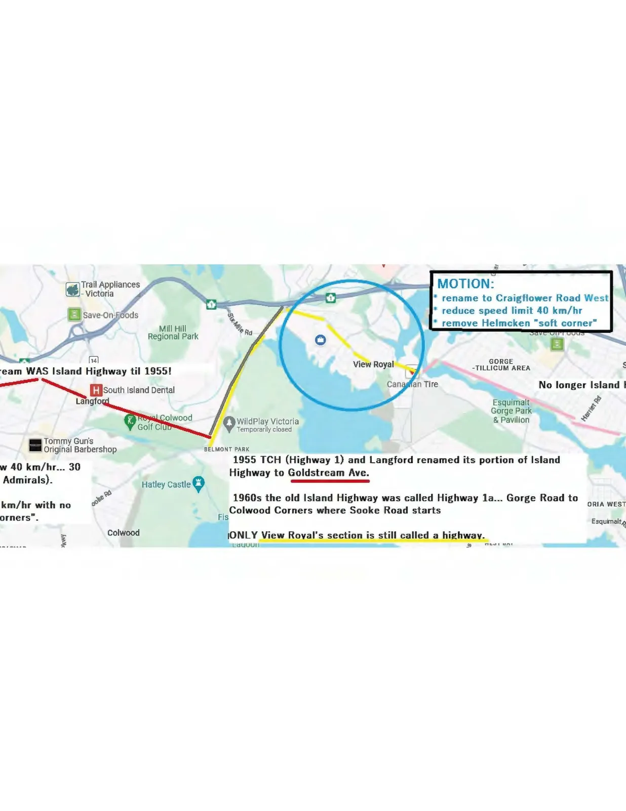
MOTION:
- rename to Craigflower Road West
- reduce speed limit 40 km/hr
- remove Helmcken "soft corner"
Historical and Roadway Annotations
- ...team WAS Island Highway til 1955!
- 1955 TCH (Highway 1) and Langford renamed its portion of Island Highway to Goldstream Ave.
- 1960s the old Island Highway was called Highway 1a... Gorge Road to Colwood Corners where Sooke Road starts
- ONLY View Royal's section is still called a highway.
- ... w 40 km/hr... 30 Admirals).
- ... km/hr with no corners".
Page 148
Extracted from: 2024 02 13 Committee of the Whole Agenda - Agenda - Pdf