This site is in beta — data may be incomplete and features are still being added.
Committee of the Whole/Documents/Attachment 3. Location Map – Lund Road (formerly 200 Cheam Road)
Appendix

Attachment 3. Location Map – Lund Road (formerly 200 Cheam Road)

June 13, 2017Page 472 sections

Cadastral map of the Lund Road property (PID 030-048-541) proposed as a community amenity contribution.

PID 030-048-541Lund Rd Property

Report to Committee of the Whole

OCP Amendment / Rezoning Application - 1938 West Park Lane Meeting Date: June 13, 2017

Attachment 3. Location Map – Lund Road (formerly 200 Cheam Road)

Page 47

Subject Property Map

Lund Rd Property (PID 030-048-541)
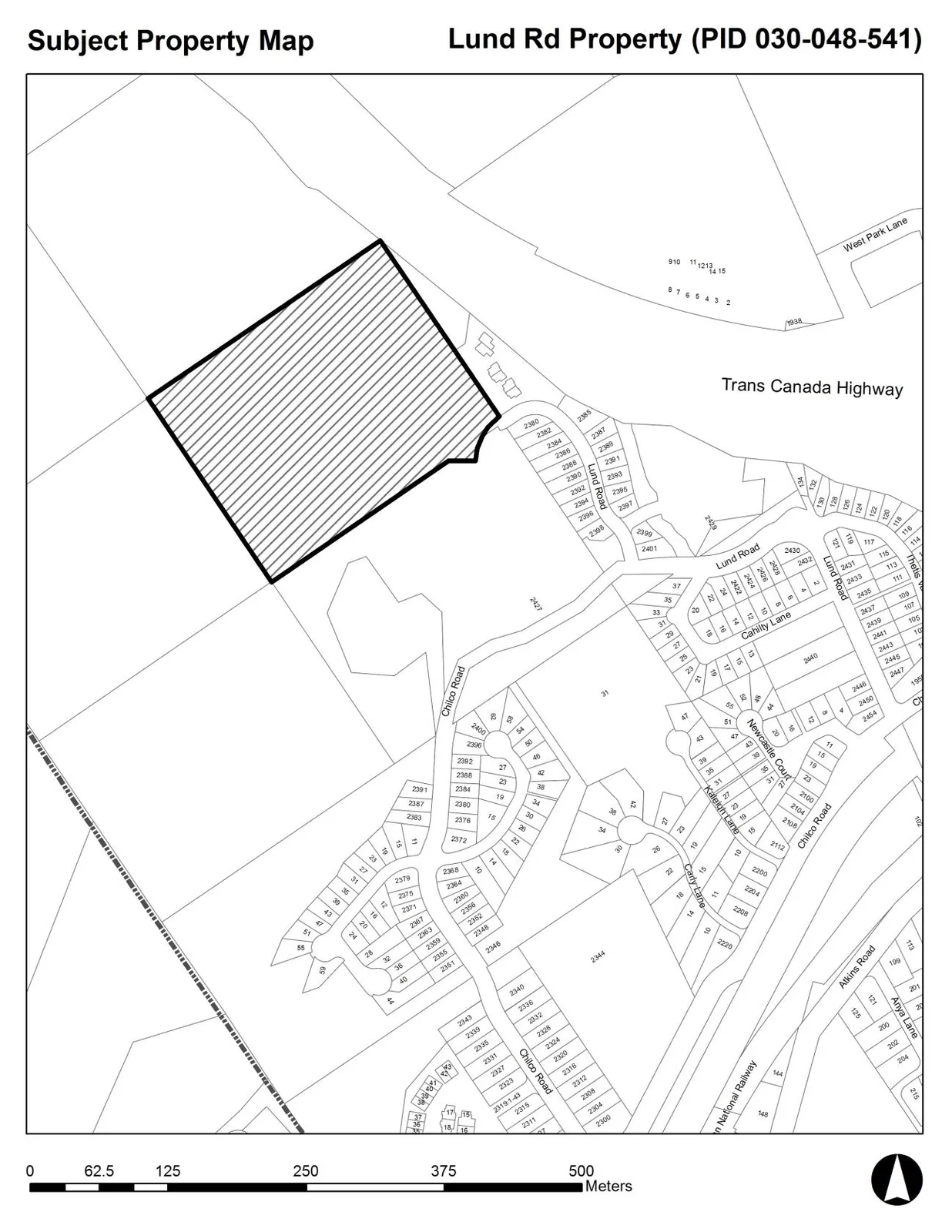
Subject Property Map showing a large hatched parcel of land (PID 030-048-541) northwest of Lund Road and Chilco Road, near the Trans Canada Highway and West Park Lane. The map includes surrounding residential lot numbers and street names such as Cahilty Lane, Newcastle Court, Kootenay Lane, Carey Lane, and Atkins Road. A scale bar at the bottom indicates a range from 0 to 500 meters.
Page 47
Extracted from: 2017 06 13 Committee of the Whole Agenda - Agenda - Pdf