Appendix
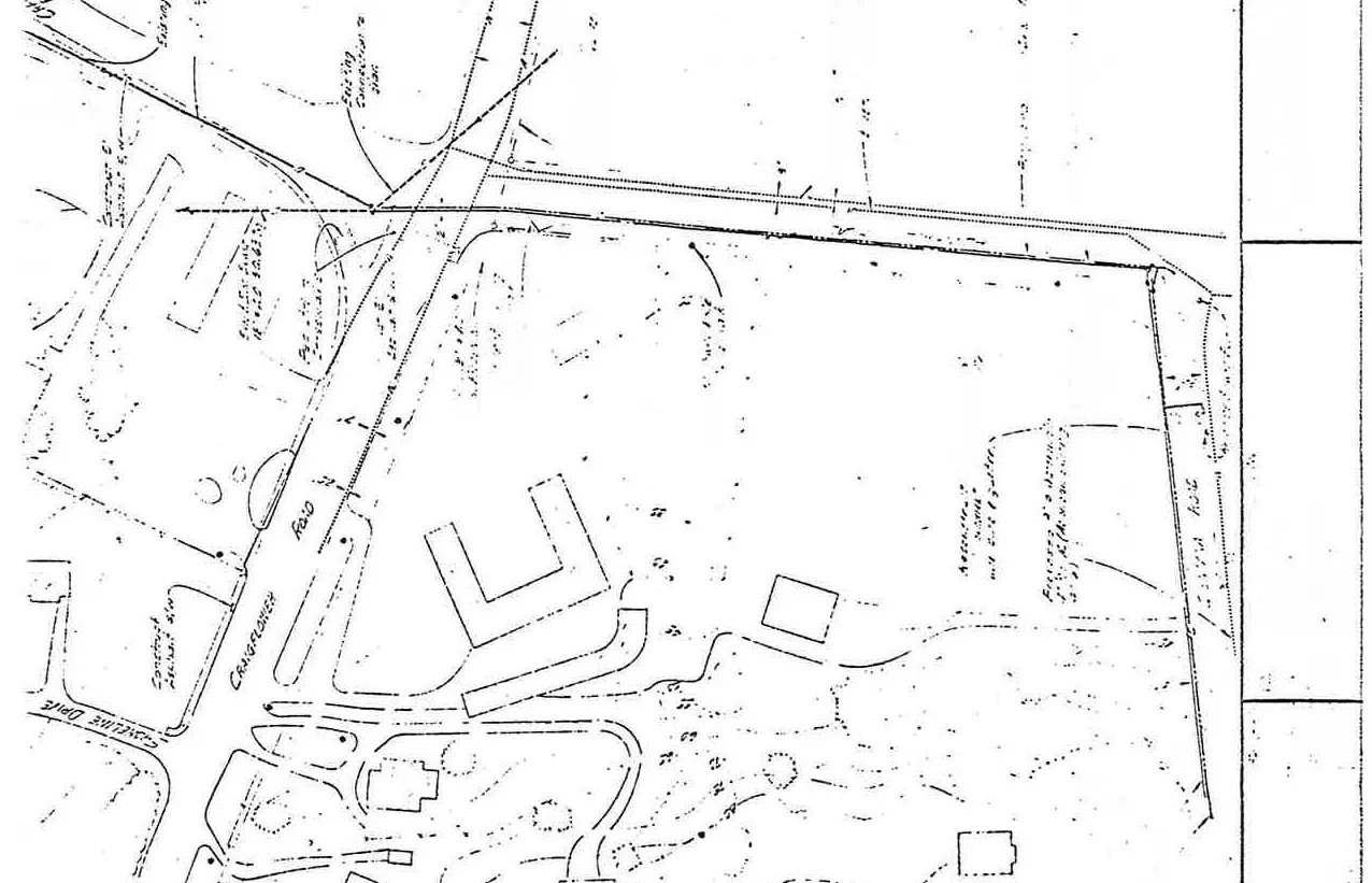
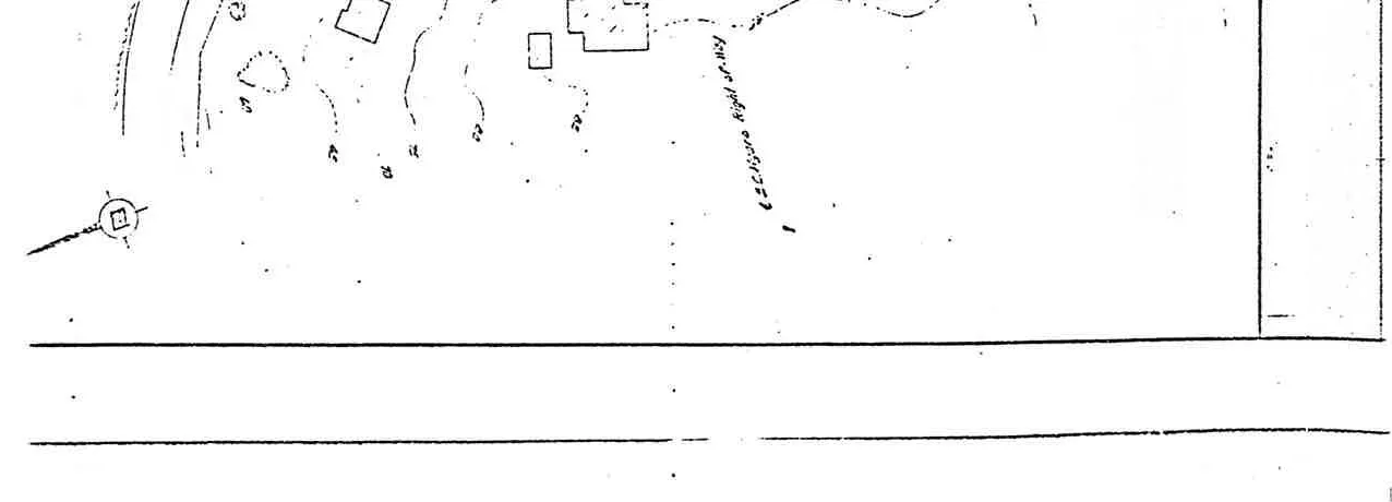
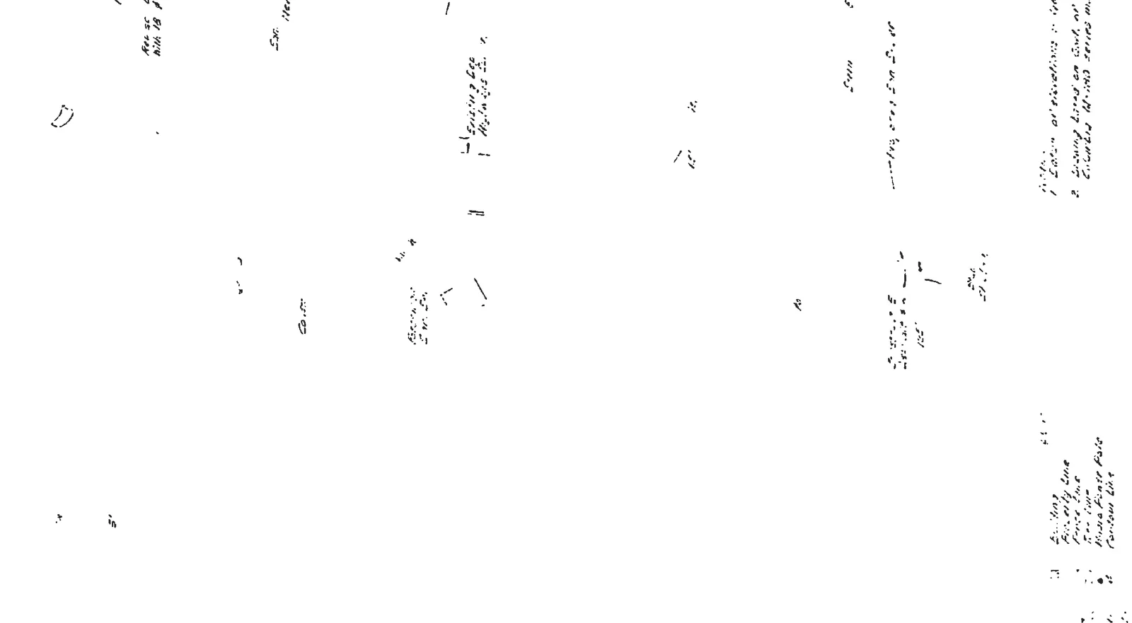
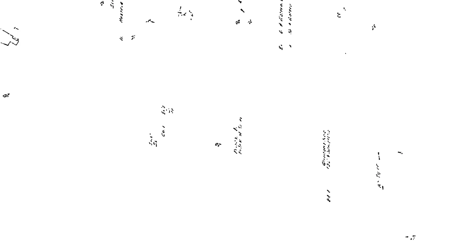
Attachment 3: Topographic Plan - Sheet 2 (Glentana Housing)
April 12, 2022Page 3221 section
Topographic engineering plan for the Glentana Housing project by Ker, Priestman & Associates Ltd.
Glentana HousingDrawing 1181-SK 4Internal page reference 322 of 330
Topographic Plan - Sheet 2
Project: Glentana Housing Client: Aske Construction Ltd. Firm: Ker, Priestman & Associates Ltd. Project No: 1181 - SK 4 Date: Sept. 1976
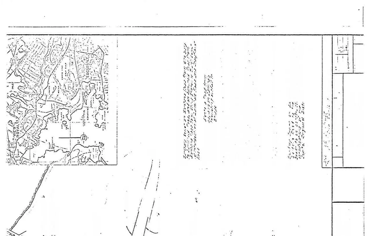
Location Plan
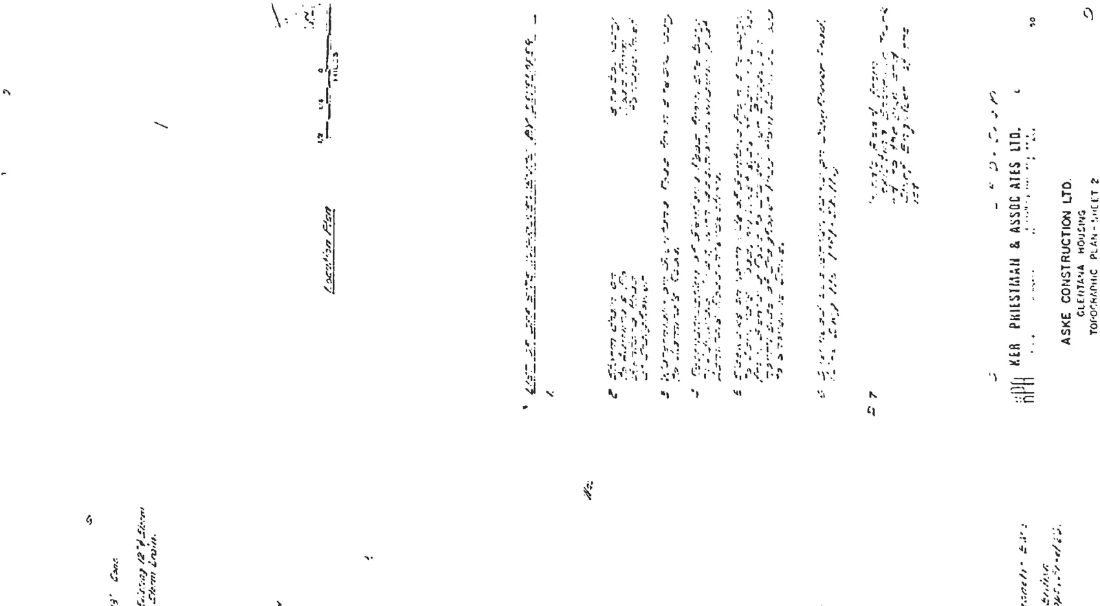
List of Off-Site Improvements by Developer
- Storm drain on [unreadable] to existing 12" storm drain on Glentana Road.
- Extension of existing watermain on Glentana Road to developer's property.
- Reconstruction of Glentana Road from developer's road to Glentana Road.
- Widening of Glentana Road from the [unreadable] property line to [unreadable].
- [unreadable] on north side of Craigflower Road from Glentana Road to shoreline.
- [unreadable] at [unreadable] on Shoreline Road.
- [unreadable] road from [unreadable] to the [unreadable] of the Chief Engineer of the [unreadable].
Legend
- Existing Property Line
- Fence Line
- Gas Main
- Hydro & Power Pole
- Contour Line
Notes
- Datum of elevations: Geodetic - B.M. [unreadable]
- Survey based on [unreadable] of British Columbia 100-1100 series map.
Site Details

Page 322
Document Images
(6)


Extracted from: 2022 04 12 Committee of the Whole Agenda - Agenda - Pdf