This site is in beta — data may be incomplete and features are still being added.
Committee of the Whole/Documents/Attachment 2 - Subject Property Orthophoto
Appendix

Attachment 2 - Subject Property Orthophoto

June 14, 2022Page 601 section

Aerial photograph with the development site boundary outlined in red.

7.2.3.b Development Permit Application No. 2021/02 - 167, 169 and 171 Island Highway
Site bounded by Island Hwy, Portage Park, and Town HallOrthophoto context

Attachment 2
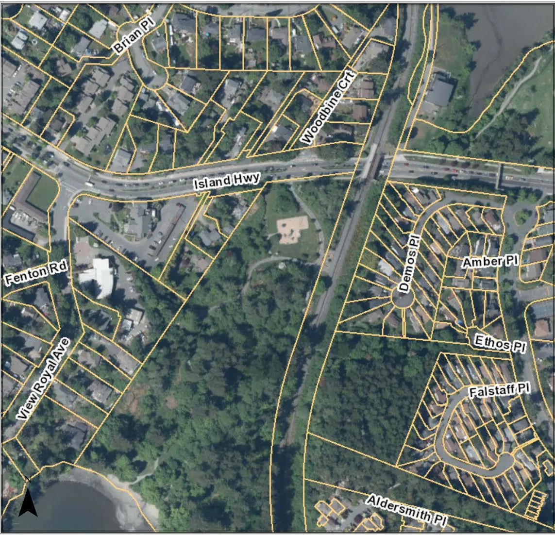
Aerial map showing property parcels with a lot outlined in red on Island Hwy, including surrounding street names such as Fenton Rd, Brian Pl, Woodbine Crt, and View Royal Ave.
Page 60
Extracted from: 2022 06 14 Committee of the Whole Agenda - Agenda - Pdf