Council Meeting/Documents/Schedule "A" to Bylaw No. 989 - Permitted Voting Opportunity Sign Area on Public Property
Appendix
Schedule "A" to Bylaw No. 989 - Permitted Voting Opportunity Sign Area on Public Property
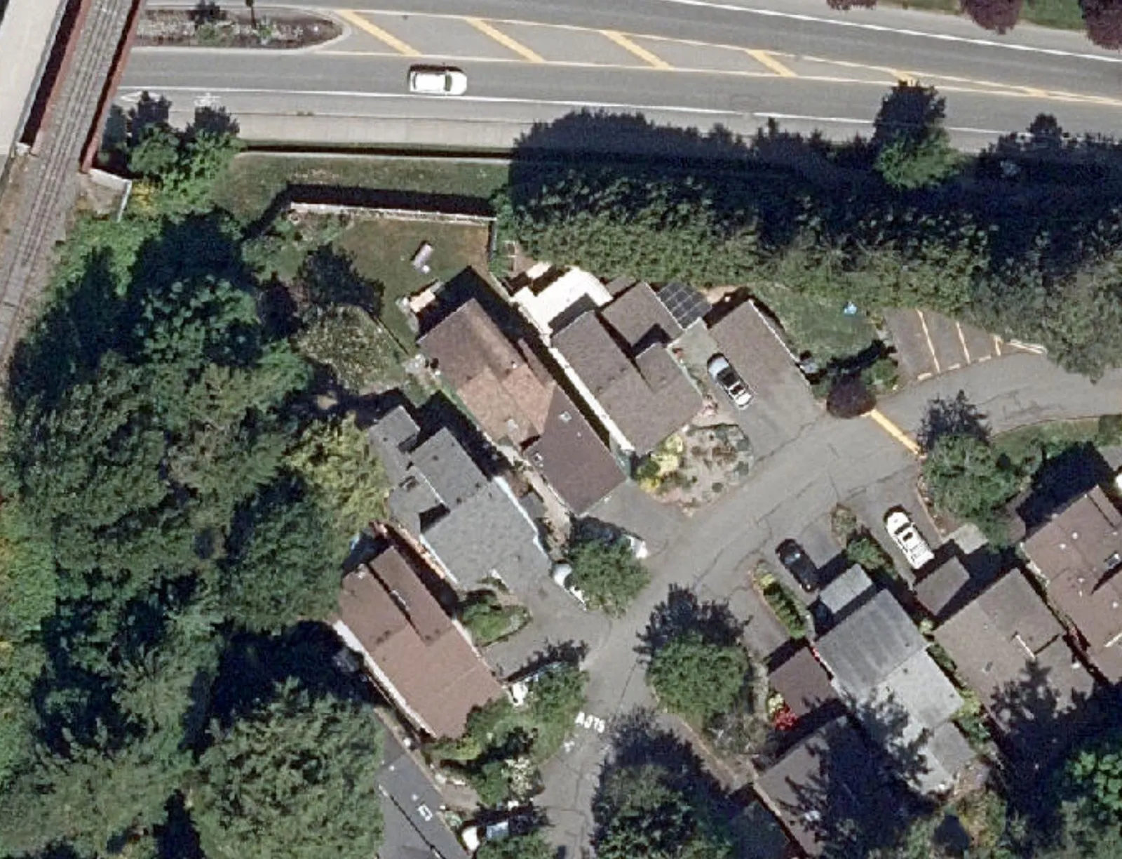
Maps showing designated public land areas where voting opportunity signs are permitted.
Area 1: Island Hwy at Pedestrian OverpassArea 2: Helmcken Rd at Centennial ParkArea 3: Chilco Rd at Six Mile Rd
Permitted Voting Opportunity Sign Area on Public Property
June 2024
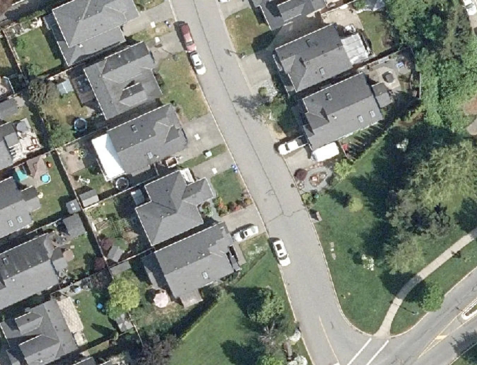
Permitted Areas for Voting Opportunity Signs
- Area 1
- Area 2
- Area 3
The data represented on this map is intended for reference purposes only.
Page 12–15
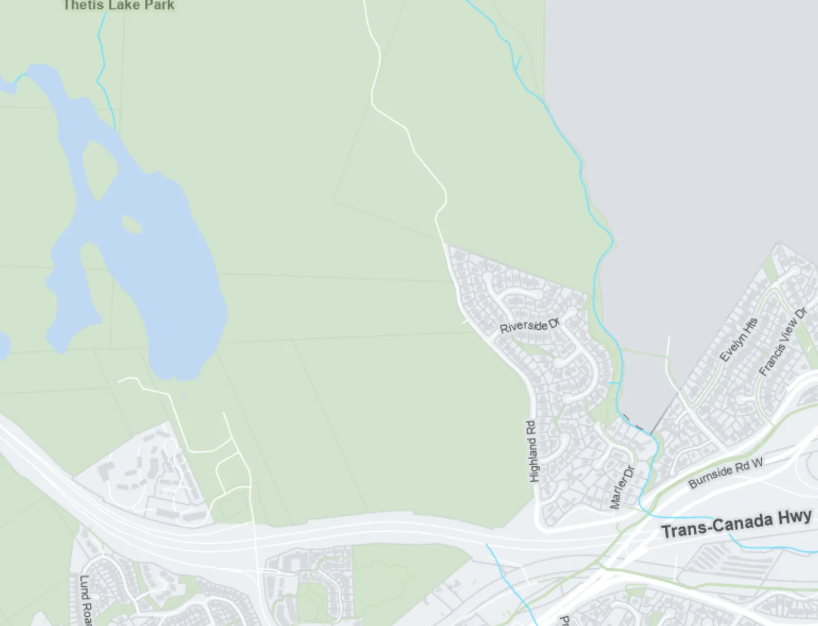
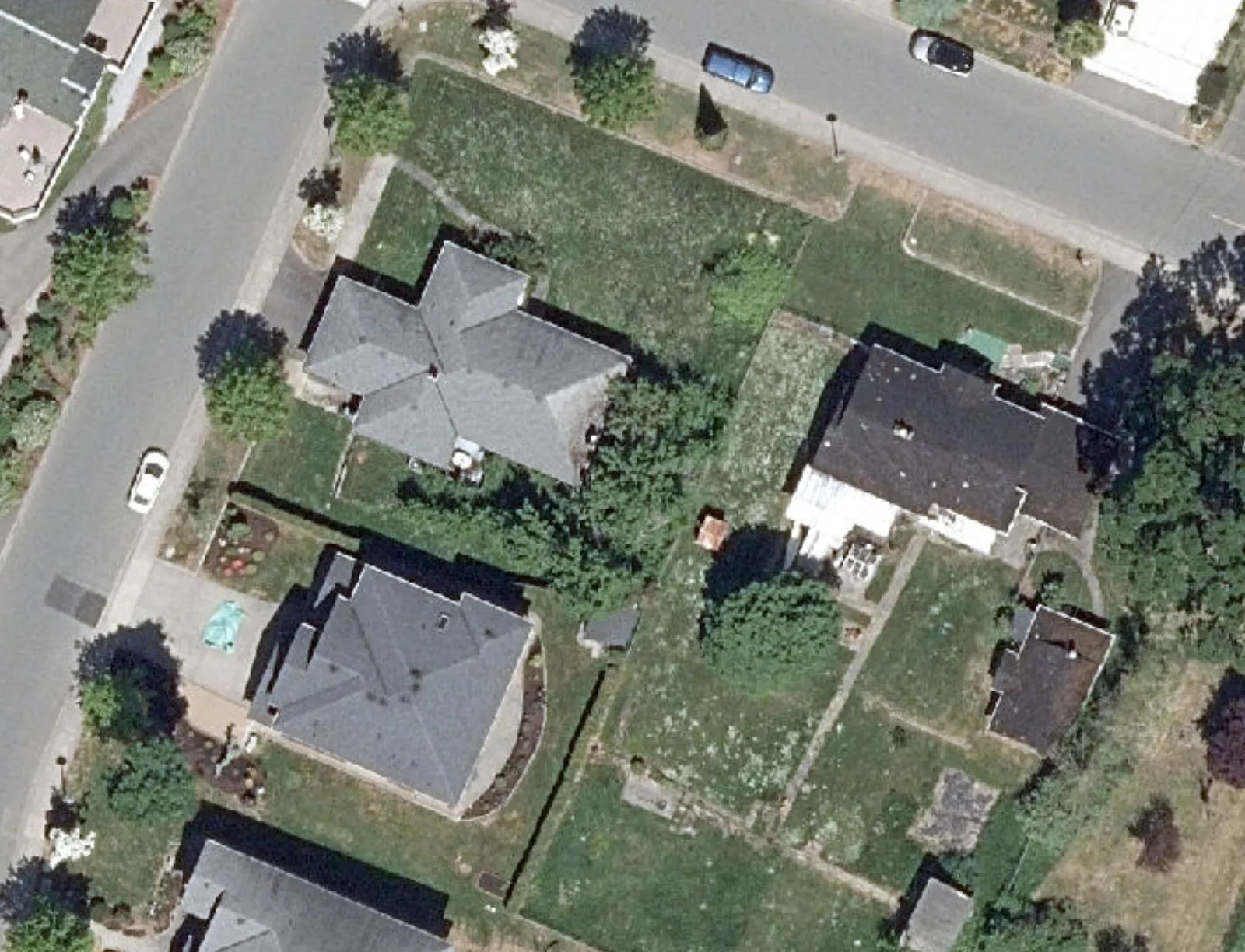
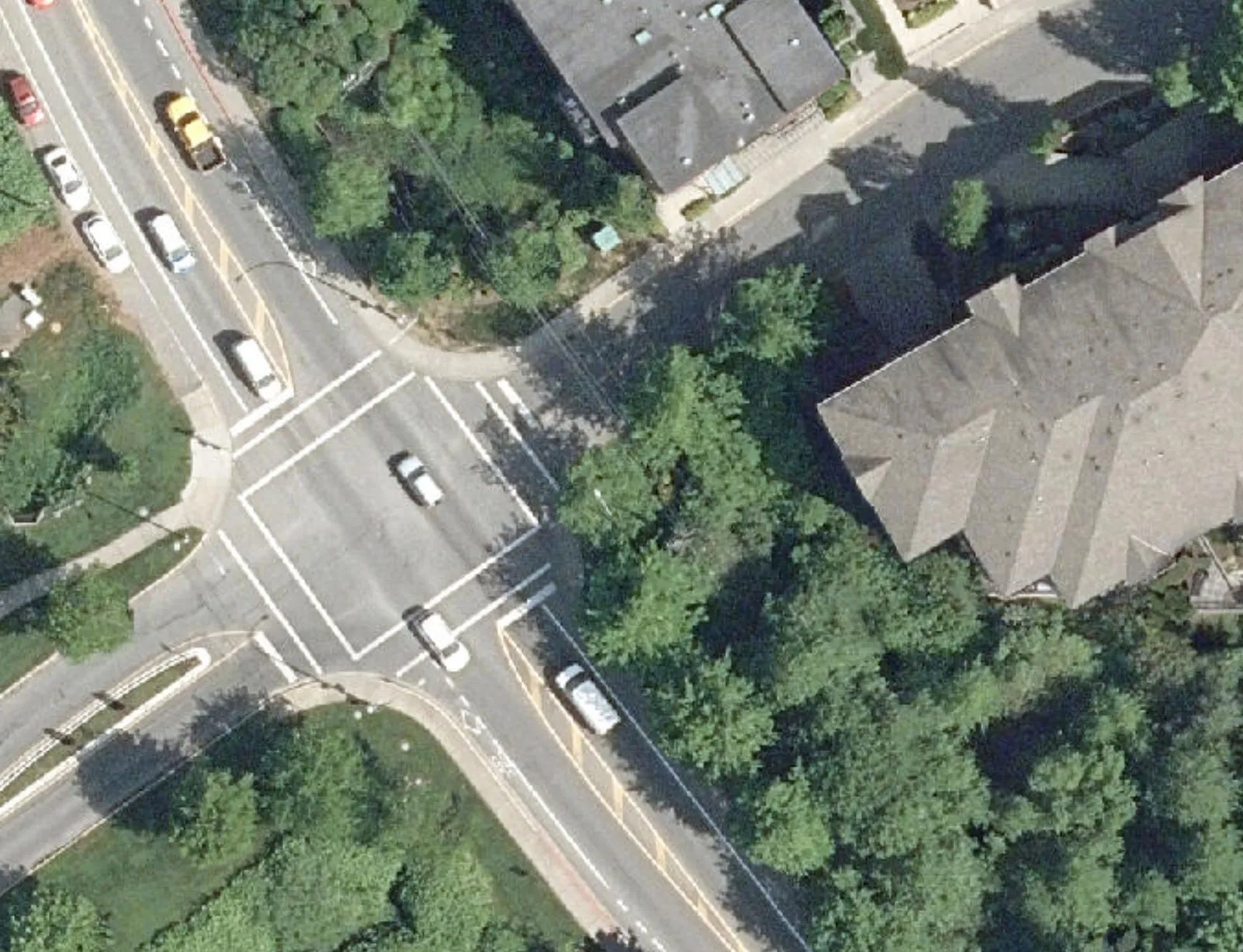
Permitted Voting Opportunity Sign Area on Public Property
Area 1 - Island Hwy at Pedestrian Overpass
June 2024
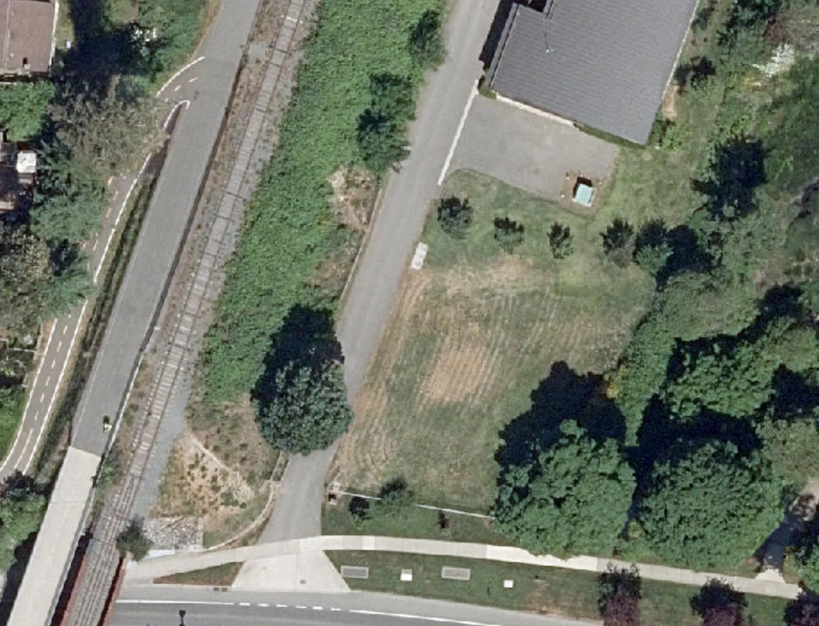
Area 1
- Length: 57m
- Width: 4.5m
Legend
- Designated Town Public Land Areas for Voting Opportunity Signs (indicated by red diagonal hatching)
The data represented on this map is intended for reference purposes only.
Page 12–15
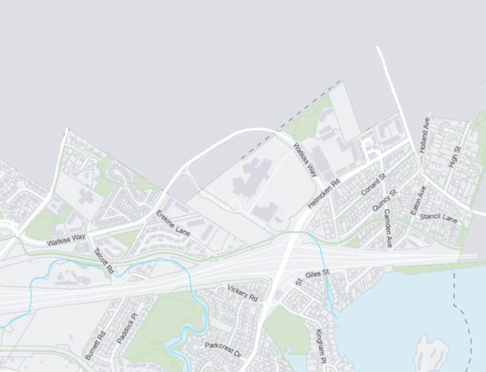
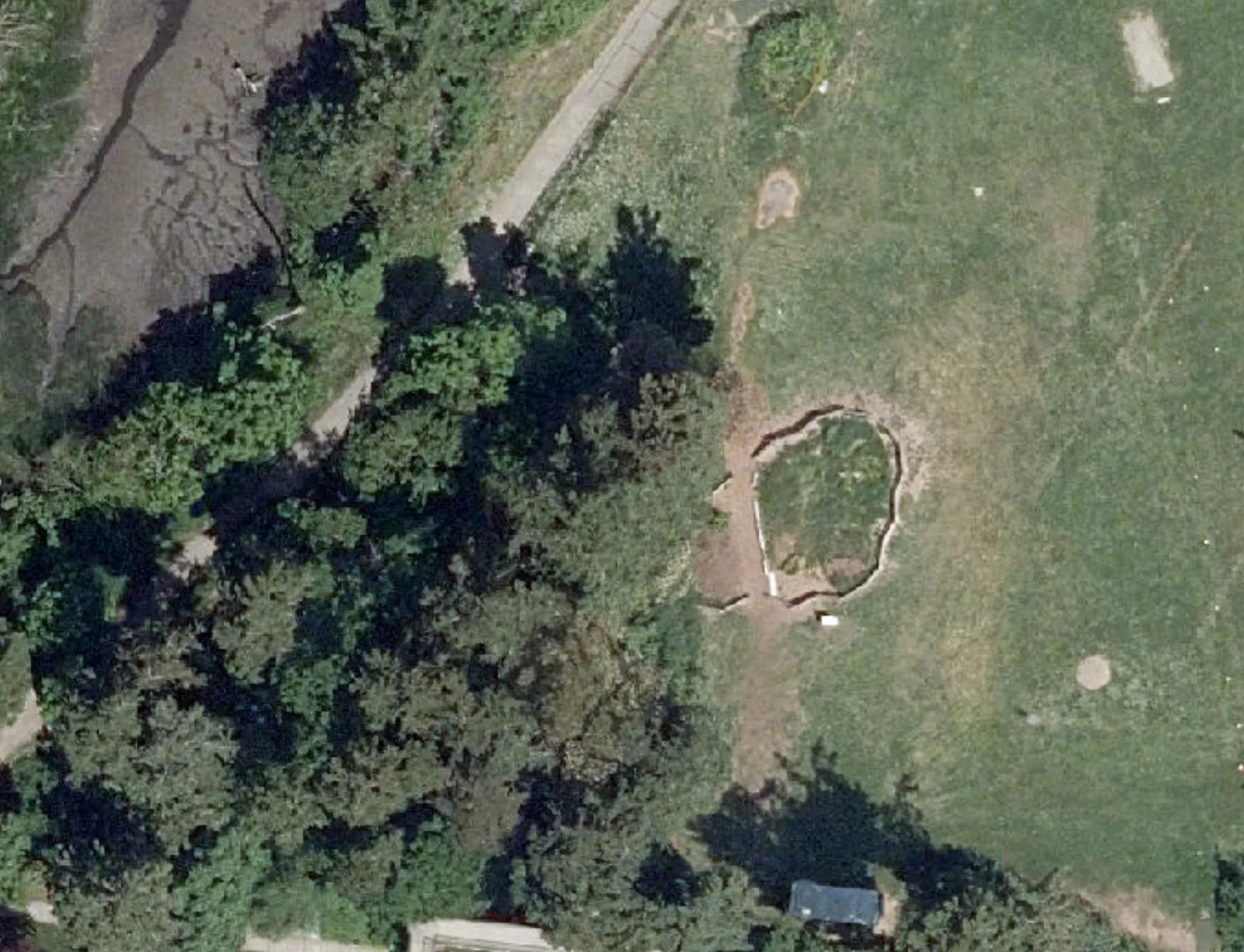
Permitted Voting Opportunity Sign Area on Public Property
Area 2 - Helmcken Rd at Centennial Park
June 2024
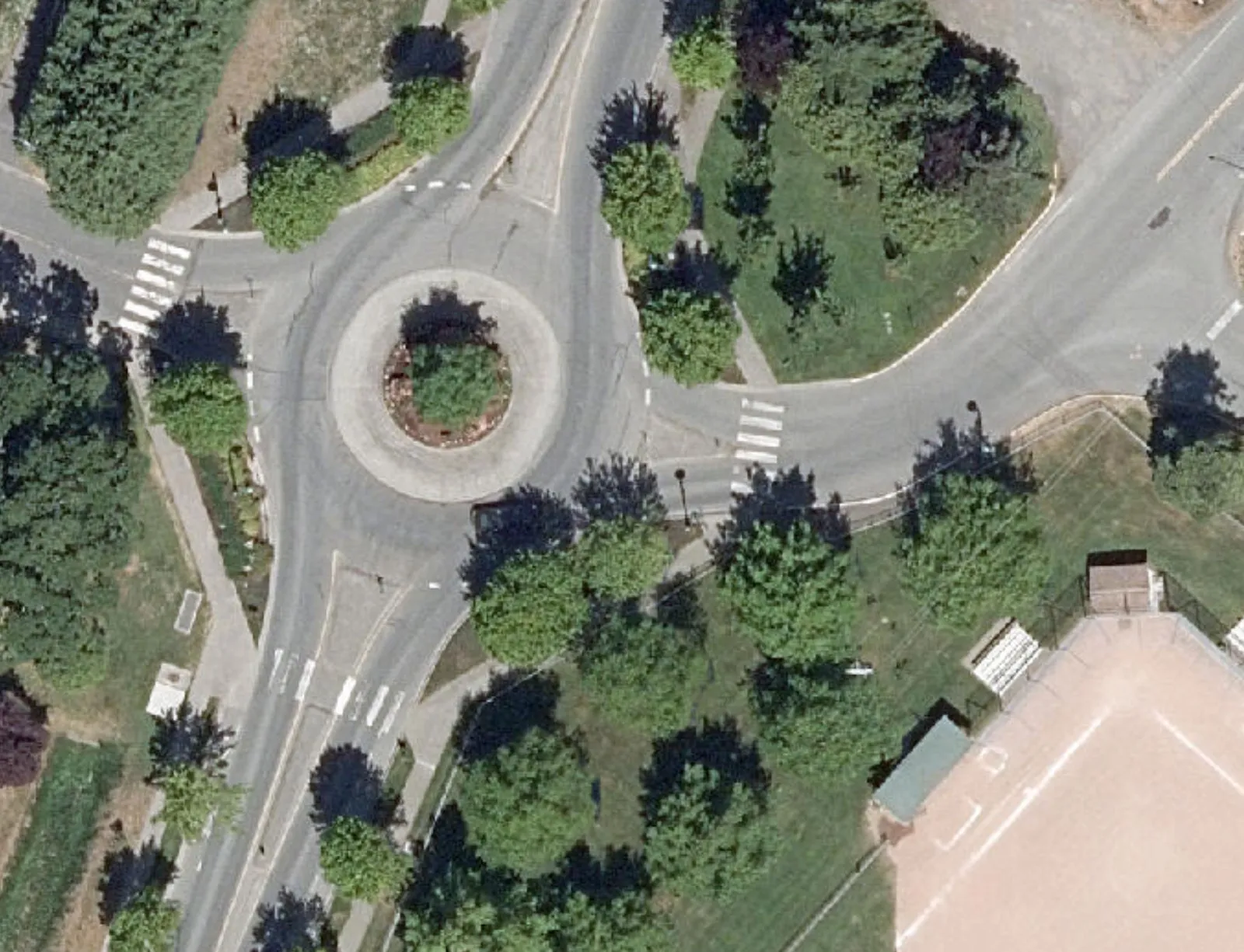
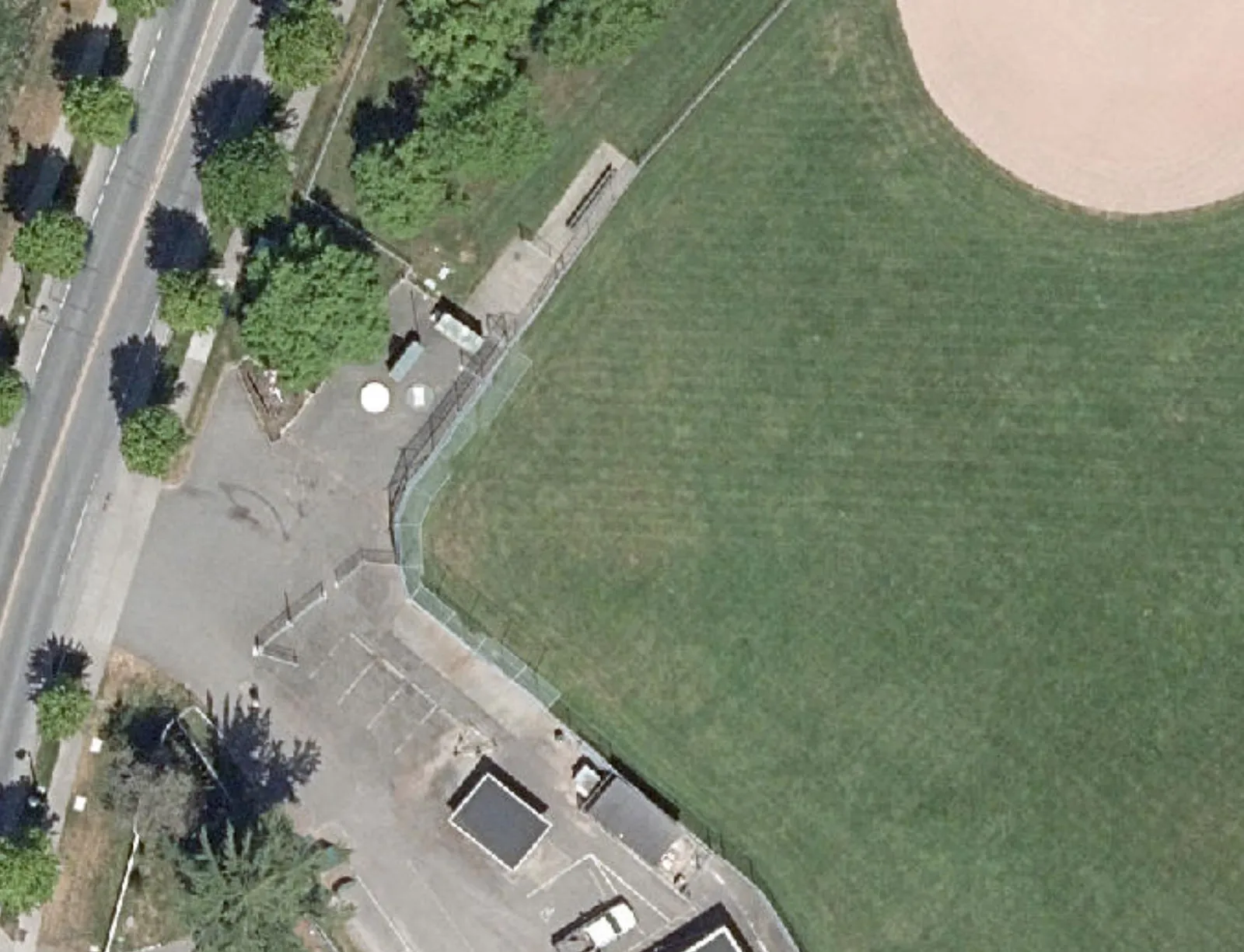
Area 2
- Length: 31m
- Width: 11m
Legend
- Designated Town Public Land Areas for Voting Opportunity Signs (indicated by red diagonal hatching)
The data represented on this map is intended for reference purposes only.
Page 12–15
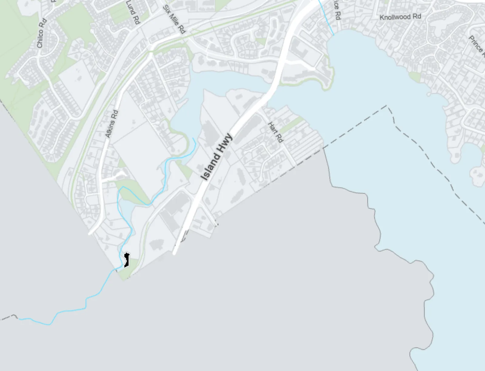
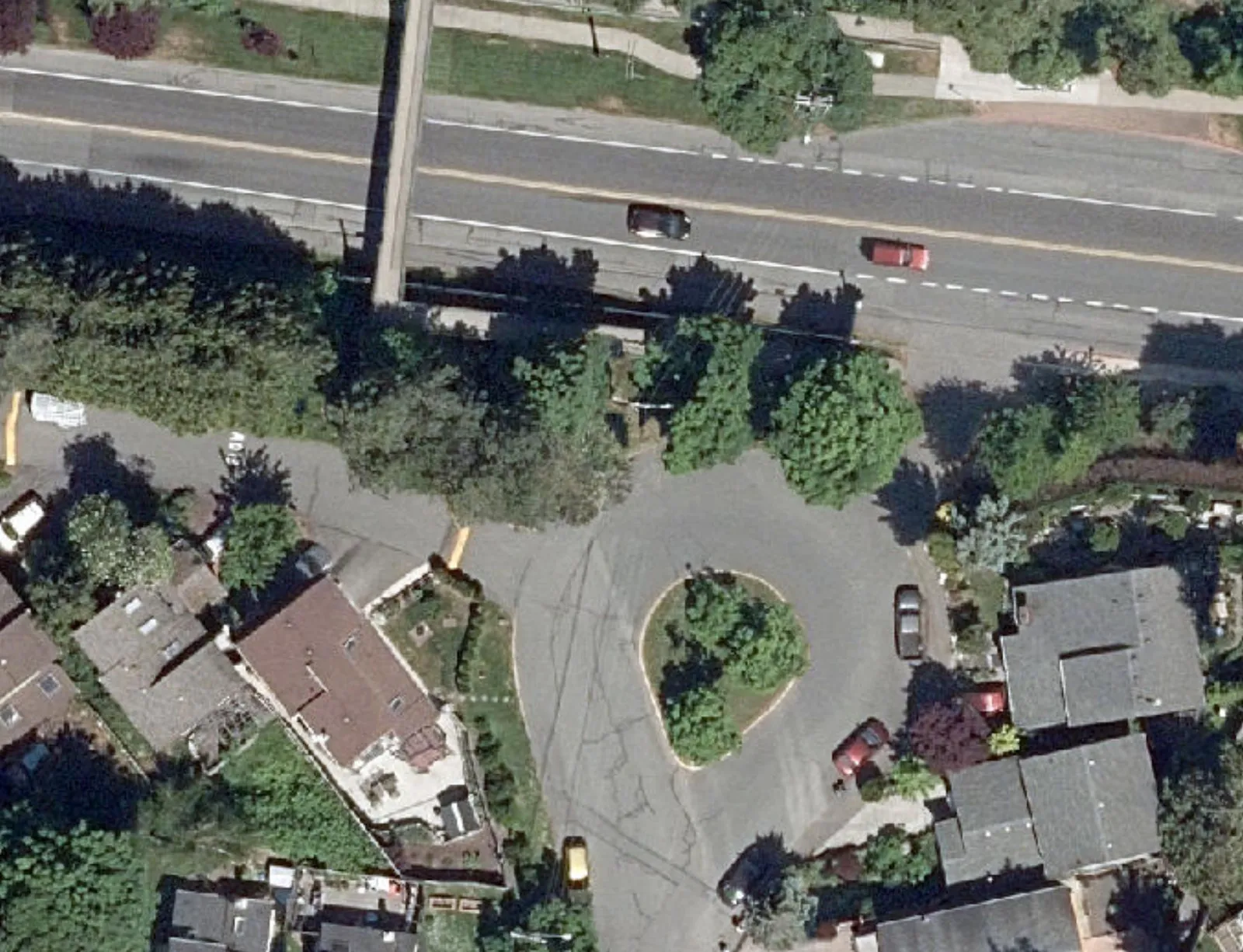
Permitted Voting Opportunity Sign Area on Public Property
Area 3 - Chilco Rd at Six Mile Rd
June 2024
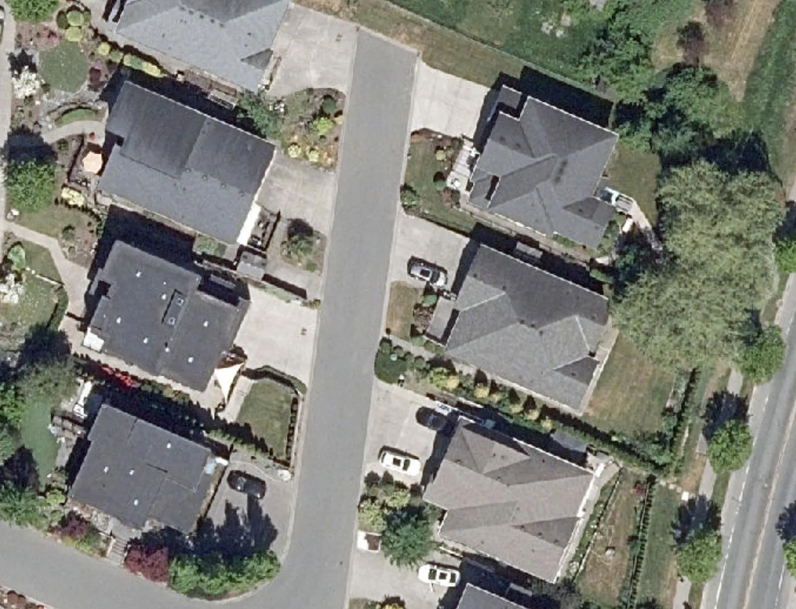
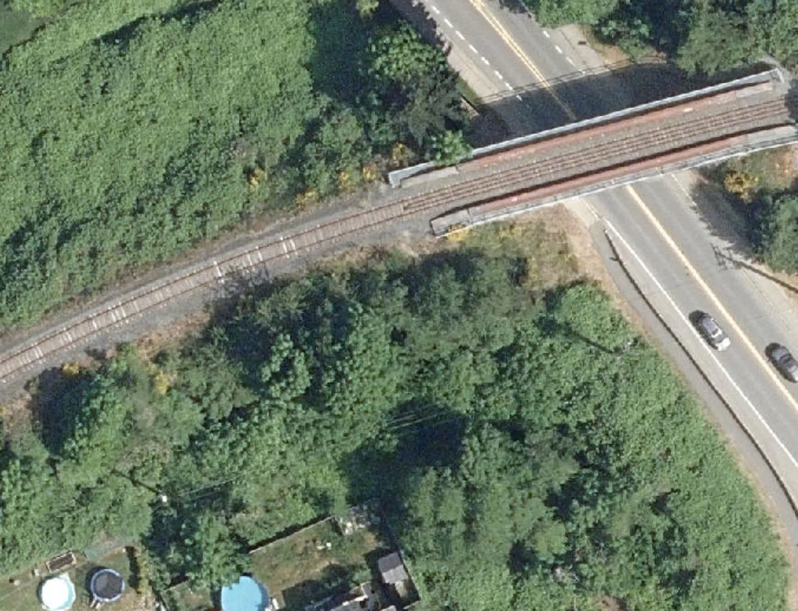
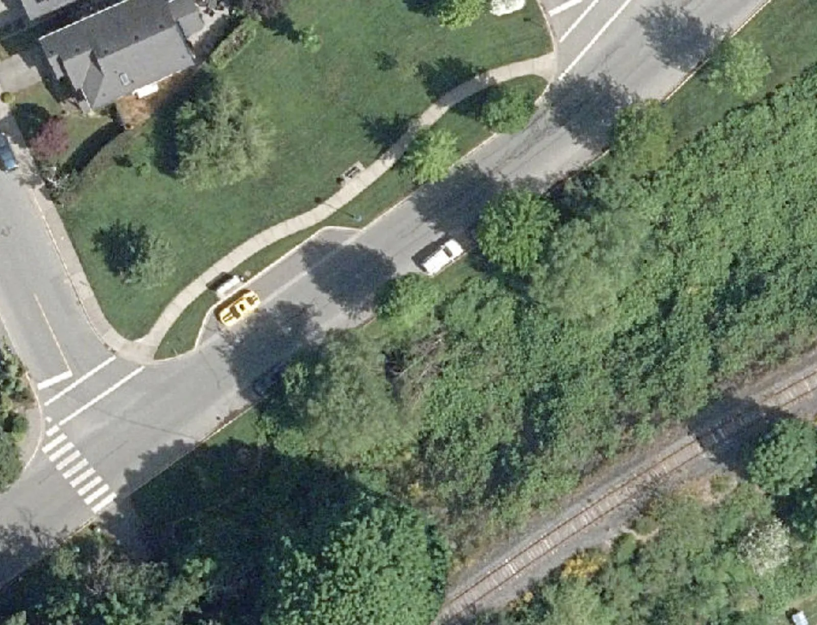
Area 3
- Length: 43m
- Width: 4.1m
Legend
- Designated Town Public Land Areas for Voting Opportunity Signs (indicated by red diagonal hatching)
The data represented on this map is intended for reference purposes only.
Page 12–15
Related Documents
(1)Extracted from: 2026 04 07 Council Meeting - Agenda - Pdf(453 pages total)