Attachment 2 - View Royal 2050: Our Future View Official Community Plan DRAFT
The comprehensive first draft of the Town of View Royal's new Official Community Plan.
View Royal 2050: Our Future View
Official Community Plan DRAFT
Territorial Acknowledgement
The Town of View Royal humbly acknowledges that it is situated upon the unceded traditional territories of the lək̓ʷəŋən (Lekwungen) Peoples, known today as the Xʷsepsəm and Songhees Nations. We honour and respect the history, languages, ceremonies, and culture of the First Nations peoples, including the Xʷsepsəm and Songhees Nations, as well as the Métis, Inuit, and Non-Status Aboriginal Peoples whose presence and culture enrich the community.
These lands have been stewarded by the lək̓ʷəŋən Peoples since time immemorial, and their connection to the land and waters and Title and rights in these territories remain intact. As a local government, we are settlers and guests on these lands and acknowledge our responsibility to the land, its resources, and its people. We give thanks to the lək̓ʷəŋən People—past, present, and future—for their stewardship, care, and leadership on these lands.
Contents
Part One: The Plan Context (1)
- 1.0 Plan Overview (2)
- 1.1 What is an OCP? (2)
- 1.2 How We Got Here (4)
- 1.3 How to Use This OCP (12)
- 2.0 View Royal 2050 (14)
- 2.1 Overview (14)
- 2.2 Vision (14)
- 2.3 Goals (14)
- 3.0 Reconciliation (19)
- 3.1 Context (19)
- 3.2 Songhees Nation Today (20)
- 3.3 Xʷsepsəm Nation Today (21)
- 4.0 Context of View Royal (22)
- 4.1 Physical Setting (22)
- 4.2 Community Traits (22)
- 4.3 Regional Trends (23)
- 4.4 Community Profile (25)
- 4.5 Community Growth (37)
Part Two: Land Use (49)
- 5.0 Land Use (50)
- 5.1 General Framework and Considerations (50)
- 5.2 Western Gateway Employment District Corridor Designation (62)
- 5.3 Hospital Transit-Oriented Area Designation (65)
- 5.4 Neighbourhood Village Designation (68)
- 5.5 Neighbourhood Centre Designation (70)
- 5.6 Commercial Designation (71)
- 5.7 Intensive Mixed Use Designation (73)
- 5.8 Neighbourhood Mixed Use Designation (75)
- 5.9 Mixed Residential Designation (77)
- 5.10 Small-Scale Multi-Unit Housing Designation (79)
- 5.11 Residential Designation (82)
- 5.12 Large Lot Residential Designation (84)
- 5.13 Rural Designation (84)
- 5.14 Community Facility Designation (85)
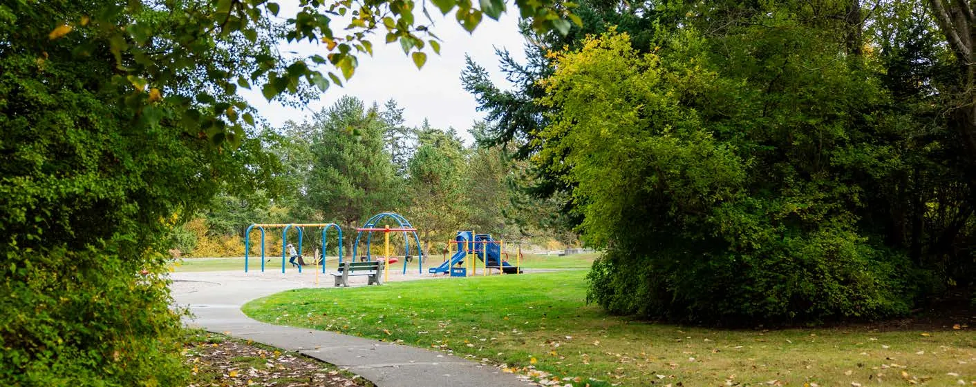
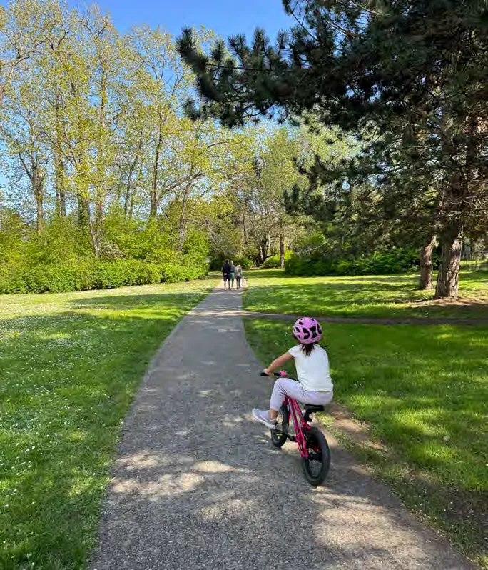
- 5.15 Parks, Trails and Open Space Designation (87)
- 5.16 Urban Reserve Designation (89)
Part Three: Policies (90)
- 6.0 Housing (91)
- 6.1 Context (91)
- 6.2 Objectives (92)
- 6.3 Policies (92)
- 7.0 Transportation and Mobility (97)
- 7.1 Context (97)
- 7.2 Objectives (100)
- 7.3 Policies (101)
- 8.0 Community Infrastructure and Services (111)
- 8.1 Context (111)
- 8.2 Objectives (116)
- 8.3 Policies (116)
- 9.0 Economic Development (120)
- 9.1 Context (120)
- 9.2 Objectives (121)
- 9.3 Policies (122)
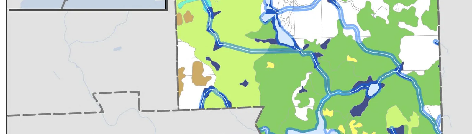
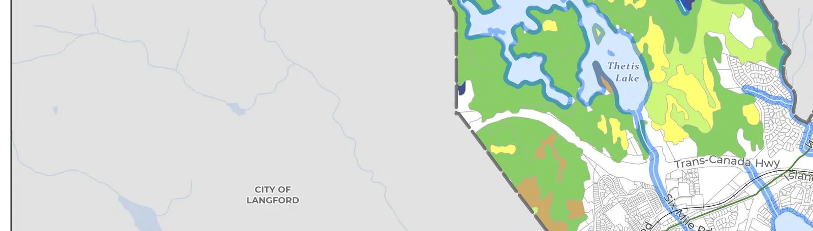
- 10.0 Natural Environment (124)
- 10.1 Context (124)
- 10.2 Objectives (131)
- 10.3 Policies (131)
- 11.0 Climate Action and Sustainability (136)
- 11.1 Context (136)
- 11.2 Objectives (137)
- 11.3 Policies (138)
- 12.0 Parks, Trails and Recreation (141)
- 12.1 Context (141)
- 12.2 Objectives (143)
- 12.3 Policies (144)
- 13.0 Community Well-Being and Culture (147)
- 13.1 Context (147)
- 13.2 Objectives (149)
- 13.3 Policies (150)
- 14.0 Reconciliation (154)
- 14.1 Context (154)
- 14.2 Objectives (155)
- 14.3 Policies (155)
Part Four: Implementation (157)
- 15.0 Action Plan (158)
- 15.1 Context (158)
- 15.2 Short-Term Actions (158)
- 15.3 Medium-Term Actions (171)
- 15.4 Long-Term Actions (179)
- 15.5 Plan Monitoring and Evaluation (182)
- 16.0 Regional Context Statement (183)
- 16.1 Context (183)
- 16.2 Regional Context Statement Alignment (184)
Part Five: Development Permit Areas (194)
Glossary (196)
Table of Maps
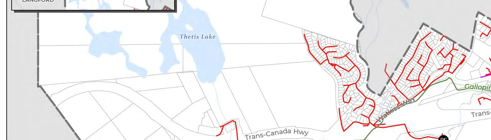
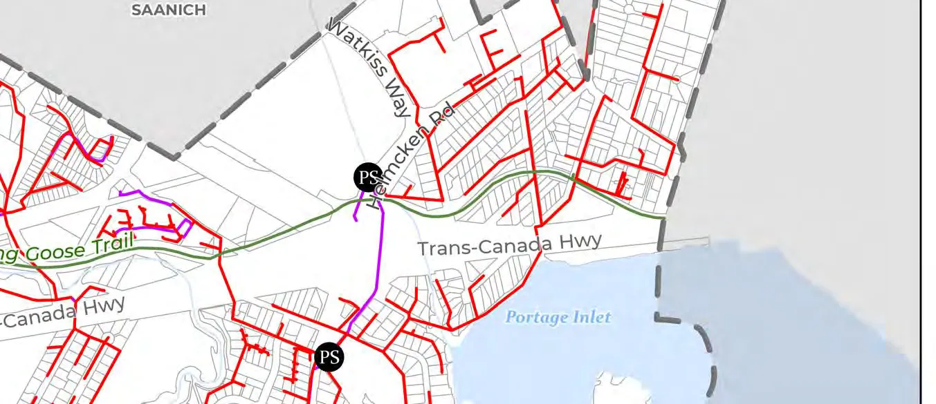
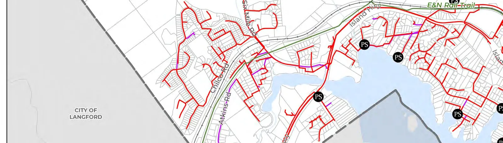
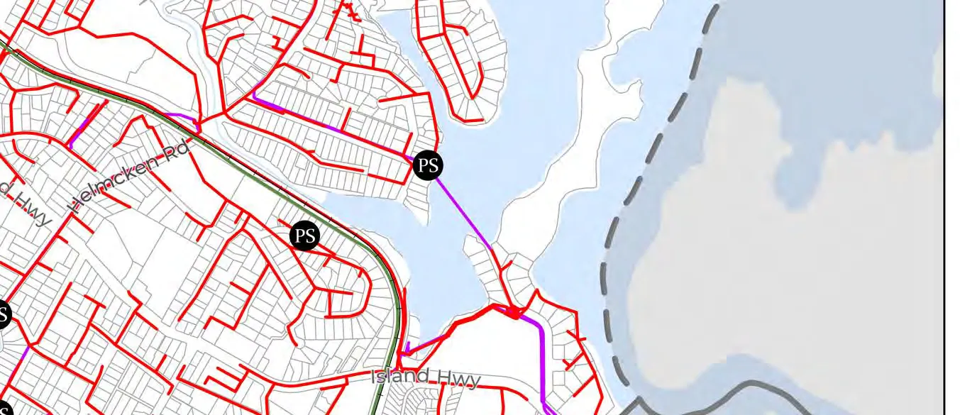
- Map 1: Land Use (57)
- Map 2: Agricultural Land Reserve Lands (88)
- Map 3: Mobility (99)
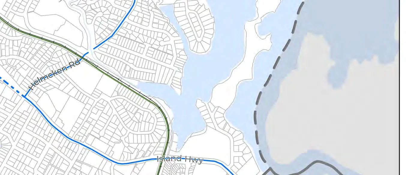
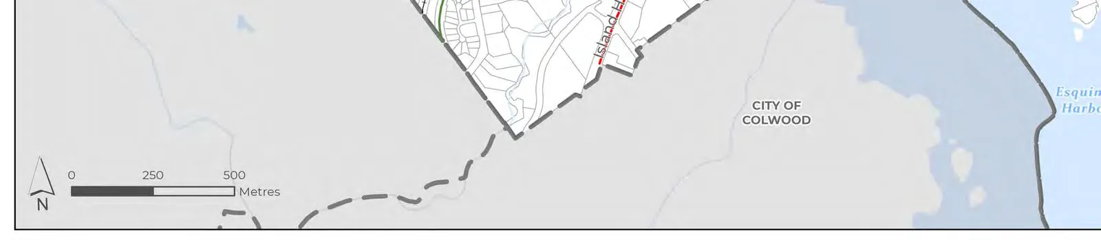
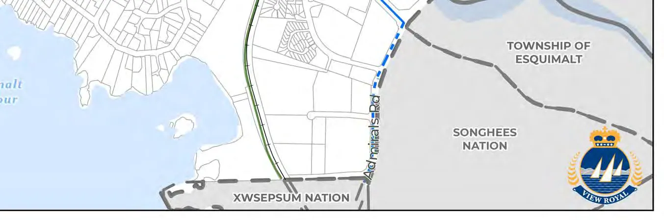
- Map 4: Existing Active Transportation Network (104)
- Map 5: Future Pedestrian Network (105)
- Map 6: Future Cycling Network (106)
- Map 7: Street Classification (108)
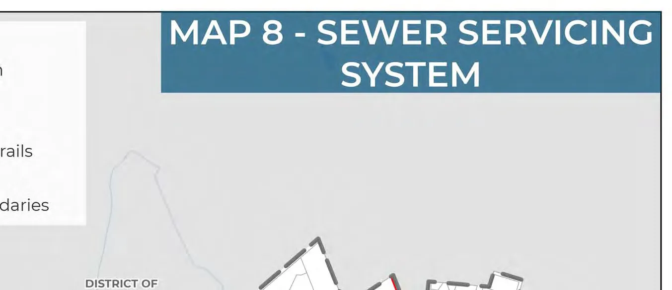
- Map 8: Sewer Servicing System (113)
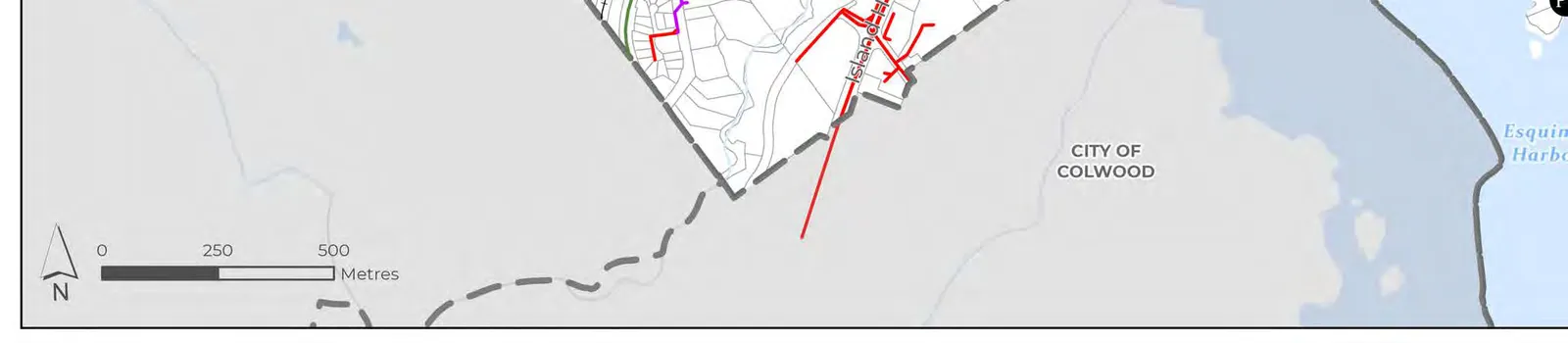
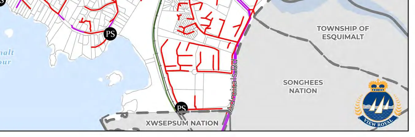
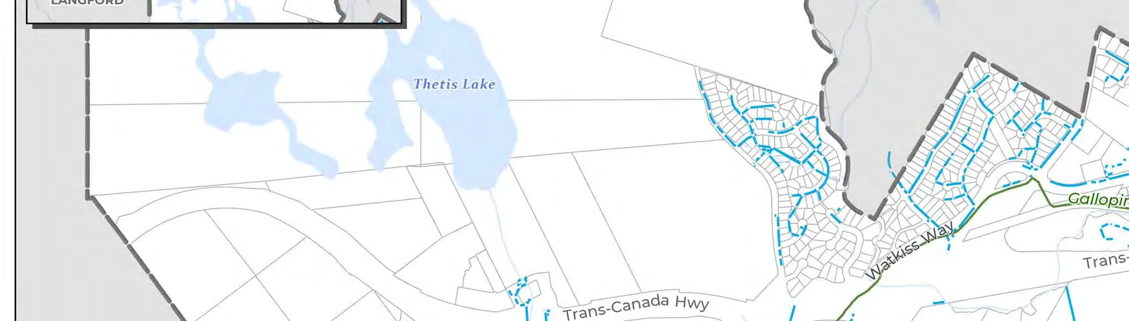
- Map 9: Stormwater Servicing System (114)
- Map 10: Water Servicing System (115)
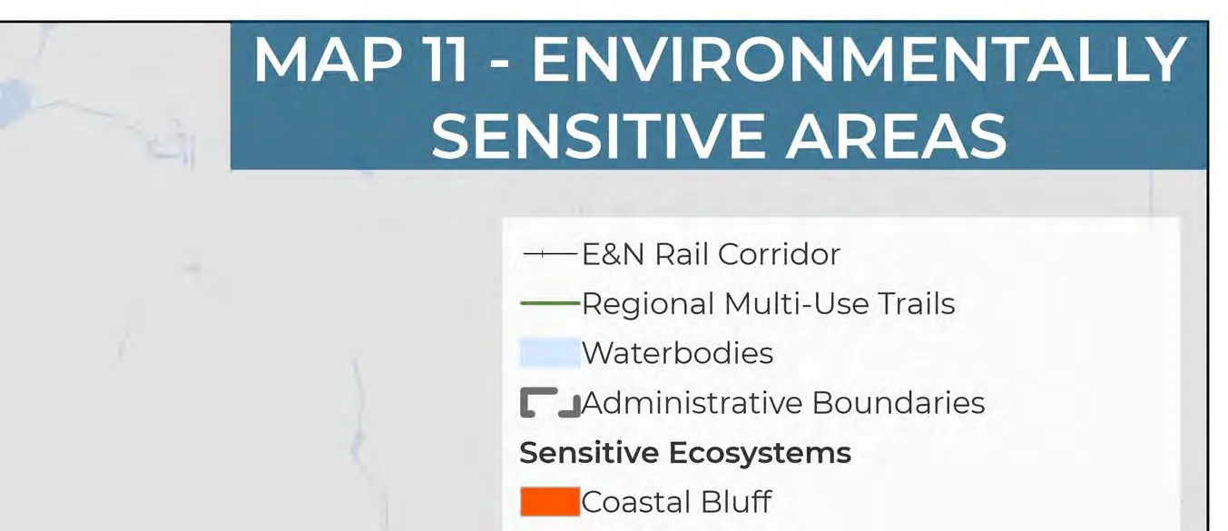
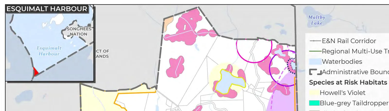
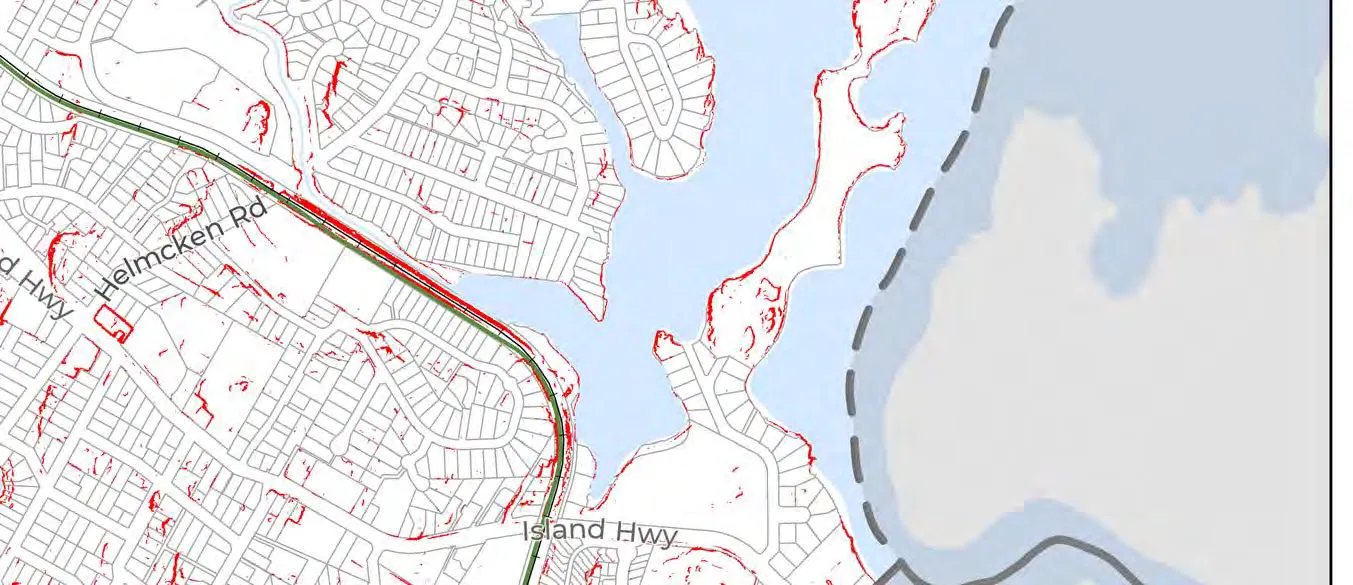
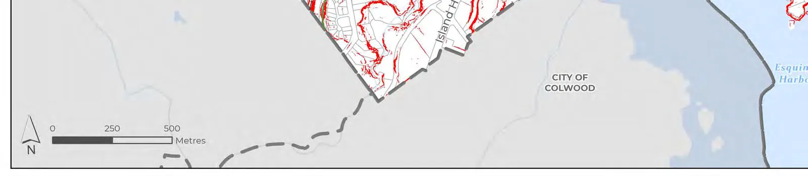
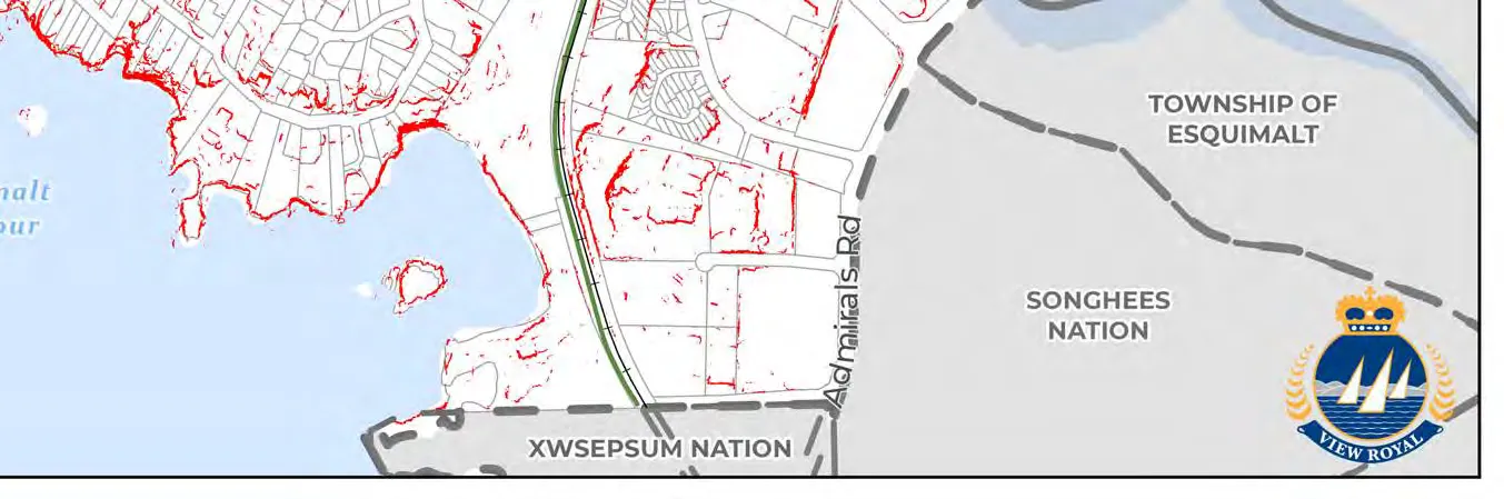
- Map 11: Environmentally Sensitive Areas (127)
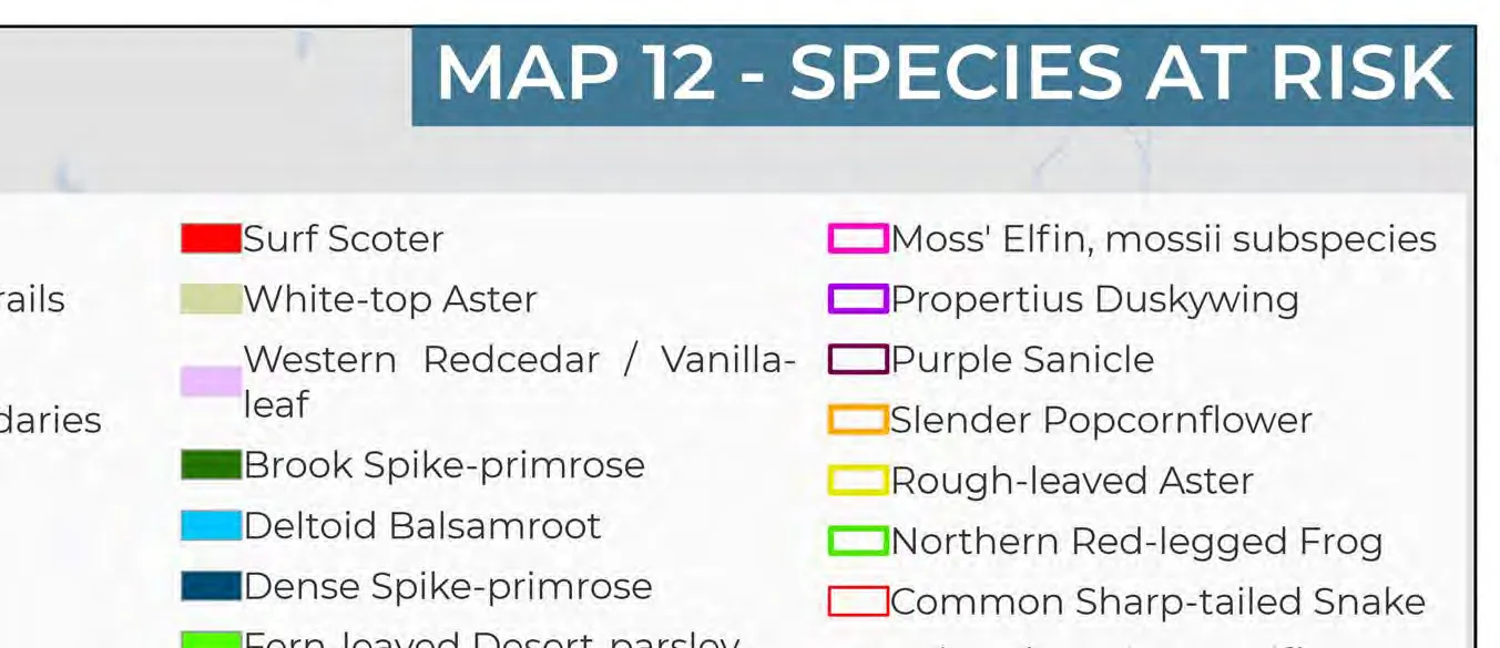
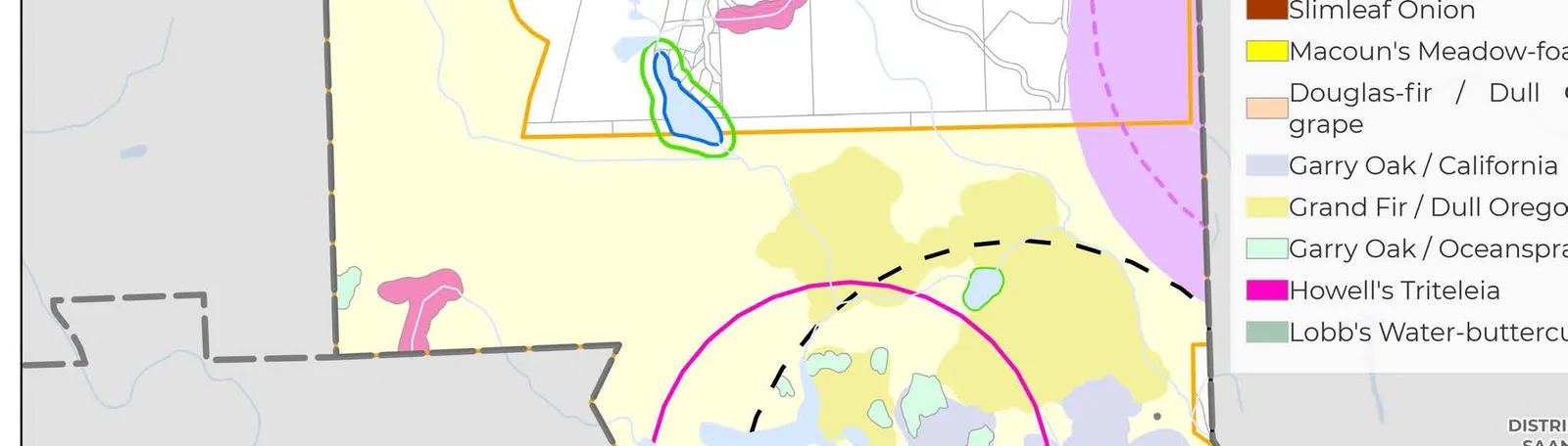
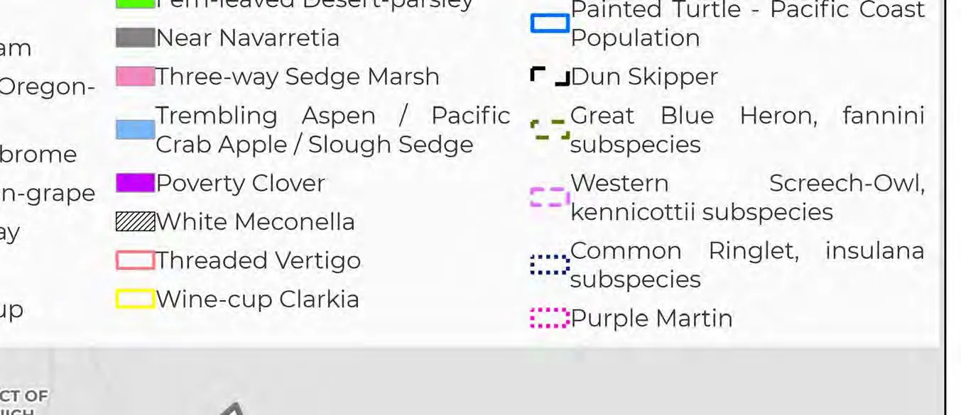
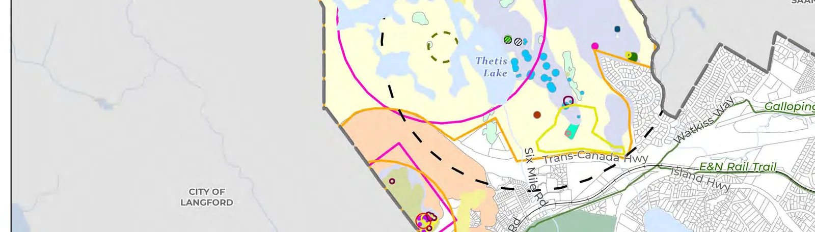
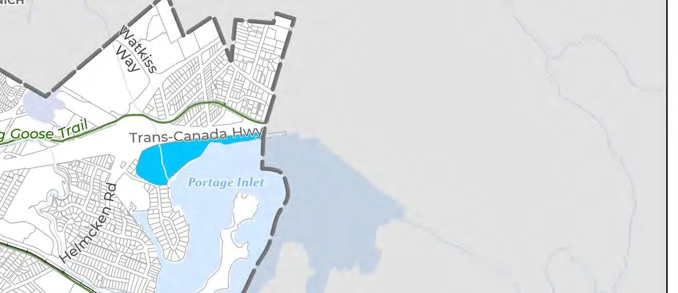
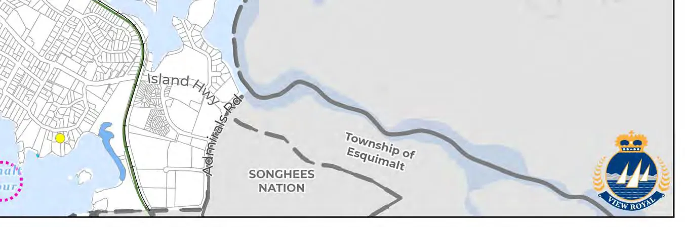
- Map 12: Species at Risk (128)
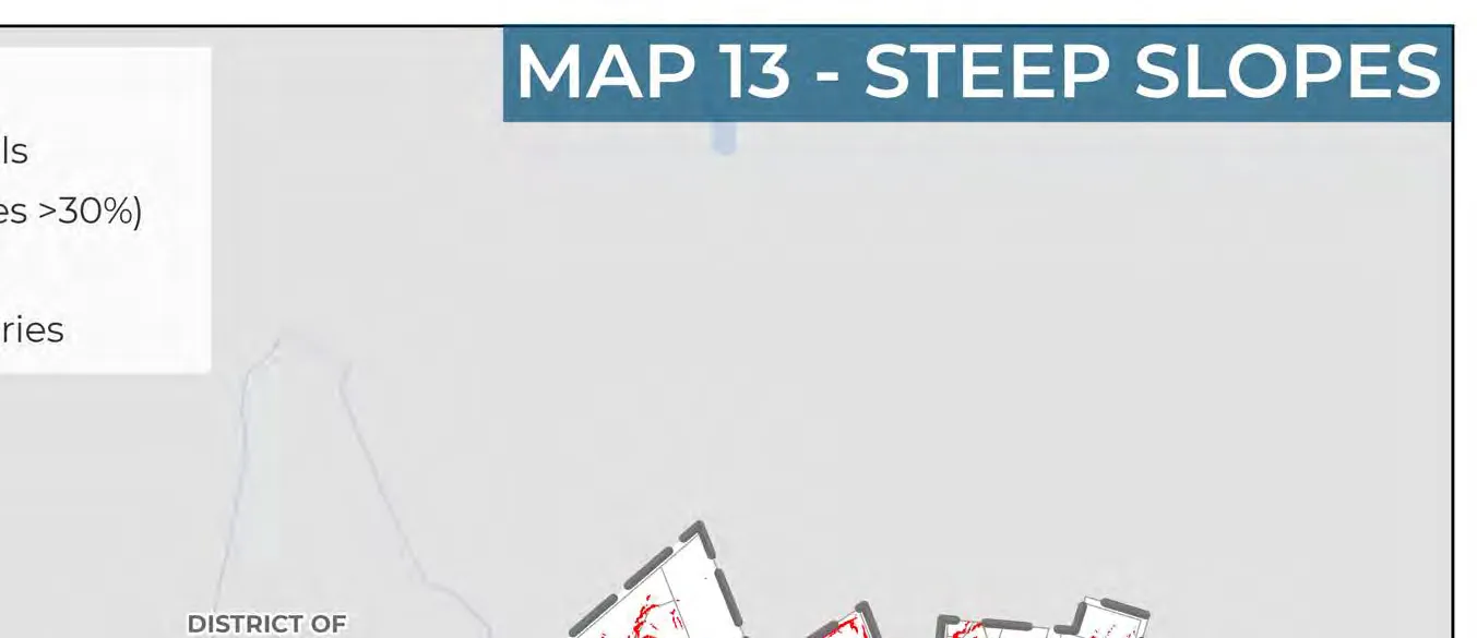
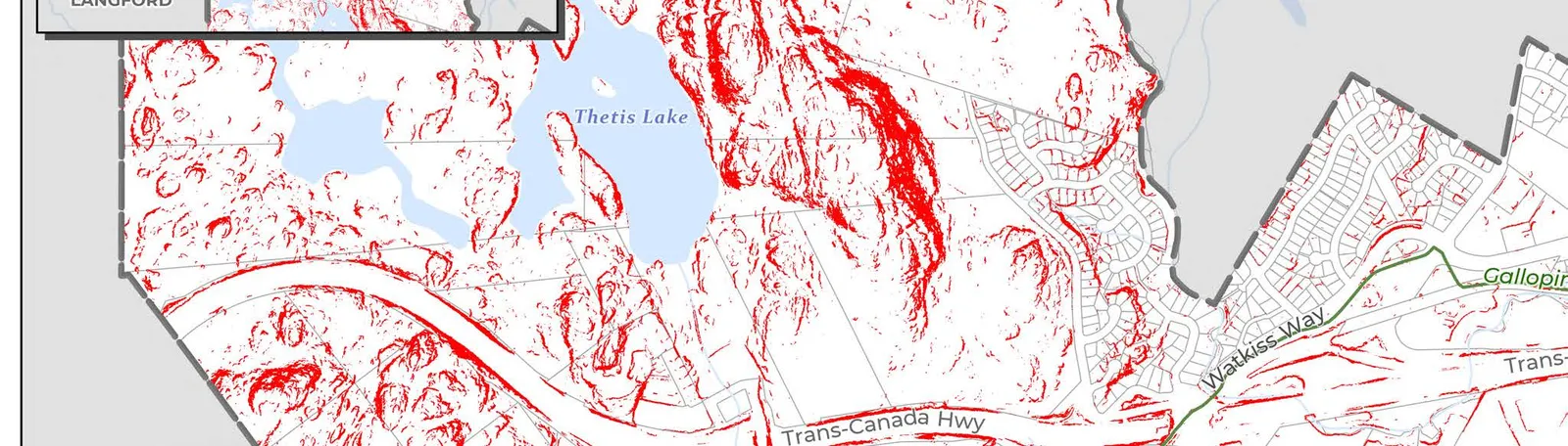
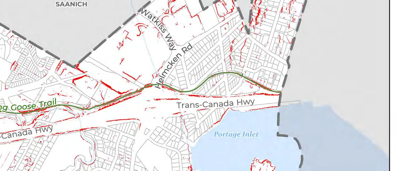
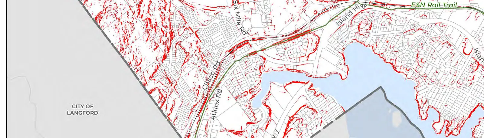
- Map 13: Steep Slopes (129)
- Map 14: Tsunami Hazard Zones (130)
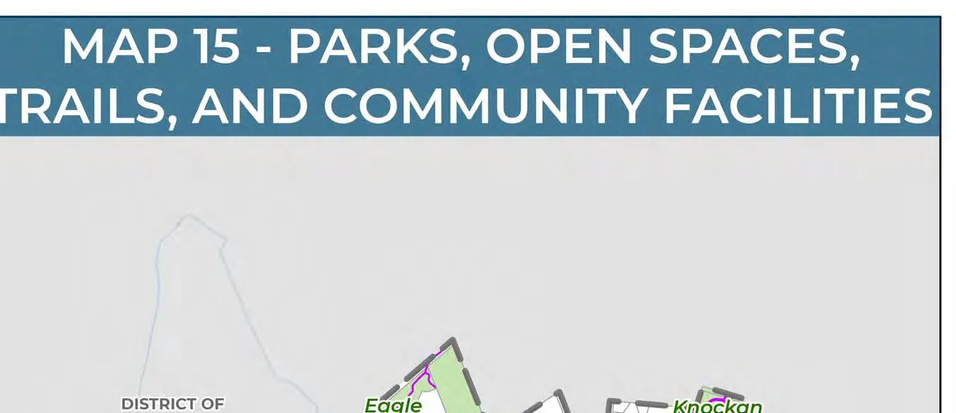
- Map 15: Parks, Open Spaces, Trails, and Community Facilities (142)
Part One: The Plan Context
- 1.0 Plan Overview (2)
- 2.0 View Royal 2050 (14)
- 3.0 Reconciliation (19)
- 4.0 Context of View Royal (22)
1.0 Plan Overview
1.1 WHAT IS AN OCP?
This Official Community Plan (OCP) titled, View Royal 2050: Our Future View, represents the Town’s vision and goals for the coming decades. It is a comprehensive, long-term policy document that sets out the key policy direction for how the community will grow and respond to key opportunities for the community. The OCP provides direction for land use decisions and addresses the provision of community services and amenities. This plan ensures that future changes and growth align with the community’s values and priorities, supporting a sustainable and vibrant View Royal for generations to come.
Typically, all local government master plans, policies, and bylaws are updated following the adoption of a new OCP to ensure consistency in policy direction across documents. This consistency allows for ease of decision-making by Town Council and Staff, in addition to priority setting during annual strategic planning and budgeting cycles.
The OCP is intended to serve as a living document, updated every 5 years to remain relevant as the community evolves and grows, in addition to amendments from time-to-time. View Royal’s last comprehensive OCP review and update occurred in 2011 and much has changed globally, regionally, and locally since then. This OCP addresses the context of View Royal in the years 2025 and 2026.
OCP Legislative Hierarchy Diagram:
- Provincial Legislation -> Regional Growth Strategy -> Official Community Plan
- The Official Community Plan interacts with the Strategic Plan, Master Plans/Other Plans and Strategies, and Financial Plan.
- The Official Community Plan informs the Zoning Bylaw and Other Bylaws and Policies.
LEGISLATIVE REQUIREMENTS
Local governments in British Columbia are granted the authority to adopt an OCP under the Local Government Act. This legislation outlines what must be discussed in an OCP, along with other items that a local government may choose to include. It also outlines requirements for public and interest holder consultation, such as provincial agencies, school districts, and Indigenous communities.
In November 2023, the provincial government released legislation requiring municipalities to review and update their OCPs and zoning bylaws by December 31, 2025, following the development of an Interim Housing Needs Report. An additional update is required by December 31, 2028 and every five years thereafter. The new legislation requires that municipalities update their OCPs to accommodate anticipated housing needs, as identified in the Housing Needs Reports, to identify the 5- and 20-year housing need projected for the community over the next 20 years.
REGIONAL PLANNING FRAMEWORK
As a member municipality within the Capital Regional District, View Royal’s OCP must be consistent with the Regional Growth Strategy per requirements outlined in the Local Government Act. Conformity to the Regional Growth Strategy is discussed in greater detail in section 16.0 Regional Context Statement.
The Capital Regional District’s Regional Growth Strategy sets the vision for the Capital Region’s future. It guides decisions on regional issues related to transportation, population growth, and the environment, amongst others. It was adopted in 2018.
1.2 HOW WE GOT HERE
A SUMMARY OF THE PROCESS The Official Community Plan update is being carried out in three phases, each phase focusing on specific content in the document. The work completed between January 2025 and the summer of 2026 focused on the completion of the first two phases, with the third phase scheduled for completion in 2027.
- PHASE 1: Vision, Land Use, Housing, & Special Planning Areas (Jan 2025 to Dec 2025)
- PHASE 2: General Policies, Regional Context Statement, & Action/Implementation Strategy (Oct 2025 to Jul 2026)
- PHASE 3: Development Permit Areas & Guidelines (TBD 2026 to 2027)
Phase 1 (January 2025 to December 2025) The first phase focused on establishing a new vision for the Official Community Plan, a foundational element of the document that provides a forward thinking target for where the community envisions it will be in the future. This vision statement is supported by 12 new goals, which act as guiding principles for decision-making.
This phase also required that the Town align its 2024 Interim Housing Needs Report with the Official Community Plan by December 31, 2025, a date established through provincial legislation. The alignment required that the land use map be updated to provide capacity to meet the anticipated 20-year housing need, and to establish housing policies that addressed each of the six housing needs in the community.
Phase 2 (October 2025 to July 2026) The second phase shifted focus to a review of the nine policy chapters in the Official Community Plan. Each policy chapter is built on a series of objectives, which outline the overall purpose of the policies. The policies inform decision making processes in the Town which aid in development and planning processes, operations, budgeting, and additional plan and policy development.
To support each of the policy chapters, actions were created to clearly identify what is required to achieve desired outcomes, the timing, and which municipal department is responsible.
This phase also required a review and update of the Regional Context Statement, to ensure alignment with the Regional Growth Strategy.
Phase 3 (Fall 2026 to 2027) The final phase will focus on updating Form and Character and Environmental Development Permit Areas and guidelines. In addition, this phase will also consider the opportunity to develop new Development Permit Areas, including hazard areas prone to wildfire and flooding.
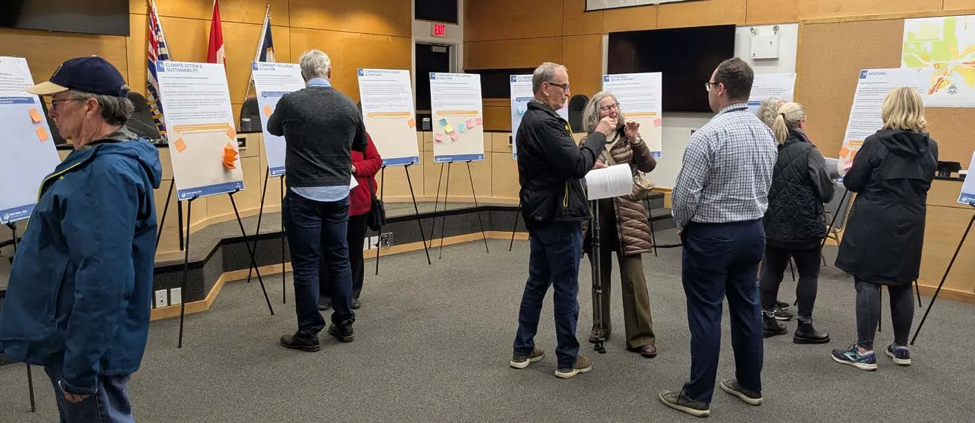
A SUMMARY OF ENGAGEMENT The update of the Official Community Plan has provided multiple engagement touchpoints to inform updates to the Plan. The phased approach outlined above has supported a comprehensive process that balances technical analysis with community feedback to shape a vision, goals, and policies that reflect the needs and aspirations of View Royal residents.
Throughout the process, Council, the Committee of the Whole, and the Town’s Official Community Plan Review Advisory Committee have provided input and perspectives on key issues related to the OCP update. Together, they have participated at key milestones by reviewing draft materials, sharing community insights, and providing feedback on engagement activities, and emerging policy directions.
Official Community Plan Review Advisory Committee: A group of community members appointed by Council to assist with the review and provide feedback on draft content and engagement material.
ENGAGEMENT STATISTICS
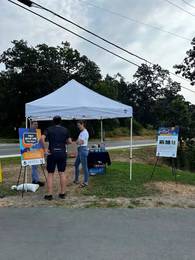
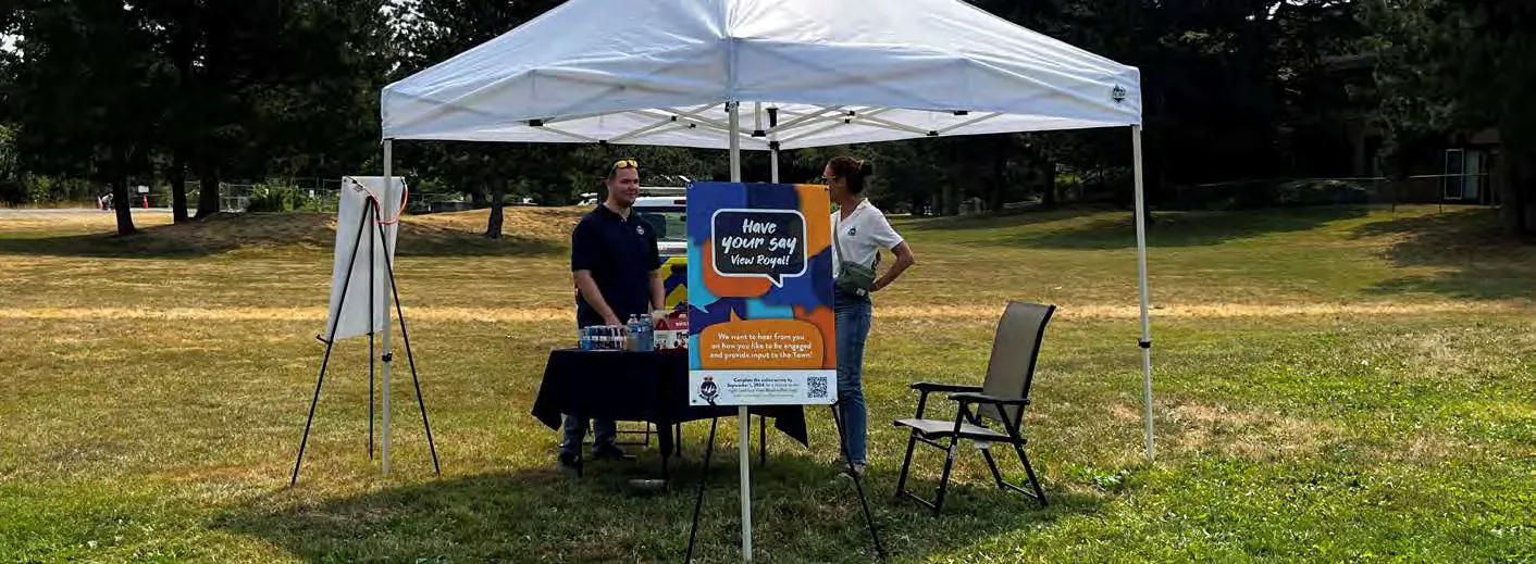
- 8 Pop-up events
- 6 Open houses
- 6 Workshops
- 493 Survey responses
- 86 Youth survey responses
- 54 Map comments
- 577 Video views
- 6 OCP Advisory Committee Meetings
- Project website: engage.viewroyal.ca
- 2,720 Unique visitors
- 5,117 Views
- 154 People on the mailing list
- 159 Social media posts
- 5 Stakeholder emails
- 11 Subscriber email campaigns
- 13 Presentations to Council / Committee of the Whole
Across these engagement touchpoints, residents participated through surveys, open houses, workshops, pop ups, and stakeholder meetings. Feedback from each phase was summarized in What We Heard Reports and shared with Council and the OCP Advisory Committee to help inform the evolving draft, which is a reflection of the cumulative input received through each stage of engagement.
The draft OCP reflects five rounds of community engagement, each focused on a different component of the Plan.
ENGAGEMENT AT A GLANCE
2025
- January 13: OCP Advisory Committee Meeting #1
- January 24: View Royal 2050 website launch
- January 24 – February 18: Vision and Guiding Principles Survey
- February 5, 8, 10, 13: Vision and Guiding Principles Pop-ups
- February 21 – 28: Youth Vision Survey
- February 24: OCP Advisory Committee Meeting #2
- March 6: OCP Business Mixer Workshop
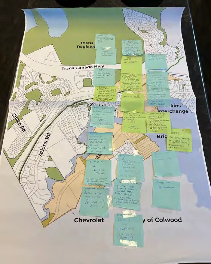
- March 7 – April 4: Community Growth Survey and Social Mapping Activity
- March 26, 28: Community Growth Engagement Pop-ups
- March 8: Community Growth Open House and Workshop
- March 12: Community Growth Open House
- March 13: Community Growth Virtual Workshops (2)
- May 5: OCP Advisory Committee Meeting #3
- June 2: OCP Advisory Committee Meeting #4
- July 18 – September 7: Vision and Goals Survey
- August 20: Vision and Goals Pop-up
- August 25: OCP Advisory Committee Meeting #5
- October 7 – November 12: Western Gateway Community Corridor Survey
- October 18: Western Gateway Community Corridor Open House and Workshop
- October 21: Western Gateway Corridor Focus Group: Business & Land Owner Workshop
- October 22: Western Gateway Community Corridor Open House
- November 3: OCP Advisory Committee Meeting #6
- November 8 – November 30: Policy Review Survey
- November 8, 13: Policy Review Open Houses
2026
- February 24: Special Council Meeting on the Western Gateway Corridor
ENGAGEMENT TOUCHPOINT #1: VISION AND GUIDING PRINCIPLES (JANUARY - FEBRUARY 2025)
Participants were asked to provide input on the future vision of View Royal. Feedback was collected through an online survey and pop-ups.
Key Takeaways:
- 2 surveys
- 1 workshop
- 4 pop-up events
- Participants identified the following foundation values for their future community: protecting parks and natural areas; maintaining safe and walkable neighbourhoods; improving transportation options; and supporting diverse and affordable housing.
Who Participated:
- 130 survey participants
- 86 youth survey participants
- 36 workshop participants
- 158 pop-up event participants
How People Heard:
- 1,158 Engage View Royal project website visits
- 9 Facebook posts, 2 Instagram posts, and 6 Bluesky posts
- 250 stakeholder emails
- 30 posters
- 1 View Royal e-newsletter
- 1 newspaper ad
- 1 View Royal News Release
- 1 project video
- 4 pop-up events
ENGAGEMENT TOUCHPOINT #2: HOW WE GROW ENGAGEMENT (MARCH – APRIL 2025)
Participants were asked to provide feedback on how and where the community may grow and change over the next 20 years. Participants were asked to consider the Town’s existing growth areas and corridors, and provide feedback on potential opportunities for additional housing, services, employment space, and amenities.
Key Takeaways:
- 1 survey
- 1 online mapping activity
- 2 pop-up events
- 2 virtual community workshops
- 1 open house
- Participants indicated overall support for an increase in residential height and density and mixed-use development in both existing growth areas and along corridors in the community.
Who Participated:
- 176 survey responses
- 54 social map responses
- 42 open-house participants
- 11 virtual workshop participants
- 16 pop-up event participants
How People Heard:
- 930 Engage View Royal project website visits
- 19 Facebook posts, 19 Instagram posts, and 19 Bluesky posts
- 250 stakeholder emails
- 17 posters
- 2 View Royal e-newsletters
- 1 newspaper ad
- 4 View Royal News Releases
- 2 pop-up events
ENGAGEMENT TOUCHPOINT #3: VISION SURVEY (JULY - SEPTEMBER 2025)
Participants were asked to provide feedback on three draft vision statements and 11 community goals, developed from earlier feedback.
Key Takeaways:
- 1 survey
- 1 pop-up event
- Participants preferred vision statement that focused on the community’s relationship with nature and green space, and the need to be forward thinking as a community leader to ensure action is taken on environmental stewardship, climate action, affordable housing, and economic development.
Who Participated:
- 85 survey responses
- 16 pop-up event participants
How People Heard:
- 886 Engage View Royal project website visits
- 11 Facebook posts, 11 Instagram posts, and 8 Bluesky posts
- 250 stakeholder emails
- 17 posters
- 1 View Royal e-newsletter
- 1 pop-up event
ENGAGEMENT TOUCHPOINT #4: WESTERN GATEWAY COMMUNITY CORRIDOR (OCTOBER - NOVEMBER 2025)
The Western Gateway Corridor was identified as a key growth area with opportunities for new housing, businesses, services and employment space. Participants were asked to provide feedback on the three growth scenarios for the Western Gateway Corridor, including low, medium, or high potential development scenarios.
Key Takeaways:
- 1 survey
- 2 workshops
- 2 open-houses
- Participants preferred a medium growth scenario that focused on the development of the Western Gateway south of Parson’s Bridge as a commercial and light industrial area, and the area north of Parson’s Bridge as a mixed-use neighbourhood village. Feedback provided through engagement informed a proposed land use scenario for the Corridor area.
Who Participated:
- 59 survey responses
- 11 workshop participants
- 7 focus group business workshop participants
- 43 open house participants
How People Heard:
- 668 Engage View Royal project website visits
- 9 Facebook posts, 9 Instagram posts, and 7 Bluesky posts
- 250 stakeholder emails
- 10 posters
- 2 View Royal e-newsletters
- 1 newspaper ad
- 1 View Royal News Releases
- 1 newspaper ad
- 50 hand delivered notices to residents
- 50 (approximately) notices to businesses
ENGAGEMENT TOUCHPOINT #5: POLICY REVIEW ENGAGEMENT (NOVEMBER 2025)
Participants were asked to provide feedback on draft policies from each of the policy chapters in the draft Plan. This gave participants an early snapshot of draft content. Early feedback helped shape and further revise new draft policies on major topic areas, such as housing, transportation and mobility, economic development, parks and recreation, environment, climate action, and infrastructure.
Key Takeaways:
- 1 survey
- 2 open house events
- The survey respondents indicated that they support the draft policies overall. However, there are some policies that respondents provided mixed feedback on, indicating that further review and revisions could be required if desired.
- Participants identified the challenges with traffic congestion, the need to provide more diverse and accessible employment opportunities and services in the community, and more affordable housing. The preservation and enhancement of the Town’s parks and natural spaces is also important to the community.
Who Participated:
- 43 survey responses
- 16 open house participants
1.2.1 HOW PEOPLE HEARD:
- 579 Engage View Royal project website visits
- 11 Facebook posts, 11 Instagram posts, and 8 Bluesky posts
- 250 stakeholder emails
- 1 View Royal e-newsletters
- 1 newspaper ad
- 1 View Royal News Releases
- 2 newspaper ads
ENGAGEMENT TOUCHPOINT #6: FIRST DRAFT REVIEW (MARCH TO APRIL 2026)
Participants have been invited to participate in a final round of engagement prior to consideration of the adoption of the Official Community Plan bylaw.
- This section to be completed following engagement.
1.3 HOW TO USE THIS OCP
The primary objective of this OCP is to establish a clear framework for decision-making that guides View Royal Council and Staff, residents, partners, agencies, developers, and other interest holders in the Town. All sections are interconnected and considered through the lens of the document’s vision statement and twelve goals, which are referenced in section 2.0 View Royal 2050. When evaluating concepts within the OCP and determining how policies apply to specific developments, projects, or decisions, it is crucial to acknowledge the broad scope of the document and how the initiative would be considered holistically across all policy areas of the OCP.
Navigating the OCP requires consideration of its five parts, descriptions for which are provided below.
Part One: The Plan Context
The Plan Context encompasses introductory elements of the plan, including what an OCP is, presentation of the community’s vision and goals for the year 2050, discussion on the Town’s commitment to ongoing reconciliation with the Songhees and Xʷsepsəm Nations, and providing context on the community related to its geography, traits, and community statistics, along with context on regional trends that were factors considered at the time of writing this plan.
Part Two: Land Use
This section outlines how View Royal will develop over time and how land may be used. A number of land use designations are identified that apply to different areas of the community, each with their own set of guidance related to the overarching intent of the designation and permitted heights and densities. This section also includes general policies for growth and development that will be reviewed as part of the development approvals process.
Part Three: Policies
The policy section provides high-level direction across areas within the scope of a local government. These policies cover a diverse range of topics, including Housing, Transportation and Mobility, Community Infrastructure and Services, Economic Development, the Natural Environment, Climate Action and Sustainability, Parks, Trails, and Recreation, Community Well-Being and Culture, and Reconciliation.
Part Four: Implementation
This section describes how the Town may transform the policy direction outlined in Parts Two and Three into concrete actions. Actions are categorized into one of three timeframes for implementation (short-, medium-, and long-term) with relevant policies and implementing parties referenced. This section also includes the Regional Context Statement, which explains how the OCP aligns with the Capital Regional District’s Regional Growth Strategy.
Part Five: Development Permit Areas
This section includes the Town’s two Development Permit Areas that aim to protect essential environmental features and reduce any risks to public safety deriving from natural hazards.
2.0 View Royal 2050
2.1 OVERVIEW
The OCP’s vision and goals are intended to guide the community to the year 2050. The policy direction of this plan stems from these key guiding statements. The vision and goals were informed by input received from the community as part of engagement undertaken in 2024 and 2025.
2.2 VISION
The following statement outlines the Town’s aspirations to the year 2050 and beyond:
View Royal is a thriving, welcoming, inclusive community where people live close to nature, services, and amenities that foster health and well-being.
2.3 GOALS
1. MOBILITY & CONNECTIVITY
Goal: Provide a variety of transportation options within a well-connected network to support mobilizing all ages and abilities.
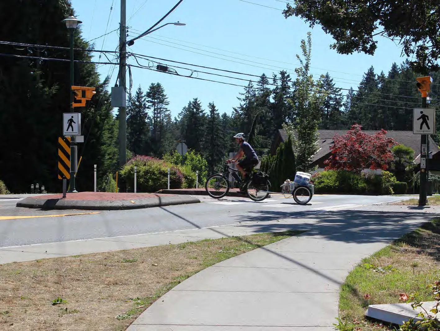
While private vehicles are still the primary method of travel, the Town continues to strive towards the creation of an improved transportation network. Developing a well-connected regional network will ensure that residents are able to get where they need to go via different modes: walking, cycling, rolling, transit, and vehicular use. The Town will work closely with the Capital Regional District and nearby municipalities to address ongoing traffic challenges and streamline local and regional connections.
2. DIVERSE AND AFFORDABLE HOUSING
Goal: Provide diverse, attainable, and affordable housing types and tenures for all residents.
Encouraging the development of a wide range of market and non-market housing options will ensure existing and future residents can continue to call the Town home. Emphasis will be placed on housing that supports aging-in-place, multi-generational households, and the creation of more rental and home ownership opportunities. Where possible, these options will be within close proximity to everyday services and amenities.
What is affordable and attainable housing? What constitutes ‘affordable’ is directly tied to a household’s gross annual income. Households who spend less than 30% of their income on housing are deemed to have ‘affordable’ housing. Attainable housing considers what a household needs in terms of size and type of housing, as well as what level of housing costs may be appropriate for a household given the cost of living in a community.
3. GROWTH MANAGEMENT & COMMUNITY CHARACTER PRESERVATION
Goal: Allow for thoughtful, fiscally responsible growth and development throughout the community that complements View Royal’s existing character.
As a desirable community to live in, View Royal must balance opportunities for growth and the need for infrastructure services while ensuring the character of the community is considered to complement or inspire new development. Natural amenities comprise much of the Town’s existing character these attributes are highly valued by the community. New development will give consideration to these amenities to ensure they can be appreciated by existing and new residents alike.
4. NATURAL AMENITIES
Goal: Preserve, protect, and expand the Town’s natural assets and amenities.
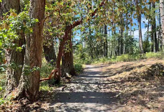
Parks, trails, and green space are regularly identified as some of the greatest benefits of living in the Town. Ensuring the coastal and forested landscapes are preserved and protected for the enjoyment of current and future generations is a community priority. These efforts will include ensuring a balanced approach to growth and adopting strong climate change adaptation and mitigation strategies.
Natural amenities are place-based attributes created by the environment that provide local benefits. Examples of natural amenities may be parks where community members can hike, lakes where kayaking can be enjoyed, trees that clean the air, and creeks that support with managing drainage.
5. COMMUNITY WELL-BEING
Goal: Enhance community well-being by providing safe, inclusive, and accessible spaces, while integrating arts and culture into everyday life.
Community well-being is achieved when every member feels safe, included, and has access to essential services and opportunities. It means embracing diversity and ensuring that all voices are heard and valued, creating a sense of belonging for everyone. Integrating arts and culture enriches our community by celebrating creativity and heritage, fostering a vibrant and dynamic environment that brings people together and enhances the quality of life for all.
6. COMMUNITY SAFETY & SECURITY
Goal: Foster a safe and secure community that is prepared for emergencies.
Community safety and security is achieved when people feel that their needs and quality of life are a priority. It means working collaboratively to better understand what community safety and security means to View Royal residents and business owners. Preparing and responding to health and climate emergencies, such as pandemics, climate disasters, earthquakes, etc., will strengthen the community over the long-term.
7. CLIMATE ACTION AND RESILIENCE
Goal: Undertake climate adaptation and mitigation initiatives to support the community’s resiliency.
As a forested coastal town, View Royal is particularly vulnerable to wildfires, coastal storms, flooding, and sea level rise attributable to the changing climate. In response, the Town is taking initiative to become a low carbon community, reduce its greenhouse gas emissions, and adopt climate adaptation and mitigation strategies to continue maintaining a high quality of life for everyone.
Greenhouse gas emissions, commonly known as GHGs, are gases released by human activities such as the burning of fossil fuels. These gases trap heat in the atmosphere and impact the global climate.
8. ECONOMIC DEVELOPMENT
Goal: Identify and incentivize opportunities for tourism and mixed-use and non-residential development to support local and regional economic priorities.
Encouraging non-residential growth through development incentivization and policy amendments will support View Royal’s economy and further develop employment lands, including the Western Gateway Employment District Corridor and Transit-Oriented Development areas. By attracting investment and business into the Town, this additional economic activity will support local demand for shops, restaurants, and services within walking distance of neighbourhoods and create more opportunities for regional economic growth in adjacent communities. In addition, many opportunities exist to expand and enhance tourism in View Royal due to its central location within the Capital Regional District.
9. RECONCILIATION
Goal: Build strong relationships with the Xʷsepsəm and Songhees Nations to collaborate on key priorities and decision-making, and continue to advance the Town’s reconciliation efforts.
View Royal is located on the traditional, ancestral, and unceded territories of the lək̓ʷəŋən speaking peoples. To support community interest in advancing reconciliation efforts, the Town will continue to build a relationship with the Xʷsepsəm and Songhees’ peoples. Emphasis will be placed on facilitating increased collaboration, celebrating values and culture, and fostering synergies between these communities to better understand where alignment exists on core values.
Reconciliation is the ongoing process of establishing and maintaining mutually respectful relationships between Indigenous and non-Indigenous peoples.
10. COMMUNITY INPUT AND GOVERNANCE
Goal: Ensure View Royal community members are meaningfully involved in the advancement of community goals and priorities.
As View Royal grows and evolves, the Town will continue to seek feedback and input from the community. Through good governance, community leaders will steward decision-making processes and ensure they remain transparent.
11. REGIONAL PARTNERSHIPS
Goal: Continue to strengthen the Town’s relationships with partners and stakeholders, including member municipalities, on regional matters.
View Royal is a gateway community bordering seven jurisdictions within the Capital Regional District. Maintaining strong relationships with these local governments and First Nation communities is important to ensure alignment on regional priorities, such as the enhancement of regional transportation management and connectivity.
12. SUSTAINABLE SERVICE DELIVERY AND ASSET MANAGEMENT
Goal: Maintain and manage the full lifecycle costs of the Town’s assets to ensure the long-term provision of sustainable service delivery to meet the needs of the community.
The Town provides a wide range of services in the form of physical and natural assets (e.g. roads, culverts, parks). Recognizing the importance of ensuring a high level of service for future generations, emphasis will be placed on sustainable service delivery through the careful balancing of cost, level of service, resources, and risk considerations to achieve an equitable and fiscally responsible approach to asset management.
Asset management is an integrated approach to planning, operating, and maintaining physical infrastructure and amenities, such as roads, sewer systems, and treatment facilities, amongst others.
3.0 Reconciliation
3.1 CONTEXT
In 2007, the United Nations passed the United Nations Declaration on the Rights of Indigenous Peoples (UNDRIP), a legally non-binding resolution. In 2015, Canada’s Truth and Reconciliation Commission (TRC) released 94 Calls to Action. Five actions specifically call upon municipal governments to take action:
- Action 43: fully adopt and implement UNDRIP as the framework for reconciliation;
- Action 47: repudiate concepts used to justify European sovereignty;
- Action 57: provide education to public servants on the history of Aboriginal Peoples and intercultural competency skills-based training;
- Action 75: develop and implement strategies and procedures for the ongoing identification, documentation, maintenance, commemoration, and protection of residential school cemeteries or other sites at which residential school children were buried; and
- Action 77: work collaboratively with the National Centre for Truth and Reconciliation to identify and collect copies of all records relevant to the history and legacy of the residential school system.
The United Nations Declaration on the Rights of Indigenous Peoples, commonly referred to as UNDRIP, was adopted in 2007 as a tool to support the rights of Indigenous peoples. It provides guidance on matters related to self-determination, culture, and land rights, and serves as a framework for reconciliation within Canada. The Province of British Columbia aims to endorse UNDRIP through its Declaration on the Rights of Indigenous Peoples Act.
In 2019, the Province of British Columbia enacted the Declaration on the Rights of Indigenous People Act (DRIPA), becoming the first jurisdiction in Canada to formally adopt the internationally recognized standards. The Declaration Act provides the framework for reconciliation in British Columbia, focusing on four themes:
- the right to self-determination;
- the right to be recognized as distinct Peoples;
- the right to free, prior, and informed consent; and
- the right to be free from discrimination.
The journey of Truth and Reconciliation for municipalities in relation to the United Nations Declaration on the Rights of Indigenous Peoples adoption and implementation begins after foundational groundwork has been established. View Royal is committed to integrating a reconciliation-centric approach to current and future planning initiatives, as evident in the policy direction threaded throughout this OCP, and particularly in section 14.0 which aims to establish a joint vision for reconciliation. The Town aims to take concrete and meaningful actions towards reconciliation, beginning with incremental trust-building measures. View Royal is committed to creating opportunities to collaborate with the Xʷsepsəm and Songhees Nations to ensure municipal planning is grounded in the history, land stewardship, and enduring presence of the lək̓ʷəŋən Peoples. The recognition of the Xʷsepsəm and Songhees Nations remains central to View Royal’s planning for both the present and the future.
3.2 SONGHEES NATION TODAY
Songhees Nation are a lək̓ʷəŋən People with a longstanding and ongoing presence in the region. The Nation has approximately 690 members, with over half living on the Songhees Reserve located immediately adjacent to the Town of View Royal and Xʷsepsəm First Nation. The community is approximately 60 hectares and is developed with a mix of residential and commercial areas.
The Songhees community is comprised of five main families and several smaller families descended from the lək̓ʷəŋən speaking signatories of the Douglas Treaties in 1850. Traditional governance is by consensus among extended family heads, guided by their families. Today, the community is still guided by consensus among families represented by advisory committees, focus groups and an elected Chief and Council. Referendums and ratification votes are held for important Community decisions.
The Nation’s mission, vision, and values are significant, serving as a reflection of the relationship that View Royal seeks to establish and its intent to encapsulate the core principles upheld by the Nation.
- The Nation’s mission is: Songhees Nation strives to achieve community vision through good governance, delivering programs and pursuing projects and initiatives for the benefit of the Songhees People.
- The Nation’s vision is: A healthy, self-reliant, progressive community that honours tradition and culture and invests in future generations.
- The Nation’s Values are: With One Heart and One Mind, we commit to help one another, to forgive one another and to love one another with respect, honesty and courage.
3.3 XʷSEPSƏM NATION TODAY
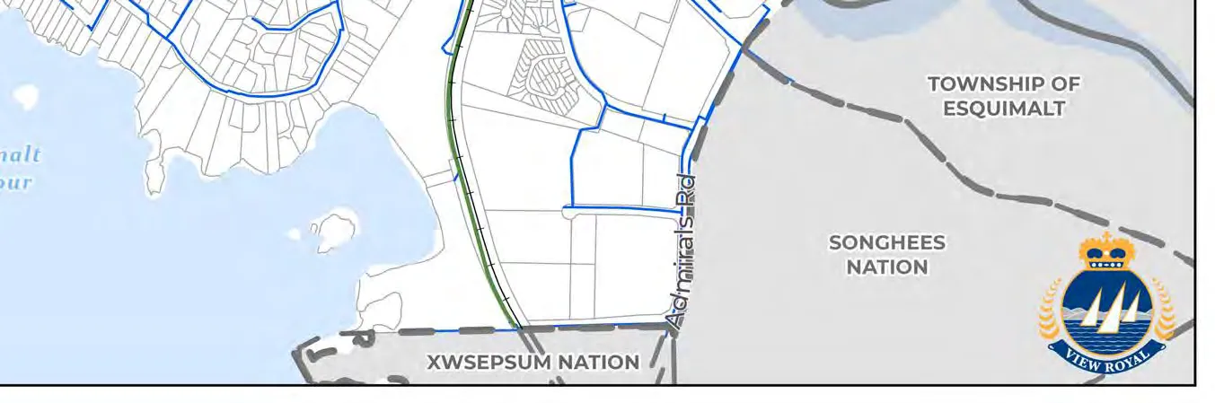
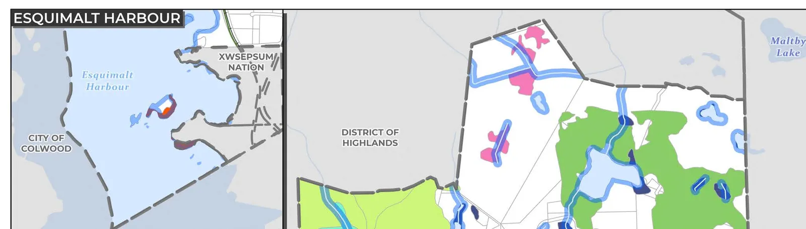
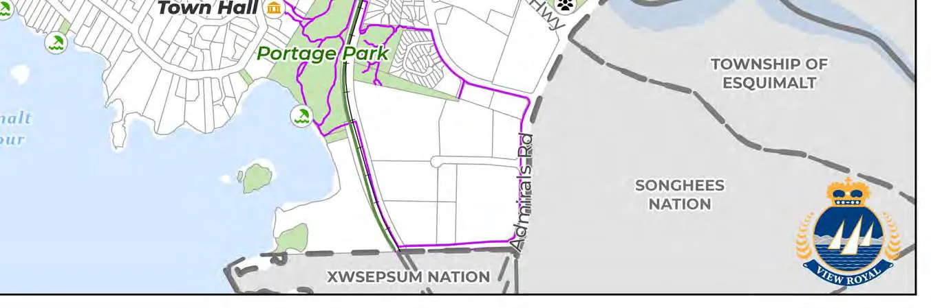
Xʷsepsəm Nation, also spelled Xwsepsum, is a nation located on the waters of Esquimalt Harbour, immediately adjacent to the Songhees Nation and Town of View Royal. The Nation has approximately 385 members who are descendants of the lək̓ʷəŋən People, with close to half living in the main community on the Esquimalt reserve.
The Nation’s connection with the land and resources of its large territory goes back thousands of years. In that time, Xʷsepsəm Nation have learned to live in a finely balanced relationship with the seasons, the lands, the tides, and the seasons of their lives that have sustained them. Xʷsepsəm has repaid the land through their commitment to stewardship and through ceremonies which are understood as their Sacred Trust. The Sacred Trust has been transmitted through oral teachings, usually contained in the stories of the Nation, and they articulate a set of Natural Laws. The Sacred Trust determines the relationships between the land, water, and resources, the Community and the Spiritual Path.
Xʷsepsəm Nation’s mission statement is rooted in a desire for promoting the importance of traditional teaching and values, and importantly for View Royal, a desire of the Nation to work with their partners for beneficial goals. It is important that the Town cultivates a respectful and meaningful partnership with Xʷsepsəm Nation through its commitment to reconciliation.
The Nation’s mission is:
Our mission is to build a legacy for present and future generations of Esquimalt Nation members by ensuring our work is rooted in the teachings and natural laws that flow from the Sacred Trust. We will promote and advance holistic health, self-sufficiency and safety of Esquimalt Nation members by offering meaningful programs and services, and working with our partners for mutually beneficial goals.
4.0 Context of View Royal
4.1 PHYSICAL SETTING
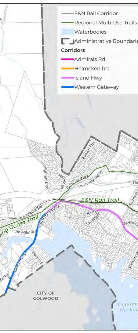
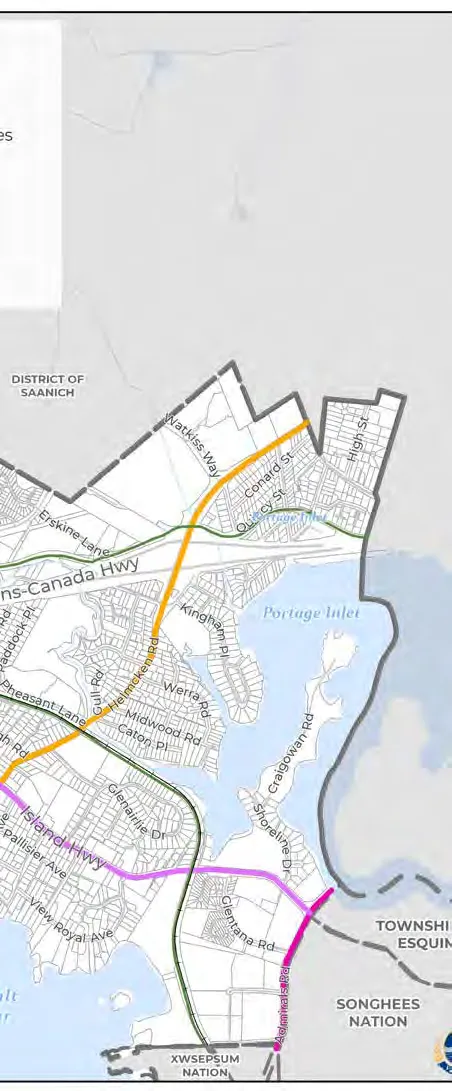
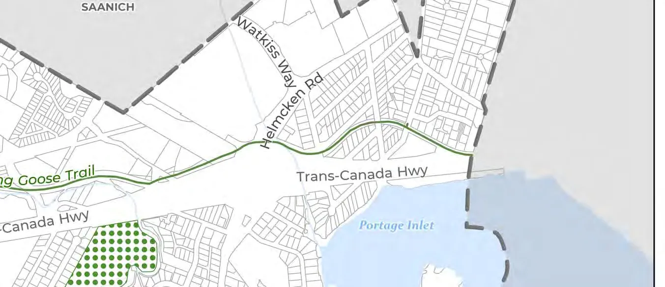
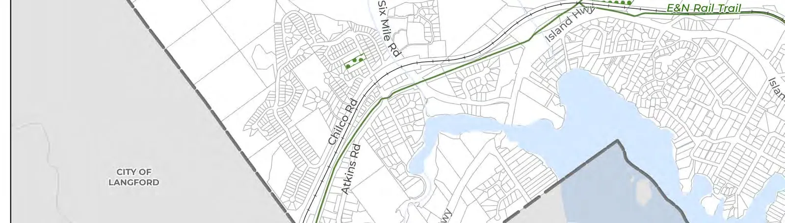
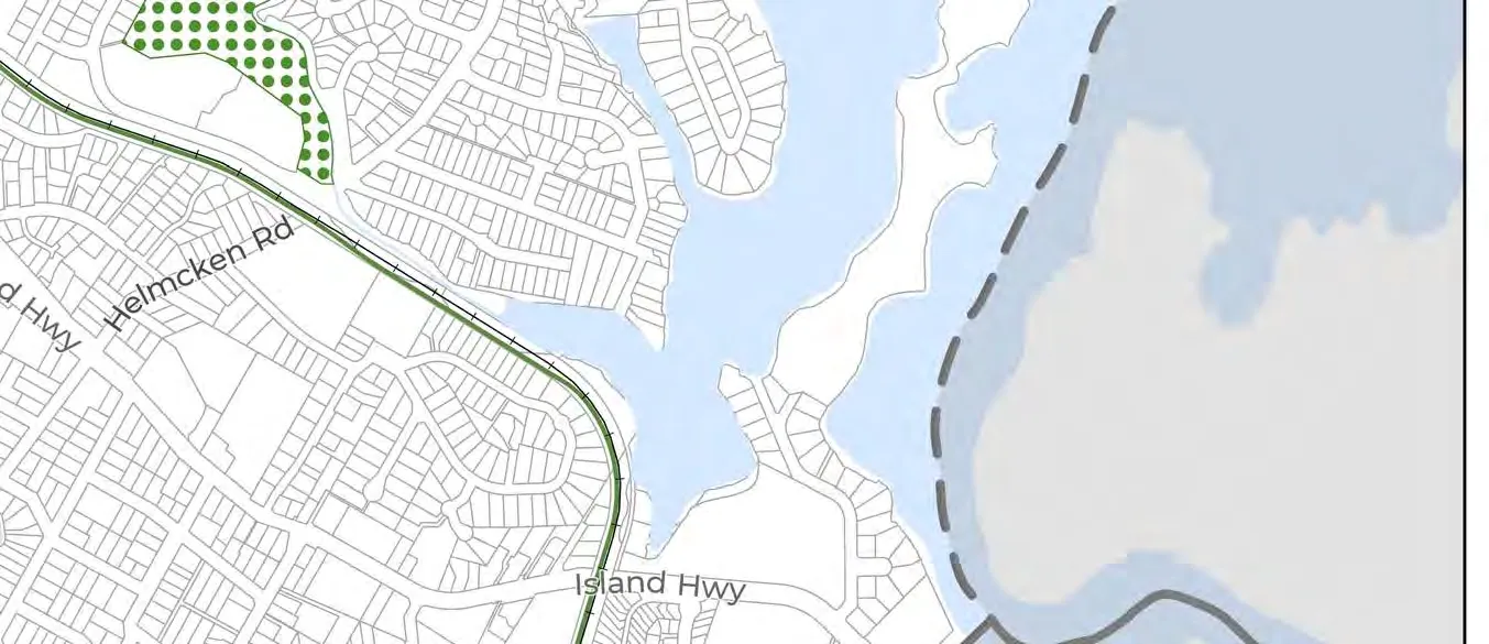
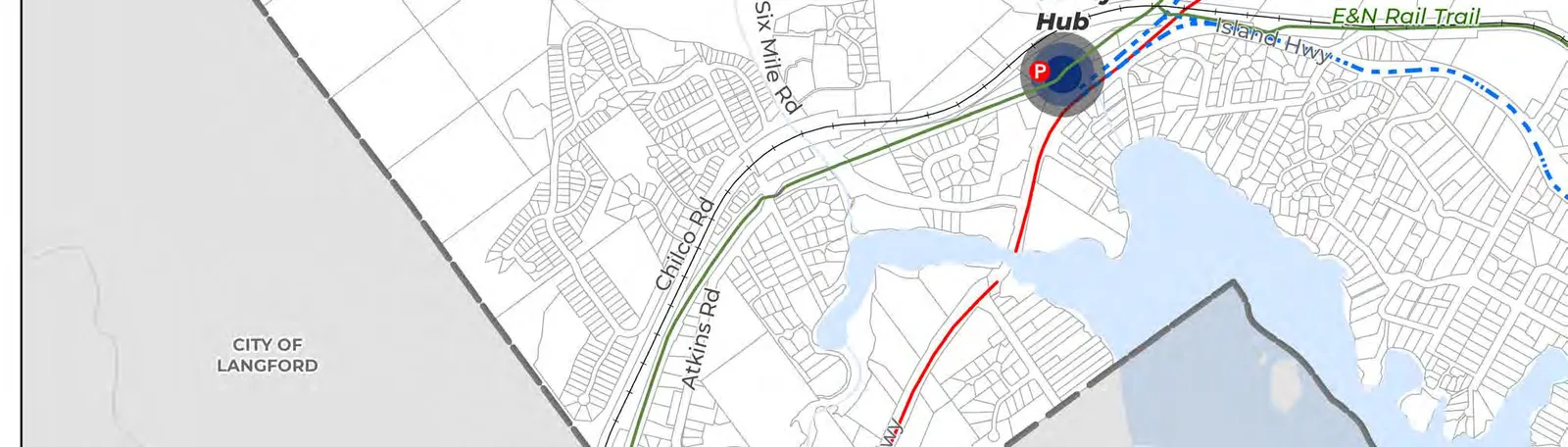
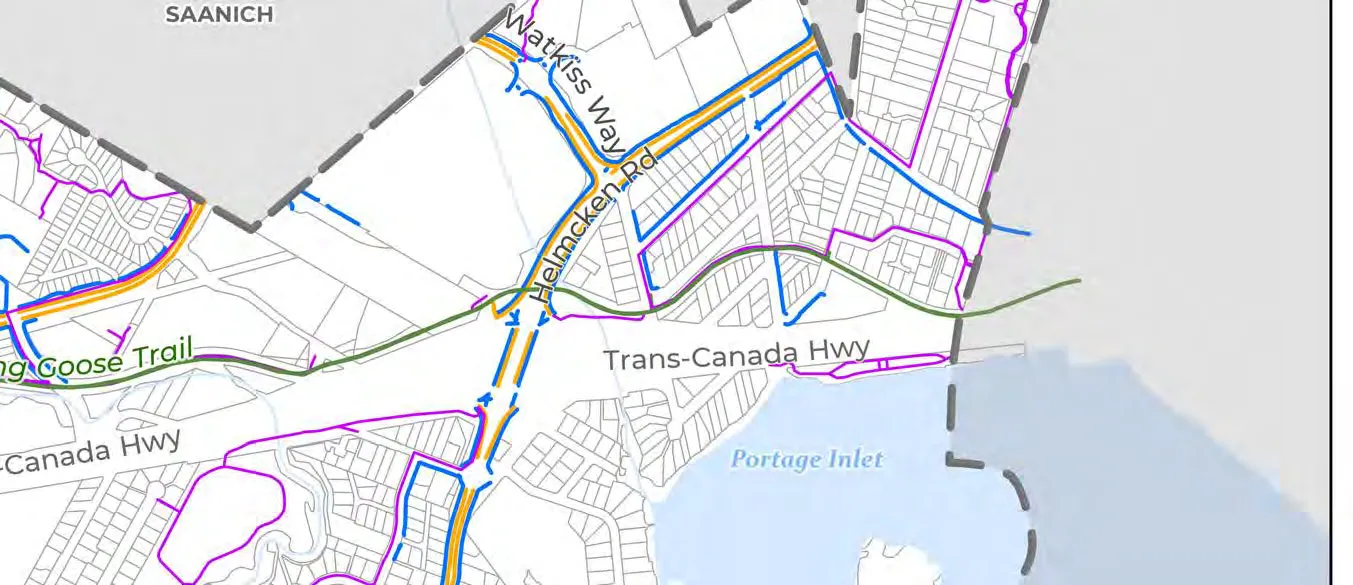
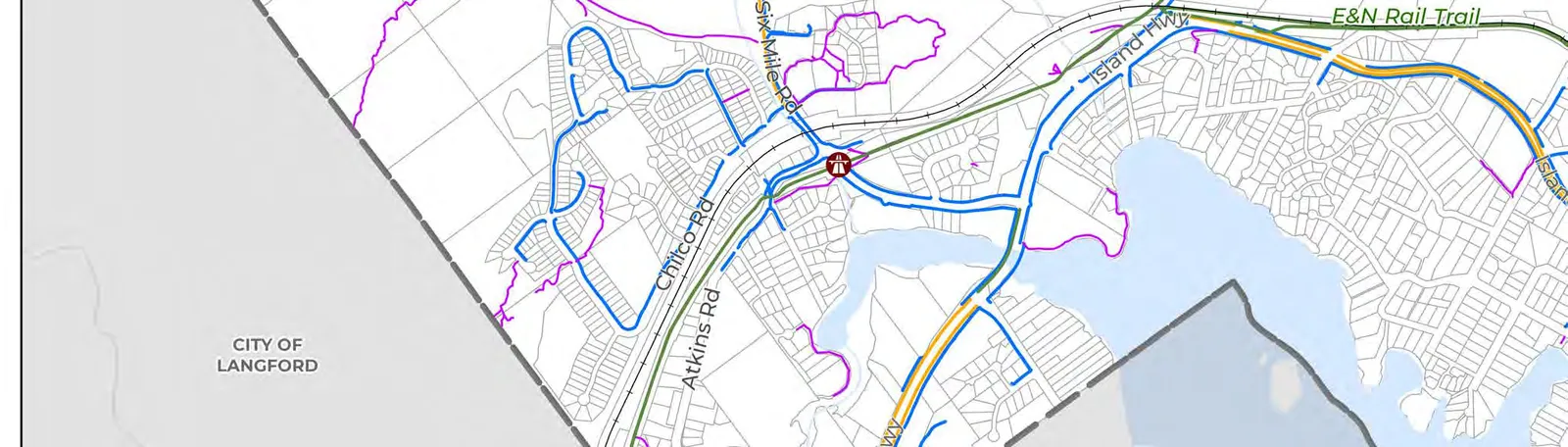
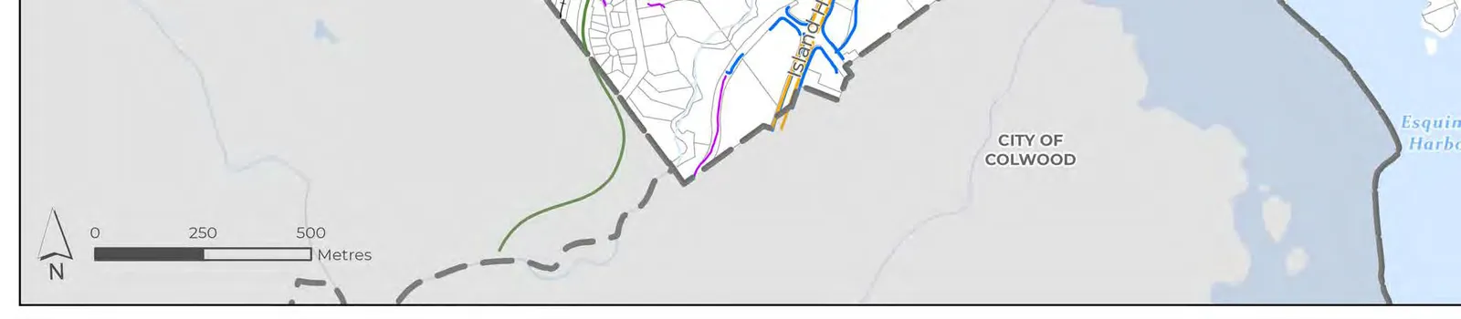
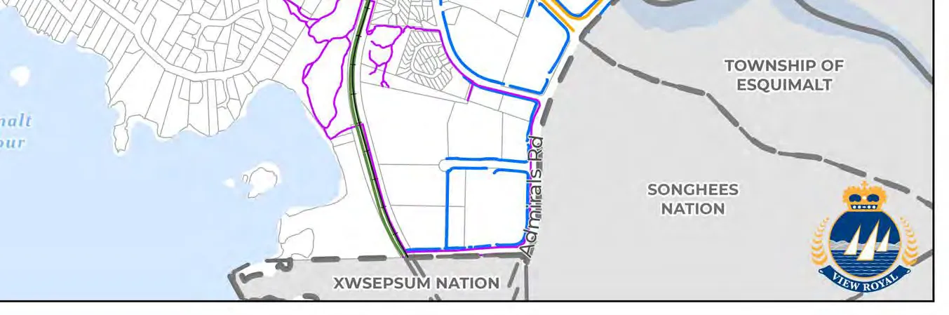
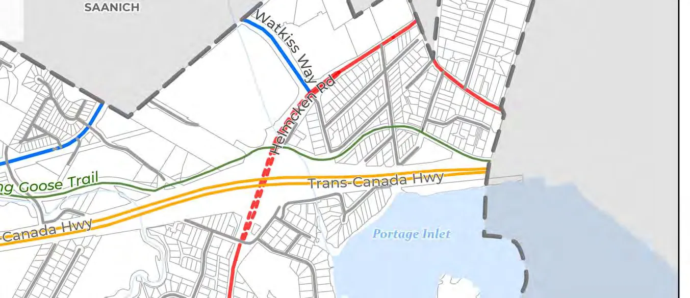
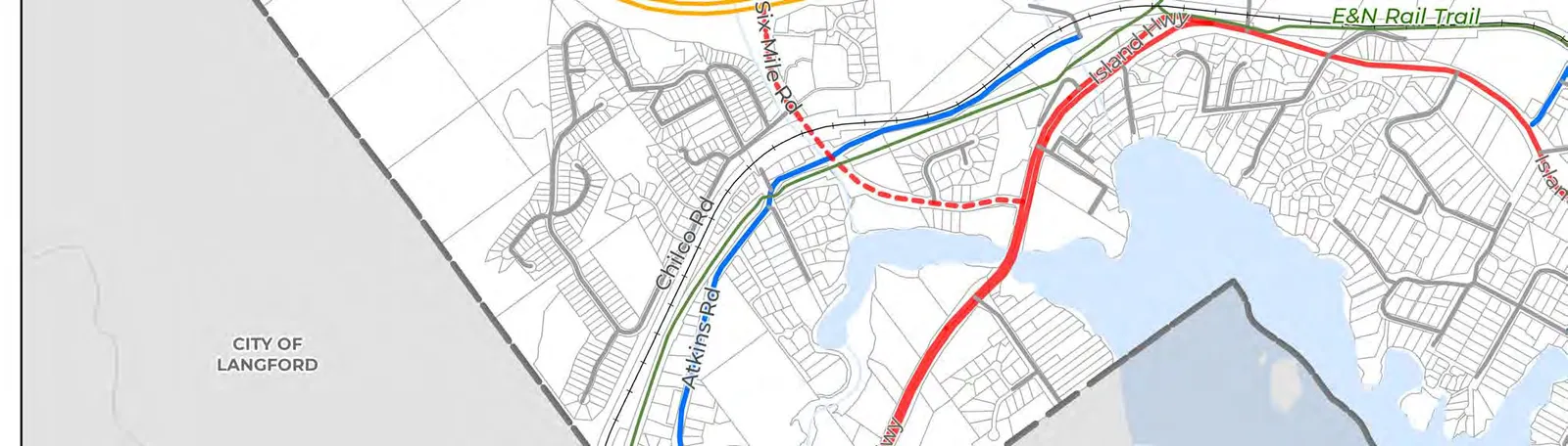
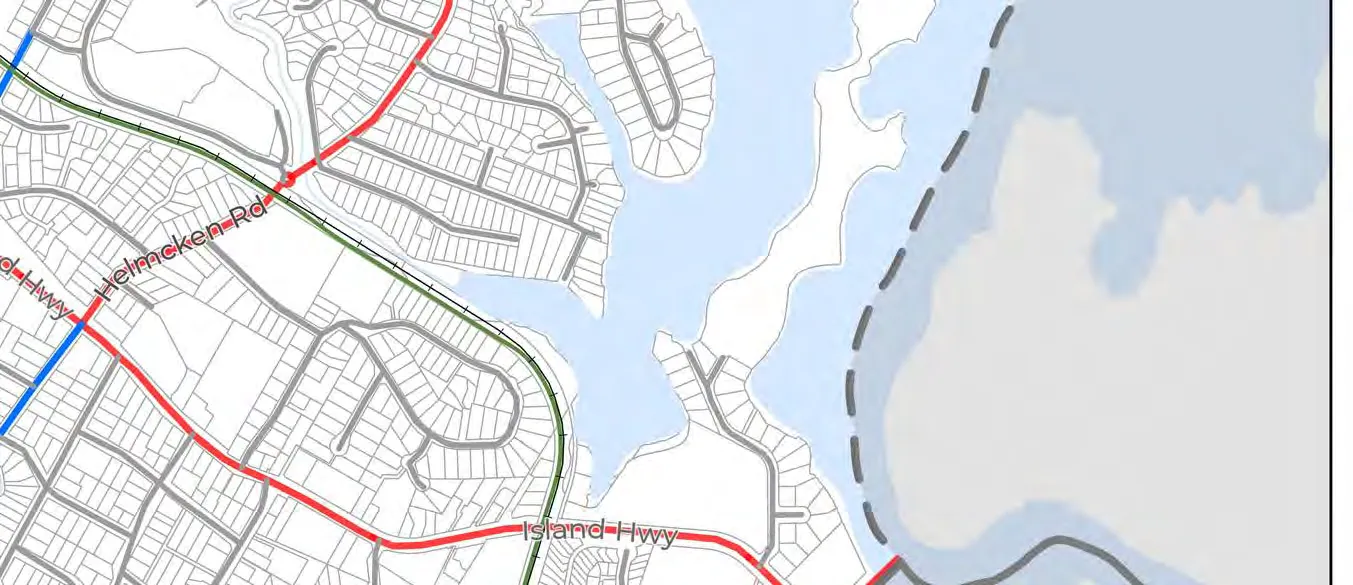
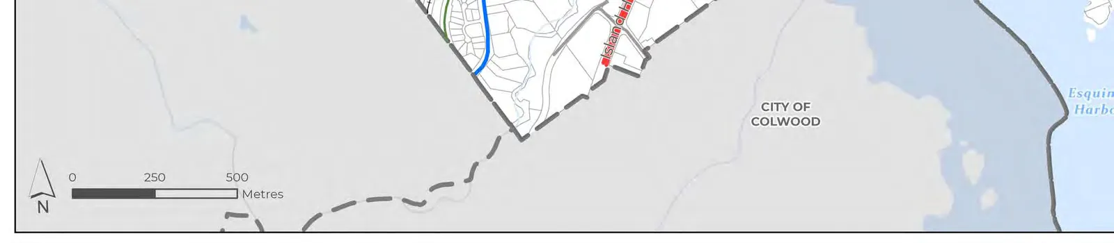
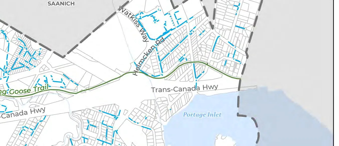
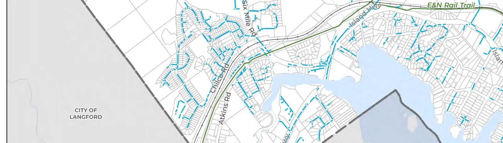
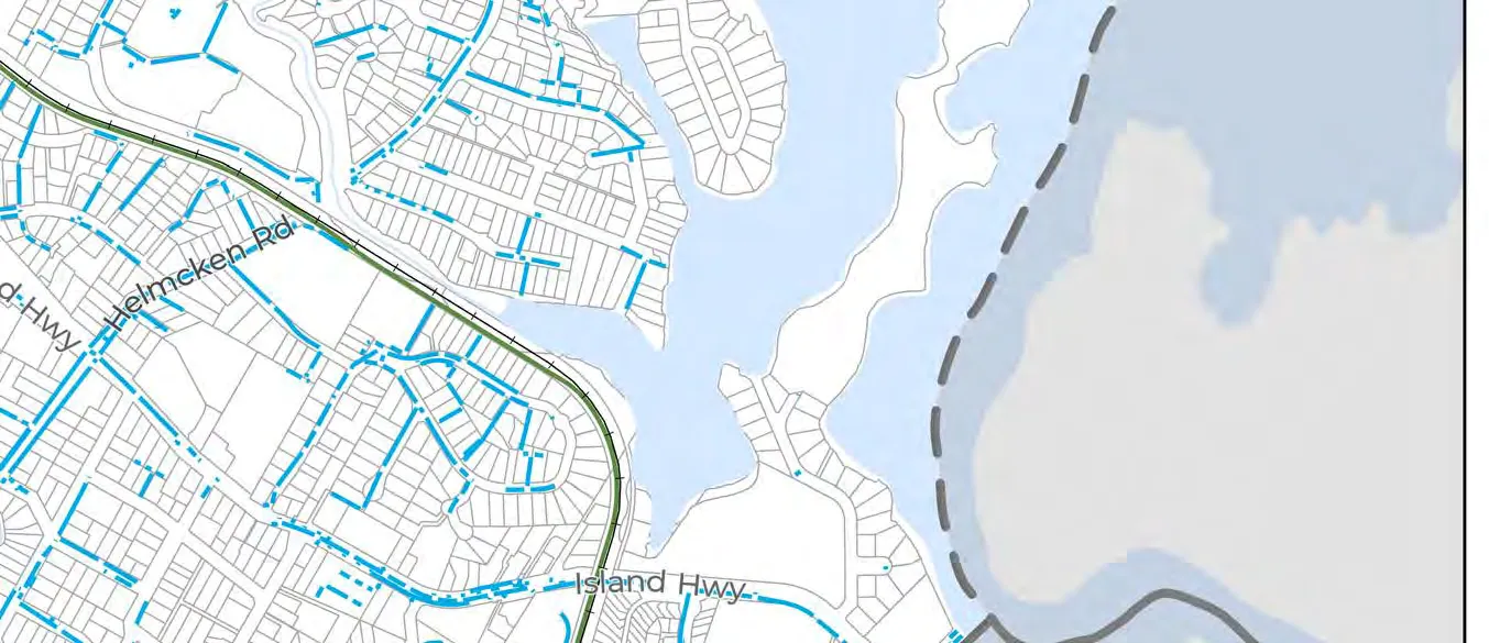
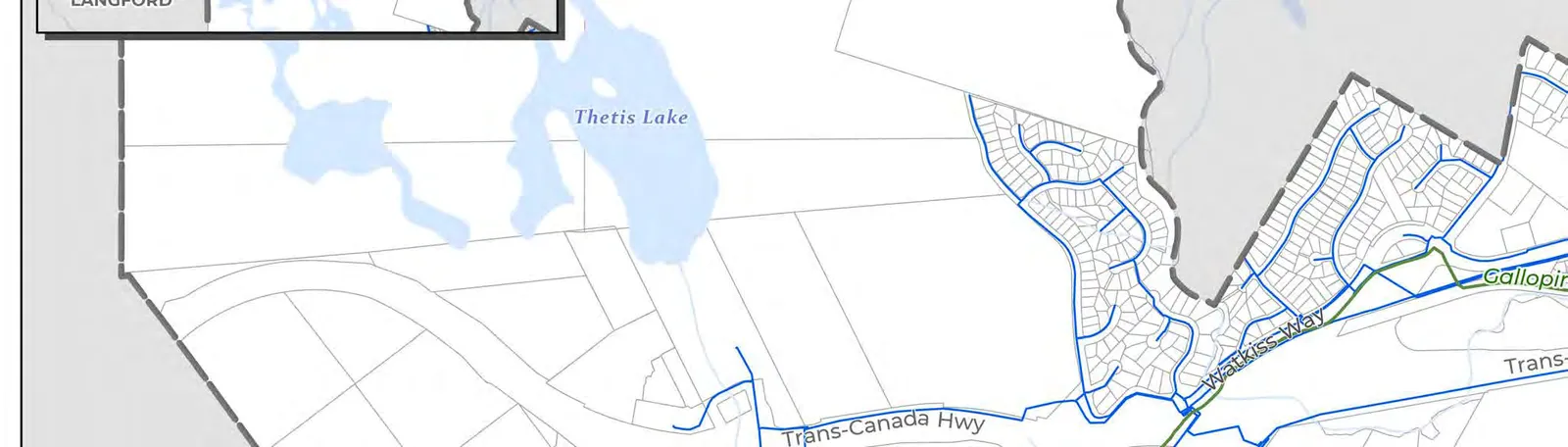
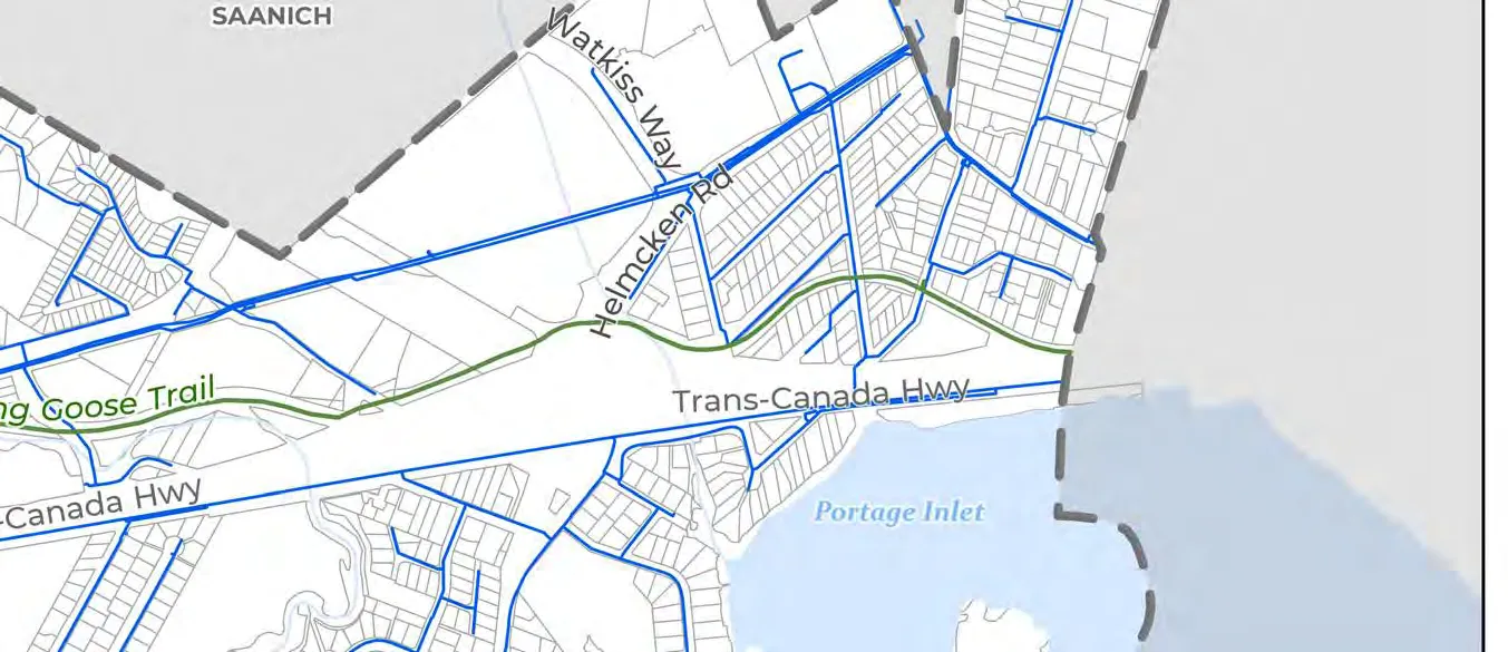
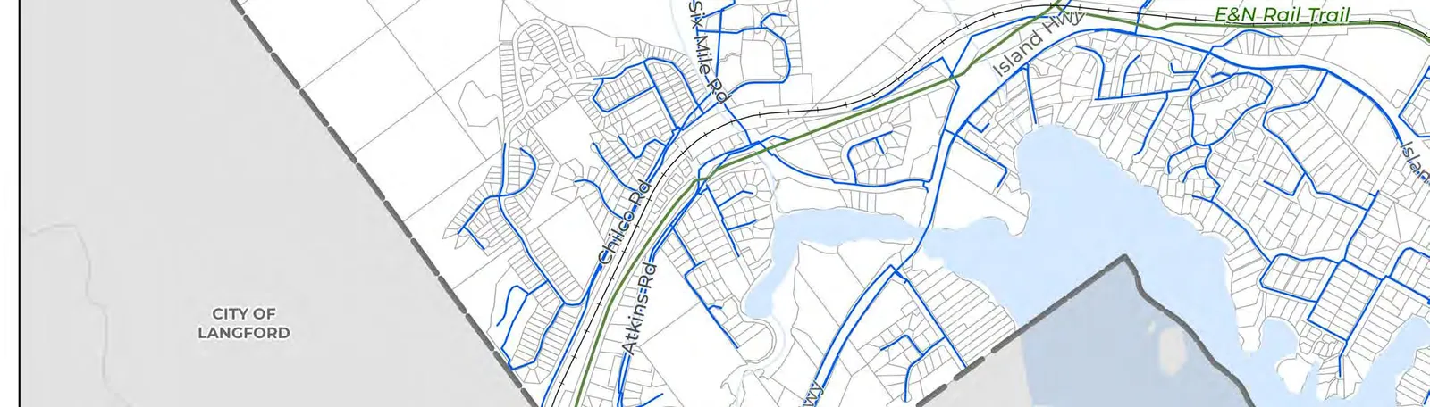
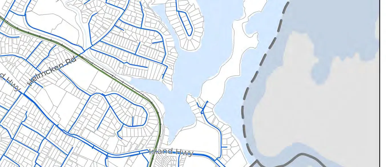
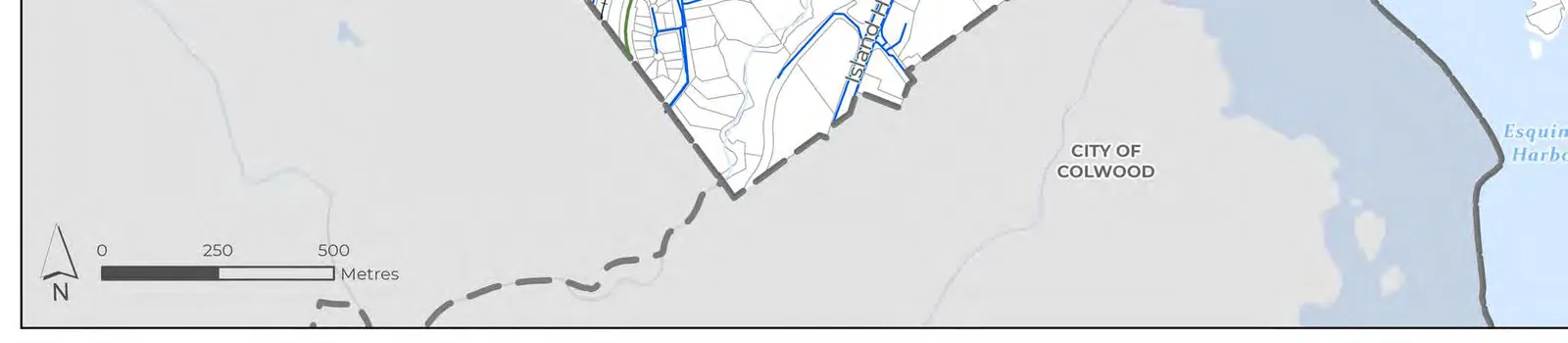
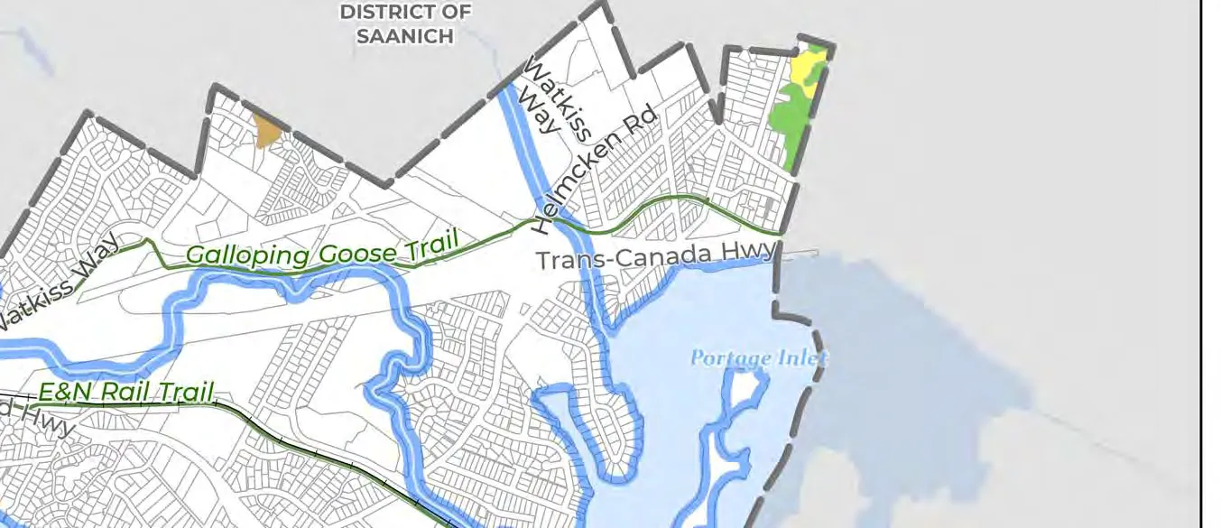
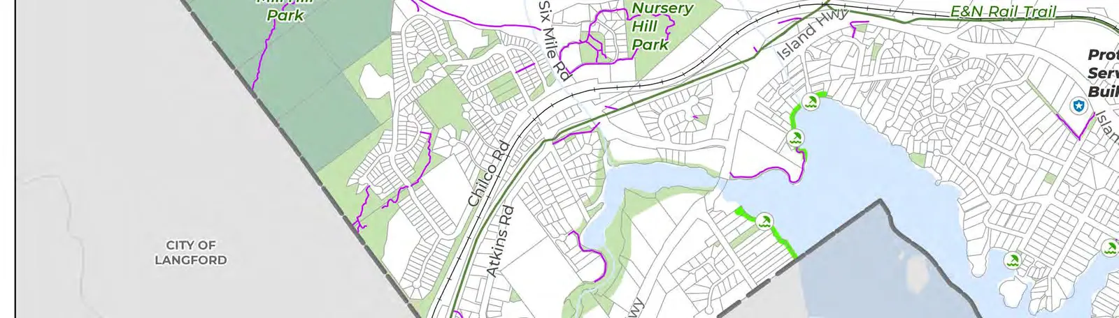
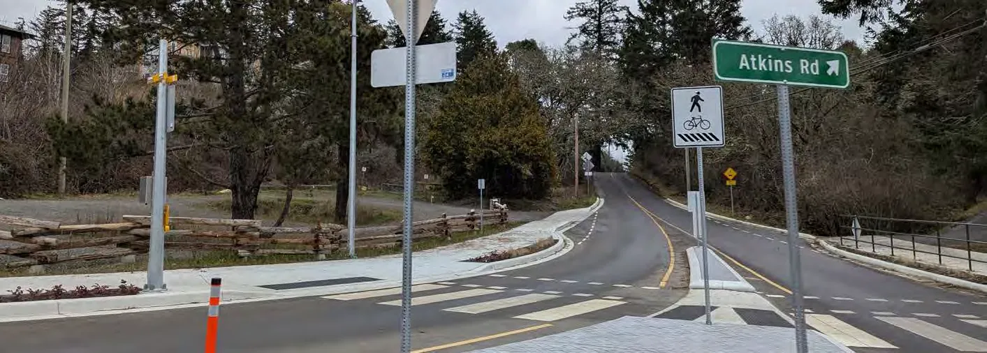
View Royal is located on Southern Vancouver Island in the Capital Regional District. It is situated between the West Shore – comprising Sooke, Metchosin, Colwood, Highlands, and Langford – and the region’s core area, comprising Victoria, Esquimalt, Xʷsepsəm Nation, Songhees Nation, Oak Bay, and Saanich. Its geographic location and major transportation corridors such as the Trans-Canada Highway, regional Island Highway, and regional trails (Galloping Goose and E&N Trail) allow the community to function as a transitional area and an integral connection between the West Shore and the core areas of Greater Victoria. While View Royal’s location presents various opportunities for the community’s future growth and development, its location also poses local and regional challenges.
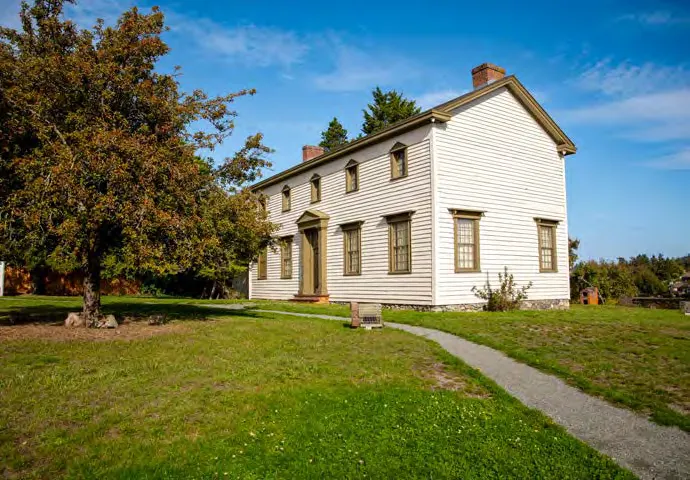
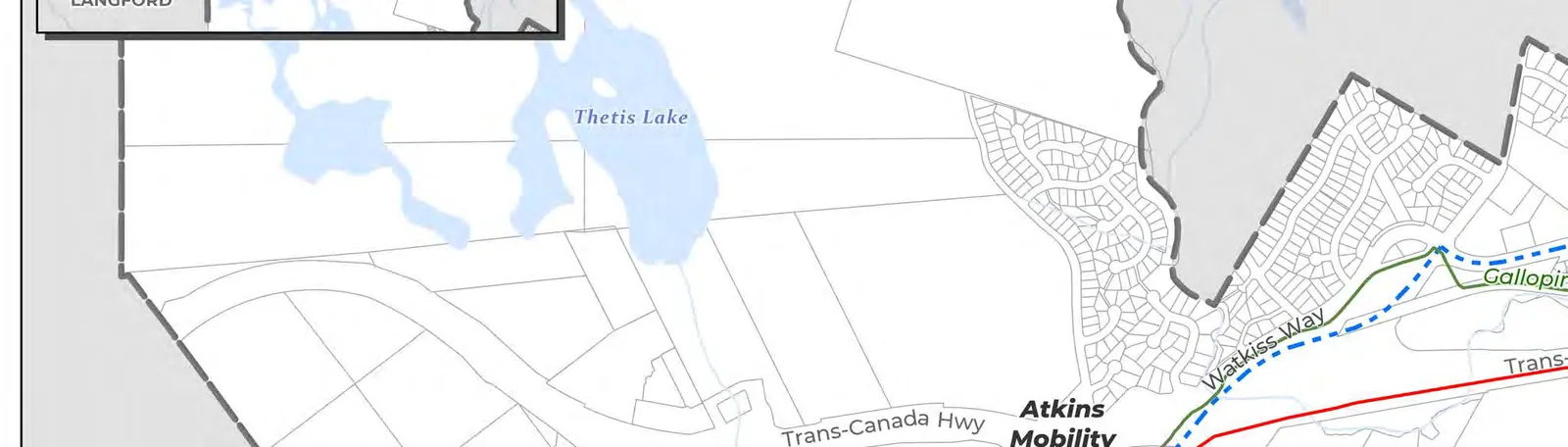
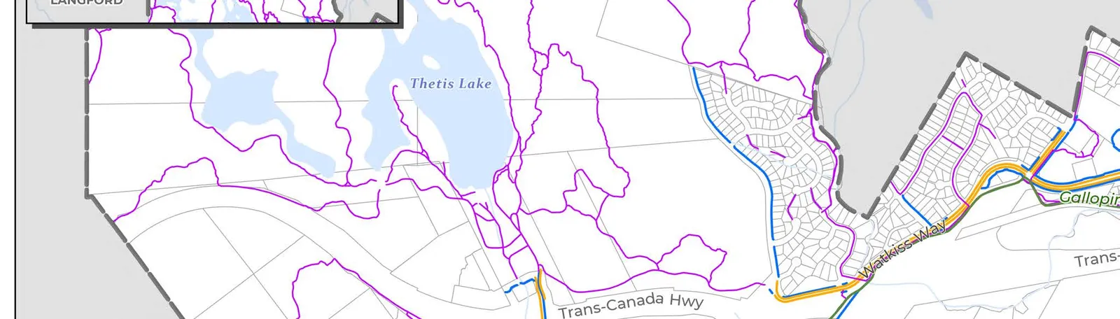
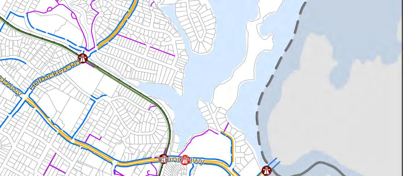
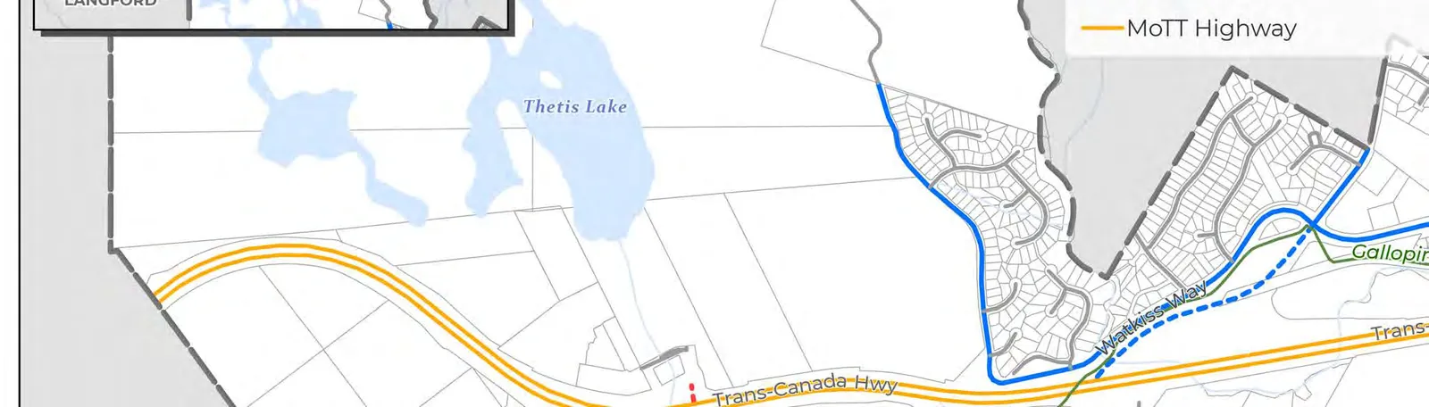
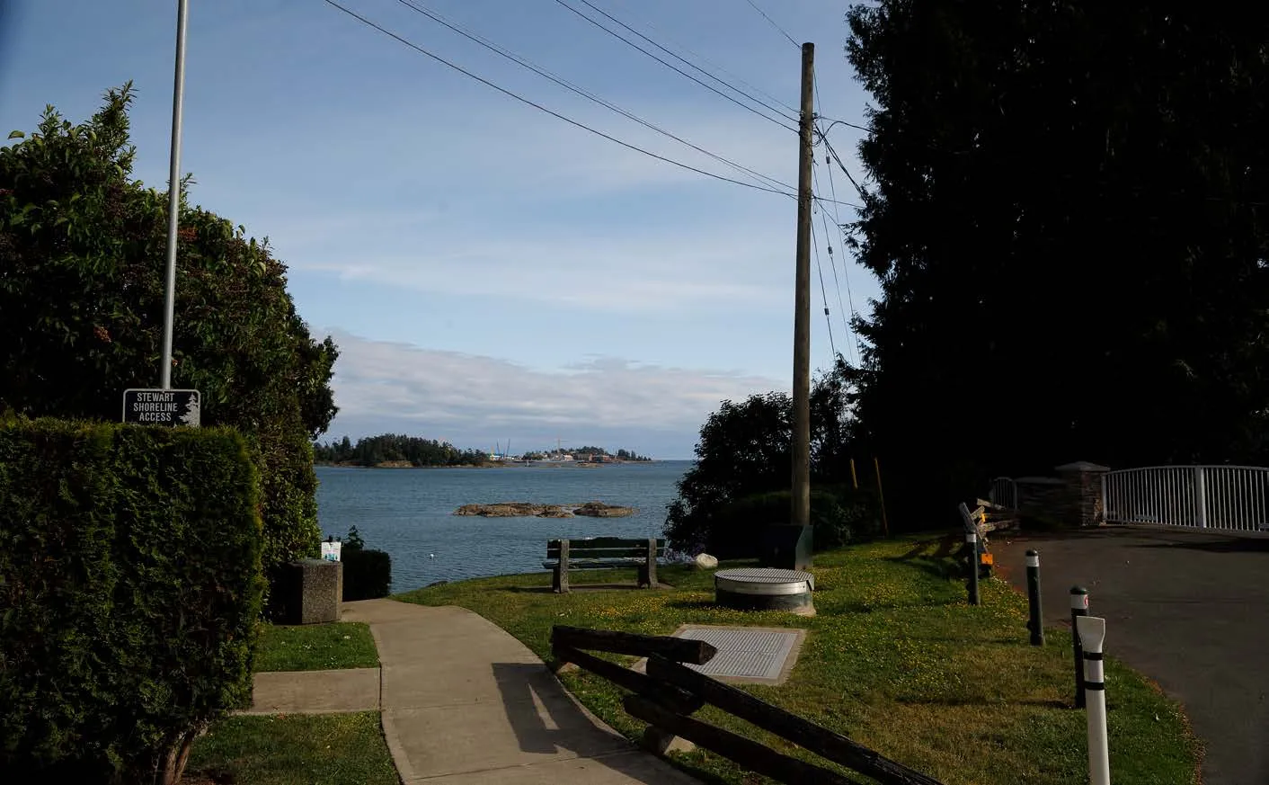
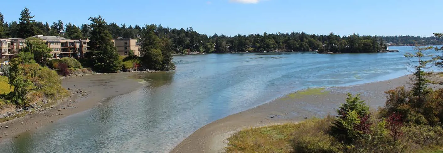
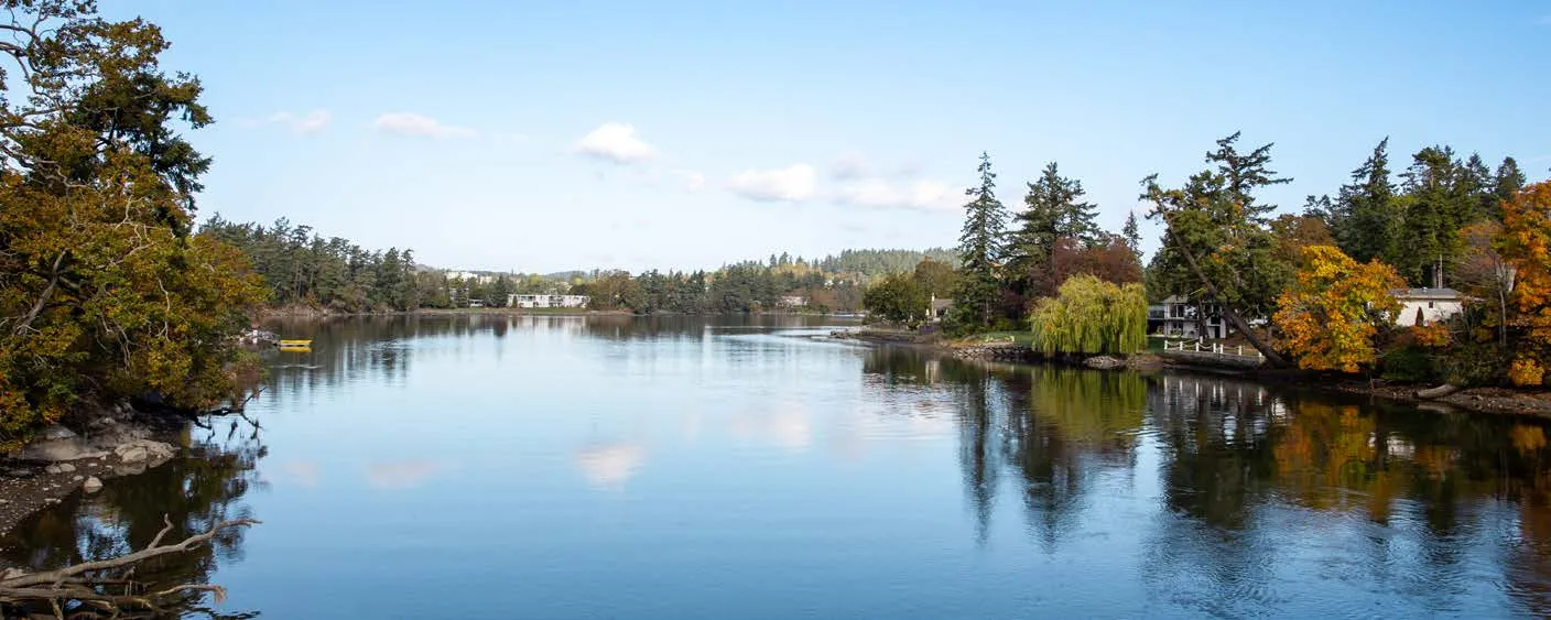
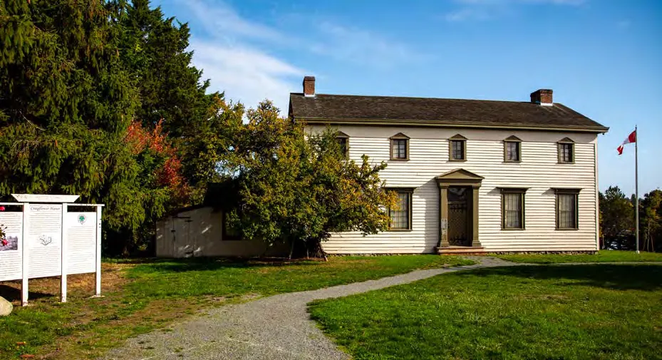
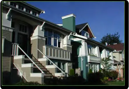
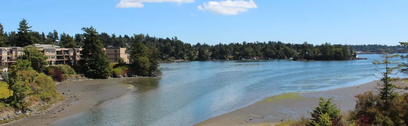
The Town is a growing community of over 11,500 people. It is largely residential, though offers a high standard of living with natural amenities like the Esquimalt Harbour, Portage Inlet, Thetis Lake Regional Park, and Craigflower and Millstream Creeks. View Royal is shaped by a rich variety of ecosystems, including its marine environments, estuaries, and freshwater lakes, as well as terrestrial environments from moist Douglas Fir forests to Garry Oak meadows. View Royal also hosts historic structures, the most notable being Craigflower Manor.
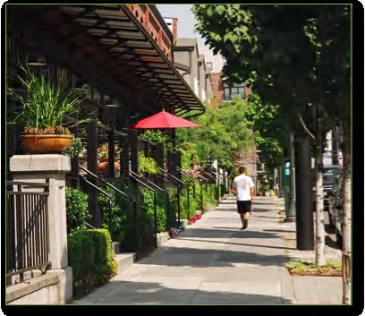
4.2 COMMUNITY TRAITS
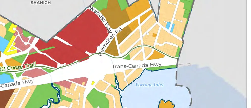
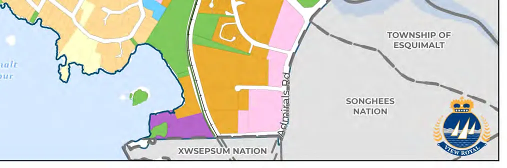
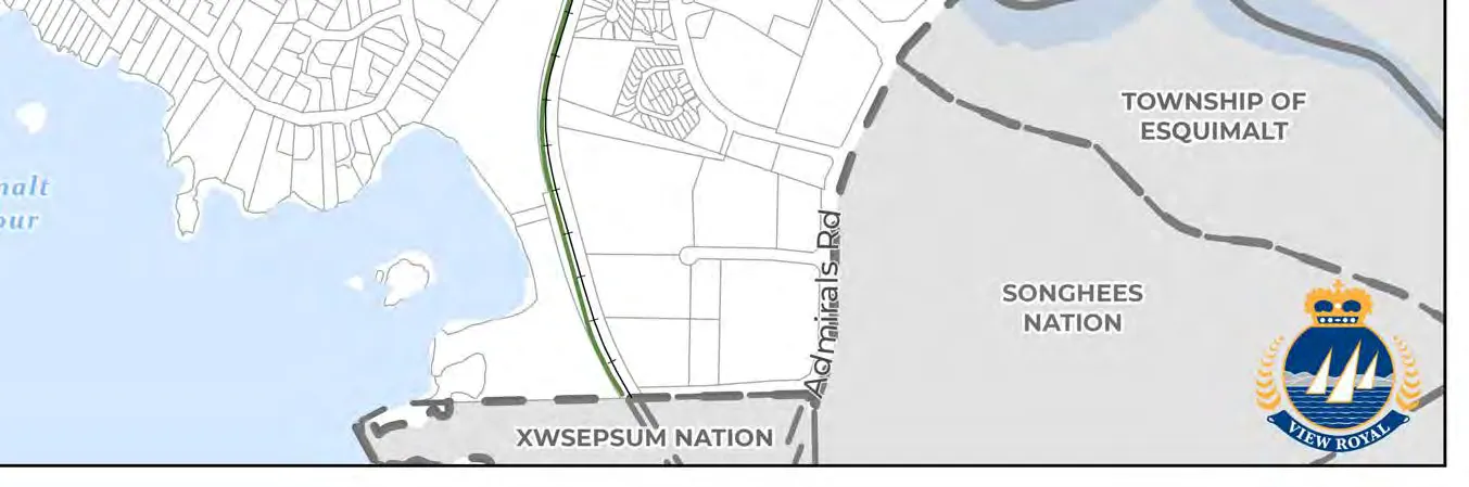
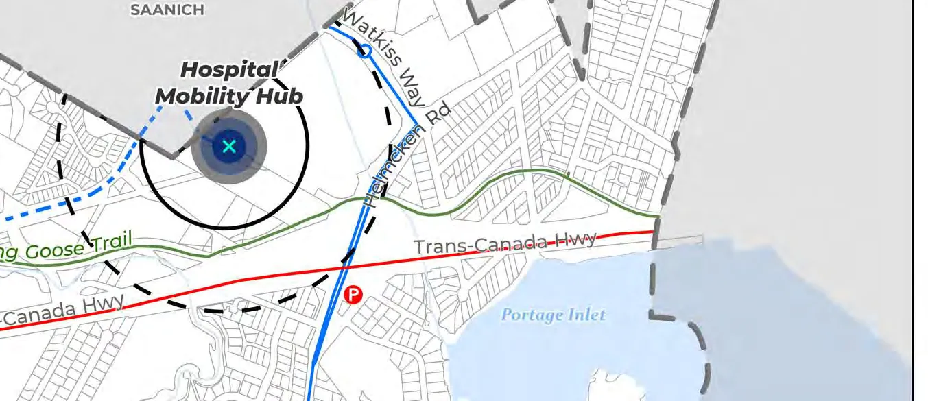
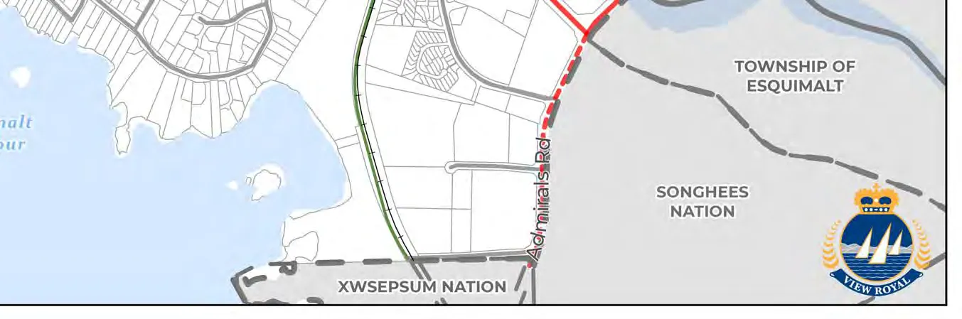
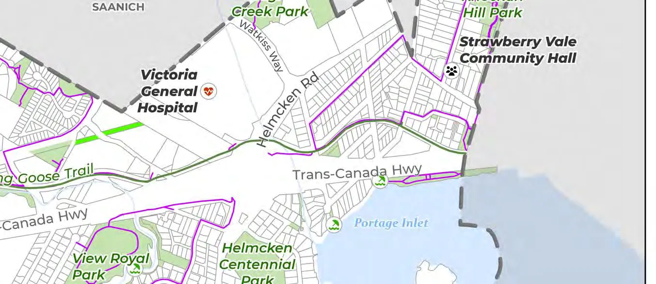
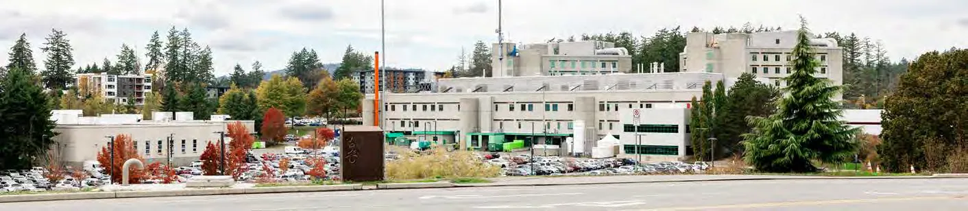
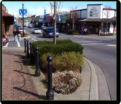
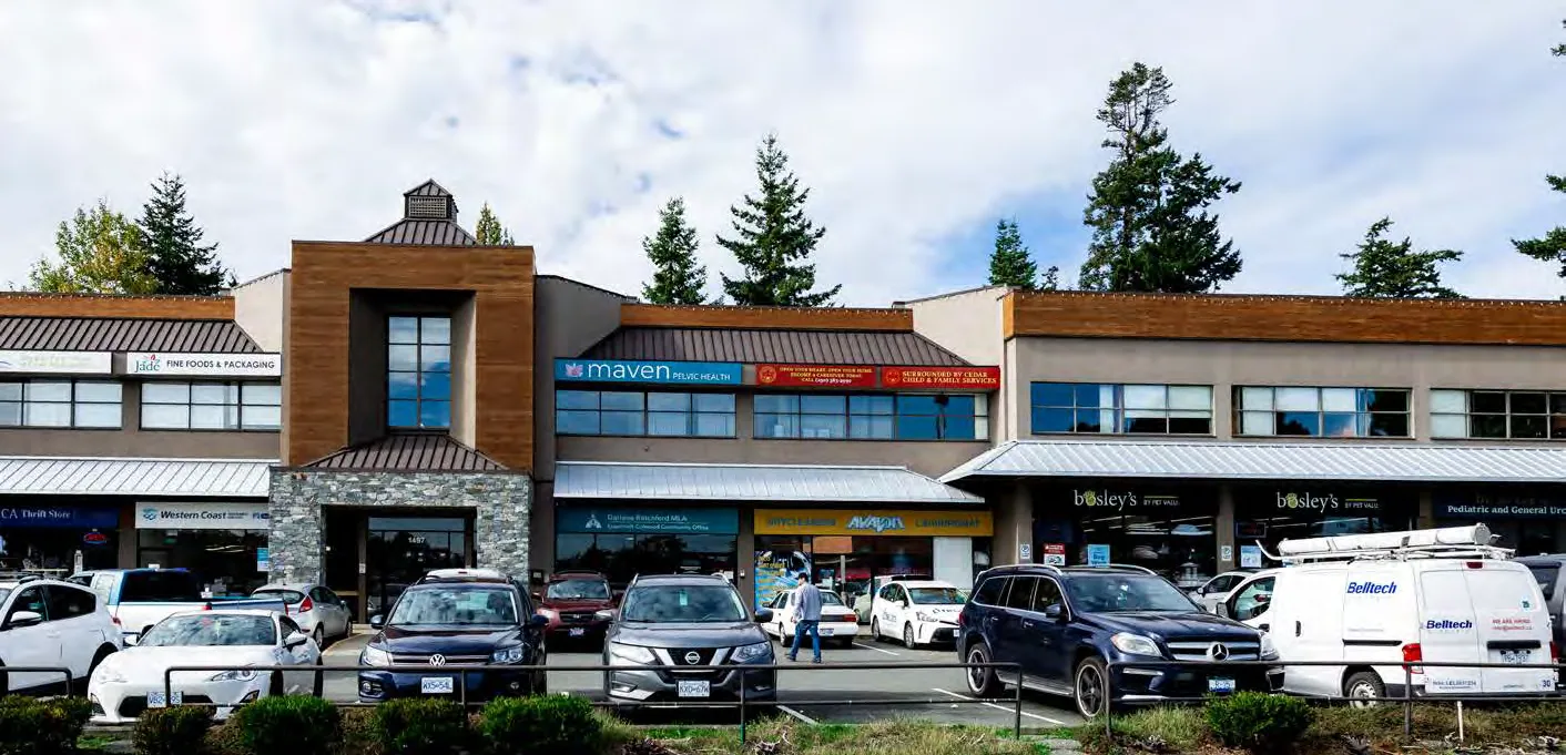
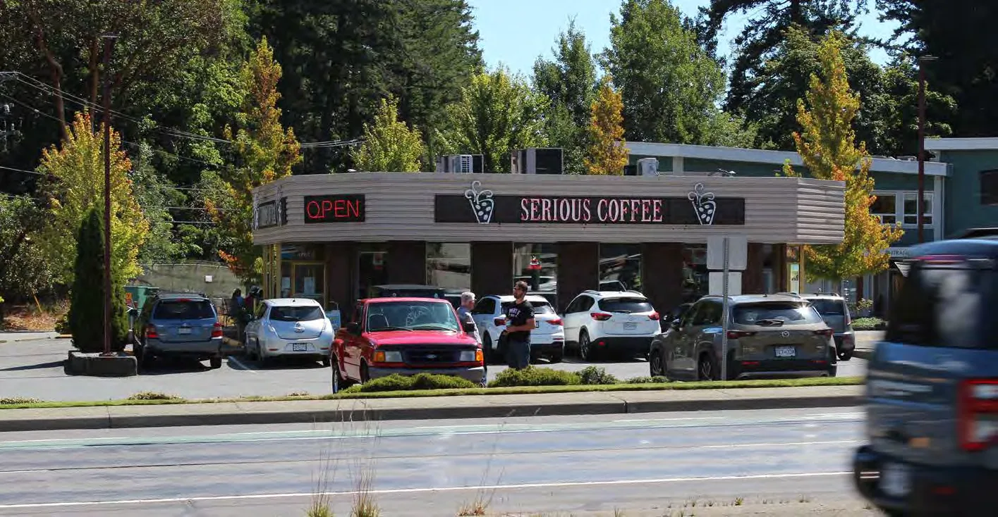
Since incorporation in 1988, the Town of View Royal has been transforming from a quiet suburb into a distinct and vibrant community, complete with its own unique neighbourhoods, commercial services, and highly desired parks and green spaces. View Royal is home to the regionally critical Victoria General Hospital; a growing development node supporting health care and services in the Capital Regional District. Residents enjoy recreation services through West Shore Parks and Recreation, which oversees the Juan de Fuca Recreation Centre, along with the many parks and natural green spaces located throughout the Town. The Western Gateway Employment District Corridor straddles the View Royal/Colwood border, offering a mix of business, as well as much future development potential. The community is serviced by two other large commercial hubs, including the Eagle Creek Shopping Centre, located just east of Victoria General Hospital and Admirals Walk, located along Admirals Rd.
4.3 REGIONAL TRENDS
GROWTH AND DEVELOPMENT TRENDS
The Greater Victoria Region has experienced notable population growth across its municipalities. From 2016 to 2021, populations grew by 7.1% in Victoria, 3.1% in Saanich, 31.8% in Langford, and 12.5% in Colwood. By comparison, View Royal’s population grew by 11.2% since 2016 (see Section 4.5). While Victoria and Saanich continue to grow steadily, Colwood and View Royal are experiencing medium growth, and Langford is rapidly developing, making it one of the fastest-growing municipalities in British Columbia. Proximity to Langford’s rapid expansion means View Royal may experience spillover effects, resulting in increased housing demand, traffic, and economic activity in View Royal.
View Royal and other communities in the West Shore continue to attract new residents as the community offers a high standard of living, housing options that are generally more affordable relative to Victoria and Oak Bay, access to natural amenities and recreational activities, and benefits from proximity to major transport routes and growing economic opportunities. Continued growth could drive further residential and commercial developments, reinforcing the Town’s dynamic evolution from a quiet suburb to a vibrant community with amenities located within close proximity to where people live.
HOUSING TRENDS
The Greater Victoria Region, along with the rest of British Columbia, faces a housing affordability crisis, prompting both provincial and municipal governments to implement measures aimed at increasing housing supply and diversity. Nine of the thirteen local governments in the Capital Regional District received Ministerial Housing Target Orders, including the Town of View Royal. The ministerial orders require local governments to meet annual targets as well as a five-year cumulative target, representing 75% of the housing needs for the municipality. The Province set a target for View Royal to construct 585 new homes over five years, as announced in July 2024.
Bill 47 Housing Statutes (Transit-Oriented Areas) Amendment Act, 2023 mandates some municipalities to designate Transit-Oriented Areas near transit hubs. Based on the Provincial regulations, the area west of the Victoria General Hospital around the existing bus exchange has been designated as a Transit-Oriented Area, as discussed further in section 5.3 Hospital Transit-Oriented Area Designation. Higher densities are planned to be accommodated to help provide more housing in this area.
SOCIAL TRENDS
The cost of living continues to rise in Greater Victoria, leading to an increased number of vulnerable populations within communities. These vulnerable groups often concentrate around essential resources, creating pockets of need that require targeted support. While these populations are largely located in Victoria, since the COVID-19 pandemic, the CRD has been experiencing increased concentrations of those experiencing homelessness in other municipalities.
Advancing climate action goals is a priority, with local governments actively seeking to reduce emissions and promote sustainable practices. There is a growing interest in food security, although implementing economically viable solutions remains challenging. Efforts to strengthen relationships with the Xʷsepsəm and Songhees Nations and advance reconciliation are also gaining awareness, reflecting a broader commitment to inclusivity, reconciliation, and social justice.
Tourism remains a robust economic driver, contributing significantly to the region’s economic health, in addition to post-secondary institutions, health care, and government/civic employment opportunities.
ENVIRONMENTAL TRENDS
Communities in the West Shore, including View Royal, place a high value on access to green spaces, recognizing their importance for recreation, mental health, environmental preservation, and overall quality of life. However, the region is facing environmental challenges due to more frequent extreme weather events and drier weather patterns, which could impact future water supply and necessitate more efficient water management practices. Additionally, rising sea levels and storm surges pose significant risks to coastal areas which includes all CRD communities. Regional collaborative efforts will be crucial for maintaining the health of marine ecosystems and protecting infrastructure from the adverse effects of climate change.
4.4 COMMUNITY PROFILE
DEMOGRAPHICS
Population The 2021 Census reports a total population for View Royal of 11,575 residents, representing a 11.2% increase (1,167 persons) since the 2016 Census. BC Stats estimates that the total population in 2024 was 12,979 residents, which would be an increase of 12.1% from the 2021 Census.
Table 1. Census Population (Totals) in View Royal, Greater Victoria, and British Columbia
| View Royal | Greater Victoria (CMA)¹ | British Columbia | |
|---|---|---|---|
| Total Population (2016) | 10,408 | 367,770 | 4,648,055 |
| Total Population (2021) | 11,575 | 397,237 | 5,000,879 |
| 5-Year Percentage Change (2016 to 2021) | 11.2% | 8% | 8% |
| 10-Year Percentage Change (2011 to 2021) | 23.4% | 15.3% | 13.7% |
¹ Per the Census, the Greater Victoria Census Metropolitan Area (CMA) includes the District of Saanich, City of Victoria, City of Langford, City of Colwood, District of Oak Bay, Township of Esquimalt, District of Central Saanich, District of Sooke, Town of Sidney, District of North Saanich, Town of View Royal, Juan de Fuca Electoral Area (Part 1), District of Metchosin, District of Highlands, and various First Nation Reserves.
Age Based on the 2021 Census data, the median age in View Royal is 44.8 years, which remains unchanged between 2016 and 2021. This aligns with the regional median age in Greater Victoria of 44.8 years but represents a slightly older population than British Columbia as a whole, which reported a median age of 42.8 years in 2021.
The population pyramid represented in Figure 1 below shows that 19% of the population is aged 19 and younger, 46% aged 20-54, and 36% aged 55 years and older. Of these broader age groups, the largest cohorts are 35-39 (8% of the total population), 40-44 (8%), and 50-54 (8%) years of age, amounting to 24% of the total population within the ‘middle-aged and/or family years. This distribution is similar for Greater Victoria as a whole.
The majority of the population in the 55+ age cohort are those aged 55-74, representing 28% of the View Royal’s population. Those in the 75 years and older cohort represent another 8% of the population. The growth of the 55-74 cohort is evident between Census years (2016 and 2021), given that the Town’s population aged 65 years and over increased by 3.2% in this time period. By contrast, there was a slight decrease to the Town’s youth population of those aged 9 and under of 1.9%; however, the 10-14 age cohort saw growth of 6.6%.
As a result, both the Town and Greater Victoria will likely feel the effects of an ageing population over the next 24 years, or the lifespan of this Official Community Plan.
Figure 1. Population Distribution in View Royal (2021)
| Age Range | Male (%) | Female (%) |
|---|---|---|
| 0 to 4 | ~2.2% | ~2.3% |
| 5 to 9 | ~2.5% | ~2.3% |
| 10 to 14 | ~3.0% | ~2.8% |
| 15 to 19 | ~2.6% | ~2.7% |
| 20 to 24 | ~2.8% | ~2.6% |
| 25 to 29 | ~3.1% | ~3.3% |
| 30 to 34 | ~3.6% | ~3.8% |
| 35 to 39 | ~3.9% | ~4.1% |
| 40 to 44 | ~3.9% | ~4.0% |
| 45 to 49 | ~3.6% | ~3.8% |
| 50 to 54 | ~3.9% | ~3.9% |
| 55 to 59 | ~3.6% | ~4.2% |
| 60 to 64 | ~3.7% | ~4.2% |
| 65 to 69 | ~3.7% | ~4.3% |
| 70 to 74 | ~3.2% | ~3.5% |
| 75 to 79 | ~2.0% | ~2.7% |
| 80 to 84 | ~1.1% | ~1.6% |
| 85 to 89 | ~0.8% | ~1.1% |
| 90 to 94 | ~0.2% | ~0.3% |
| 95 to 99+ | ~0.05% | ~0.1% |
HOUSEHOLDS
The average household size decreased from 2.4 persons to 2.3 persons between 2016 and 2021. However, the number of persons in private households increased from 9,910 to 11,260 (13.6% increase) within that same period. The decrease in the average household size and the number of persons in private households can likely be attributed to View Royal’s ageing population and an increase in smaller household sizes (e.g., couple-family households without children), which may be influenced by both retirement-aged and working professionals without children choosing to live in the community.
As noted in Table 2 below, View Royal’s average household size aligns closely with that of the region.
Table 2. Household Sizes in View Royal and Greater Victoria (2021)
| View Royal | Greater Victoria | |
|---|---|---|
| Average Household Size | 2.3 | 2.2 |
| Number of Persons in Private Households | 11,260 | 388,290 |
As indicated in Figure 2 below, the most common household type in the Town is one-census-family² households without additional persons (60%), largely comprising of couple-family households without children. The next largest household type grouping is one-person households (28%).
² Per Statistics Canada, a one-census family is defined as a married couple and the children, if any, of either and/or both spouses; a couple living common law and the children, if any, of either and/or both partners; or a parent of any marital status in a one‑parent family with at least one child living in the same dwelling and that child or those children.
Figure 2. Household Compositions in View Royal and Greater Victoria (2021)
| Household Type | Greater Victoria (%) | View Royal (%) |
|---|---|---|
| One-census-family households without additional persons | 54% | 60% |
| One-person households | 34% | 28% |
| Two-or-more-person non-census-family households | 6% | 5% |
| One-census-family households with additional persons | 4% | 4% |
| Multigenerational households | 2% | 2% |
| Multiple-census-family households | 1% | 1% |
CULTURAL CHARACTERISTICS
Citizenship & Ethnic Groups As indicated in the 2021 Census, 93% of View Royal residents are Canadian citizens, with 57.7% of the total population identifying as third (or more) generation.³ This is similar to the regional citizenship rate of 92.8%, with 55.7% of the total population being third generation or more.
Table 3. Citizenship in View Royal and Greater Victoria (2021)
| View Royal | Greater Victoria | |
|---|---|---|
| Percentage of Population that are Canadian Citizens | 93.0% | 92.8% |
| Generation Status | ||
| First Generation | 21.0% | 22.9% |
| Second Generation | 21.3% | 21.5% |
| Third Generation or More | 57.7% | 55.7% |
³ Based on a 25% sample size.
In the 2021 Census, View Royal residents reported European, East and South Asian, Indigenous North American, and non-Indigenous North American ethnic or cultural ancestries. The most highly reported ancestries were of European origins, including English (3455 instances), Scottish (2615 instances), and Irish (1915 instances).
Within View Royal, 775 residents (25% sample size of the total population) identify as having Indigenous ancestry, whether solely Indigenous ancestry (160 residents) or having mixed Indigenous and non-Indigenous ancestry (615 residents).
Languages Spoken The most prominent language spoken in View Royal private households is English at 93.1%. By contrast, 0.5% of households speak French most commonly at home and 6.3% of residents speak non-official languages. The most prominent non-official languages include Punjabi, Spanish, Mandarin, Cantonese, and Vietnamese.
Figure 3. Languages Spoken at Home (View Royal) (2021)
- English: 93.1%
- French: 0.5%
- Languages Other than English or French: 6.3%
ECONOMIC PROFILE
Income Based on 2020 Census income data,⁴ the largest household after-tax income groups in View Royal are $100,000-$124,999 and $150,000 and over, with each representing 15% of all households, or 30% combined. The smallest household after-tax income group is $5,000-$9,999, which accounts for 0.4% of View Royal households.
Figure 4. Household Income (2020, After Tax) in View Royal
| Income Bracket | % of Households |
|---|---|
| $150,000 and over | 15% |
| $125,000–$149,999 | 11% |
| $100,000–$124,999 | 15% |
| $90,000–$99,999 | 6.5% |
| $80,000–$89,999 | 7.5% |
| $70,000–$79,999 | 7.5% |
| $60,000–$69,999 | 8.5% |
| $50,000–$59,999 | 9% |
| $45,000–$49,999 | 4% |
| $40,000–$44,999 | 3.5% |
| $35,000–$39,999 | 3% |
| $30,000–$34,999 | 3% |
| $20,000–$24,999 | 2.5% |
| $15,000–$19,999 | 1.5% |
| $10,000–$14,999 | 0.8% |
| $5,000–$9,999 | 0.8% |
| Under $5,000 | 1.2% |
⁴ For the 2021 Census, the reference period for income data is the 2020 calendar year.
The average gross income of View Royal households in 2020 was $111,400. This average is influenced by the 48.6% of Town households earning more than $100,000 a year. Comparatively, the average gross income of households in Greater Victoria in 2020 was slightly lower at $107,000, which was largely driven by 41.2% of households earning over $100,000 a year.
By contrast, the median gross income of View Royal households in 2020 was $98,000, as compared to the median gross income of $85,000 in Greater Victoria households. These statistics highlight the relative prosperity of View Royal households when compared to the region.
Table 4. Average and Median Gross Incomes in View Royal, Greater Victoria, and British Columbia (2021)
| View Royal | Greater Victoria | British Columbia | |
|---|---|---|---|
| Average Gross Income of Households in 2020 | $111,400.00 | $107,000.00 | $108,600.00 |
| Median Gross Income of Households in 2020 | $98,000.00 | $85,000.00 | $85,000.00 |
Education
Table 5. Secondary (High) School Diploma Holders in View Royal (2021)
| Category | Count | % of Total |
|---|---|---|
| Total – Population Aged 25 to 64 Years in Private Households | 6265 | - |
| No High School Diploma or Equivalency Certificate | 485 | 7.7% |
| With High School Diploma or Equivalency Certificate | 5780 | 92.3% |
Of residents aged 25 to 64 years in View Royal, over two-thirds (72.4%) have obtained a post-secondary certificate, diploma, or degree. As shown in Figure 5 below, 67.5% of residents aged 25 to 64 years have completed post-secondary level education. Nearly all (92.3%) of residents aged 25 to 64 in the Town have achieved a secondary (high) school diploma or equivalency certificate. Of the residents who completed a secondary school diploma, 21.5% of residents aged 25 to 64 years have not attained post-secondary level education.
Figure 5. Highest Certificate, Diploma, or Degree in View Royal
- No Certificate, Diploma, or Degree: 6.1%
- Secondary School Diploma or Equivalency Certificate: 21.5%
- Apprenticeship, Trades, etc.: 2.2%
- College, etc.: 24%
- University – Below Bachelor’s Degree: 3.8%
- University – At or Above Bachelor’s Degree: 37.5%
Employment Of the total population surveyed by the 2021 Census, nearly two-thirds (61.1%) of the population in the labour force is currently employed, which is higher than the percentage of the regional population in Greater Victoria (59%). The Town’s unemployment rate also trends lower than Greater Victoria’s (3.6%, compared to 4.4% regionally).
Table 6. Labour Force Status, View Royal Residents (2021)
| In the Labour Force | View Royal (% of Population) | Greater Victoria (% of Population) |
|---|---|---|
| Not in the Labour Force | 35% | 36% |
| In the Labour Force: Unemployed | 3.6% | 4.4% |
| In the Labour Force: Employed | 61.1% | 59% |
Place of Work Over a quarter (26%) of View Royal residents work from home, which is similar to the proportion of the regional population that works remotely (27%). The proportion of View Royal residents working from home, at their usual place of work (i.e., at a specific, fixed address), or with no fixed workplace address aligns very closely with the region.
There was a large shift between place of work between the 2016 and 2021 Censuses, which is perhaps attributable to the Covid-19 pandemic. In 2016, 8% of the population in both View Royal and Greater Victoria worked from home. This number increased by 18% and 19%, respectively, in the Town and the region in 2021. Consequently, the percentage of the local and regional population working at their usual fixed place of work decreased by 19% among View Royal residents and regionally. The proportion of workers employed outside of Canada and with no fixed workplace address largely remained the same across both Census years.
Table 7. Place of Work, View Royal Residents (2021)
| Place of Work | View Royal (% of Population) | Greater Victoria (% of Population) |
|---|---|---|
| Worked at home | 26% | 27% |
| Worked outside Canada | 0% | 0% |
| No fixed workplace address | 13% | 13% |
| Usual place of work | 61% | 60% |
| *25% Sample Data |
Industry According to the 2021 Census, most View Royal residents work in the following industries as identified through the National Occupational Classification (NOC; 2021):
- Sales and Service Occupations (24.3%);
- Business, Finance, and Administration Occupations (18.8%);
- Occupations in Education, Law and Social, Community, and Government Services (16.6%); and,
- Natural and Applied Sciences and Related Occupations (10.1%).
A detailed breakdown of the population within each occupational industry is provided in Figure 6.
Figure 6. Proportion of the Population per Industry (2021)
- Sales and service occupations: 24.3%
- Business, finance and administration occupations: 18.8%
- Occupations in education, law and social, community and government services: 16.6%
- Trades, transport and equipment operators and related occupations: 13.6%
- Natural and applied sciences and related occupations: 10.1%
- Health occupations: 9.4%
- Occupations in art, culture, recreation and sport: 3.4%
- Occupations in manufacturing and utilities: 1.3%
- Natural resources, agriculture and related production occupations: 1.3%
- Legislative and senior management occupations: 1.3%
The NOC system was updated after the 2016 Census to employ different classifications; the only substantive change was to the “Legislative and Senior Management Occupations” category, which was previously “Management Occupations.” This change meant that all middle management unit groups were relocated in their broad occupational category, resulting in a substantial decrease in the retitled Legislative and Senior Management Occupations (-11.5%) and slight increases to all other occupations.
Prior to the changes in the NOC system, the largest occupational category in 2016 was Sales and Service Occupations (20.6%); this occupational category was still the largest in 2021, along with the other top occupational categories of 2016:
- Business, Finance, and Administration Occupations (17.9%);
- Occupations in Education, Law and Social, Community and Government Services (13.8%);
- Management Occupations (12.8%); and,
- Trades, Transport and Equipment Operators and Related Occupations (12.1%).
HOUSING PROFILE
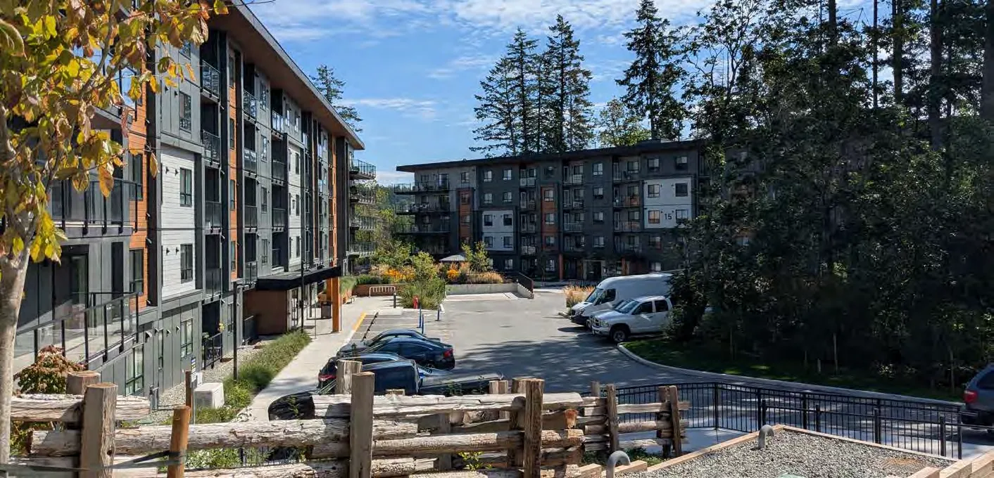
Dwelling Typologies In View Royal, over one-third (36%) of the population resides in a single-detached house. The next most common housing typology are rowhouses, which house one-fifth (20.1%) of the total population. There are more residents occupying low-rise (fewer than five storeys or an apartment/flat in a duplex⁵) apartments (18.3%) than there are residents in high-rise apartments greater than five storeys (3.4%). Compared to the 2016 Census, there has been an increase in the percentage of residents living in row houses (+2.9%), low-rise apartments (fewer than 5 storeys; +3.2%), and high-rise apartments (+1.4%). Conversely, there has been a decrease in residents living in single-detached houses (-3.9%) and apartments or flats in a duplex (-3.3%).
In the near future, the proportion of residents in apartments may shift as more multi-unit residential properties are expected to be completed.
⁵ An apartment or flat in a duplex is defined by Statistics Canada as “one of two dwellings located one above the other. Apartments or flats in duplexes attached to triplexes, other duplexes or other non-residential structures (e.g., a store) are also classified as apartments or flats in a duplex.” This definition includes secondary suites.
Figure 7. Percentage of Population per Dwelling Type (2021)
- Single Detached House: 36%
- Rowhouse (Townhouse): 20.1%
- Apartment with (5 or Fewer Storeys): 18.3%
- Apartment or Flat in a Duplex: 18.4%
- Semi-Detached House (Duplex): 3.9%
- Apartment (5 or More Storeys): 3.4%
- Other Single-Attached House: 0.1%
Housing Tenure and Affordability Approximately two-thirds of View Royal’s households own their home as of 2021 (67.4%; 3,315 households). As per the 2021 Census, the median monthly shelter costs total $1600, which is similar to the average monthly shelter costs of $1698. The median value of dwellings was reported as $800,000 and the average value was noted as $848,000.
The remaining one-third of the Town’s households rent their home as of 2021 (32.6%; 1,600 households). The 2021 Census notes that the median monthly shelter costs for rented dwellings is $1560 and the average monthly shelter costs are $1578.
4.5 COMMUNITY GROWTH
DEVELOPMENT TRENDS
The following section reviews the Town’s residential development permit data. Based on development permit data available between 2011 and 2024, an average of 127.6 units is permitted each year. However, some years have seen more activity than others; in 2021 and 2022, the Town saw the highest number of applications, where a total of 428 and 419 units were permitted, respectively. Overall, there was an uptick in issued permits from 2016 to 2022, with a decrease in activity over 2023 and 2024. It is expected that a few major developments will be completed in the Town over the next few years.
Figure 8. Residential Units Permitted Yearly (Development Permits) (2010–2024)
| Year | # of Units |
|---|---|
| 2010 | ~50 |
| 2011 | ~45 |
| 2012 | ~60 |
| 2013 | ~85 |
| 2014 | ~65 |
| 2015 | ~25 |
| 2016 | ~235 |
| 2017 | ~135 |
| 2018 | ~65 |
| 2019 | ~215 |
| 2020 | ~35 |
| 2021 | 428 |
| 2022 | 419 |
| 2023 | ~45 |
| 2024 | ~55 |
There is less non-residential (commercial, industrial, institutional) building activity in the Town, with an average of 2.8 building permits issued each year (based on data from 2011 to 2024). Of these permits, the majority (89%) are for commercial or institutional uses; in the last five years, there has been a steady stream of approvals for these development types. There have been no building permits issued for industrial uses since 2011.
Figure 9. Non-Residential Building Permits by Year and Type (2010–2024) Significant activity in 2014 (8 commercial, 1 public), 2015 (4 commercial, 1 mixed use), 2023 (3 commercial, 4 public).
POPULATION PROJECTIONS
Table 8 and Figure 10 below outline the low, medium, and high population growth scenarios for the Town. The low growth scenario was prepared using projection data available from BC Stats. The medium and high growth scenarios were based on available population data from BC Stats and the 2001, 2006, 2011, 2016, and 2021 Censuses, and aligned to match growth trends across these Census years. Other references included the Town’s 2024 Interim Housing Needs Report, which forecasts the projected number of units needed to meet household growth. Regional growth rates from the IHNR were also considered as part of scenario preparation but not factored into the final scenarios.
The medium growth scenario (2.2%) will be used to inform policy direction and land use designations of this OCP, as it is best aligned with historic annual population growth trends in View Royal over a period of 20-years. Both the low (1.1%) and high (3.3%) growth scenarios were prepared as supplementary information to reflect historical fluctuations in population rates and acknowledge the potential variations in growth over the next 25 years. The medium growth scenario (2.2%) anticipates the population of View Royal will be approximately 22,513 people in the year 2050.
Table 8. Population Projections (2025-2050)
| Year | Low (1.1%) | Medium (2.2%) | High (3.3%) |
|---|---|---|---|
| 2025 | 13,085 | 13,085 | 13,085 |
| 2030 | 13,809 | 14,585 | 15,391 |
| 2035 | 14,573 | 16,257 | 18,104 |
| 2040 | 15,379 | 18,120 | 21,295 |
| 2045 | 16,230 | 20,198 | 25,048 |
| 2050 | 17,128 | 22,513 | 29,463 |
Figure 10. Population Growth Projections Visual representation of the table data above, showing the diverging paths for low, medium, and high growth through 2050.
HOUSING NEEDS
Core Housing Need As defined by the Canada Mortgage and Housing Corporation and the University of British Columbia’s Housing Assessment Resource Tools, a household is deemed to be in core housing need if they are spending over 30% of its before-tax income on median shelter costs and if housing does not meet one or more of the following standards:
- Adequacy – does not require any major repairs.
- Suitability – has enough bedrooms for the household’s residents.
Extreme Core Housing Need has the same standards as Core Housing Need, except a household is spending over 50% of their before-tax household income on shelter costs.
Table 9 below identifies the total number of owner (with a mortgage) and renter households in Extreme Core Housing Need in 2021, along with the forecasted number of units required for View Royal to provide suitable, affordable, and adequate housing for this group in a 20-year time period.
Table 9. Number and Proportion of Owner and Renter Households in Extreme Core Housing Need (2021)
| Category | 2021 Households | Average ECHN Rate | Households in ECHN |
|---|---|---|---|
| Owners with a Mortgage | 3,315 | 0.90% | 30.00 |
| Renters | 1,600 | 9.02% | 144.36 |
| Total New Units to Meet ECHN – 20 Years | 174.36 |
Short- and Long-Term Housing Needs The following tables include information from the Interim Housing Needs Report, which projects the total number of new units required to meet household growth needs in the short- (5 year) and long- (20 year) term.
Table 10. New Units Needed to Meet Anticipated 20-Year Household Growth Needs (2021-2041)
| Growth Scenarios | Regional Growth Rate | Households (2021) | Households (2024) | New Units |
|---|---|---|---|---|
| Local Household Growth | N/A | 4,915 | 7,198 | 2,283 |
| Regionally Based Household Growth | 37.57% | 4,915 | 6,761.53 | 1,846.53 |
| Scenario Average | 2,064.76 |
The above information informs the summary of new units in Table 11. Altogether, the Interim Housing Needs Report indicates that a total of 842 units would be required over 5 years and 2,889 over 20 years to 2041 to meet housing needs related to extreme core housing, persons experiencing homelessness, suppressed household formation, anticipated growth, rental vacancy rate adjustment, and local demand in View Royal.
Table 11. Total Number of New Units Needed in the Short- and Long-Term
| Housing Need Component | 5 Year Need (2026) | 20 Year Need (2041) |
|---|---|---|
| Extreme Core Housing Need | 43.59 | 174.36 |
| Persons Experiencing Homelessness | 28.32 | 56.65 |
| Suppressed Household Formation | 35.56 | 142.24 |
| Anticipated Growth | 621.66 | 2,064.76 |
| Rental Vacancy Rate Adjustment | 11.57 | 46.28 |
| Additional Local Demand | 101.11 | 404.44 |
| Total New Units | 842 | 2,889 |
The Interim Housing Needs Report was completed in 2021. As of November 2024, a total of 706 new dwelling units are expected to be completed within the next 2 years, which includes 471 rental units and 235 strata units. Two multi-unit buildings totalling 158 dwelling units are partially occupied and are no longer included as they are nearing completion. When summed together, these 864 total new units will help the Town meet its short-term need of 842 units by 2027.
Extrapolating to 2050 Using Table 11 as a reference point, extending the IHNR totals of 842 units (forecasted need over 5 years to 2026) and 2,889 units (forecasted need over 20 years to 2041) to align with the OCP time horizon and meet housing needs in View Royal will mean that a total of 4,189 units would be required to capture the additional growth expected between 2041 and 2050. Looking only at the span of 2041 to 2050 (10 years), 1,444.5 additional units would be required in addition to the 2,889 units required from 2021-2041 to meet the Town’s expected housing needs.
EMPLOYMENT LANDS PROJECTIONS
Commercial Projections
Retail and Service Projections A market demand study was completed in 2021 that provided locally oriented retail and service space demand projections for View Royal. Projections were calculated under two scenarios:
- Lower Capture Scenario: View Royal captures about 50% of the future trade area⁶ local-oriented retail and service growth throughout the projection period from 2025 to 2050.
- Higher Capture Scenario: The higher scenario assumes that the proportion of future trade area local-oriented retail and service growth by View Royal increases from 50% in 2025 to 75% from 2030 onwards.
⁶ Trade area refers to: The local trade area (View Royal, Esquimalt, Vic West) and the subregional commercial trade area (West Shore municipalities).
Table 12. Local Oriented Retail/Service Demand Projections - Lower Scenario
| Projection Type (Square Feet) | 2025-2030 | 2030-2035 | 2035-2040 | 2040-2045 | 2045-2050 | Total 2025-2050 |
|---|---|---|---|---|---|---|
| Projected Supportable Local Retail Growth | 13,500 | 17,500 | 17,000 | 15,000 | 17,500 | 80,500 |
| Projected Subregional Retail Growth | 11,000 | 10,900 | 7,100 | 5,450 | 10,750 | 45,200 |
| Projected Total Retail/Service Growth | 24,500 | 28,400 | 24,100 | 20,450 | 28,250 | 125,700 |
| Average Projected Yearly Growth | 4,900 | 5,680 | 4,820 | 4,090 | 5,650 | 5,028 |
View Royal Supportable Retail/Service Floorspace (SF)
- 2025: 528,950
- 2030: 553,300
- 2035: 581,700
- 2040: 605,800
- 2045: 626,250
- 2050: 654,500
Table 13. Local Oriented Retail/Service Demand Projections - Higher Scenario
| Projection Type (Square Feet) | 2025-2030 | 2030-2035 | 2035-2040 | 2040-2045 | 2045-2050 | Total 2025-2050 |
|---|---|---|---|---|---|---|
| Projected Supportable Local Retail Growth | 20,250 | 26,250 | 25,500 | 22,500 | 26,250 | 120,750 |
| Projected Subregional Retail Growth | 22,000 | 21,800 | 14,200 | 10,900 | 21,500 | 90,400 |
| Projected Total Retail/Service Growth | 42,250 | 48,050 | 39,700 | 33,400 | 47,750 | 211,150 |
| Average Projected Yearly Growth | 8,450 | 9,610 | 7,940 | 6,680 | 9,550 | 8,446 |
View Royal Supportable Retail/Service Floorspace (SF)
- 2025: 528,950
- 2030: 571,200
- 2035: 619,250
- 2040: 658,950
- 2045: 692,350
- 2050: 740,100
The projections show that the supportable total retail and service floorspace in View Royal could increase by about 125,700 square feet and 211,150 square feet between 2025 and 2050. This is equivalent to annual retail and service growth of about 5,030 square feet to 8,450 square feet per year on average.
Office Space Projections
Recent development indicates that the suburban share of Greater Victoria’s office space is down from 35% in 2019 to 33% (as it was in 2006). Trends in office development suggest that the Town should re-evaluate office space growth to 2031 to a much lower share of growth, and more modest thereafter to 2050. Based on this information, two projection scenarios were prepared:
- Lower Growth Scenario (Table 14): Suburban office growth share is 33%, with View Royal’s remaining at 7.7%—both figures kept consistent from 2025-2050.
- Higher Growth Scenario (Table 15): Same 7.7% of suburban growth for the 2025-2030 period and increasing by 1% for each subsequent 5-year period beyond 2030 to 2050.
Table 14. Office Space Projections, Lower Growth Scenario
| Projected Total Office Floorspace | 2019 | 2025 | 2030 | 2035 | 2040 | 2045 | 2050 |
|---|---|---|---|---|---|---|---|
| Greater Victoria | 12,898,405 | 13,798,405 | 14,548,405 | 15,298,405 | 16,048,405 | 16,798,405 | 17,548,405 |
| Suburban Office Market Share | 35.3% | 35.1% | 35.0% | 34.9% | 34.9% | 35.0% | 35.0% |
| View Royal Share | 3.2% | 3.0% | 3.3% | 3.5% | 3.8% | 4.1% | 4.5% |
| View Royal Total SF | 146,910 | 146,910 | 165,910 | 187,910 | 212,910 | 241,910 | 273,910 |
| View Royal Growth from 2025 (sf) | n/a | - | 19,000 | 41,000 | 66,000 | 95,000 | 127,000 |
Table 15. Office Space Projections, Higher Growth Scenario
| Projected Total Office Floorspace | 2019 | 2025 | 2030 | 2035 | 2040 | 2045 | 2050 |
|---|---|---|---|---|---|---|---|
| View Royal Growth from 2025 (sf) | n/a | - | 19,000 | 41,000 | 66,000 | 95,000 | 127,000 |
Overall, it is anticipated that office floorspace growth in View Royal could increase by 85,000 square feet to 127,000 square feet between 2025 and 2050. Due to View Royal’s proximity to the Victoria General Hospital, it is anticipated that this demand will be for medical-related office space (e.g., professional and personal services).
Industrial Projections
Since 2011, the Town has not seen any new building permits for industrial development, except for one building addition that is a mixed-use commercial and industrial development. Given historic building permit and construction trends for industrial development in View Royal, it is anticipated that there will be little to no growth in industrial land uses if designations are to remain as-is and/or market conditions remain.
Institutional Projections
Based on historic building permit data for public/institutional land uses from 2011 to 2024, it is anticipated that there will be approximately 8,008 square feet of institutional development constructed in the Town each year, or an estimated total of 200,112 square feet of new institutional development over a 25-year period.
Part Two: Land Use
- 5.0 Land Use (50)
- 5.1 General Framework and Considerations (50)
- 5.2 Western Gateway Employment District Corridor Designation (62)
- 5.3 Hospital Transit-Oriented Area Designation (65)
- 5.4 Neighbourhood Village Designation (68)
- 5.5 Neighbourhood Centre Designation (70)
- 5.6 Commercial Designation (71)
- 5.7 Intensive Mixed Use Designation (73)
- 5.8 Neighbourhood Mixed Use Designation (75)
- 5.9 Mixed Residential Designation (77)
- 5.10 Small-Scale Multi-Unit Housing Designation (79)
- 5.11 Residential Designation (82)
- 5.12 Large Lot Residential Designation (84)
- 5.13 Rural Designation (84)
- 5.14 Community Facility Designation (85)
- 5.15 Parks, Trails and Open Space Designation (87)
- 5.16 Urban Reserve Designation (89)
5.0 Land Use
Land Use determines the physical framework of the community, providing direction for how and where View Royal will grow in the future. This plan provides guidance on the approach and priorities for where development and growth are supported and in what form.
5.1 GENERAL FRAMEWORK AND CONSIDERATIONS
5.1.1 CONTEXT
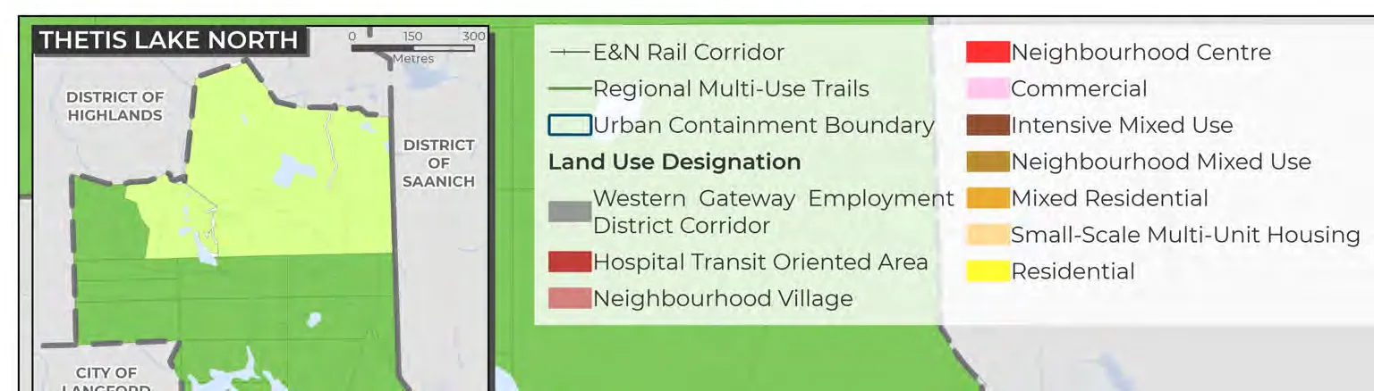
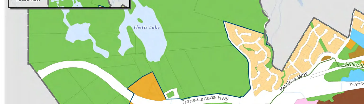
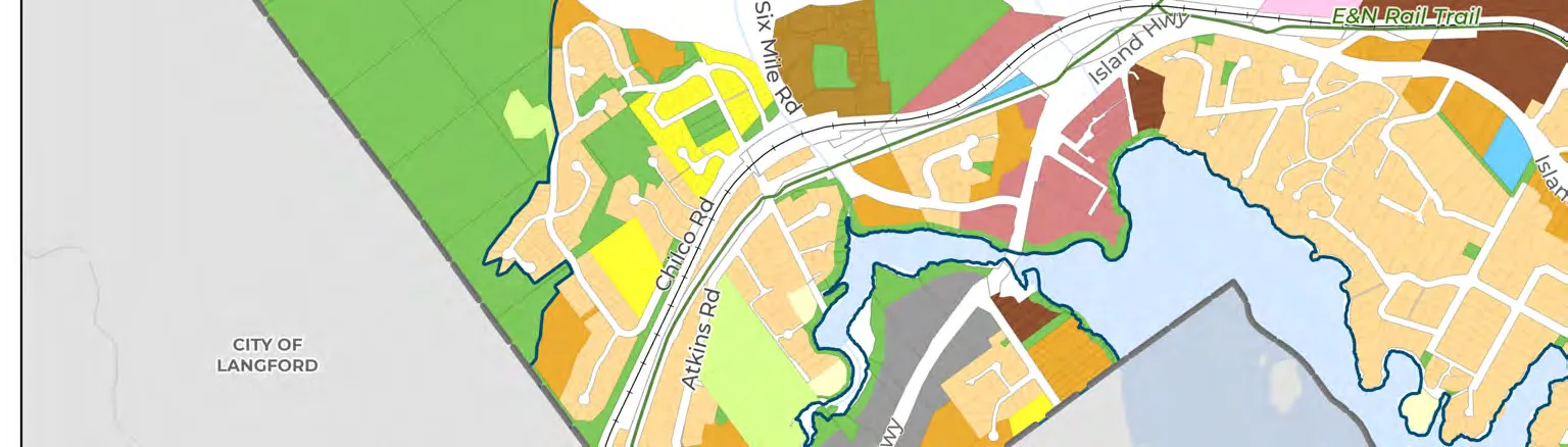
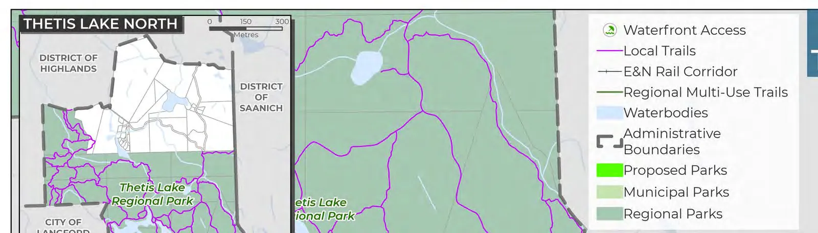
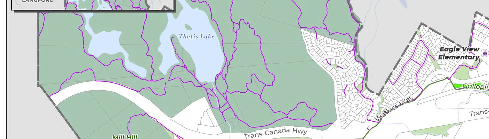
While View Royal started as a suburban community, it has since transformed into a vibrant community with local and regional services. New subdivisions are near completion along Six Mile Road near Thetis Lake. Most of the land within View Royal has been developed with no remaining vacant sites for development within the Urban Containment Boundary (see Map 1). Future growth will occur through redevelopment and infill of existing lands.
Thetis Lake Regional Park is an expansive natural regional amenity on the north side of View Royal, providing a buffer between the urban development of View Royal and the predominantly rural area to the north of Thetis Lake Regional Park, characterized by low-density housing and preserved green spaces.
Higher residential density and commercial activity in View Royal is currently concentrated along Island Highway, Admirals Road, Helmcken Road, and major intersections. There are some small pockets of neighborhood services that offer opportunities for enhancement, and areas along major transportation routes with potential for further infill development.
In recent years, commercial and institutional development in View Royal as well as apartments and condos near these of nodes and has steadily increased, highlighting the growing demand for business and services in View Royal. For example, the Eagle Creek Shopping Centre, east of the Hospital Transit-Oriented Area (see Section 5.3), has recently undergone major redevelopment. The area has been transformed into an important node with mixed use, providing key commercial, office, retail, restaurant, healthcare related services, and other local amenities.
View Royal has two mobility hubs – the Atkins Mobility Hub and the Hospital Mobility Hub – which serve as key intersections of land use and transportation. These mobility hubs act as central community gathering spots that promote connection and access to community amenities (see Map 3).
The vision for View Royal is to provide more amenities and services to a growing community in the form of mixed use development focused along the four major corridors (as shown in Figure 11), including Admirals Road, Helmcken Road, Island Highway, and the Western Gateway Employment District Corridor. The intersection of Helmcken Road and Island Highway has the opportunity to become a node, providing neighbourhood level, mixed use amenities and services.
Definitions:
- Nodes: refer to community focal points, such as intersections or transit hubs, that act as key centres of activity.
- Mixed use: is a development typology that accommodates a variety of uses with clear and convenient connections to the public realm.
- Mobility Hubs: are mobility-oriented development areas that offer seamless access to multiple transportation modes, connecting people to key destinations, employment, and services.
The following OCP Goals may be achieved through the policy direction provided in this section:
- Mobility and Connectivity
- Diverse and Affordable Housing
- Growth Management and Community Character Preservation
- Economic Development
- Reconciliation
Corridors are primary transportation routes where increased development density is generally encouraged to maximize accessibility for vehicles, public transit, and pedestrians. In View Royal, key corridors include Admirals Road, Helmcken Road, Island Highway, and the Western Gateway Employment District Corridor.
Figure 11. View Royal’s Corridors
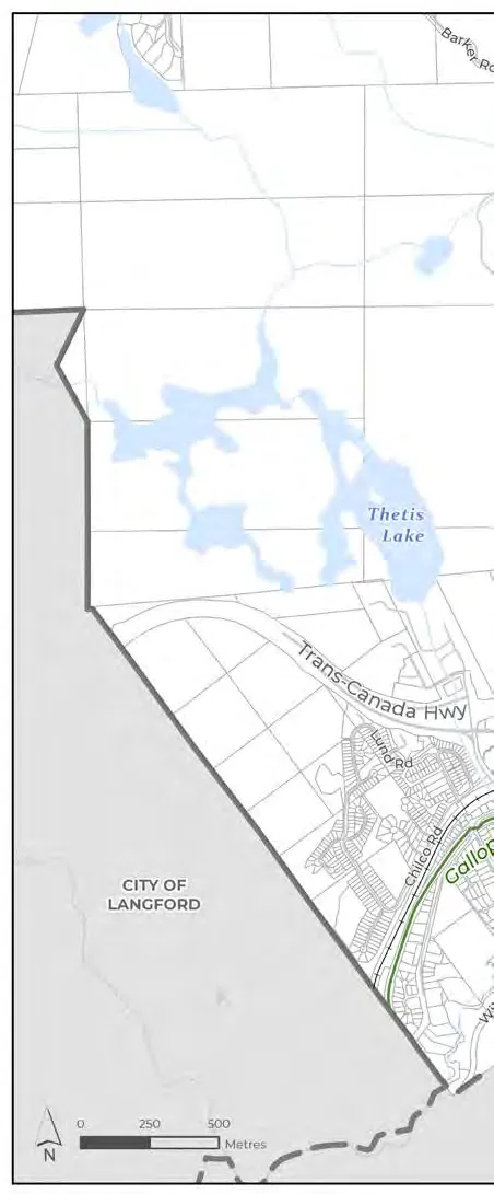
5.1.2 OBJECTIVES
- Spaces for Sustainable, Compact, and High-Density Development: Create a more complete and sustainable community by directing most new growth to the corridors and mobility hubs which focus on mixed use, transit-oriented development and design.
- Small-Scale, Multi-Unit Housing and Infill Development: Encourage the development of new compact housing near amenities, services, and transit-serviced routes within existing Small-Scale Multi-Unit Housing areas inside the Urban Containment Boundary as desirable forms of small-scale infill development.
- Quality and Complementary Built Form: Support high-quality development that complements existing built forms and achieves sustainable urban and building design, safety, and dynamic public and private spaces.
- Community Connections: Continue to advance opportunities to enhance existing connections and identify opportunities to establish new connections between neighbourhoods and mobility hubs.
- Manage Development and the Natural Environment: Manage development to protect known and future green and blue spaces that make up the community’s natural environment.
- Functional, Connected Green Spaces: Establish a functional and interconnected greenspace and trail network in the Western Gateway Corridor, focusing on the areas along Millstream Creek and Esquimalt Harbour.
- Spaces for People: Enhance the social fabric of the community by planning and designing public and private spaces that meet the diverse daily needs of residents.
5.1.3 GENERAL POLICIES
A. Create viable conditions for local businesses to thrive by directing higher levels of housing and employment densities to the mobility hubs and corridors. B. Strengthen connections between existing residential neighbourhoods, corridors, and mobility hubs by providing multi-modal trails, linear parks, and enhancing public spaces. C. Integrate existing neighbourhood characteristics into the design of new developments. D. Encourage the development of public gathering places near activity-generating uses. E. Development of four storeys or greater should incorporate commercial or public use space. F. Prohibit the subdivision of waterfront lots to protect the integrity of the shoreline. G. The Town will not support aggregate extraction activities within its boundaries. H. Explore the viability of density bonusing for the Hospital Transit-Oriented Area and Western Gateway Employment District Corridor. I. Apply Universal Access Design principles and guidelines to public space design. J. Maintain the Urban Containment Boundary as shown on Map 1. K. Integrate community safety principles (CPTED) into all design guidelines.
5.1.4 MOBILITY HUB POLICIES
A. Establish the Atkins Park and Ride and the Hospital Transit-Oriented Area as View Royal’s mobility hubs. B. Encourage transit-supported uses and medium to high densities. C. Promote walkability and a strong public realm through convenient links to transit, cycling routes, and multi-use trails. D. Design lands within mobility hubs to enable connection between developments.
5.1.5 REDEVELOPMENT POLICIES
A. Consider incorporating provisions for density bonusing to secure community amenities. B. Consider financial tools to collect funds for community amenities where growth is planned. C. Maintain alignment of the Development Cost Charges Bylaw with market trends. D. Protect or restore heritage, archaeological, or cultural assets significant to Songhees and Xʷsepsəm Nations potentially impacted by redevelopment. E. Support the reuse or retrofit of historically significant buildings identified in the Town’s Heritage Register.
F. Explore opportunities to establish a standard for required professional reporting for development applications. G. Explore the opportunity to integrate Development Approval Information authority to request additional info like environmental reports or renderings. H. Consider increased building heights for rezoning where developments advance plan objectives, demonstrate architectural excellence, or provide significant public benefit. I. Expand housing choice by supporting sensitive and strategic infill development. J. Consider criteria like transit access, proximity to amenities, and tree preservation when reviewing applications for new housing forms. K. Consider developing Infill Design Guidelines to ensure new development is thoughtfully integrated.
MAP 1: LAND USE
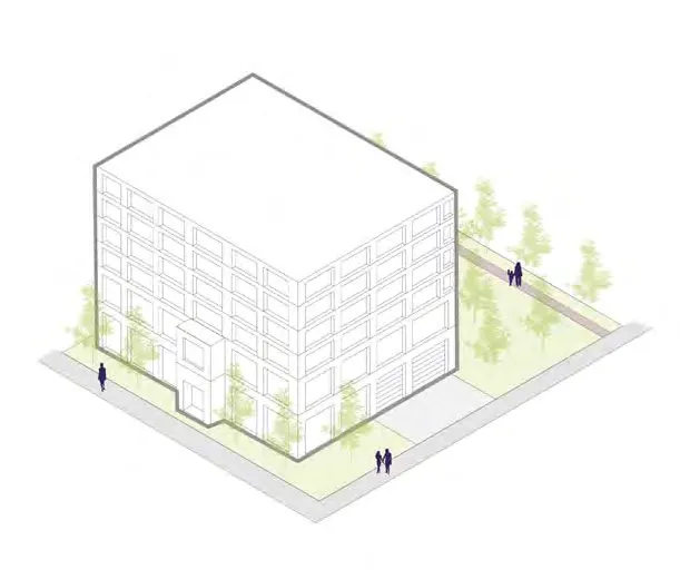
Land Use Designations:
- Western Gateway Employment District Corridor: (Grey)
- Hospital Transit-Oriented Area: (Dark Red)
- Neighbourhood Village: (Light Red)
- Neighbourhood Centre: (Bright Red)
- Commercial: (Pink)
- Intensive Mixed Use: (Brown)
- Neighbourhood Mixed Use: (Dark Brown)
- Mixed Residential: (Orange)
- Small-Scale Multi-Unit Housing: (Beige)
- Residential: (Yellow)
- Large Lot Residential: (Light Yellow)
- Rural: (Light Green)
- Community Facility: (Blue)
- Park: (Green)
- Urban Reserve: (Purple)
- Urban Containment Boundary: (Dark Blue Line)
5.1.6 LAND USE DESIGNATIONS SUMMARY
Density Classifications:
- Low-density: Up to 3 storeys.
- Medium-density: 4 to 7 storeys.
- High-density: Greater than 8 storeys.
| Designation | Description | Max Height/Density |
|---|---|---|
| Western Gateway Employment District Corridor | Flexible building forms for commercial, light industrial, arts, culture, or tourist accommodations. | 6 storeys; 2.5 FSR* |
*Development may be subject to density bonus and inclusionary zoning.
| Designation | Description | Max Height/Density |
|---|---|---|
| Hospital Transit-Oriented Area | Mixed use with apartments, visitor accommodations, medical office, institutional, and civic uses. | 10 storeys; 3.5 FSR* |
| Neighbourhood Village | Mixed use buildings, including multi-unit housing and community serving commercial and civic uses. | 6 storeys; 2.5 FSR |
| Neighbourhood Centre | Small-scale mixed use serving local needs, encouraging walkability. | 6 storeys; 3.0 FSR |
| Commercial | Variety of commercial uses: retail, office, technology, and restaurants. | 4 storeys; 2.5 FSR |
| Intensive Mixed Use | Low-rise mixed use (townhouses/apartments) with ground-floor commercial. | 4 storeys; 2.5 FSR |
| Designation | Description | Max Height/Density |
|---|---|---|
| Neighbourhood Mixed Use | Low-rise mixed use development with neighbourhood-serving commercial. | 3 storeys; 1.5 FSR |
| Mixed Residential | Dwellings including duplexes, rowhouses, house-plexes, and apartments. | Apts: 4 storeys (1.6 FSR); Other: 3 storeys (1.25 FSR) |
| Small-Scale Multi-Unit Housing | Detached and attached dwellings (duplex, rowhouse, house-plex). | 3 storeys; Max 6 units |
| Residential | Detached houses, rowhouses, and house-plexes with separate ground-level entrances. | 2.5 storeys; 0.6 FSR |
| Large Lot Residential | Detached homes on large lots and yards. | 2.5 storeys |
| Designation | Description | Max Height/Density |
|---|---|---|
| Rural | Large lot residential, recreation, and agriculture. | 2 storeys; 1 unit per 10 hectares |
| Community Facility | Government buildings and publicly-owned facilities (schools, hospital, libraries). | Varies |
| Parks, Trails and Open Space | Active and passive parks, trails, and outdoor recreation facilities. | N/A |
| Urban Reserve | Land to be transferred to Xʷsepsəm Nation. | N/A |
5.2 WESTERN GATEWAY EMPLOYMENT DISTRICT CORRIDOR DESIGNATION
5.2.1 CONTEXT
Located along Island Highway south of Parsons Bridge. Intended to transform into a medium- to high-density employment hub for the West Shore region, supporting the Atkins Mobility Hub. Opportunities include tech sector, tourism, and healthcare support (hotels, research labs). Development will be pedestrian-oriented with strong links to Millstream Creek and waterfront.
5.2.2 PERMITTED HEIGHTS AND DENSITIES
- i) Maximum height: 6 storeys
- ii) Maximum floor Space Ratio: 2.5*
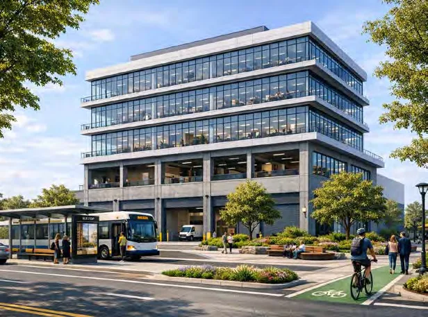
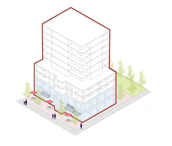
5.2.3 POLICIES
A. Collaborate with Colwood to establish as a regional hub. B. Encourage redevelopment for medium-density mixed-use (office, hotel, research labs). C. Enable industrial viability through flexible design (e.g., high ceiling heights on ground floors).
5.3 HOSPITAL TRANSIT-ORIENTED AREA DESIGNATION
5.3.1 CONTEXT
Designated area west of Victoria General Hospital. Envisioned as a vibrant, high-density mixed-use community supporting hospital expansion and regional rapid transit. Primary modes: transit, cycling, and walking.
5.3.2 PERMITTED HEIGHTS AND DENSITIES
- i) Heights: 10 storeys
- ii) Floor Space Ratio: 3.5*
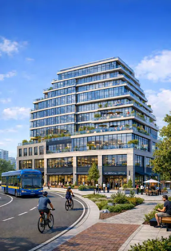
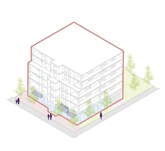
5.3.3 POLICIES
A. Encourage redevelopment. B. Prioritize high-density mixed use supporting hospital needs and providing underground parking. C. Promote supportive or affordable housing options.
Transit Service Types in View Royal:
- Rapid Transit: Every 15 mins (7am-10pm, 7 days/week).
- Frequent Transit: Every 15 mins (7am-7pm, Mon-Fri).
5.4 NEIGHBOURHOOD VILLAGE DESIGNATION
5.4.1 CONTEXT
Situated near Atkins and Hospital Mobility Hubs to support rapid transit. Includes multi-unit housing and community commercial (schools, grocery). Complies with Housing Statutes Amendment Act for lands within 201-400m of prescribed bus exchanges.
5.4.2 PERMITTED HEIGHTS AND DENSITIES
- i) Height: 6 storeys
- ii) Floor Space Ratio: 2.5*
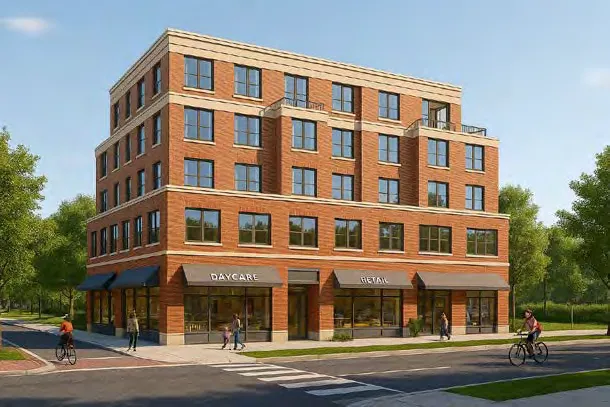
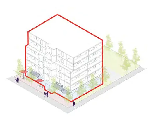
5.4.3 POLICIES
A. Support multi-unit mid-rise residential. B. Support commercial and civic uses (schools, grocery). C. Enable better transit service through increased density. D. Create safe linkages to parks and trails (e.g., Atkins Hub to Price Bay). E. Promote as vibrant hubs with outdoor seating.
5.5 NEIGHBOURHOOD CENTRE DESIGNATION
5.5.1 CONTEXT
Small-scale mixed use serving local needs at Island Highway and Helmcken Road. Envisioned to provide multi-unit housing and community-serving commercial.
5.5.2 PERMITTED HEIGHTS AND DENSITIES
- i) Height: 6 storeys
- ii) Floor Space Ratio: 3.0
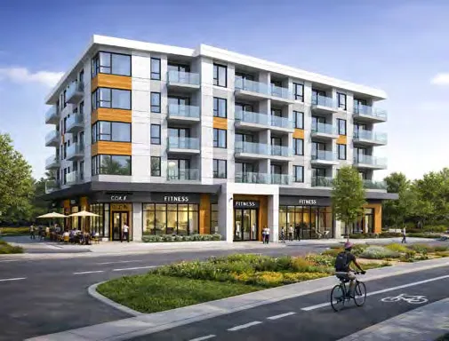
5.6 COMMERCIAL DESIGNATION
5.6.1 CONTEXT
Provides local jobs and services, primarily along Admirals Road and Island Highway corridors.
5.6.2 PERMITTED HEIGHTS AND DENSITIES
- i) Heights: 4 storeys
- ii) Floor Space Ratio: 2.5
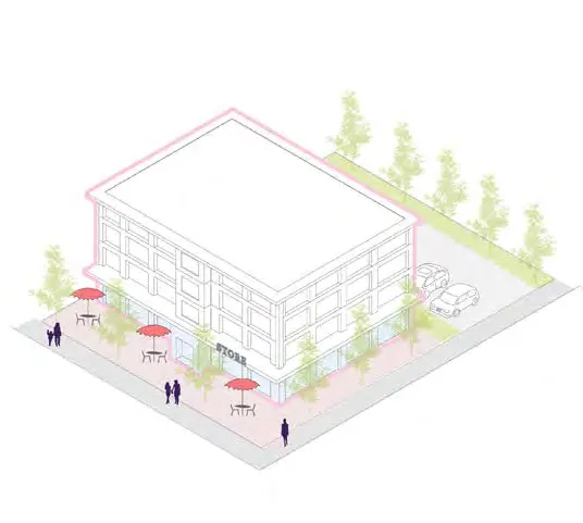
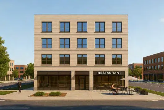
5.6.3 POLICIES
A. Promote Admirals Road Corridor as a commercial centre. B. Review applications for urban design quality and active street frontages. C. Support public space enhancements (sidewalk widening, public art, wayfinding).
5.7 INTENSIVE MIXED USE DESIGNATION
5.7.1 CONTEXT
Intended for townhouses and low-rise apartments with ground-floor commercial. Primary location: current Fort Victoria RV Park site. Support for up to 4 storeys.
5.7.2 PERMITTED HEIGHTS AND DENSITIES
- i) Height: 4 storeys
- ii) Floor Space Ratio: 2.5
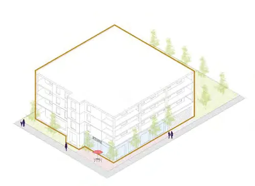
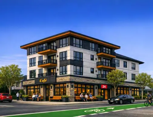
5.7.3 POLICIES
A. Support low-rise mixed use. B. Include retail, restaurants, medical offices, or civic uses. C. Ensure pedestrian-friendly street frontages and strong connections to mobility hubs.
5.8 NEIGHBOURHOOD MIXED USE DESIGNATION
5.8.1 CONTEXT
Supports low-rise residential, commercial, and civic uses at nodes like Eagle Creek Village and Lakeside Village. Crucial for creating communities where needs are met without passenger vehicles.
5.8.2 PERMITTED HEIGHTS AND DENSITIES
- i) Height: 3 storeys
- ii) Floor Space Ratio: 1.5
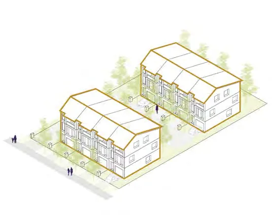
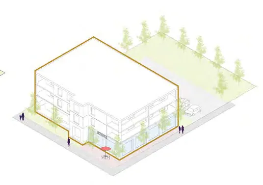
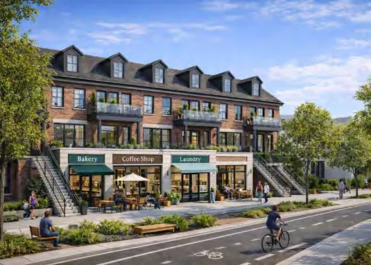
5.8.3 POLICIES
A. Support low-rise developments (townhouses/apartments). B. Include neighbourhood-serving commercial (medical office, daycare). C. Encourage development along Island Hwy/Helmcken node for transit support. D. Review for pedestrian safety and lot consolidation opportunities.
5.9 MIXED RESIDENTIAL DESIGNATION
5.9.1 CONTEXT
Permits detached/attached dwellings including duplexes, rowhouses, house-plexes, and apartments. Goal: increase housing choices near key corridors.
5.9.2 PERMITTED HEIGHTS AND DENSITIES
- A. Apartments: 4 storeys; 1.6 FSR
- B. All other uses: 3 storeys; 1.25 FSR
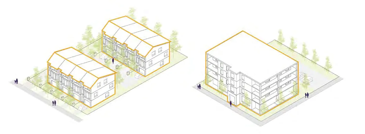
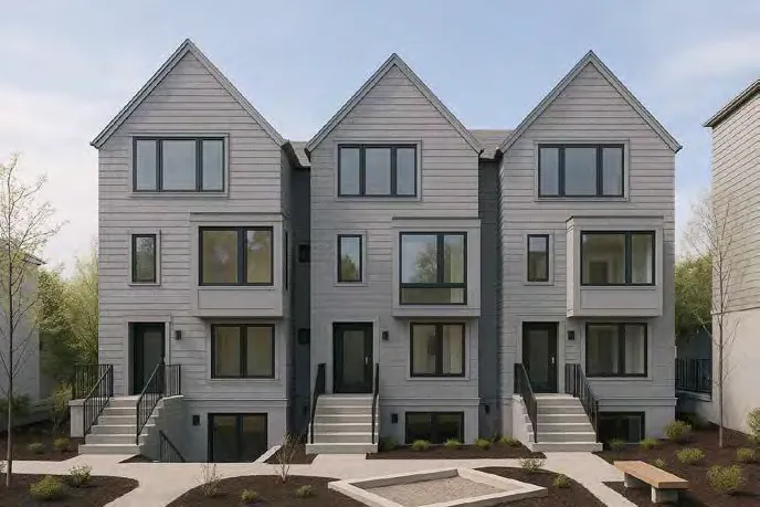
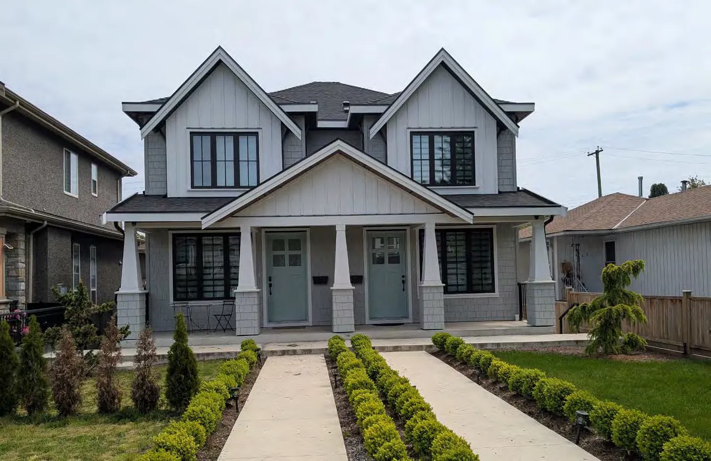
5.9.3 POLICIES
A. Support housing options like apartments and house-plexes in established areas. B. Review for pedestrian safety and street frontage quality. C. Consider lot consolidation on Island Highway. D. Explore natural restoration of Christie Point in response to sea-level rise.
5.10 SMALL-SCALE MULTI-UNIT HOUSING DESIGNATION
5.10.1 CONTEXT
Supports housing types like duplexes, garden suites, and house-plexes up to 3 storeys. Key for addressing demand for ground-oriented housing in established low-density areas.
5.10.2 PERMITTED HEIGHTS AND DENSITIES
- i) Building heights up to 3 storeys
- ii) Maximum density of up to 6 dwelling units
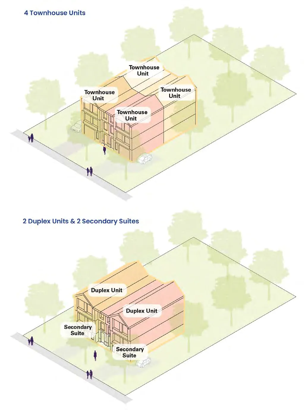
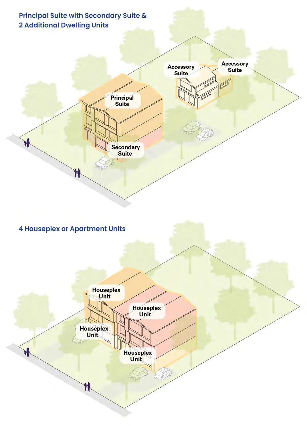
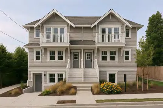
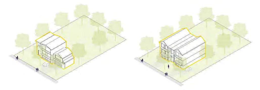
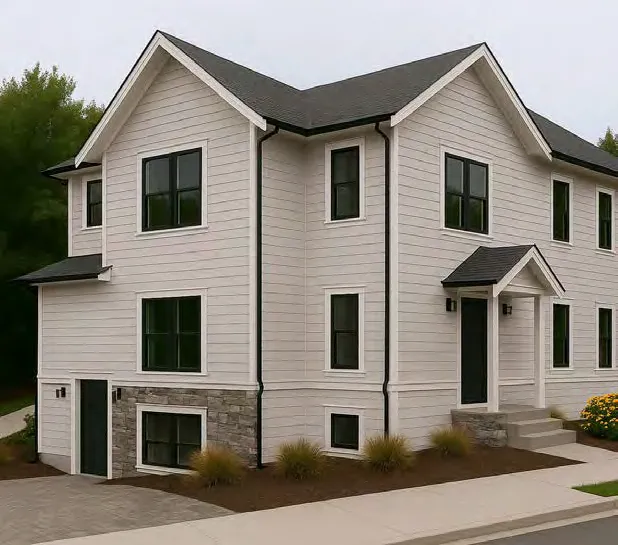
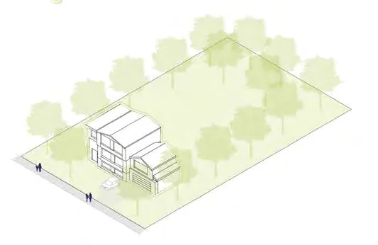
5.10.3 POLICIES
A. Support Small-Scale forms (house-plexes, townhouses, garden suites). B. Design to complement existing neighbourhoods. C. Strengthen connections through urban design and transit support. D. Adhere to redevelopment policies in 5.1.5.
5.11 RESIDENTIAL DESIGNATION
5.11.1 CONTEXT
Consists of detached houses, rowhouses, and house-plexes with separate ground-level entrances. These lots do not meet provincial legislative criteria for SSmu housing.
5.11.2 PERMITTED HEIGHTS AND DENSITIES
- i) Building heights up to 2.5 storeys
- ii) Maximum density of up to 0.6 Floor Space Ratio
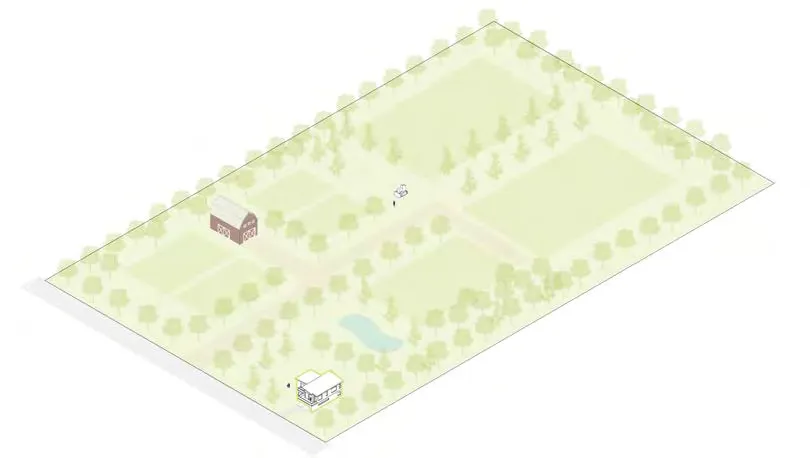
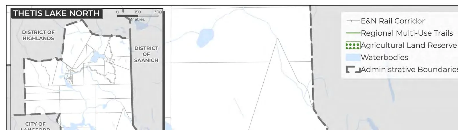
5.11.3 POLICIES
A. Support low-density forms (detached residential, garden suites). B. Ensure development complements existing neighbourhoods. C. Adhere to redevelopment policies in 5.1.5.
5.12 LARGE LOT RESIDENTIAL DESIGNATION
5.12.1 CONTEXT
Detached homes on large lots within established neighbourhoods. Limited redevelopment anticipated.
5.12.2 PERMITTED HEIGHTS AND DENSITIES
- i) Building heights up to 2.5 storeys
5.12.3 POLICIES
A. Support detached homes and secondary suites. B. Design to complement existing character.
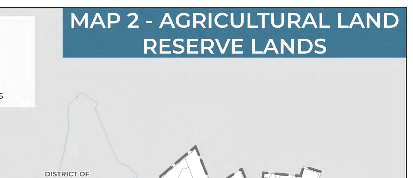
5.13 RURAL DESIGNATION
5.13.1 CONTEXT
Applies to lands used for agriculture, recreation, or large lot residential, primarily north of Thetis Lake. Servicing is limited.
5.13.2 PERMITTED HEIGHTS AND DENSITIES
- i) Building heights up to 2 storeys
- ii) Max density of 1 unit per 10 hectares
5.13.3 POLICIES
A. Adhere to Urban Containment Boundary. B. Maintain farming and low-density residential as predominant use. C. Prioritize rural character.
[Image 61 repeated: diagram of a rural lot with a house and outbuildings]
5.14 COMMUNITY FACILITY DESIGNATION
5.14.1 CONTEXT
Existing government and publicly-owned facilities (schools, hospital, community halls, libraries, park and rides). Includes Atkins Mobility Hub.
5.14.2 PERMITTED HEIGHTS AND DENSITIES
- Heights vary from site to site.
5.14.3 POLICIES
A. Promote variety of public and non-profit uses. B. Retain and expansion of community facility lots. C. Ensure reasonable accessibility for all. D. Support Atkins Hub rapid transit service. F. Prioritize retention of ownership as community or non-profit during redevelopment.
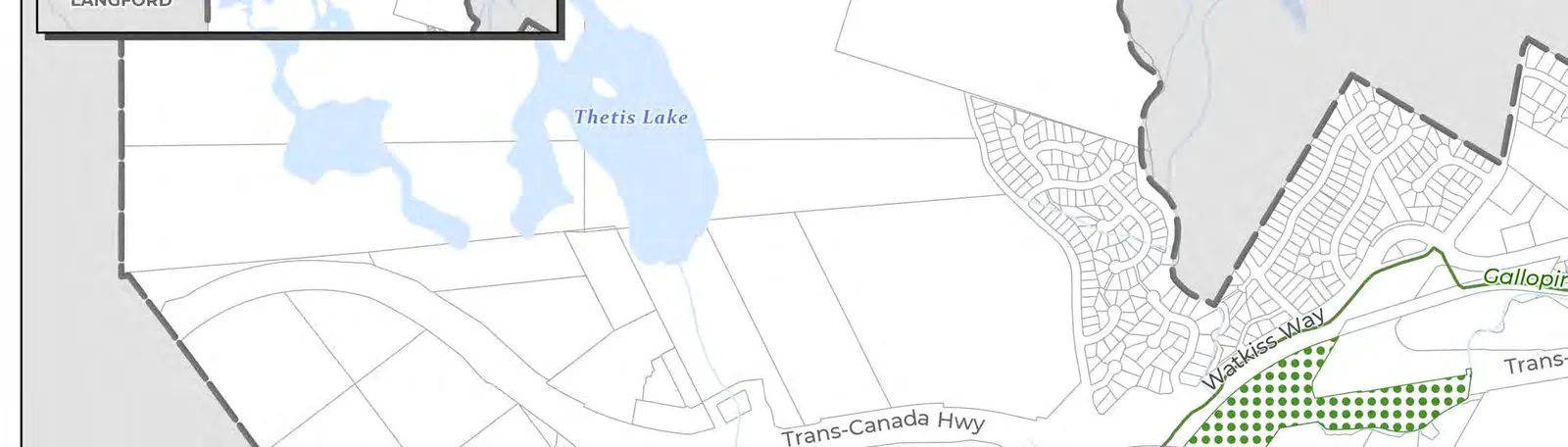
5.15 PARKS, TRAILS AND OPEN SPACE DESIGNATION
5.15.1 CONTEXT
Applies to active/passive parks, trails, conservation areas, and waterfront. Currently three ALR lots in View Royal: View Royal Park, Trans-Canada Hwy ROW, and Chilco Park.
5.15.2 PERMITTED HEIGHTS AND DENSITIES
- Permissions are not applicable.
5.15.3 POLICIES
A. Prioritize green space over parking in variance requests. B. Protect natural environment along Millstream Creek. C. Support preservation of Thetis Lake and Mill Hill Regional Parks. E. Collaborate with CRD to expand regional park boundaries.
MAP 2: AGRICULTURAL LAND RESERVE LANDS
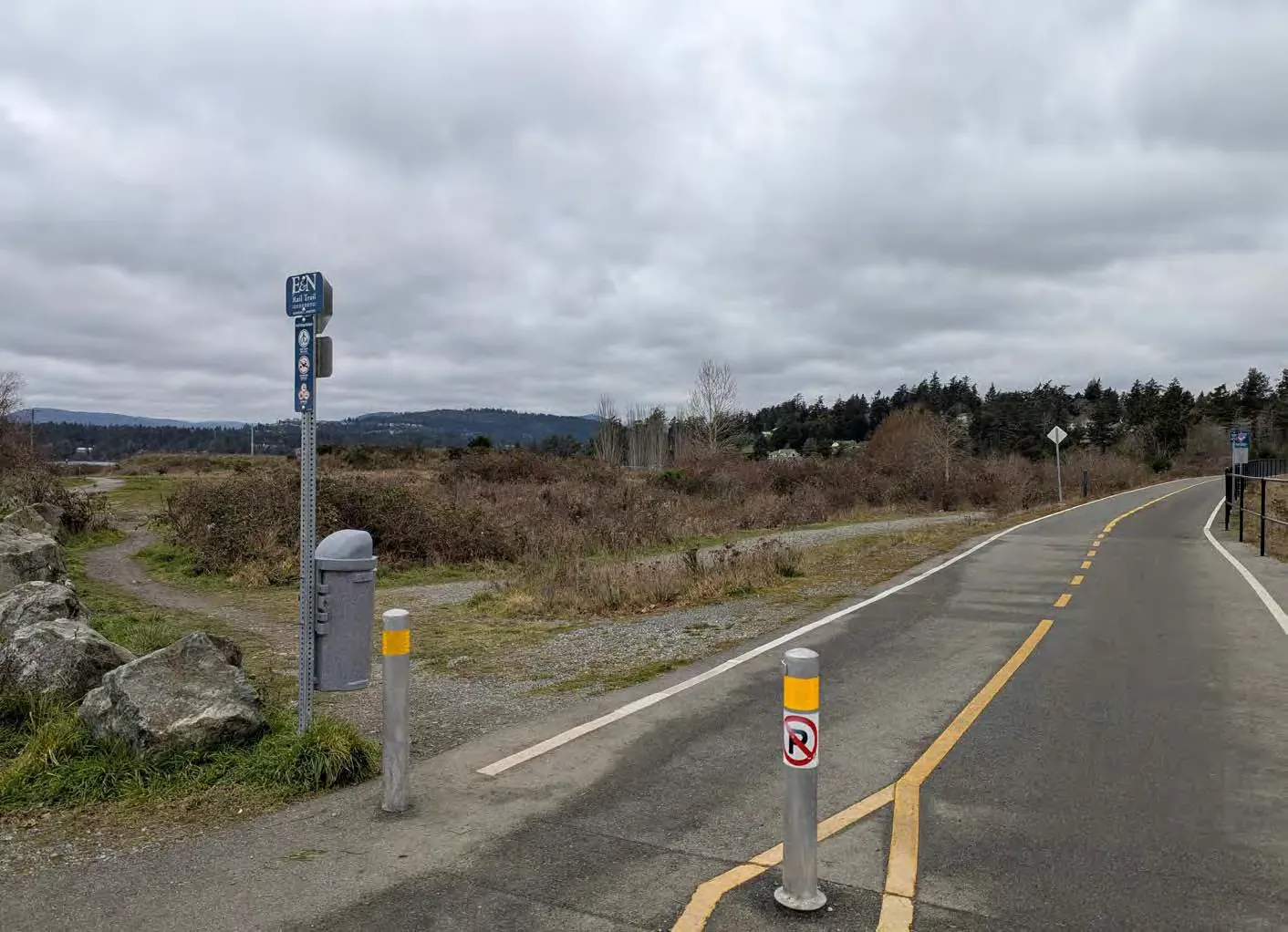
5.16 URBAN RESERVE DESIGNATION
5.16.1 CONTEXT
Land adjacent to Xʷsepsəm Nation reserve 644, planned to be transferred to the Nation within the lifespan of this OCP, following provincial plans for Thetis Cove.
5.16.2 PERMITTED HEIGHTS AND DENSITIES
- Permissions are not applicable.
5.16.3 POLICIES
A. Collaborate with Nations to advance reconciliation through land return. B. Review Town's boundary following the transfer.
Part Three: Policies
- 6.0 Housing (91)
- 7.0 Transportation and Mobility (97)
- 8.0 Community Infrastructure and Services (111)
- 9.0 Economic Development (120)
- 10.0 Natural Environment (124)
- 11.0 Climate Action and Sustainability (136)
- 12.0 Parks, Trails and Recreation (141)
- 13.0 Community Well-Being and Culture (147)
- 14.0 Reconciliation (154)
6.0 Housing
6.1 CONTEXT
Housing is challenged by rising costs, demographic shifts, and limited land. Many residents, including downsizing seniors and families, lack appropriately sized homes.
2024 Interim Housing Needs Report Summary (2021 Data):
- 0.90% of owner households in Core Housing Need.
- 9% of renter households in Core Housing Need.
- 174 units needed by 2041 to meet core housing need.
- 4,189 units estimated necessary by 2050 to meet overall growth and demand.
Most new development will occur through infill and redevelopment, requiring expanded supply of ground-oriented, family-friendly housing (townhouses, duplexes, house-plexes).
6.2 OBJECTIVES
- 6.2.1 Housing Diversity and Supply: Support overall supply including affordable and non-market rental.
- 6.2.2 Age-Friendly Housing: Encourage design allowing residents to age-in-place.
- 6.2.3 Preserve Stable Long-Term Rentals: Seek to preserve existing rental stock.
- 6.2.4 Housing for People: Provision of housing types for families, seniors, and diverse abilities.
- 6.2.5 Housing Partnerships: Strengthen ties with BC Housing and CRHC.
6.3 POLICIES
6.3.1 GENERAL
A. Update Housing Needs Report every five years. B. Prioritize review for below-market, rental, supportive, or age-friendly housing.
6.3.2 HOUSING SUPPLY
A. Expedite approval processes through delegation of authority. B. Research non-traditional ownership (co-ops, mass timber, prefabrication). D. Enforce Short-Term Rental regulations to preserve long-term supply. E. Consider pre-zoning multi-unit sites for the next Zoning Bylaw update.
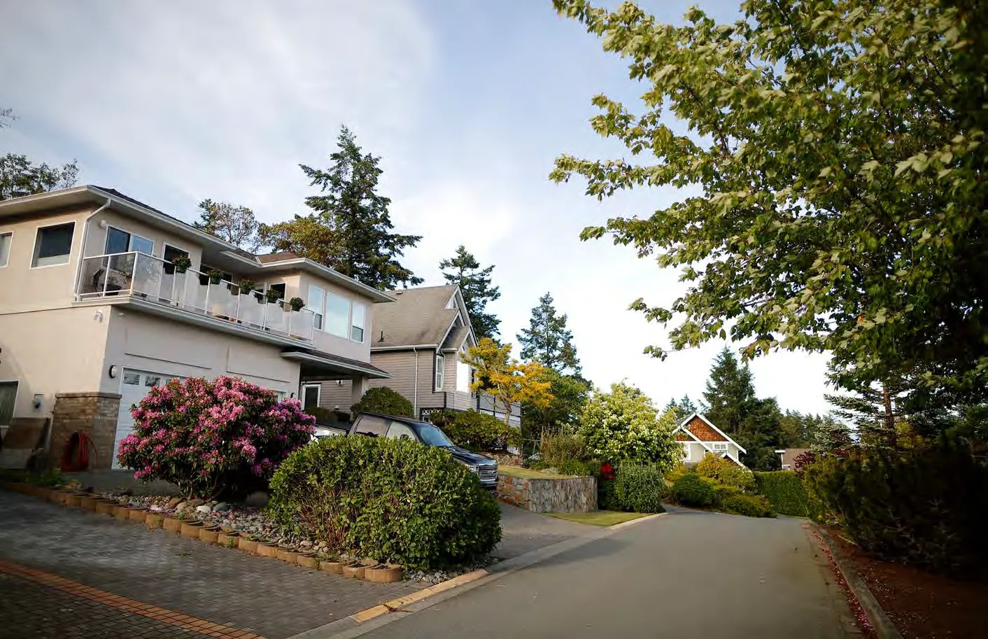
6.3.3 AFFORDABLE AND RENTAL HOUSING
A. Analyze viability of density bonusing and inclusionary zoning. B. Encourage developments of 6+ storeys to provide 5% below-market units. C. Protect affordable rentals during redevelopment (aim for same quantity/size). D. Regularly review Tenant Assistance Policy. G. Explore incentives for non-market housing (tax exemptions, reduced parking, fee waivers).
6.3.4 FAMILY HOUSING
A. Require developments of 4+ storeys to allocate: * i) min 30% units as 2-bedroom or more. * ii) min 10% units as 3-bedroom or more.
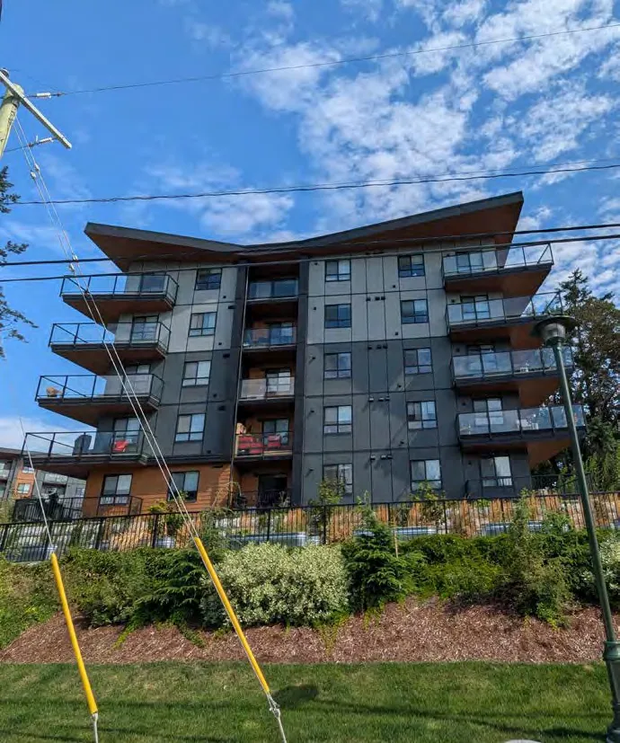
6.3.5 ACCESSIBILITY IN HOUSING
A. Promote Universal Access Design in common spaces. B. Aim for 10% of units in new 4+ storey developments to be accessible or adaptable.
6.3.6 COORDINATION AND PARTNERSHIPS
A. Strengthen partnerships for affordable and supportive housing. C. Continue financial contributions to the Regional Housing Trust Fund.
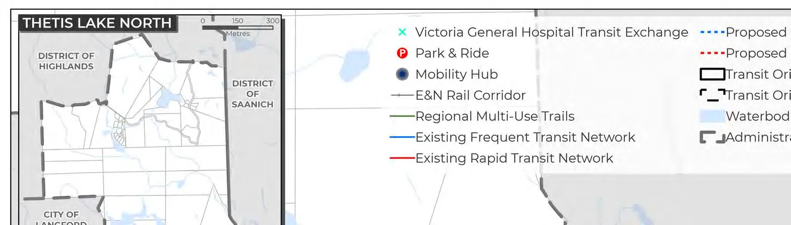
7.0 Transportation and Mobility
7.1 CONTEXT
View Royal's central location makes it an integral connection between the West Shore and Greater Victoria. Key corridors include Island Highway, Admirals Road, Helmcken Road, and the Western Gateway. Transit includes BC Transit’s 95 Blink Rapid Bus and route 14.
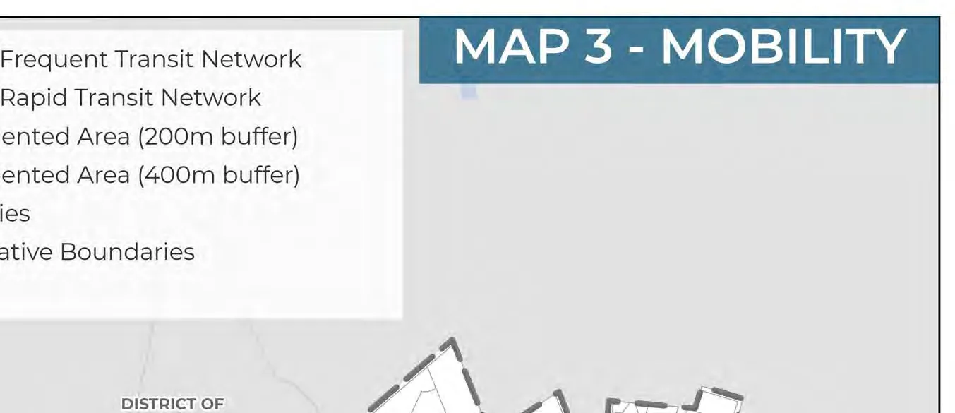
Density will be concentrated along corridors and mobility hubs (Atkins Hub and Hospital Hub) to enable alternate modes of transport. Mobility hubs promote transit, walking, and rolling through enhanced public realm design.
OCP Goals achieved:
- Mobility & Connectivity
- Community Well-Being
- Climate Action and Resilience
- Regional Partnerships
- Sustainable Service Delivery and Asset Management
Definition: Mobility Hub: A strategic location offering connections to multiple modes (transit, cycling, walking, vehicles), usually central to medium- to high-density development.
MAP 3: MOBILITY
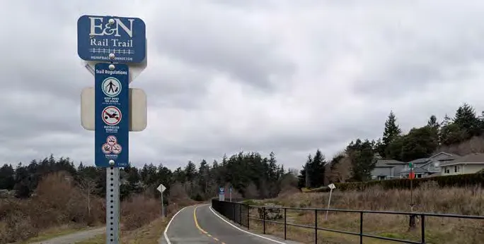
Legend Highlights:
- Mobility Hubs: Atkins Hub, Hospital Hub.
- Transit: Existing Frequent/Rapid networks, Proposed Frequent/Rapid networks.
- Transit-Oriented Areas: 200m and 400m buffers around hubs.
- Trails: Galloping Goose Regional Trail, E&N Rail Trail.
7.2 OBJECTIVES
- 7.2.1 Building a Connected Multimodal Community: interconnected active transport systems.
- 7.2.2 Strengthen Regional Connections: collaborate with neighbors to improve multi-modal links.
- 7.2.3 Equitable, Safe, and Efficient Mobility.
- 7.2.4 Prioritize Resident Needs: mitigate impacts of regional commuter traffic.
- 7.2.6 Climate Action through Transportation Choice: reduce emissions via transit and active options.
7.3 POLICIES
7.3.1 GENERAL
A. Modal Priority Hierarchy: 1. Foundation Access (Pedestrians/Mobility Aids/Emergency) 2. High-Capacity Mobility (Transit) 3. Active Mobility (Cycling/Micro-mobility) 4. Efficient Shared Use (Shared vehicles) 5. Economic Backbone (Commercial vehicles) 6. Low Priority (Private vehicles)
B. Mode Share Targets by 2050:
| Mode | 2022 Mode Share | 2050 Target |
|---|---|---|
| Walking, Cycling, Micro-mobility | 12% | 25% |
| Public Transit | 6% | 15% |
| Private Vehicle | 80% | 60% |
7.3.2 ACCESSIBILITY AND INCLUSIVITY
A. Apply universal access design to sidewalks and transit. B. Prioritize improvements in areas with higher concentrations of equity-deserving people.
7.3.3 TRANSIT
A. Collaborate with BC Transit to prioritize high-demand neighbourhoods. C. Ensure bus stops include seating, shade, and weather protection.
2022 Regional Household Travel Survey Analysis:
- Auto Driver: 61% (21,800)
- Auto Passenger: 19% (6,600)
- Transit: 6% (2,300)
- Bicycle/Micro-mobility: 6% (2,200)
- Walk: 6% (2,300)
- Other: 2% (700)
7.3.4 ACTIVE TRANSPORTATION
A. Eliminate barriers by creating an extensive network (see Maps 4, 5, 6). B. Separate active users from vehicular traffic on busy streets where possible. E. Advocate for trail widening and lighting along the Galloping Goose. F. Provide accessible wayfinding.
MAP 4: EXISTING ACTIVE TRANSPORTATION NETWORK
MAP 5: FUTURE PEDESTRIAN NETWORK
MAP 6: FUTURE CYCLING NETWORK
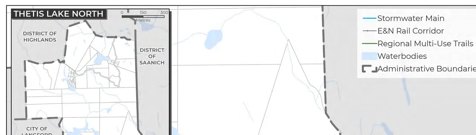
7.3.5 STREET NETWORK
A. Reduce serious injuries and fatalities through infrastructure and enforcement. D. Street Classification (Map 7): * Highway: Regional trips (MOTT jurisdiction). * Arterial: Longer-distance trips; higher volumes/speeds. * Collector: Connect neighbourhoods to arterials. * Local: Limited volume; slow speeds. E. Consider resident needs over regional through-traffic. J. Collaborate with Colwood to improve multi-modal transport along the Western Gateway.
MAP 7: STREET CLASSIFICATION
7.3.6 REGIONAL TRANSPORTATION PROJECTS
A. Collaborate on a vision for the future use of the E&N corridor. B. Advocate for potential regional Light Rail Transit.
7.3.7 PARKING + TRANSPORTATION DEMAND MANAGEMENT (TDM)
A. Seek to meet demand through on-site parking and TDM to reduce reliance on private cars. C. Support reduced off-street parking where sustainable infrastructure is provided. G. Work with regional partners to implement EV charging infrastructure.
8.0 Community Infrastructure and Services
8.1 CONTEXT
Sewer System: Comprises pump stations (Map 8) that pump waste from Craigflower Station to McCauley Point. Serves lands within the Urban Containment Boundary.
Stormwater System: Commonly called 'drainage' (Map 9), uses open ditches and culverts draining into creeks or Esquimalt Harbour.
Water System: Connected to CRD regional distribution (Map 10). Supply mains carry water from Sooke Reservoir.
Solid Waste: Household waste collected weekly; garbage to Hartland Landfill. Organics composted; recycling provided via Blue Box Program.
OCP Goals achieved:
- Growth Management & Community Character Preservation
- Regional Partnerships
- Sustainable Service Delivery and Asset Management
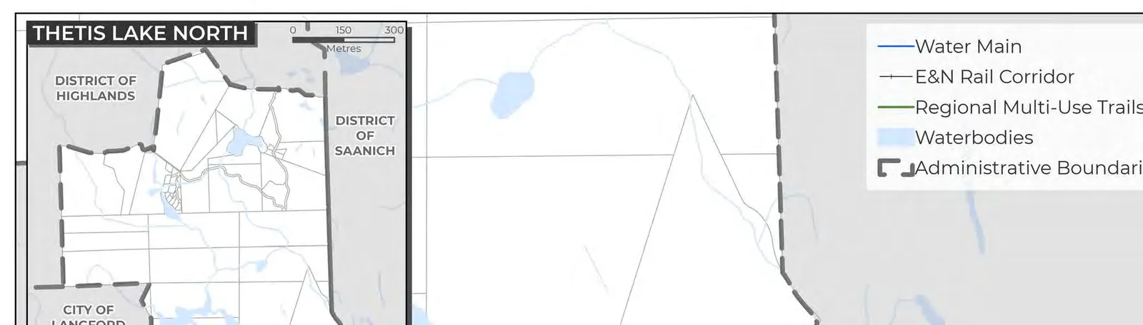
MAP 8: SEWER SERVICING SYSTEM
MAP 9: STORMWATER SERVICING SYSTEM

MAP 10: WATER SERVICING SYSTEM
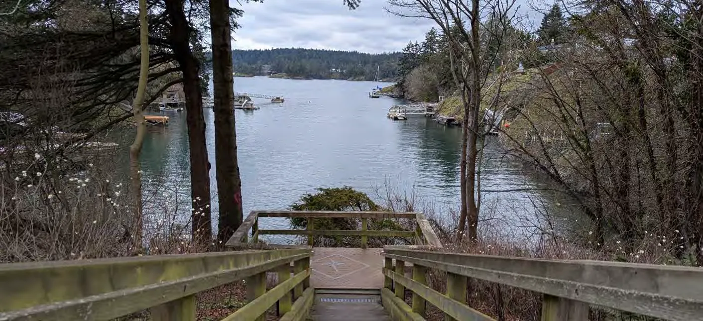
8.2 OBJECTIVES
- 8.2.1 Sustainable Infrastructure: Renewal decisions guided by asset management plans.
- 8.2.2 Fiscal Responsibility: equitably funded investments across generations.
- 8.2.4 Infrastructure Investment, Growth, and Coordination: align with future land use.
- 8.2.6 Climate Change Impacts: consider projections in design and maintenance.
8.3 POLICIES
8.3.1 GROWTH MANAGEMENT AND DEVELOPMENT
A. Prioritize investments supporting new housing, employment, and civic uses. B. Ensure development occurs only where appropriate systems with sufficient capacity exist. C. Extend services to un-serviced areas only if built in tandem with new development and financed by the developer.
8.3.2 INFRASTRUCTURE INVESTMENT
A. Use Asset Management Program to understand required reserve contributions. D. Ensure cost of investment is borne by those who benefit most (e.g., developer-funded upgrades).
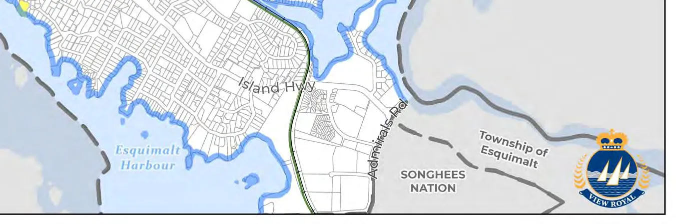
8.3.3 INFRASTRUCTURE STANDARDS
A. Align design with Master Municipal Construction Documents and best engineering practice. B. Aim to advance Green Infrastructure (e.g., rain gardens, permeable pavement). D. Facilitate maintenance programs to understand and reduce inflow and infiltration (I&I) into sanitary sewers.
8.3.4 INFRASTRUCTURE FOR A HEALTHY ENVIRONMENT
A. Upgrades should enhance resiliency to climate change and disasters. C. Work with neighbors on watershed management and drinking water protection. D. Support stormwater practices emphasizing infiltration to minimize negative effects on Esquimalt Harbour and local creeks. G. Investigate opportunities like rainwater collection and greywater reuse.
8.3.5 SOLID WASTE MANAGEMENT
A. Maintain three-stream separation (garbage, recycling, composting). C. Support initiatives to reduce construction waste.
9.0 Economic Development
9.1 CONTEXT
View Royal has potential to become a regional economic hub due to its central CRD location and access to HWY 1, Galloping Goose, and E&N trails. Victoria General Hospital expansion and the Western Gateway corridor are key drivers. Conditions support growth in health services, tech, tourism, and commercial accommodations.
OCP Goals achieved:
- Economic Development
- Regional Partnerships
9.2 OBJECTIVES
- 9.2.1 Local Investment and Economic Growth: attract investment in high-density designations.
- 9.2.2 Creating a Destination Community: provide unique local/regional tourist destinations.
- 9.2.4 Support for Local Business: traditional businesses and mobile vendors.
- 9.2.5 Invest in Community Health and Well-Being.
- 9.2.6 Recreational Tourism: capitalize on parks and trails; attract hotel development.
9.3 POLICIES
9.3.1 STRENGTHENING THE LOCAL ECONOMY
A. Engage business community and Nations to identify an economic vision. C. Leverage assets like Portage Park and Thetis Lake for tourism opportunities. D. Explore expanding the health services industry surrounding Victoria General Hospital to create a medical services hub. H. Streamline processing times for business licenses. J. Understand land use conditions needed to support light industry in the Western Gateway. M. Explore opportunities and partnerships to attract hotel development. N. Explore incentives like parking reductions or flexible zoning for hotels. O. Encourage hotel development near VGH and along the Western Gateway. P. Support compatible home-based businesses.
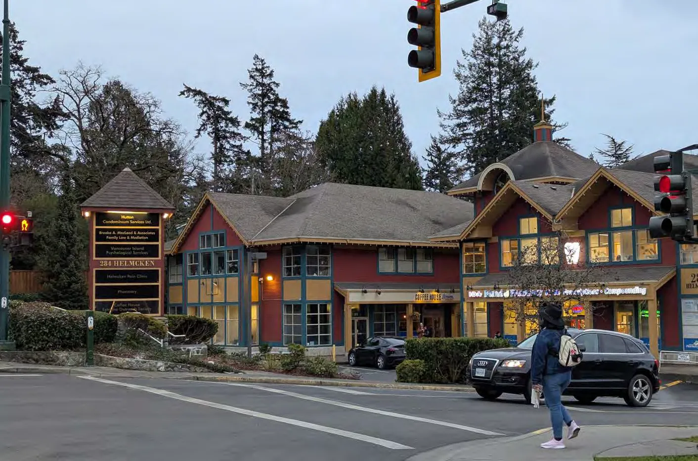
10.0 Natural Environment
10.1 CONTEXT
View Royal features marine ecosystems (Esquimalt Harbour, Portage Inlet), freshwater estuaries (Craigflower, Hospital, Millstream Creeks), and terrestrial ecosystems (Thetis Lake and Mill Hill Parks). Natural hazards include flooding, tsunamis, steep slopes (>30%), and wildfires.
Development in hazard zones is subject to Development Permit Area Guidelines (Part 5). Steep slopes and tsunami zones are shown on Maps 13 and 14.
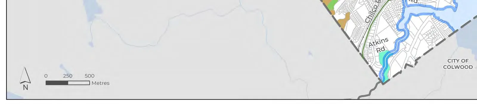
Access to nature is a community priority. The Town’s Urban Forest Strategy (2026) establishes a tree canopy coverage goal of 30%.
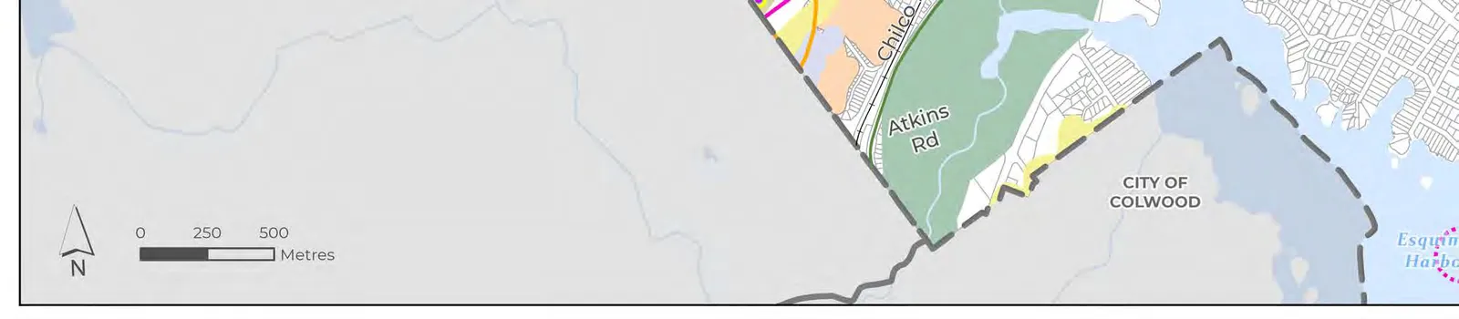
10.2 OBJECTIVES
- 10.2.1 Balanced Growth and Natural Environment Protection.
- 10.2.2 Public Safety and Hazards: mitigate risk from flooding, tsunamis, wildfires, etc.
- 10.2.4 Urban Forests: Identification and protection to achieve the 30% goal.
- 10.2.5 First Nations Knowledge and History: integrate into environmental planning.
10.3 POLICIES
10.3.1 GENERAL
A. Encourage community involvement (habitat restoration, tree planting, clean-up days).
10.3.2 ENVIRONMENTAL PROTECTION AND RESTORATION
A. Conservation strategies include DPA designations and park land acquisition at time of rezoning. F. Support adaptive ecosystem management and evidence-based decision making. G. Protection of shorelines must align with Riparian Area Protection Regulation. H. Limit resource extraction and agriculture north of Thetis Lake Regional Park.
MAP 11: ENVIRONMENTALLY SENSITIVE AREAS
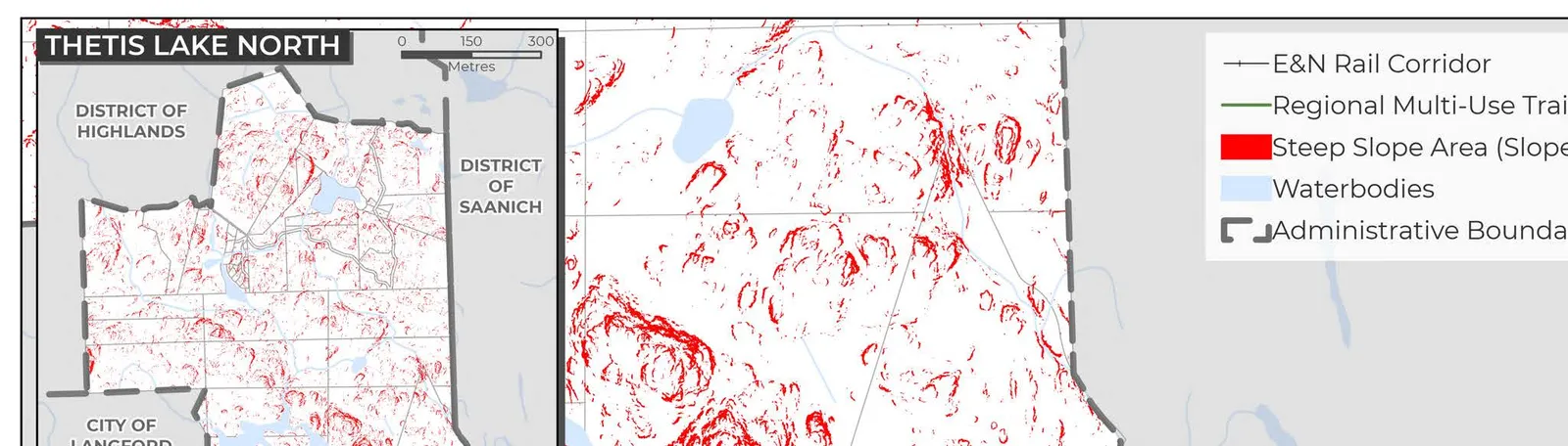
MAP 12: SPECIES AT RISK

MAP 13: STEEP SLOPES
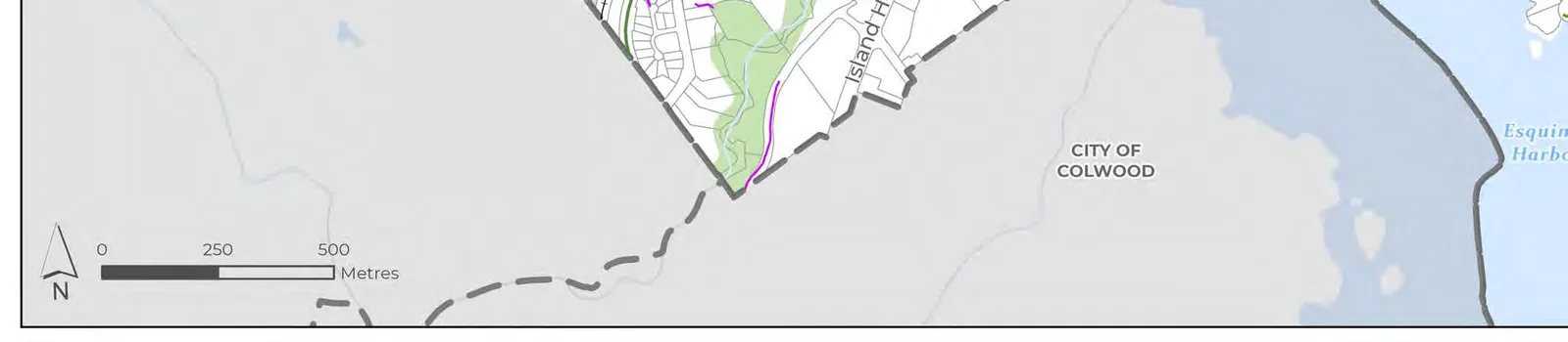
MAP 14: TSUNAMI HAZARD ZONES
(Page placeholder for Map 14)
10.3.3 HABITAT PROTECTION AND ENHANCEMENT
A. Identify opportunities for wildlife corridors. D. Strive to enhance habitat areas (e.g. in-stream works) for new developments.
10.3.4 WATERSHEDS
A. Collaborate with CRD on the Gorge Waterway Initiative. B. Support watershed plans for Millstream, Hospital, and Craigflower Creeks. C. Identify opportunities to daylight channeled watercourses.
10.3.5 URBAN FOREST
A. achieve a 30% canopy coverage target for the Town by 2045. G. Prioritize installation of boulevard trees within 400m of frequent transit stops.
10.3.6 VEGETATION AND LANDSCAPING
A. Protect existing and plant new climate-adaptive native species. B. Promote removal of invasive species.
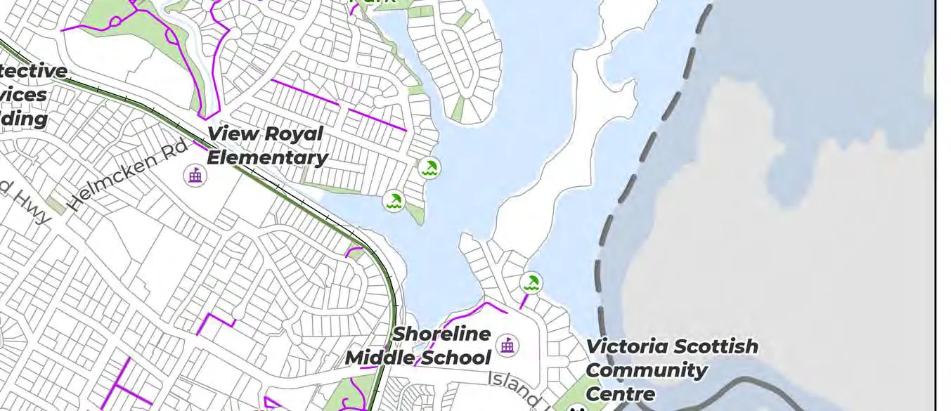
10.3.7 NATURAL HAZARDS RISK MITIGATION AND EMERGENCY RESPONSE PRACTICES
A. Continue to designate DPA hazard areas (wildfire, tsunamis, floods, steep slopes). B. Integrate FireSmart principles into Town policies. F. Prioritize emergency access and egress routes. H. Consider a 2.0 m global sea level rise relative to year 2000 for high-value/density planning decisions. J. Explore special planning areas for flood-prone zones. O. Promote use of West Shore Alert for natural hazard notifications.
11.0 Climate Action and Sustainability
11.1 CONTEXT
The Town is a signatory to the BC Climate Action Charter and is committed to becoming carbon-neutral. Proactive adaptation is needed for wildfire smoke, extreme heat, and sea level rise.
11.2 OBJECTIVES
- 11.2.1 Net-Zero Emissions: Achieve by 2050.
- 11.2.3 Coastal Climate Adaptation and Resilience: respond to coastal flooding and sea-level rise.
- 11.2.4 Climate Conscious Development: Approach development through a low-carbon lens.
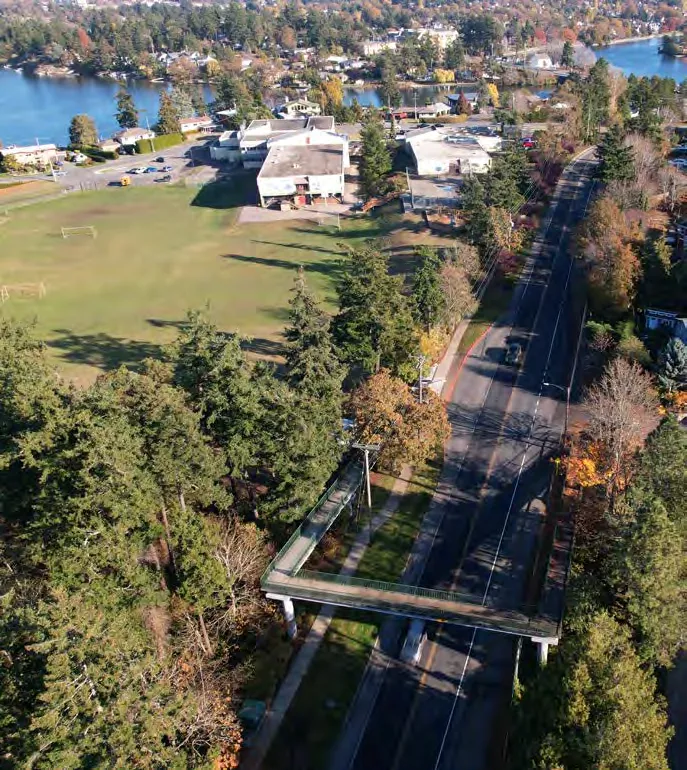
11.3 POLICIES
11.3.2 REDUCTION OF GREENHOUSE GAS EMISSIONS
A. GHG Targets: 45% reduction below 2007 levels by 2030; 100% reduction by 2050. D. Explore creation of a Corporate Energy and Emissions Strategy. E. Transition Town fleet to electric/low-emission vehicles.
11.3.3 BUILT ENVIRONMENT
B. Require new development to meet or exceed BC Energy and Zero Carbon Step Codes. E. Encourage decarbonization of existing buildings (fuel switching, deep retrofits).
11.3.5 CLIMATE ADAPTATION
C. Mitigate wildfire risk by implementing Community Wildfire Resiliency Plan recommendations and applying a Wildfire Interface Hazard DPA. G. Consider a Comprehensive Sea Level Rise Adaptation Plan.
12.0 Parks, Trails and Recreation
12.1 CONTEXT
Amenities include regional parks (Thetis Lake, Mill Hill), neighbourhood parks (View Royal Park, Portage Park), and regional trails (Galloping Goose, E&N). Programming is provided via partnerships at Juan de Fuca and Pearkes Recreation Centres.
12.2 OBJECTIVES
- 12.2.1 Healthy, Equitable, and Safe Parks.
- 12.2.5 Level of Service: sustainable delivery within financial capacity.
MAP 15: PARKS, OPEN SPACES, TRAILS, AND COMMUNITY FACILITIES

12.3 POLICIES
12.3.1 GENERAL
E. Target: Achieve a minimum of 5.0 hectares (10 acres) of parkland per 1,000 people, or residents living within a 400 m radius (5-minute walk) of usable park space. G. Incorporate Universal Access Design (UAD).
12.3.2 PARKLAND ACQUISITION
A. Prioritize acquisition in neighbourhoods where supply is deficient. B. Pursue parkland dedication at time of rezoning or subdivision.
12.3.3 PARK IMPROVEMENTS
C. Support investment in View Royal Park as the Town’s primary park. D. Explore feasibility of providing public washrooms in Town parks.
12.3.4 RECREATION
C. Support non-motorized water recreation (kayaks, paddleboards, canoes) in Esquimalt Harbour and Portage Inlet.
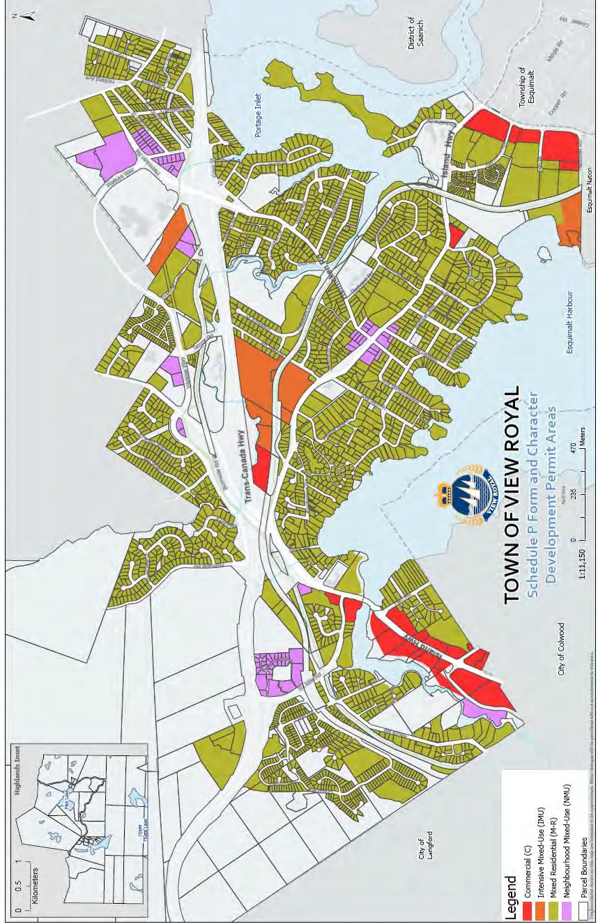
13.0 Community Well-Being and Culture
13.1 CONTEXT
Community well-being is tied to health, safety, and belonging. View Royal hosts Victoria General Hospital and significant heritage sites like Craigflower Manor (1856).
13.2 OBJECTIVES
- 13.2.1 Historic and Cultural Identity.
- 13.2.3 Creating a Diverse, Equitable, and Inclusive Community.
- 13.2.6 The Importance of Youth, Families, and Future Leaders.
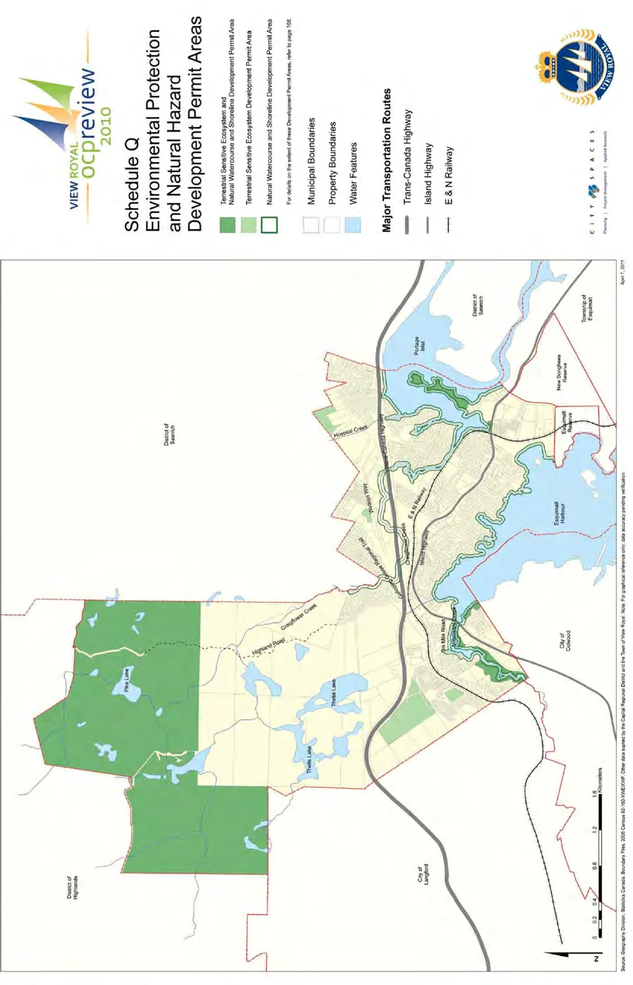
13.3 POLICIES
13.3.1 BUILT, NATURAL, AND CULTURAL HERITAGE
B. Create a Heritage Protection program. E. Support preservation of Craigflower Manor. I. Encourage First Nations art in new developments.
13.3.2 LOCAL GOVERNANCE AND CIVIC ENGAGEMENT
A. Apply International Association of Public Participation (IAP2) principles.
13.3.4 COMMUNITY HEALTH AND SAFETY
A. Collaborate with Island Health. F. Coordinate policing with West Shore RCMP.
13.3.7 FOOD SECURITY
B. Encourage farmers markets and mobile food vendors. C. Support urban agriculture on private/public lands.
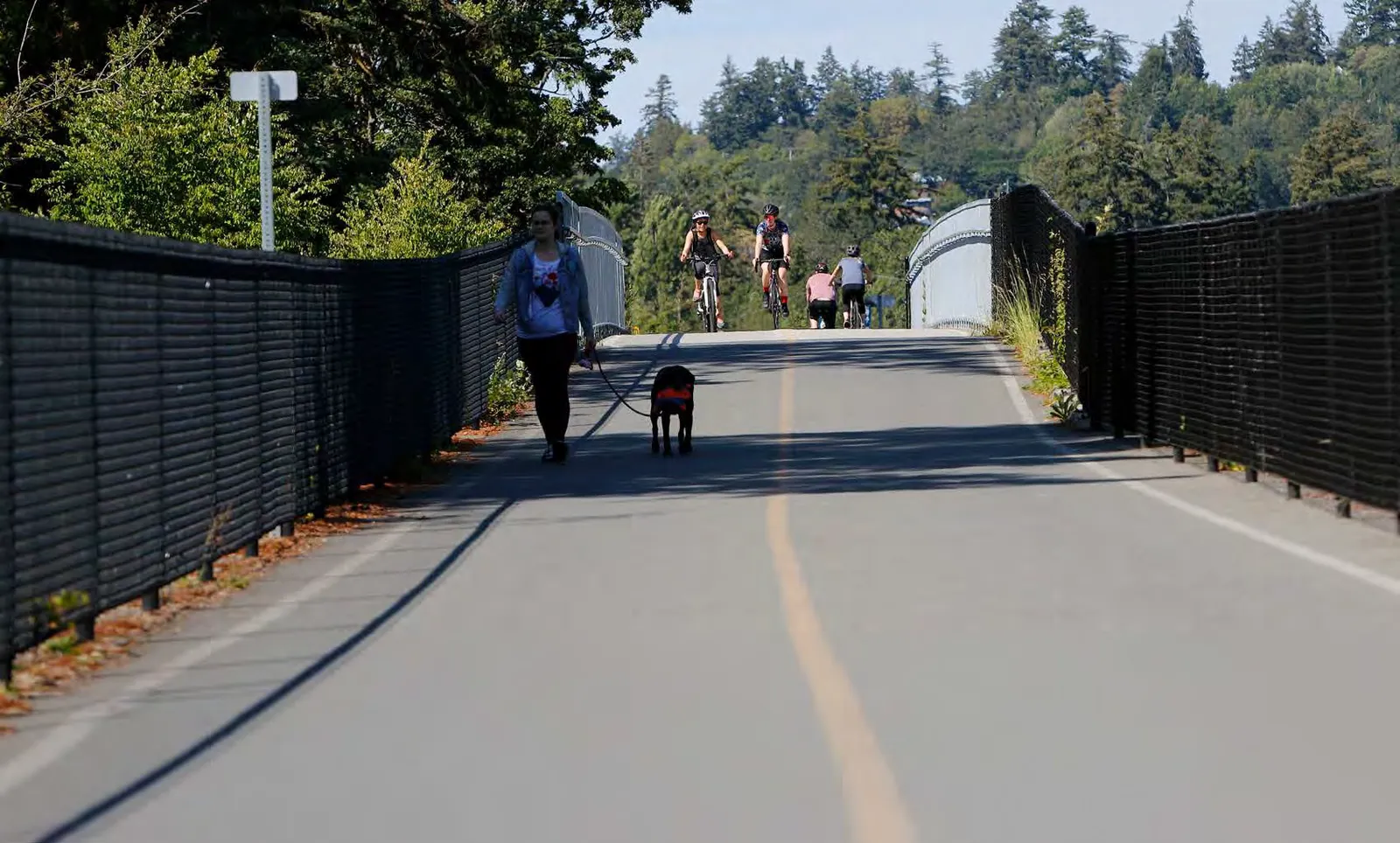
14.0 Reconciliation
14.1 CONTEXT
Reconciliation is a long-term priority based on relationship-building and accountability. View Royal acknowledges injustices experienced by Indigenous Peoples and aims to reflect lək̓ʷəŋən stewardship in planning.
14.2 OBJECTIVES
- 14.2.1 Government-to-Government Relationships.
- 14.2.2 Indigenous Presence, Identity, and Cultural Expression.
14.3 POLICIES
- 14.3.1 General: identify a joint vision; implement protocol agreements.
- 14.3.2 Cultural Awareness: Provide reconciliation programming for residents and staff.
- 14.3.3 Land Use: Proactively engage Nations on initiatives by which they may be affected.
- 14.3.5 Economic Reconciliation: support Nation-led housing and business partnerships.
- 14.3.6 Celebrating Identity: Seek opportunities for Indigenous naming of parks, facilities, and streets.
Part Four: Implementation
15.0 Action Plan
Actions are organized into three timeframes:
- Short-term: 2026 – 2028
- Medium-term: 2029 – 2032
- Long-term: 2033 and beyond
15.2 SHORT-TERM ACTIONS (Select)
| Action | Policy | Department |
|---|---|---|
| Undertake density bonus analysis for Hospital TOA and Western Gateway. | 5.1.3 (h) | Dev. Services |
| Develop an Amenity Cost Charge Bylaw. | 5.1.5 (b) | Engineering/Finance |
| Create a comprehensive Housing Strategy. | 6.3.2 (b) | Dev. Services |
| Create a Tenant Protection Bylaw. | 6.3.3 (e) | Dev. Services |
| Complete the update to the Transportation Master Plan (2026). | 7.3.1 (a) | Engineering |
| Update the Water Master Plan (2026). | 8.3.2 (c) | Engineering |
| Provide Cultural Awareness & UNDRIP Training for all Employees. | 14.3.2 (b) | Admin |
15.3 MEDIUM-TERM ACTIONS (Select)
| Action | Policy | Department |
|---|---|---|
| Create Infill Design Guidelines. | 5.1.5 (k) | Dev. Services |
| Establish a reserve fund for affordable housing. | 6.3.3 (b) | Finance/CRHC |
| Undertake a wayfinding initiative for active transport corridors. | 7.3.4 (f) | Dev. Services/Eng |
| Create an Economic Development and Tourism Strategy. | 9.3.1 | Dev. Services |
| Complete an age-friendly assessment. | 13.3.3 (d) | Dev. Services |
15.4 LONG-TERM ACTIONS (Select)
| Action | Policy | Department |
|---|---|---|
| Prepare a Comprehensive Sea Level Rise Adaptation Plan. | 11.3.5 (g) | Dev. Services |
| Develop and maintain a Heritage Protection Program. | 13.3.1 (b) | Dev. Services |
| Review all Town policies for alignment with UNDRIP/DRIPA. | 14.3.2 (a) | All Depts |
16.0 Regional Context Statement
16.2 REGIONAL CONTEXT STATEMENT ALIGNMENT (Summary)
| CRD Objective | OCP Goals | Summary of Alignment |
|---|---|---|
| 1.1 Keep urban settlement compact | Growth Management, Asset Mgmt, Natural Amenities | Directs development to occur within the Urban Containment Boundary; promotes infill via SSmu designation. |
| 2.1 Protect ecosystem health | Natural Amenities | Supports watershed protection and Town’s Urban Forestry Strategy (30% goal). |
| 3.2 Improve housing affordability | Diverse & Affordable Housing | Considers below-market housing via density bonusing and inclusionary zoning. |
| 5.1 Realize economic potential | Economic Development, Reconciliation | Aims to retain the Western Gateway Corridor's function as employment lands. |
| 7.1 Reduce community GHGs | Climate Action, Natural Amenities | Commits to 100% reduction in emissions from 2007 levels by 2050. |
Part Five: Development Permit Areas
The OCP designates certain areas as DPAs for:
- a. Protection of the natural environment;
- b. Protection from hazardous conditions;
- e. Form and character of intensive residential development;
- f. Form and character of commercial, industrial or multi-family.
DPA Designations include:
- Intensive Residential - Garden Suite
- Mixed Residential
- Neighbourhood Mixed Use
- Intensive Mixed Use
- Commercial
- Natural Watercourse and Shoreline Areas
- Sensitive Terrestrial Ecosystem Areas
DPA: INTENSIVE RESIDENTIAL - GARDEN SUITE
Justification: to provide ground-oriented rental units to create infill diversity, support aging-in-place, and provide rental income for homeowners.
Key Design Guidelines:
- Location should minimize overlook and shading of neighbours.
- Siting should respond to natural topography; avoid significant excavation.
- Front doors should be visible from the street.
- High quality, durable exterior finishes required.
- Min 15 m² semi-private outdoor space for tenants.
DPA: MIXED RESIDENTIAL
Objectives: achieve high design standards for small lot housing, duplexes, and townhouses to ensure they complement existing character and contribute to a walkable realm.
Key Design Guidelines:
- Materials should reflect "West Coast" character (wood, stone).
- Promote "eyes on the street" for surveillance.
- Buildings over two storeys should utilize setbacks or terracing to reduce massing.
- Retain mature trees and native vegetation.
- Residential parking for apartments should be underground.
Glossary
- Active Transportation: self-powered travel (walking, cycling, rolling).
- Affordable Housing: housing costing less than 30% of gross before-tax income.
- Core Housing Need: households spending 30%+ on median shelter costs that do not meet adequacy or suitability standards.
- Green Infrastructure: natural engineered systems for drainage (rain gardens, green roofs).
- Mode Share: proportion of trips using a particular type of transportation.
- Net Zero: objective to emit no net GHGs.
- Unceded: lands taken from Indigenous Peoples without their consent or treaties.
- Urban Containment Boundary: regulated boundary that defines the area for growth and protects lands from development.