Official Community Plan - 8.2 OBJECTIVES (Transportation)
Transportation objectives and general policies within the Draft Official Community Plan.
8.2 OBJECTIVES
Transportation in all forms connects people and places, and plays a significant role in residents’ daily lives, getting to work, school, or accessing recreational amenities. View Royal’s transportation network also advances the Official Community Plan’s objectives for economic development, climate action, housing affordability, and community equity.
8.2.1 BUILDING A CONNECTED MULTIMODAL COMMUNITY
Support and encourage the development of View Royal’s active transportation network, which prioritizes walking, cycling, and public transit networks as part of an interconnected multi-modal transportation system within the community.
8.2.2 STRENGTHEN TRANSPORTATION CONNECTIONS AND REGIONAL DESTINATIONS
Strengthen transit and active transportation connections to key regional destinations to and from View Royal by collaborating with BC Transit, neighbouring municipalities and regional partners to improve multi-modal connections to parks, regional trails, schools, commercial and institutional centres, the Canadian Forces Base Esquimalt, Victoria General Hospital, University of Victoria, and the West Shore communities.
8.2.3 EQUITABLE, SAFE, AND EFFICIENT MOBILITY
Continue to work towards a future transportation and mobility network that provides equitable opportunities for all, and allows users to travel safely, reliably, and comfortably throughout the community regardless of their mode of travel.
C-139-26: THAT Objective 8.2.4 "Regional Traffic and Residents Needs" in the draft Official Community Plan be amended to recognize both resident and business needs as a priority. Objective 8.2.4 has been revised.
8.2.4 REGIONAL TRAFFIC AND RESIDENT AND BUSINESS NEEDS
Recognize the unique challenge that View Royal faces as a connection point between Victoria’s urban core, the Saanich Peninsula communities, and the West Shore, and continue to prioritize the needs of residents and businesses to move around the Town and mitigate the traffic congestion impacts of regional commuters. Continue to support and encourage programs that will achieve the Town’s mode-share targets and place a greater emphasis on walking, cycling, and transit, over private vehicles.
8.2.5 AFFORDABLE, EQUITABLE TRANSPORTATION OPTIONS
Continue to support and encourage programs and tactics that will help the Town in achieving its mode share targets and mitigate local transportation impacts by supporting safe and comfortable multi-modal transportation choices. Moving forward, a greater emphasis on walking, cycling, and transit, over private vehicles should be prioritized.
8.2.6 CLIMATE ACTION THROUGH TRANSPORTATION CHOICE
Reduce greenhouse gas emissions by supporting efficient and accessible transit service and active transportation options.
8.3 POLICIES
8.3.1 GENERAL
A. To support safe and reliable multi-modal systems for the movement of people throughout View Royal, in accordance with the priorities and strategies established in the Transportation Master Plan (2016) and Active Transportation Network Plan (2023), priorities for transportation infrastructure investments should be based on the following modal hierarchy:
i) Foundation Access – Pedestrians, people using mobility aids, and emergency personnel and equipment ii) High-Capacity, Low-Impact Mobility – Transit iii) Active and Low-Speed Mobility – Cycling and micro-mobility devices iv) Efficient Shared Use – Shared vehicles v) Economic Backbone – Commercial vehicles vi) Low Priority – Private vehicles
B. To improve overall transportation efficiency and ensure that local roads remain available for emergency vehicles, service delivery, school buses and transit in the community, encourage commuter traffic to utilize regional rapid transit corridors, including Island Highway and Trans-Canada Highway.
C. Pursue the following mode share targets by 2050:¹⁹
| Mode | Mode Share (2022) | Mode Share Target (2050) |
|---|---|---|
| Walking, Cycling and Micro-mobility | 12% | 25% |
| Public Transit | 6% | 15% |
| Private Vehicle | 80% | 60% |
¹⁹ 2022 mode share is based on data contained in the CRD Origin Destination Household Travel Survey and represents known travel mode share as of 2022. 2050 mode share targets were identified inline with provincial mode share targets and the Town’s own policy directions to support sustainable transportation options, including a stated target in the Active Transportation Network Plan of 25% of all trips to work and school by active transportation and the Victoria Regional Transit Commission target of 15% of all trips by public transit.
The most recent regional household travel survey was released by the Capital Regional District in 2022. Mode share data for the Town of View Royal, along with Xʷsepsəm and Songhees Nations, from this analysis is shown in the figure. Surveys are completed by the Capital Regional District every 5 years, with the next report anticipated in 2027, which can support the Town in tracking progress on mode share targets.
8.3.2 ACCESSIBILITY AND INCLUSIVITY
A. Apply Universal Design principles in transportation infrastructure design wherever possible to allow all people, including people with disabilities, to use sidewalks, trails, and transit.
B. Prioritize transportation improvements in locations with higher concentrations of equity-deserving people to support safe and comfortable access to essential goods and services.
8.3.3 TRANSIT
A. Collaborate with BC Transit and neighbouring local governments to establish safe, accessible and high-quality transit service. Service improvement and expansion should prioritize areas of high ridership potential, as discussed in Part Two and shown on Map 4, which include mobility hubs and other areas with high employment and resident population density.
B. Work with BC Transit to encourage pedestrian-friendly bus stops and stations that provide seating, shade trees, plantings, weather protection, lighting, signage, and accessible paths to and from the stop, wherever possible.
C. Pursue transit-supportive infrastructure to facilitate reliable transit service in View Royal and collaborate with the Ministry of Transportation and Transit and BC Transit on similar improvements to provincial corridors.
8.3.4 ACTIVE TRANSPORTATION
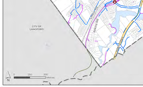
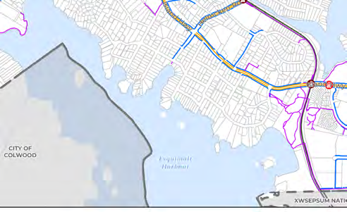
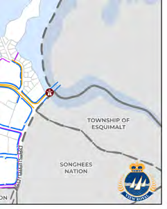
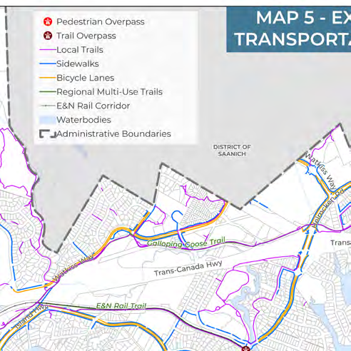
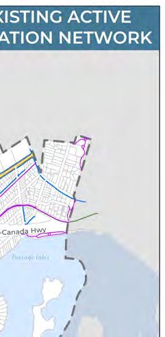
A. Eliminate barriers to active transportation by creating an extensive active transportation network that supports walking, rolling, cycling, and transit opportunities for all ages and abilities (as shown on Maps 5, 6, and 7), improves key intersections along transportation routes to support safe and reliable travel, and provides end-of-trip facilities.
B. Separate active transportation users from vehicle traffic on busy streets, where possible, and seek out low-speed and low-volume streets where people are safe and comfortable as an alternative to travelling on busy streets.
C. Develop high-quality active transportation connections to the mobility hubs, as shown on Map 4, to encourage multi-modal trips.
D. Ensure transportation infrastructure is designed to reflect community needs and best practices in accessible design, with reference to the British Columbia Active Transportation Design Guide and relevant regional design guidelines.
E. Design active transportation services and infrastructure to support safety, comfort and access at all times, including mitigating against the impacts of weather.
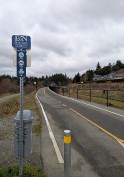
F. Advocate for trail widening, separated facilities for different user groups, and lighting along the Galloping Goose Regional Trail within View Royal to improve safety and comfort for all active modes of transportation.
G. Provide accessible wayfinding within View Royal to connect residents to active transportation networks and encourage the use of View Royal's active transportation corridors.
H. Collaborate with neighbouring municipalities and regional authorities to align active transportation networks and develop safe and comfortable inter-community active transportation connections.
I. Develop infrastructure and programs that encourage active travel for students, parents, and staff.
Document Images
(3)