Appendix
MAP 5 - EXISTING ACTIVE TRANSPORTATION NETWORK
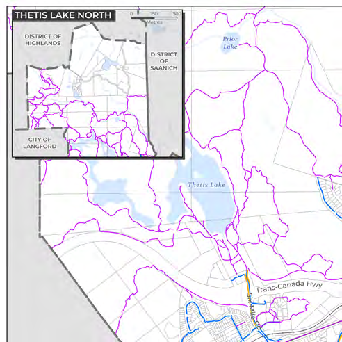
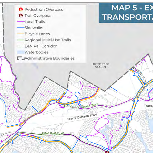
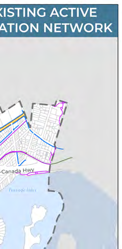
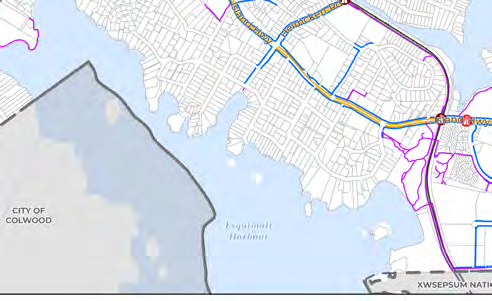
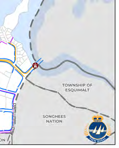
Map showing current sidewalks, bicycle lanes, and regional multi-use trails in View Royal.
Map 5: Existing Active Transportation Network

Legend
- Pedestrian Overpass
- Trail Overpass
- Local Trails
- Sidewalks
- Bicycle Lanes
- Regional Multi-Use Trails
- E&N Rail Corridor
- Waterbodies
- Administrative Boundaries
Geographic Features and Infrastructure
Municipalities and Jurisdictions:
- District of Highlands
- District of Saanich
- City of Langford
- City of Colwood
- Township of Esquimalt
- Songhees Nation
- XWSEPSUM Nation
Key Roadways and Trails:
- Trans-Canada Hwy
- Island Hwy
- Galloping Goose Trail
- E&N Rail Trail
- Watkiss Way
- Helmcken Rd
- Atkins Rd
- Chilco Rd
- Six Mile Rd
Waterbodies:
- Thetis Lake
- Prior Lake
- Esquimalt Harbour
- Portage Inlet
Page 153
Document Images
(1)
Extracted from: 2026 07 07 Council Meeting - Agenda - Pdf(507 pages total)