This site is in beta — data may be incomplete and features are still being added.
Council Meeting/Documents/MAP 8 - STREET CLASSIFICATION
Appendix

MAP 8 - STREET CLASSIFICATION

July 7, 2026Page 1581 sectionOriginal PDF

Map defining jurisdictional boundaries and street hierarchy classifications.

Map 8 - Street Classification
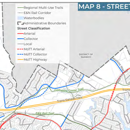
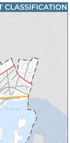
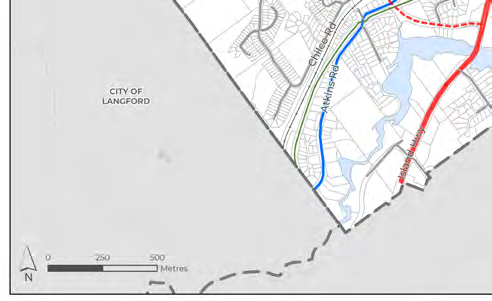
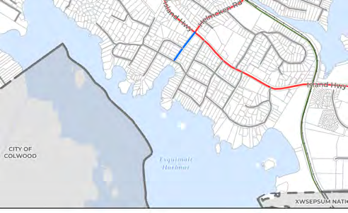
A comprehensive map titled "Map 8 - Street Classification" showing the road network and transportation corridors for the Town of View Royal and surrounding areas including Saanich, Highlands, Langford, Colwood, and Esquimalt.

Legend

Transportation and Boundaries

  • Regional Multi-Use Trails
  • E&N Rail Corridor
  • Waterbodies
  • Administrative Boundaries

Street Classification

  • Arterial
  • Collector
  • Local
  • MoTT Arterial
  • MoTT Collector
  • MoTT Highway

Geographic Features and Infrastructure

The map identifies several key geographic features, jurisdictions, and infrastructure elements:

  • Jurisdictions: District of Highlands, District of Saanich, City of Langford, City of Colwood, Songhees Nation, Xwsepsum Nation, and Township of Esquimalt.
  • Waterbodies: Prior Lake, Thetis Lake, Portage Inlet, and Esquimalt Harbour.
  • Major Highways and Roads:
    • Trans-Canada Hwy
    • Island Hwy
    • Watkiss Way
    • Helmcken Rd
    • Six Mile Rd
    • Atkins Rd
    • Chilco Rd
  • Trails and Corridors:
    • Galloping Goose Trail
    • E&N Rail Trail
    • E&N Rail Corridor
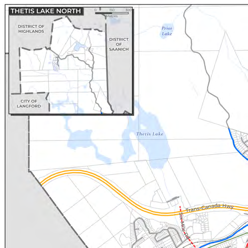
Inset map located in the top-left corner labeled "Thetis Lake North," showing the northern portion of the municipality in greater detail relative to the District of Highlands and District of Saanich.
Detail of the map legend identifying street classifications and transportation features.
Detail of the central map area showing the intersection of the Trans-Canada Highway and Watkiss Way.
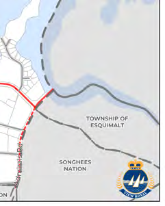
Detail of the southern map area showing the Island Highway, Esquimalt Harbour, and boundaries for Colwood and the Songhees Nation.
Page 158
Extracted from: 2026 07 07 Council Meeting - Agenda - Pdf(507 pages total)