Appendix
MAP 9 - SEWER SERVICING SYSTEM
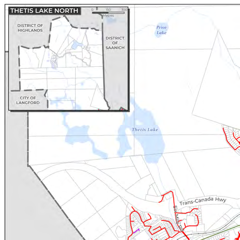
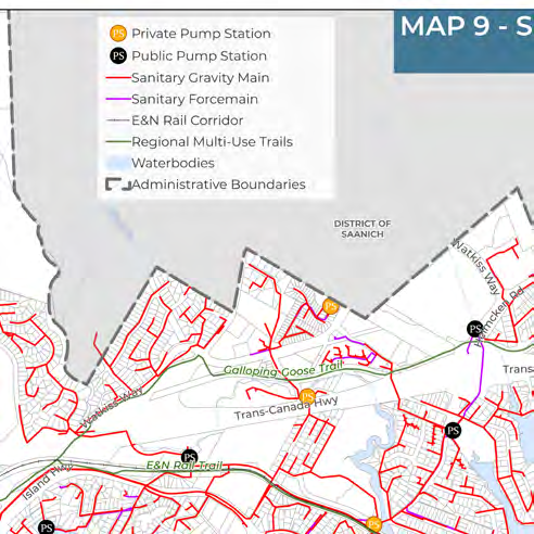
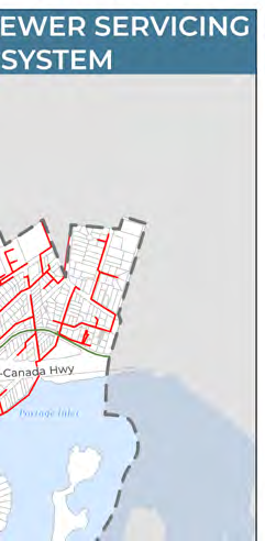
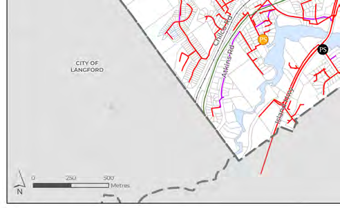
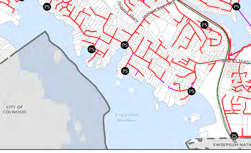
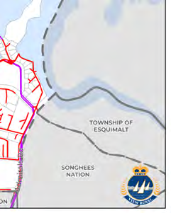
Map of sanitary gravity mains and force mains within the Urban Containment Boundary.
Map 9: Sewer Servicing System
Map Legend
- Private Pump Station (PS): Orange circle
- Public Pump Station (PS): Black circle
- Sanitary Gravity Main: Red line
- Sanitary Forcemain: Purple line
- E&N Rail Corridor: Thin grey line
- Regional Multi-Use Trails: Green line
- Waterbodies: Blue shaded area
- Administrative Boundaries: Black dashed line
Administrative Areas and Geographic Features
- Neighboring Jurisdictions: District of Highlands, District of Saanich, City of Langford, City of Colwood, Township of Esquimalt, Songhees Nation, Xwsepsum Nation.
- Waterbodies: Thetis Lake, Prior Lake, Portage Inlet, Esquimalt Harbour.
- Transportation and Trails: Trans-Canada Hwy, Island Hwy, Galloping Goose Trail, E&N Rail Trail.
- Major Roads: Watkiss Way, Helmcken Rd, Six Mile Rd, Atkins Rd, Chilco Rd, Admirals Rd.
Page 163
Document Images
(5)
Extracted from: 2026 07 07 Council Meeting - Agenda - Pdf(507 pages total)