Appendix
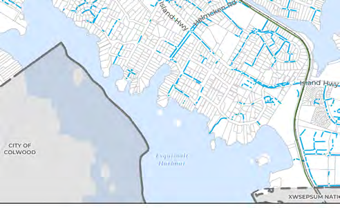
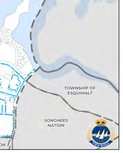
MAP 10 - STORMWATER SERVICING SYSTEM
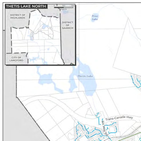
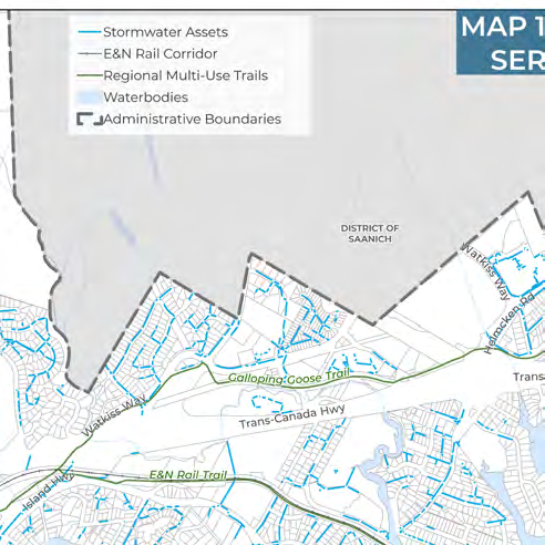
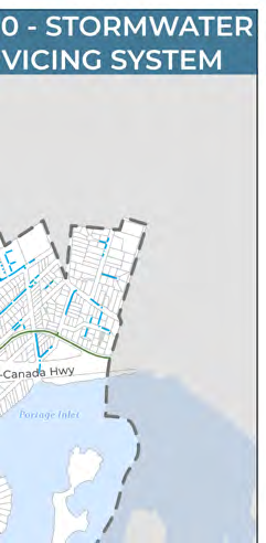
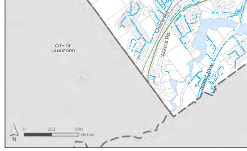
Map showing manholes, drain mains, and drainage outlets into Portage Inlet and Esquimalt Harbour.
Map 10: Stormwater Servicing System
Legend
- Stormwater Assets
- E&N Rail Corridor
- Regional Multi-Use Trails
- Waterbodies
- Administrative Boundaries
Key Locations and Jurisdictions
- City of Langford
- City of Colwood
- District of Highlands
- District of Saanich
- Township of Esquimalt
- Songhees Nation
- Xwsepsum Nation
- Thetis Lake
- Prior Lake
- Esquimalt Harbour
- Portage Inlet
- Trans-Canada Hwy
- Island Hwy
- Watkiss Way
- Helmcken Rd
- Six Mile Rd
- Atkins Rd
- Chilco Rd
- Galloping Goose Trail
- E&N Rail Trail
Page 164
Document Images
(5)
Extracted from: 2026 07 07 Council Meeting - Agenda - Pdf(507 pages total)