Appendix
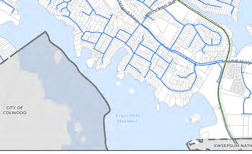
MAP 11 - WATER SERVICING SYSTEM
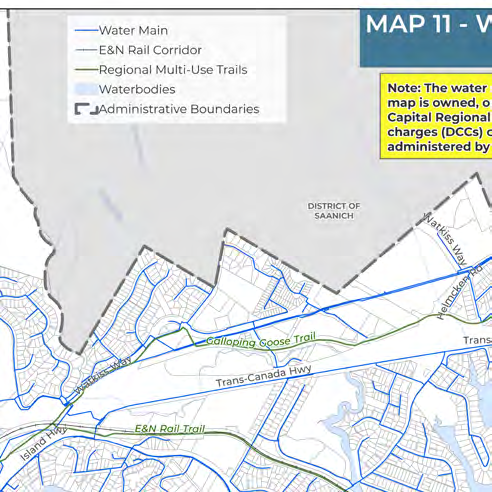
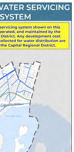
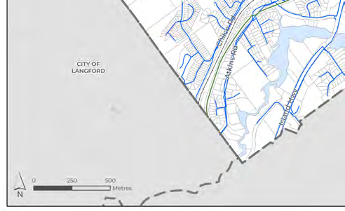
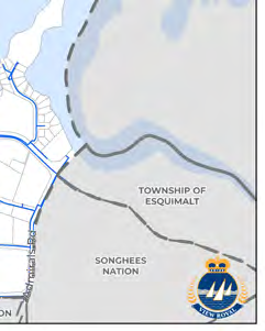
Map showing primary water mains operated by the Capital Regional District.
Map 11: Water Servicing System
Map Legend
- Water Main
- E&N Rail Corridor
- Regional Multi-Use Trails
- Waterbodies
- Administrative Boundaries
Note
The water servicing system shown on this map is owned, operated, and maintained by the Capital Regional District. Any development cost charges (DCCs) collected for water distribution are administered by the Capital Regional District.
Regional Information
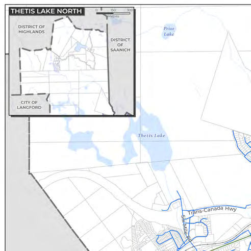
The map identifies the following neighboring jurisdictions and geographic features:
- District of Highlands
- District of Saanich
- City of Langford
- City of Colwood
- Township of Esquimalt
- Songhees Nation
- XWSEPSUM Nation
- Thetis Lake
- Prior Lake
- Portage Inlet
- Esquimalt Harbour
Major Transportation Routes
- Trans-Canada Hwy
- Island Hwy
- Watkiss Way
- Helmcken Rd
- Six Mile Rd
- Atkins Rd
- Galloping Goose Trail
- E&N Rail Trail
Page 165
Document Images
(5)
Extracted from: 2026 07 07 Council Meeting - Agenda - Pdf(507 pages total)