Appendix
MAP 12 - ENVIRONMENTALLY SENSITIVE AREAS
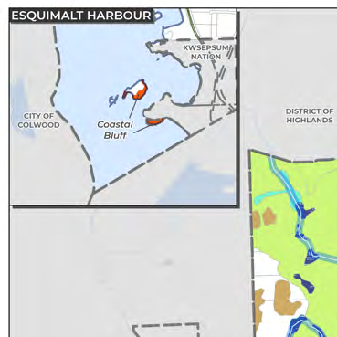
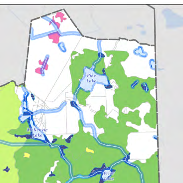
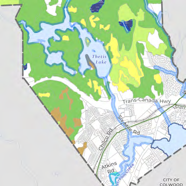
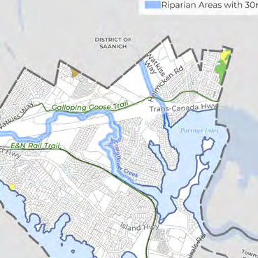
Map designating sensitive ecosystems including old forest, wetlands, and riparian buffers.
Map 12 - Environmentally Sensitive Areas
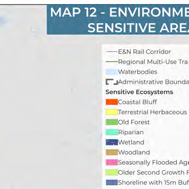
Legend
General Features
- E&N Rail Corridor
- Regional Multi-Use Trails
- Waterbodies
- Administrative Boundaries
Sensitive Ecosystems
- Coastal Bluff
- Terrestrial Herbaceous
- Old Forest
- Riparian
- Wetland
- Woodland
- Seasonally Flooded Agricultural Fields
- Older Second Growth Forest
- Shoreline with 15m Buffer
- Riparian Areas with 30m Buffer
Geographic Features
Waterbodies and Waterways
- Pike Lake
- McKenzie Lake
- Prior Lake
- Thetis Lake
- Esquimalt Harbour
- Portage Inlet
- Craigflower Creek
- Millstream Creek
Transportation and Trails
- Trans-Canada Hwy
- Island Hwy
- Watkiss Way
- Helmcken Rd
- Galloping Goose Trail
- E&N Rail Trail
- Atkins Rd
- Chilco Rd
- Six Mile Rd
Administrative Jurisdictions
- District of Highlands
- District of Saanich
- City of Langford
- City of Colwood
- Township of Esquimalt
- Songhees Nation
- XWSEPSUM Nation
Page 178
Document Images
(2)
Extracted from: 2026 07 07 Council Meeting - Agenda - Pdf(507 pages total)