Appendix
MAP 14 - STEEP SLOPES
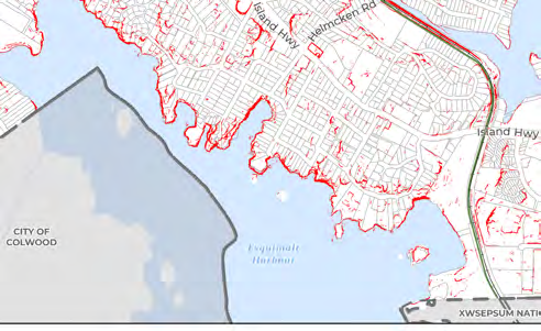
Map identifying hazardous steep slope areas with grades greater than 30%.
Map 14 - Steep Slopes
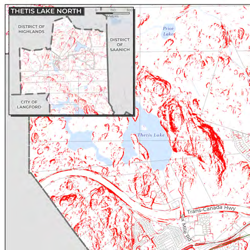
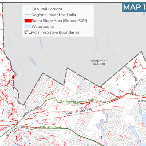
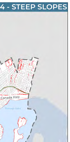
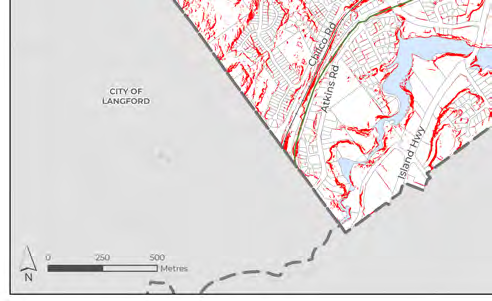
Legend
- E&N Rail Corridor
- Regional Multi-Use Trails
- Steep Slope Area (Slopes >30%): Represented by red shading
- Waterbodies: Represented by light blue shading
- Administrative Boundaries: Represented by a dashed black line
Geographic and Administrative Features
- Waterbodies:
- Thetis Lake
- Prior Lake
- Portage Inlet
- Esquimalt Harbour
- Transportation and Trails:
- Trans-Canada Hwy
- Island Hwy
- Watkiss Way
- Helmcken Rd
- Six Mile Rd
- Atkins Rd
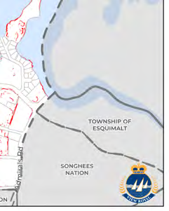
- Admirals Rd
- Galloping Goose Trail
- E&N Rail Trail
- Surrounding Jurisdictions:
- City of Langford
- City of Colwood
- District of Highlands
- District of Saanich
- Township of Esquimalt
- Songhees Nation
- Xwsepsum Nation
Page 180
Document Images
(1)
Extracted from: 2026 07 07 Council Meeting - Agenda - Pdf(507 pages total)