This site is in beta — data may be incomplete and features are still being added.
Council Meeting/Documents/MAP 15 - PARKS, OPEN SPACES, TRAILS, AND COMMUNITY FACILITIES
Appendix

MAP 15 - PARKS, OPEN SPACES, TRAILS, AND COMMUNITY FACILITIES

July 7, 2026Page 1951 sectionOriginal PDF

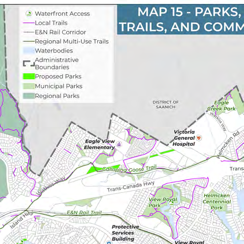
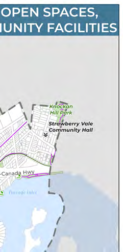
Map showing existing and proposed parks, trails, schools, and community centers.

Map 15: Parks, Open Spaces, Trails, and Community Facilities
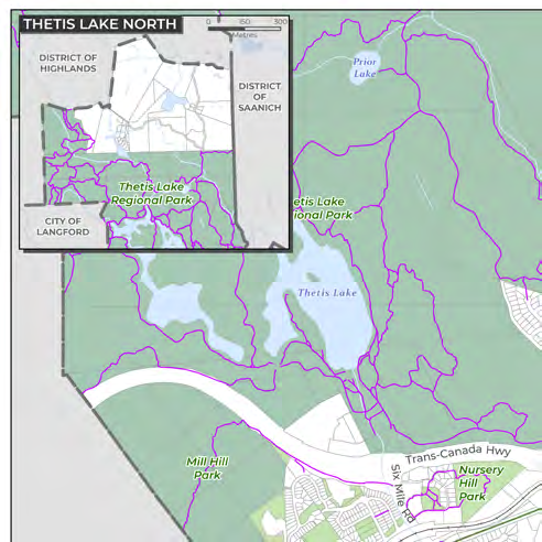
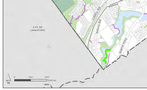
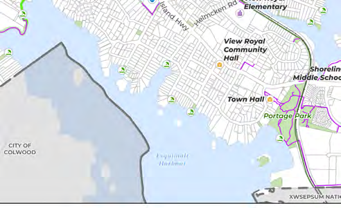
Map 15 - Parks, Open Spaces, Trails, and Community Facilities, showing regional and municipal parks, trails, waterfront access points, and community facilities such as Town Hall, View Royal Community Hall, and various schools.

Disclaimer: There may be some local trails missing on Map 15 due to limited GIS data. This map will be updated following a comprehensive assessment and GIS mapping of all parks and trails in the town as part of the new Parks and Trails Master Plan.

Page 195

Document Images

(5)
Document image
Document image
Document image
Document image
Document image
Extracted from: 2026 07 07 Council Meeting - Agenda - Pdf(507 pages total)