Council Report: 150 ISLAND HIGHWAY – ENVIRONMENTAL DEVELOPMENT PERMIT
A report considering a development permit for a CRD pump station at 150 Island Highway, including a request for a setback variance.
TOWN OF VIEW ROYAL COUNCIL REPORT
TO: Council DATE: April 24, 2013 FROM: J. Davison, MCIP, Planner MEETING DATE: April 30, 2013 FILE NO: 3060-20-2013/01
150 ISLAND HIGHWAY – ENVIRONMENTAL DEVELOPMENT PERMIT
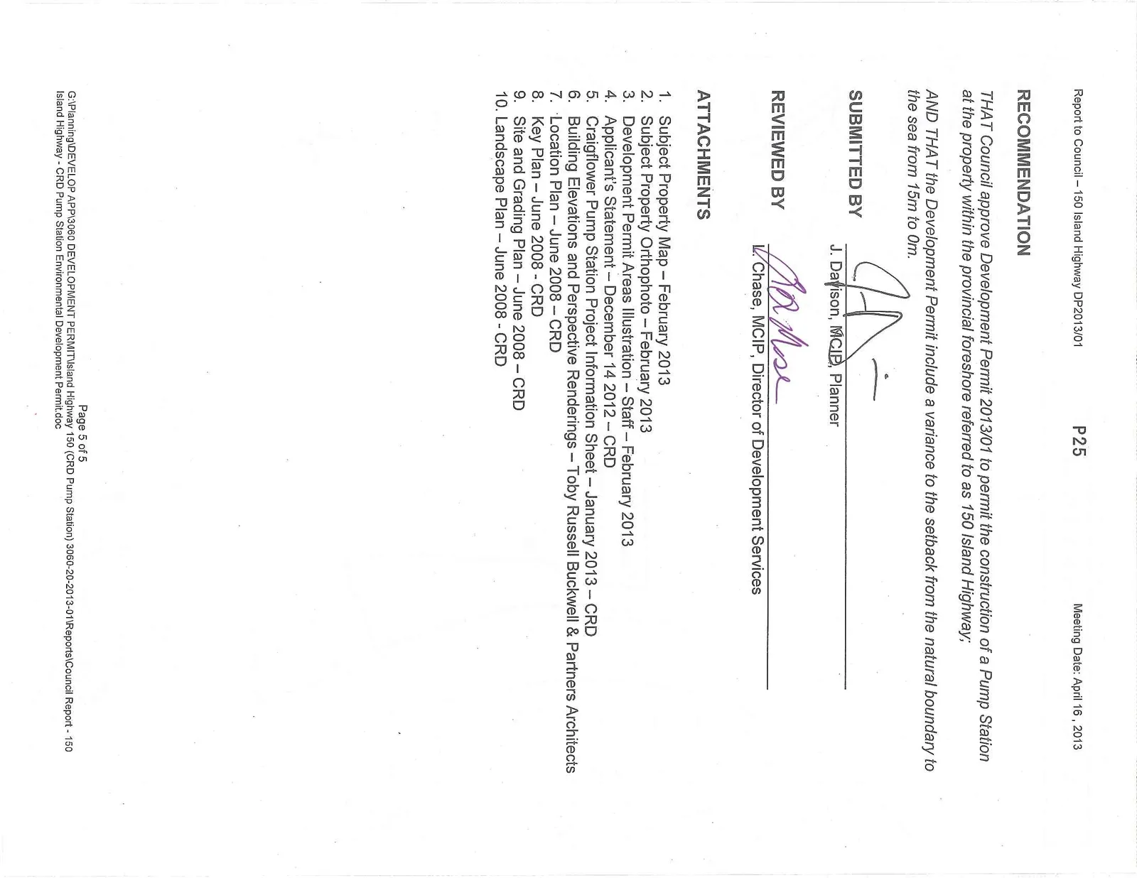
RECOMMENDATION
THAT Council approve Development Permit 2013/01 to permit the construction of a Pump Station at the property within the provincial foreshore referred to as 150 Island Highway;
AND THAT the Development Permit include a variance to the setback from the natural boundary to the sea from 15m to 0m.
CHIEF ADMINISTRATIVE OFFICER’S COMMENTS
I concur with the recommendation.
DIRECTOR OF DEVELOPMENT SERVICES’ COMMENTS
I concur with the recommendation.
DIRECTOR OF ENGINEERING’S COMMENTS
I concur with the recommendation.
PURPOSE OF REPORT
The purpose of this report is to present the application for DP2013/01 to permit the construction of a CRD Pump Station and associated structure within the Portage Inlet foreshore.
BACKGROUND
An existing pump station is located on the Shoreline Middle School property adjacent to Shoreline Dr. It has reached capacity and needs upgrading.
This is a unique application in that it is being made by the CRD for a portion of untitled land which is above the high water mark but legally still within the foreshore (and therefore under Provincial ownership). The CRD has a License of Occupation with the Province for the siting and operation of the pump station, and several Statutory Rights-of-Way over adjacent properties (154 Island Highway and the Shoreline Community Middle School/School District 61) for the same purpose.
The works are proposed over two separate Development Permit Areas:
- Sensitive Terrestrial Ecosystems DP Area (over a portion of the Shoreline Community Middle School property)
- Natural Watercourse and Shoreline Areas DP Area (15m above and below the natural boundary to the sea).
This issue first arose in a Council resolution dated February 21, 2006:
"That staff be directed to work in conjunction with the CRD for their acquisition of the filled foreshore for park purposes and siting of the pump station"
A report presented at the June 13, 2006 Committee of the Whole meeting addressed the installation of the new pump station and outlined the following requirements:
- The crown land acquisition process must be completed.
- Upland owners must be consulted, specifically the owners of 154 Island Highway and School District 61.
- An Environmental Development Permit is needed, but no zoning regulations apply.
- Driveway access permit will be required for the additional traffic (amount and type of) generated.
- An easement (a statutory right of way, really) over SD 61 property may be needed in addition to that over 154 Island Highway's property.
Committee moved the recommendation:
"THAT the CRD proposal to relocate the Craigflower Sewer Pump Station from School District 61 property at Shoreline Drive to an area of filled foreshore (Crown land) at the southwest end of Portage Inlet be referred to the Planning and Development Advisory Committee, the Parks, Recreation and Environment Advisory Committee and the Transportation Advisory Committee for comments and recommendations."
The application went no further.
PROJECT INFORMATION
Proposal
This DP focuses on the consideration of development requiring a Building Permit within an Environmental Development Permit area. The proposed is a structure housing the mechanical components of the Pump Station and the associated infrastructure and landscaping.
The applicant has submitted the following information in support of their application:
- Applicant’s Statement – CRD Engineering Design Services – December 14 2012
- Building Elevations and Perspective Renderings – Toby Russell Buckwell & Partners Architects
- Environmental Impact Screening Assessment – CRD Harbours and Watersheds Coordinator – December 2012
- Technical Memorandum No. 1-2 – Associated Engineering – November 2005
- Stage 1 & Stage 2 Preliminary Site Investigation, the proposed Craigflower Pump Station – Golder Associates – December 7, 2006
- Report of Geotechnical Investigation Associated Engineering Ltd/Capital Regional District Craigflower Pump Station – Levelton Engineering Solutions – January 4 2007
- Geotechnical Investigation Summary of Factual Findings Proposed Craigflower Sewer Line – October 31 2007
- Final Report on Archaeological Impact Assessment for Proposed Craigflower Sewer Line – October 15 2007
- Craigflower Pump Station 100% Design Submission – Associated Engineering – July 2008
- Northwest Trunk – Western Craigflower Pump Station 100% Design Submission Drawings 11x17 format – Associated Engineering and CRD Environmental Services – June 11 2008
- Traffic Management Plan – Boulevard Transportation Group – October 24 2006
- Correspondence and title instruments – December 18 2007
Issues and Analysis
Filled Foreshore
This application is unique in that it is being made for an untitled portion of Provincial Crown foreshore within Portage Inlet. The land itself is physically above the high water mark but not legally designated as an uplands parcel. The land has been used as a dumping ground in the past, and the Environmental Impact Screening Assessment done by the CRD identifies some mild site contamination as a result. The CRD will be placing pipes connecting the existing pump station with the proposed pump station, and a portion of those pipes cross the foreshore and the deep waters of Portage Inlet. The placement of servicing is a Development Permit exemption activity and staff feels comfortable that any DP conditions it would have otherwise, with respect to Environmental Protection, are satisfied in those areas through the existing provincial and federal processes.
Soil contamination issues have been identified, but are covered under Provincial regulation for remediation. Staff is comfortable that this process will be followed and is confident that this process will clean up the minor contamination which currently exists.
The CRD has a License of Occupation over those lands to construct and operate the pump station until January 1, 2018 (the grant and term are described in detail within the License of Occupation). The CRD has a Statutory Right of Way (SRW) for access and for the placement of servicing over both the School District property and 154 Island Highway's private driveway. The CRD has commenced the process of acquiring an SRW over the foreshore with the intention of it establishing a permanent solution for the siting of the pump station. They expect issuance of the SRW in June-July 2013 (2-3 months from the date of the report).
Development Permit Area
The issue for Council to address is limited to whether the project meets the Environmental Development Permit (DP) guidelines for the natural watercourse and shoreline areas and for the sensitive terrestrial ecosystem, and also whether the variance is appropriate. The DP guidelines in question are for the protection of the natural environment 15m above and below the natural boundary to the sea, and for protection of a sensitive terrestrial ecosystem over the westernmost portion of the school property. This latter portion will be used as staging area during construction.
Staff is of the opinion that the application requires a variance to the setback from the natural boundary to the sea from 15m to 0m, despite the 2006 Committee of the Whole recommendation, based on counsel the Town has since received. While there is no specific zoning over the lands in question (we have no zoning in the foreshore) the 15m special setback from the natural boundary is expressed within the General Regulations portion of Land Use Bylaw No. 35, 1990 and not tied to a specific zone. Staff is erring on the side of caution in identifying this variance.
The existing pump station on the Shoreline Community Middle School property is at capacity and while functioning properly it needs upgrading. The existing pump station will remain in place in its current capacity for approximately one year, and will function as a backup to the new one. The CRD has an SRW registered over the School District lands for the purpose of installation of servicing. Once the CRD is confident that the new pump station is working properly the existing one will either be repurposed or decommissioned.
The applicant has submitted a Landscape Plan as part of the drawings accompanying the application. It identifies a number of trees to be removed, but these trees are not trees which would require a Tree Removal Permit (they are not protected trees and are not of a diameter greater than 30cm at chest height). Should the applicant wish to remove a protected tree they will require a Tree Removal Permit in advance of doing so.
Public Engagement
The CRD has a public engagement component to the project and has engaged the community in several ways, including holding a public open house in February 2013 as well as speaking to adjacent and nearby landowners and listening to their concerns.
Analysis
Staff believes this application will be a general benefit to the community. The facility will clean up an area which is of environmental and social concern for the Town, and provide a more reliable servicing solution for the region. The structure and the landscaping will be very high quality, and the pump station mechanicals themselves are of a high quality and will ensure quiet, odourless operation.
RECOMMENDATION
THAT Council approve Development Permit 2013/01 to permit the construction of a Pump Station at the property within the provincial foreshore referred to as 150 Island Highway;
AND THAT the Development Permit include a variance to the setback from the natural boundary to the sea from 15m to 0m.
SUBMITTED BY J. Davison, MCIP, Planner
REVIEWED BY V. Chase, MCIP, Director of Development Services
ATTACHMENTS
- Subject Property Map – February 2013
- Subject Property Orthophoto – February 2013
- Development Permit Areas Illustration – Staff – February 2013
- Applicant’s Statement – December 14 2012 – CRD
- Craigflower Pump Station Project Information Sheet – January 2013 – CRD
- Building Elevations and Perspective Renderings – Toby Russell Buckwell & Partners Architects
- Location Plan – June 2008 – CRD
- Key Plan – June 2008 – CRD
- Site and Grading Plan – June 2008 – CRD
- Landscape Plan – June 2008 – CRD
Document Images
(5)