Attachment 6. Environmental Impact Assessment - Cascadia Biological Services
Biological assessment of the dock project and its potential impact on the marine environment.
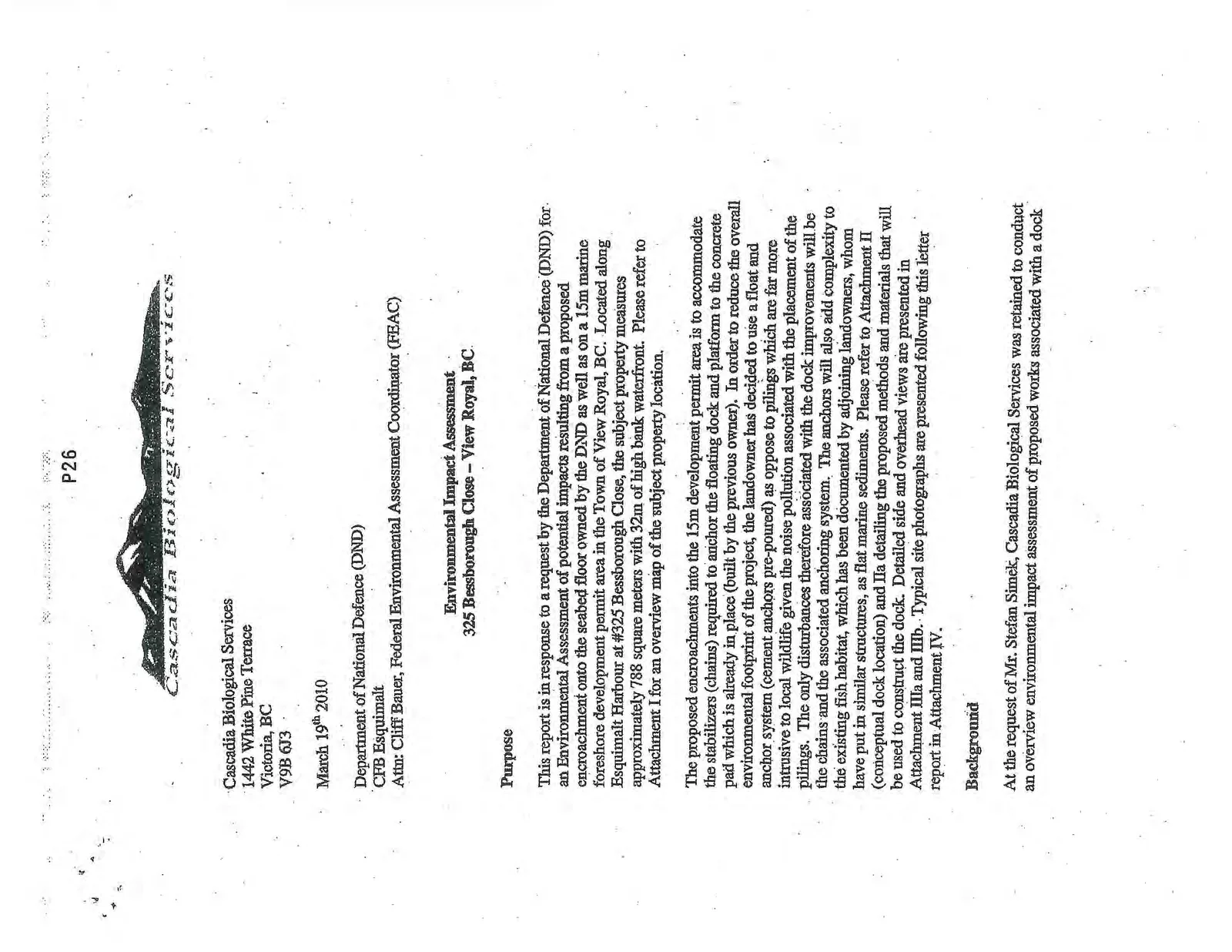
Cascadia Biological Services 1442 White Pine Terrace Victoria, BC V9B 6J3
March 19th 2010
Department of National Defence (DND) CFB Esquimalt Attn: Cliff Bauer, Federal Environmental Assessment Coordinator (FEAC)
Environmental Impact Assessment
325 Bessborough Close – View Royal, BC
Purpose
This report is in response to a request by the Department of National Defence (DND) for an Environmental Assessment of potential impacts resulting from a proposed encroachment onto the seabed floor owned by the DND as well as on a 15m marine foreshore development permit area in the Town of View Royal, BC. Located along Esquimalt Harbour at #325 Bessborough Close, the subject property measures approximately 788 square meters with 32m of high bank waterfront. Please refer to Attachment I for an overview map of the subject property location.
The proposed encroachments into the 15m development permit area is to accommodate the stabilizers (chains) required to anchor the floating dock and platform to the concrete pad which is already in place (built by the previous owner). In order to reduce the overall environmental footprint of the project, the landowner has decided to use a float and anchor system (cement anchors pre-poured) as oppose to pilings which are far more intrusive to local wildlife given the noise pollution associated with the placement of the pilings. The only disturbances therefore associated with the dock improvements will be the chains and the associated anchoring system. The anchors will also add complexity to the existing fish habitat, which has been documented by adjoining landowners, whom have put in similar structures, as flat marine sediments. Please refer to Attachment II (conceptual dock location) and IIa detailing the proposed methods and materials that will be used to construct the dock. Detailed side and overhead views are presented in Attachment IIIa and IIIb. Typical site photographs are presented following this letter report in Attachment IV.
Background
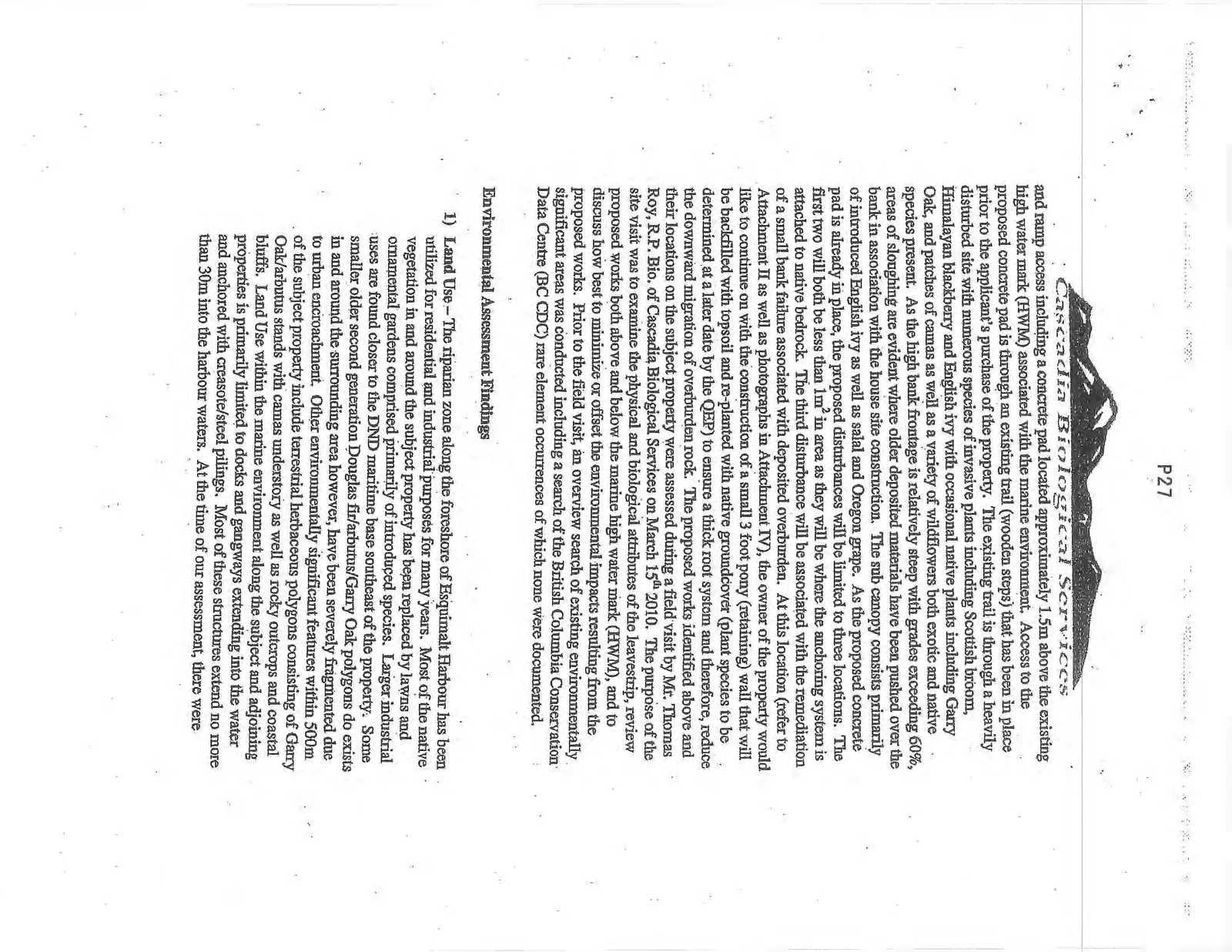
At the request of Mr. Stefan Simek, Cascadia Biological Services was retained to conduct an overview environmental impact assessment of proposed works associated with a dock and ramp access including a concrete pad located approximately 1.5m above the existing high water mark (HWM) associated with the marine environment. Access to the proposed concrete pad is through an existing trail (wooden steps) that has been in place prior to the applicant's purchase of the property. The existing trail is through a heavily disturbed site with numerous species of invasive plants including Scottish broom, Himalayan blackberry and English ivy with occasional native plants including Garry Oak, and patches of camas as well as a variety of wildflowers both exotic and native species present. As the high bank frontage is relatively steep with grades exceeding 60%, areas of sloughing are evident where older deposited materials have been pushed over the bank in association with the house site construction. The sub canopy consists primarily of introduced English ivy as well as salal and Oregon grape. As the proposed concrete pad is already in place, the proposed disturbances will be limited to three locations. The first two will both be less than 1m² in area as they will be where the anchoring system is attached to native bedrock. The third disturbance will be associated with the remediation of a small bank failure associated with deposited overburden. At this location (refer to Attachment II as well as photographs in Attachment IV), the owner of the property would like to continue on with the construction of a small 3 foot pony (retaining) wall that will be backfilled with topsoil and re-planted with native groundcover (plant species to be determined at a later date by the QEP) to ensure a thick root system and therefore, reduce the downward migration of overburden rock. The proposed works identified above and their locations on the subject property were assessed during a field visit by Mr. Thomas Roy, R.P. Bio. of Cascadia Biological Services on March 15th 2010. The purpose of the site visit was to examine the physical and biological attributes of the leavestrip, review proposed works both above and below the marine high water mark (HWM), and to discuss how best to minimize or offset the environmental impacts resulting from the proposed works. Prior to the field visit, an overview search of existing environmentally significant areas was conducted including a search of the British Columbia Conservation Data Centre (BC CDC) rare element occurrences of which none were documented.
Environmental Assessment Findings
- Land Use – The riparian zone along the foreshore of Esquimalt Harbour has been utilized for residential and industrial purposes for many years. Most of the native vegetation in and around the subject property has been replaced by lawns and ornamental gardens comprised primarily of introduced species. Larger industrial uses are found closer to the DND maritime base southeast of the property. Some smaller older second generation Douglas fir/arbutus/Garry Oak polygons do exists in and around the surrounding area however, have been severely fragmented due to urban encroachment. Other environmentally significant features within 500m of the subject property include terrestrial herbaceous polygons consisting of Garry Oak/arbutus stands with camas understory as well as rocky outcrops and coastal bluffs. Land Use within the marine environment along the subject and adjoining properties is primarily limited to docks and gangways extending into the water and anchored with creosote/steel pilings. Most of these structures extend no more than 30m into the harbour waters. At the time of our assessment, there were approximately 15-20 similarly sized docks within 400m of the subject property (refer to Attachment V for a detailed overview of land use in and around the subject property).
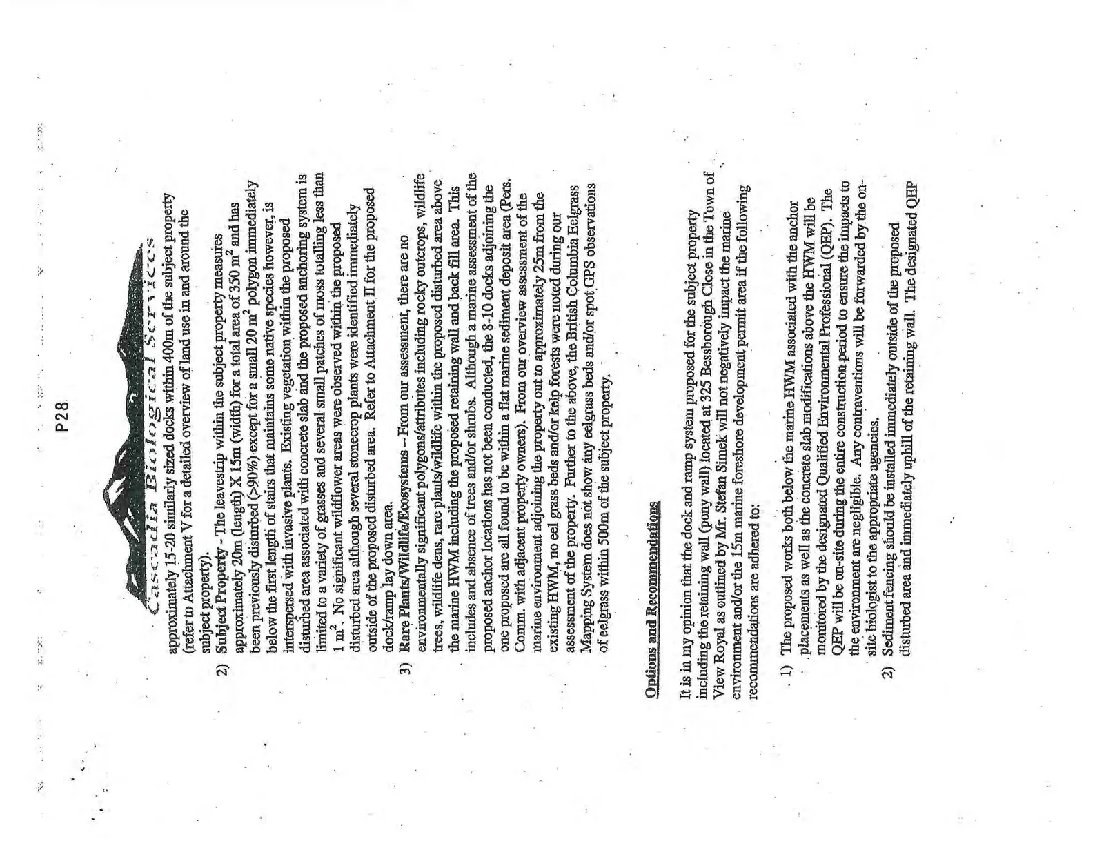
- Subject Property - The leavestrip within the subject property measures approximately 20m (length) X 15m (width) for a total area of 350 m² and has been previously disturbed (>90%) except for a small 20 m² polygon immediately below the first length of stairs that maintains some native species however, is interspersed with invasive plants. Existing vegetation within the proposed disturbed area associated with concrete slab and the proposed anchoring system is limited to a variety of grasses and several small patches of moss totalling less than 1 m². No significant wildflower areas were observed within the proposed disturbed area although several stonecrop plants were identified immediately outside of the proposed disturbed area. Refer to Attachment II for the proposed dock/ramp lay down area.
- Rare Plants/Wildlife/Ecosystems – From our assessment, there are no environmentally significant polygons/attributes including rocky outcrops, wildlife trees, wildlife dens, rare plants/wildlife within the proposed disturbed area above the marine HWM including the proposed retaining wall and back fill area. This includes and absence of trees and/or shrubs. Although a marine assessment of the proposed anchor locations has not been conducted, the 8-10 docks adjoining the one proposed are all found to be within a flat marine sediment deposit area (Pers. Comm. with adjacent property owners). From our overview assessment of the marine environment adjoining the property out to approximately 25m from the existing HWM, no eel grass beds and/or kelp forests were noted during our assessment of the property. Further to the above, the British Columbia Eelgrass Mapping System does not show any eelgrass beds and/or spot GPS observations of eelgrass within 500m of the subject property.
Options and Recommendations
It is in my opinion that the dock and ramp system proposed for the subject property including the retaining wall (pony wall) located at 325 Bessborough Close in the Town of View Royal as outlined by Mr. Stefan Simek will not negatively impact the marine environment and/or the 15m marine foreshore development permit area if the following recommendations are adhered to:
- The proposed works both below the marine HWM associated with the anchor placements as well as the concrete slab modifications above the HWM will be monitored by the designated Qualified Environmental Professional (QEP). The QEP will be on-site during the entire construction period to ensure the impacts to the environment are negligible. Any contraventions will be forwarded by the on-site biologist to the appropriate agencies.
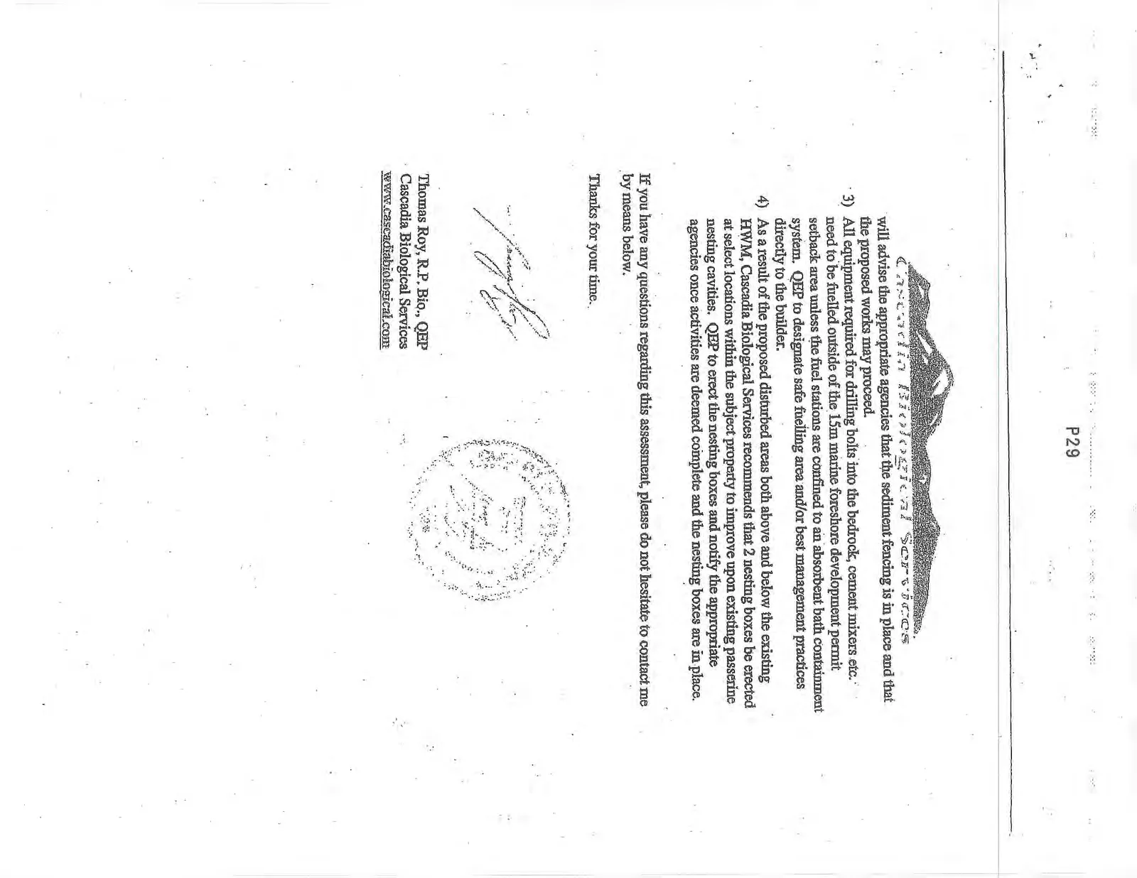
- Sediment fencing should be installed immediately outside of the proposed disturbed area and immediately uphill of the retaining wall. The designated QEP will advise the appropriate agencies that the sediment fencing is in place and that the proposed works may proceed.
- All equipment required for drilling bolts into the bedrock, cement mixers etc. need to be fuelled outside of the 15m marine foreshore development permit setback area unless the fuel stations are confined to an absorbent bath containment system. QEP to designate safe fuelling area and/or best management practices directly to the builder.
- As a result of the proposed disturbed areas both above and below the existing HWM, Cascadia Biological Services recommends that 2 nesting boxes be erected at select locations within the subject property to improve upon existing passerine nesting cavities. QEP to erect the nesting boxes and notify the appropriate agencies once activities are deemed complete and the nesting boxes are in place.
If you have any questions regarding this assessment, please do not hesitate to contact me by means below.
Thanks for your time.
Thomas Roy, R.P. Bio., QEP Cascadia Biological Services www.cascadiabiological.com
Document Images
(4)