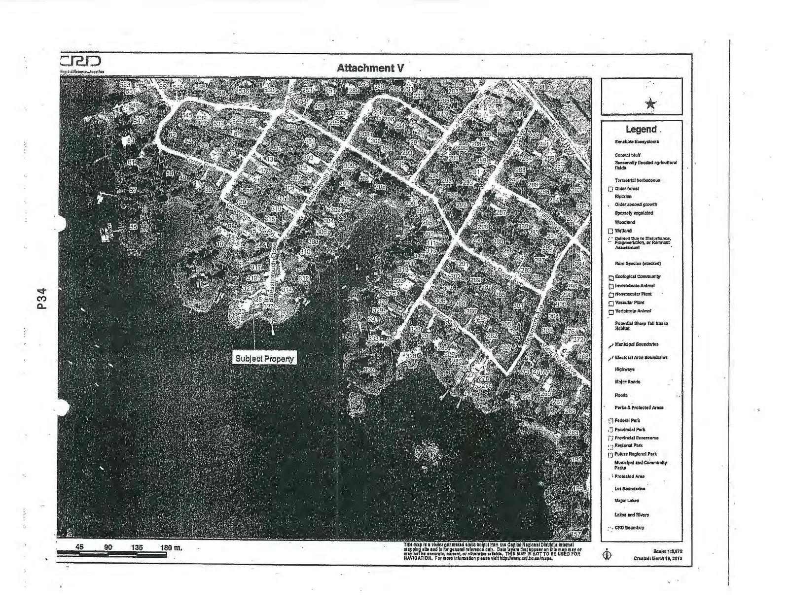
Attachment V - CRD Map showing Sensitive Ecosystems
Environmental mapping identifying sensitive areas and coastal bluffs near the subject property.
Attachment V
Legend
Sensitive Ecosystems
- Coastal bluff
- Seasonally flooded agricultural fields
- Terrestrial herbaceous
- Older forest
- Riparian
- Older second growth
- Sparsely vegetated
- Woodland
- Wetland
- Deleted due to disturbance, Fragmentation, or Remnant Assessment
Rare Species (masked)
Ecological Community
Invertebrate Animal
Nonvascular Plant
Vascular Plant
Vertebrate Animal
Potential Sharp Tail Snake Habitat
Municipal Boundaries
Electoral Area Boundaries
Highways
Major Roads
Roads
Parks & Protected Areas
Federal Park
Provincial Park
Provincial Ecological
Regional Park
Future Regional Park
Municipal and Community Parks
Protected Area
Lot Boundaries
Major Lakes
Lakes and Rivers
CRD Boundary
Scale: 1:5,876 Created: March 15, 2013
This map is a user-generated map output from the Capital Regional District's internal mapping site and is for general reference only. Data layers that appear on this map may or may not be accurate, current, or otherwise reliable. THIS MAP IS NOT TO BE USED FOR NAVIGATION. For more information please visit http://www.crd.bc.ca/maps.