Appendix
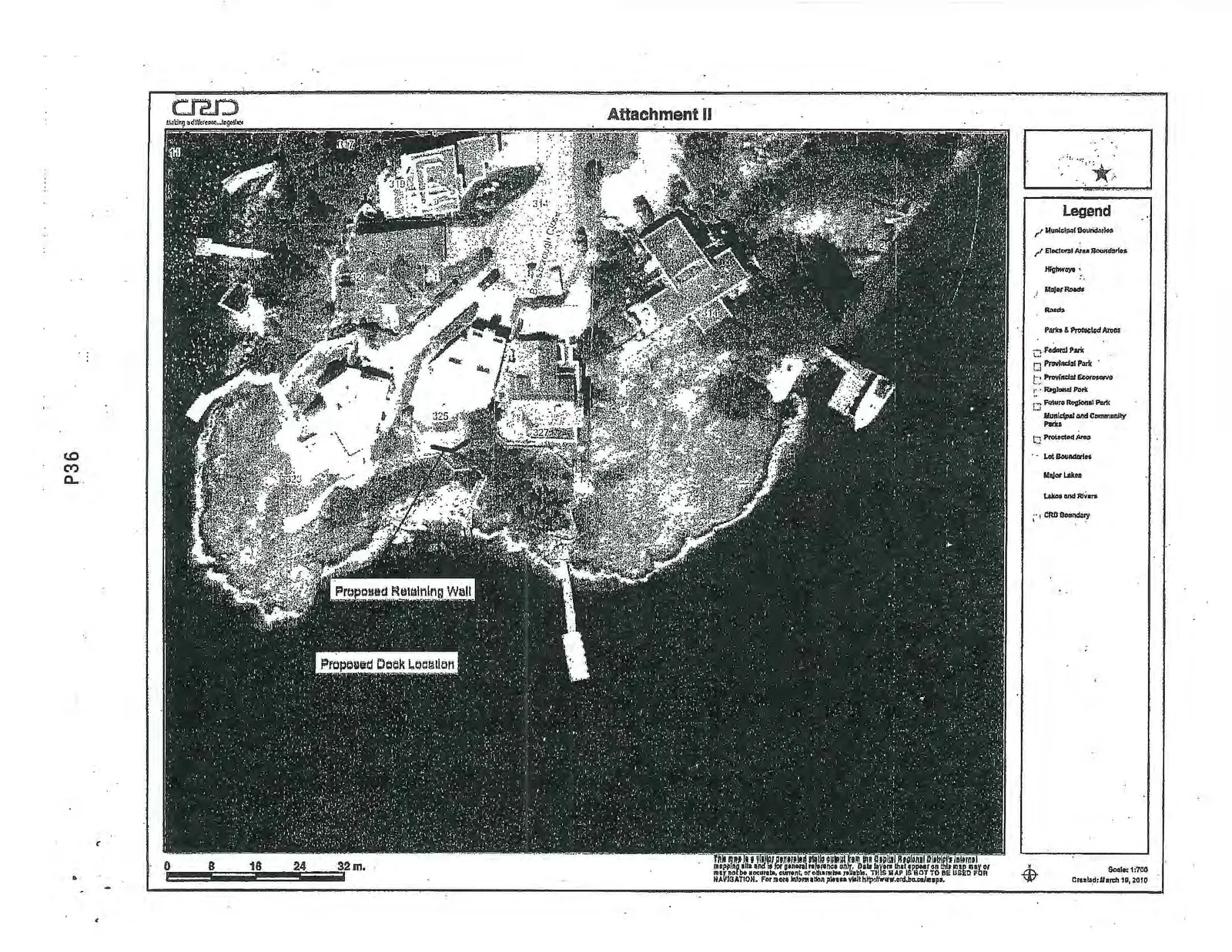
Attachment II - Map showing Proposed Dock Location
May 7, 2013Page 401 section
Mapping indicating where the dock will be positioned relative to the existing concrete pad.
Attachment II
Legend
- Municipal Boundaries
- Electoral Area Boundaries
- Highways
- Major Roads
- Roads
- Parks & Protected Areas
- Federal Park
- Provincial Park
- Provincial Ecoreserve
- Regional Park
- Future Regional Park
- Municipal and Community Parks
- Protected Area
- Lot Boundaries
- Major Lakes
- Lakes and Rivers
- CRD Boundary
Scale: 0, 8, 16, 24, 32 m.
This map is a user generated static output from the Capital Regional District's internal mapping site and is for general reference only. Data layers that appear on this map may or may not be accurate, current, or otherwise reliable. THIS MAP IS NOT TO BE USED FOR NAVIGATION. For more information please visit http://www.crd.bc.ca/maps.
Scale: 1:700 Created: March 10, 2010
Page 40
Extracted from: 2013 05 07 Council Agenda