This site is in beta — data may be incomplete and features are still being added.
Council Meeting/Documents/Concept Plan (Orthophoto) - 233 Anya Lane
Appendix

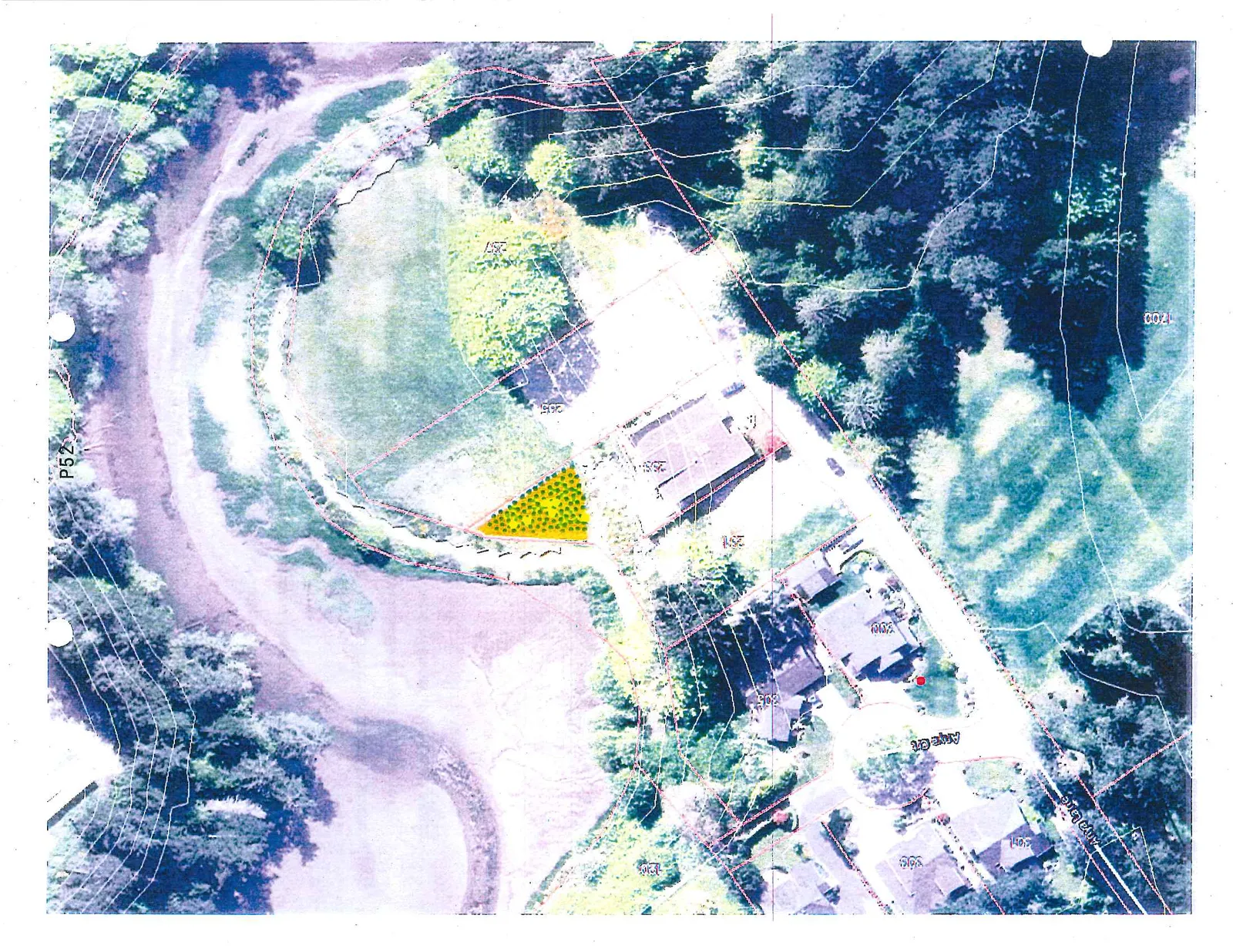
Concept Plan (Orthophoto) - 233 Anya Lane

February 19, 2013Page 561 section

Aerial image with the specific planting zone marked in an orange polygon.

1 CALL TO ORDER
Toe of engineered slope

Aerial Map

Topographic aerial map showing residential lots on Anya Lane and Anya Crt. The map features property lines, white and red contour lines, and a yellow highlighted triangular area containing green symbols. Map labels include P52, 257, 265, 258, 251, 200, 205, 306, and 1700.
Page 56
Extracted from: 2013 02 19 Council Agenda