Rezoning 2021/01 Presentation Slides
Staff presentation materials summarizing the proposed rezoning, development concept, and community benefits.
REZONING 2021/01
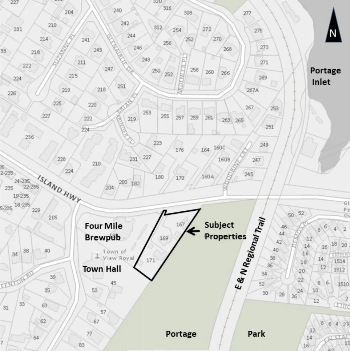
167, 169, 171 Island Highway
PURPOSE
To summarize information relating to Zoning Bylaw No. 900, 2014, Amendment Bylaw No. 1083, 2022 to rezone the site to a new zone, CD-27: Comprehensive Development (Island Highway - Portage)
Outline
- Proposed Zone
- Development Concept
- Official Community Plan
- Transportation Impact
- Servicing
- Community Amenity Contributions and Covenant
1. Proposed Zone
13.27 CD-27: Comprehensive Development (Island Highway - Portage)
13.27.1 Principal Uses
- Residential, Apartment
13.27.2 Accessory Uses
- Home Occupation
13.27.3 Lot Size, Lot Density, Building Size, and Siting
| CD-27: Comprehensive Development (Island Highway - Portage) | Requirement |
|---|---|
| Lot Size | |
| Lot Size, minimum | 1500 m² |
| Lot Width, minimum | 22 m |
| Lot Density | |
| Floor Space Ratio, Base Density | 1.5:1 |
| Floor Space Ratio with provision of 80% underground parking | Base Density + 0.1 |
| Lot Coverage, maximum | 60% |
| Impermeable Surface Coverage, maximum | 80% |
| Building Size | |
| Building Height, maximum | 18m |
| Building Width, minimum | 6m |
| Top storey | shall not exceed an area equivalent to 75 per cent of the floor area of the storey below |
| Accessory Building Height, maximum | 4.5m |
| Siting of Principal Buildings and Other Structures | |
| Front Lot Line Setback, minimum | 18m |
| Rear Lot Line Setback, minimum | 7.0m |
| Side Lot Line Setback, minimum abutting Lot A, Section 3, Esquimalt District, Plan EPP30869 (199 Island Highway) | 4.0m |
| Side Lot Line Setback, minimum abutting Portage Park | 8.0m |
| Flanking Lot Line Setback, minimum | 4.0m |
| Siting of Accessory Buildings and Other Structures | |
| All lot lines, minimum | 1.2m |
2. Development Concept
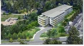
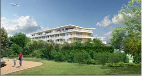
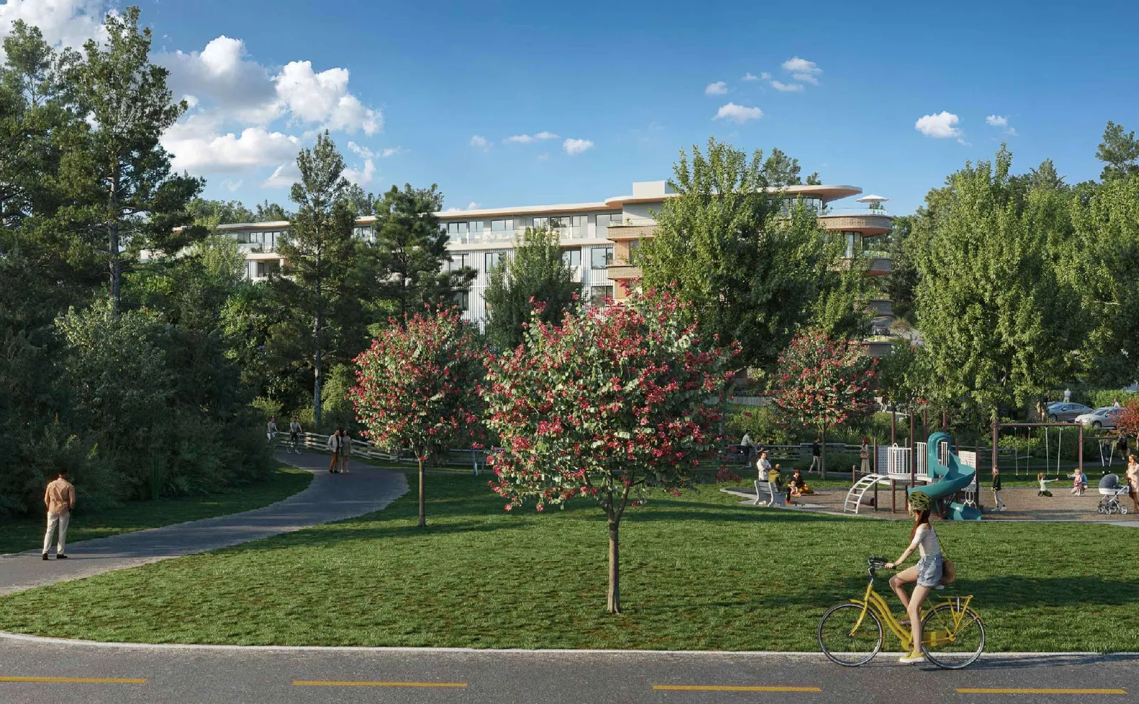
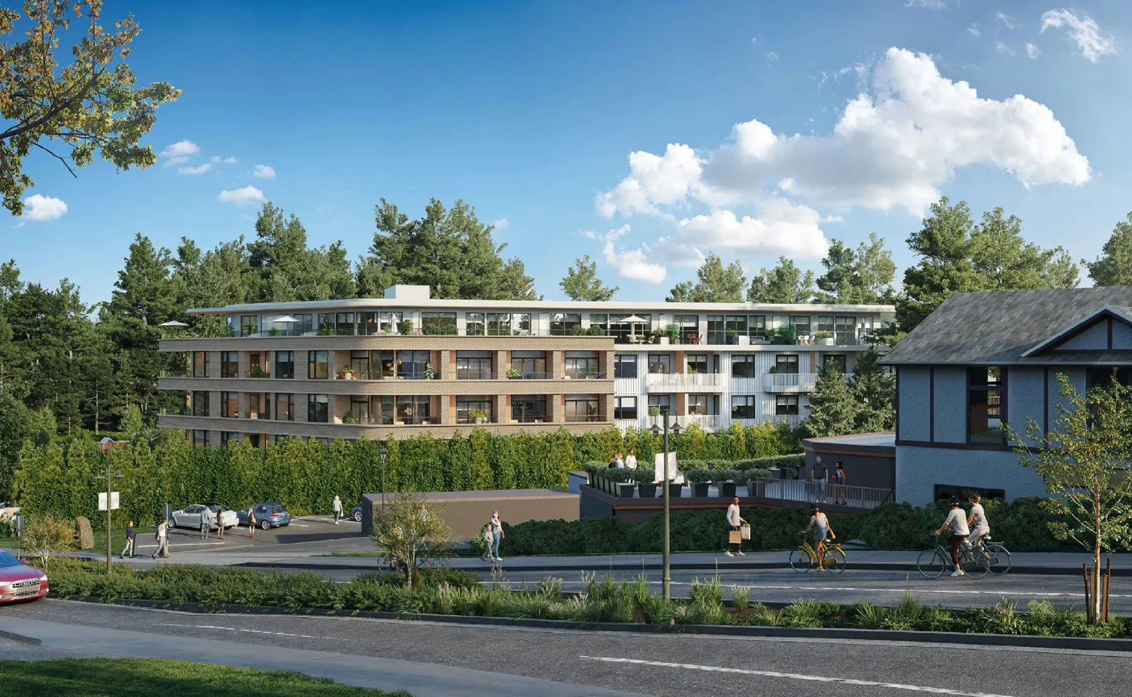
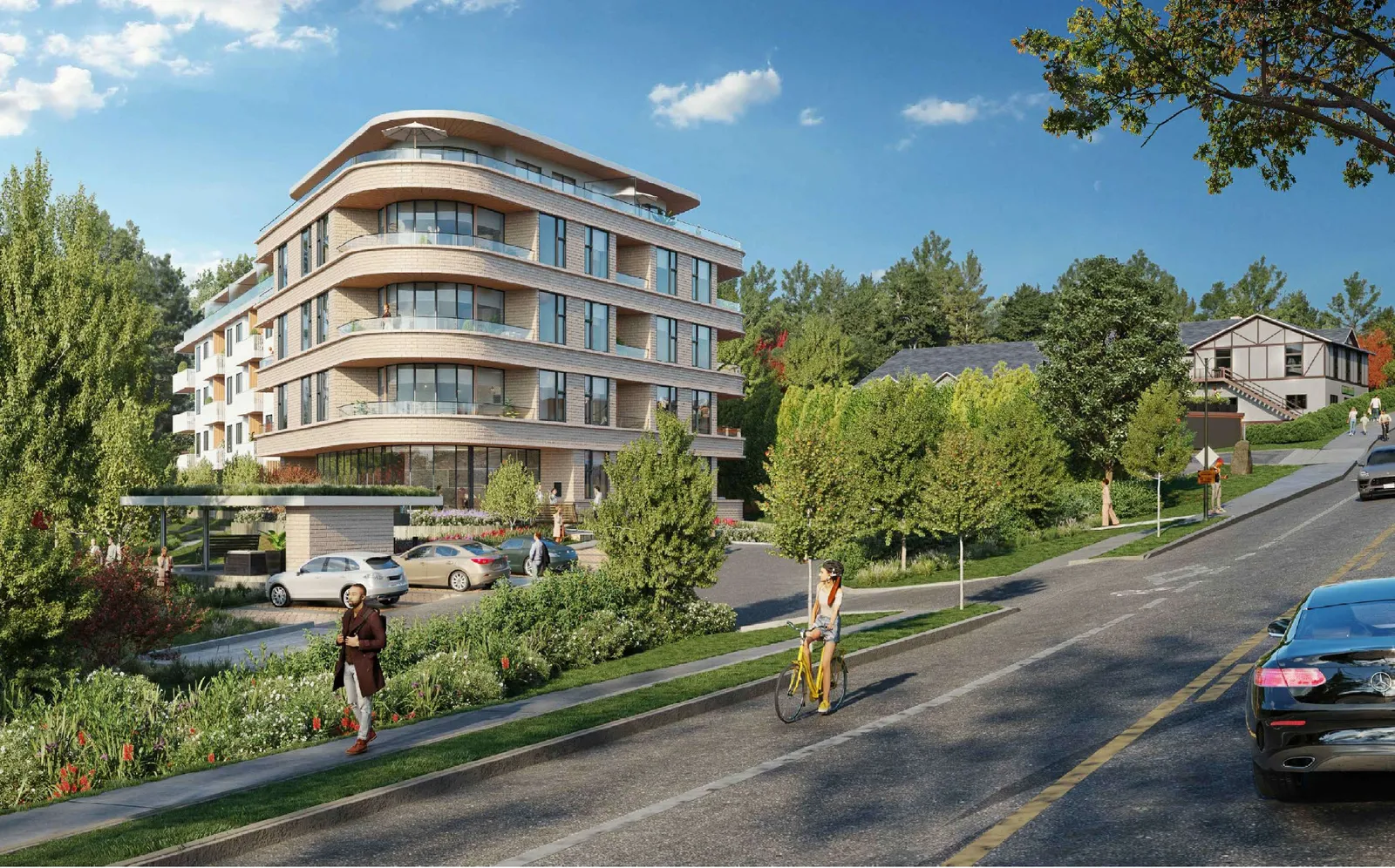
Development Concept changes
Original Development Concept
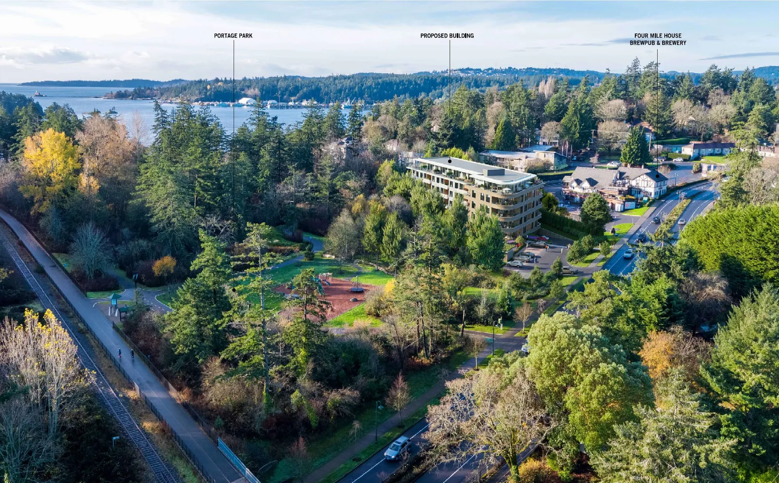
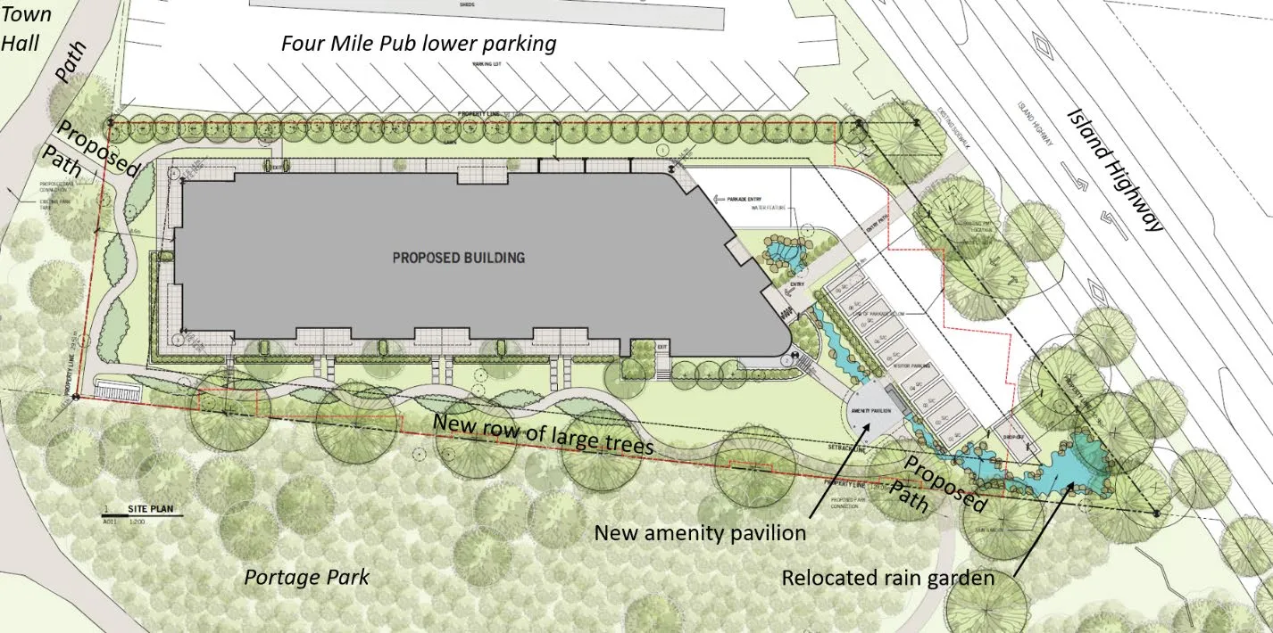
- Increased setback from the east side lot line abutting Portage Park from 4.0m to 8.4m
- Sand-coloured brick veneer and flat roof for a more classic rather than modern appearance
- Number of units reduced from 86 to 82
- Increase in number of three-bedroom units from 1 to 3
- New on-site amenity pavilion for residents of the property
- Relocation of rain garden closer to Island Highway
- Visitor spaces increased from six to nine
- Six onsite trees on along the Portage Park property line to provide visual screening
- Provision of four trees in Portage Park for additional screening of the development (this is not an amenity – it is to reduce the visual impact from the park and will be secured by covenant)
3. Official Community Plan
OCP Mixed Residential land use designation
- Low-rise apartment among supported land uses
- 4 storeys / 1.6 FRS for apartment dwelling
Policy LU4.2 Support Walking, Cycling and Transit Encourage higher density and mixed-use development at neighbourhood centres and along major transit corridors to promote walkability, cycling and transit use. Support higher residential density, commercial intensity and reduced parking requirements in areas well served by transit.
Policy ED3.1 Local Employees Ensure an adequate match between housing stock and the housing needs of local employees, with the intent to reduce long commutes and create a balanced and inclusive community.
4. Transportation Impact
- Transportation impact assessment (Attachment 7) concludes the proposed development would not significantly impact traffic volumes on Island Highway
- This site has immense potential for reduced automobile demand, given the following: a. opportunity for a direct connection to the Town’s multi-use path leading to the E&N Regional Trail; b. a variety of commercial services are within walking distance; and c. good access to one of the region’s most well-served transit routes.
4. Transportation Impact (cont’d)
- Transportation demand management strategy identifies options to provide more sustainable transportation choices and lessen the burden on the public transportation system (not required fr)
- (not zoning requirements as the current development concept complies with parking standards)
- The options will be considered at the development permit stage. They include: a. provision of 5-7 e-bikes for a bike share program; b. designation of a vehicle space to support ride-hailing and home delivery of meals/goods; c. enhanced security for bike storage such as self-contained lockers and video surveillance; and d. accommodation for cargo bikes, which are larger than standard bikes.
The report also recommends that the Town continue to advocate for the expansion of carsharing in the municipality.
5. Site Servicing
- The servicing brief estimates there is sufficient water and sewer capacity
- Stormwater management will be provided onsite and detailed in the development permit with no net increase in post-development site runoff permitted
- Stormwater entering the Town’s drainage system will be required to meet the requirements of Storm Water Regulation Bylaw No. 902, 2015
6. Community Amenity Contributions and Covenant
a. The three lots are not to be sold independently b. The three lots are to be consolidated prior to building permit issuance c. The voluntary community amenity contribution of $4,000 per residential unit is to be provided prior to building permit issuance (10% to CRD Housing Trust Fund) d. Prior to building permit issuance, installation of four trees in Portage Park to the Director of Engineering’s satisfaction, along with the provision of a security deposit for maintenance/replacement to be held by the Town for a two-year period. e. $50,000 for the removal of invasive plant species and tree planting at Portage Park under the direction of the Director of Engineering
RECOMMENDATION
THAT the report dated January 27, 2022 from the Senior Planner titled “Zoning Bylaw No. 900, 2014, Amendment Bylaw No. 1083, 2022 to Rezone 167, 169, and 171 Island Highway to CD-27: Comprehensive Development (Island Highway – Portage)” be received.