Public Hearing/Documents/Appendix 1 Map 1: TOWN OF VIEW ROYAL Prescribed Frequent Transit Stops (Option 1)
Appendix
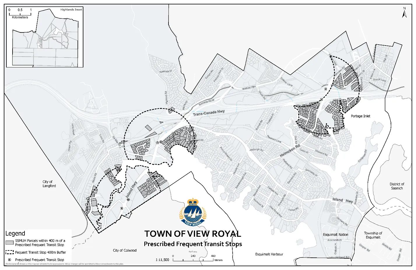
Appendix 1 Map 1: TOWN OF VIEW ROYAL Prescribed Frequent Transit Stops (Option 1)
June 18, 2024Page 341 section
Map showing the 400m buffer zones around prescribed frequent transit stops for housing density purposes.
Scale: 1:11,500
Appendix 1
Map 1
TOWN OF VIEW ROYAL Prescribed Frequent Transit Stops
Legend
- SSMUH Parcels within 400 m of a Prescribed Frequent Transit Stop (indicated by grey shading)
- Frequent Transit Stop 400m Buffer (indicated by a dashed black line)
- Prescribed Frequent Transit Stop (indicated by a circular star icon)
Scale 1:11,500 0 - 480 Meters (Highlands Inset scale: 0 - 1 Kilometers)
Page 34
Extracted from: 2024 06 18 Public Hearing Agenda - Agenda - Pdf