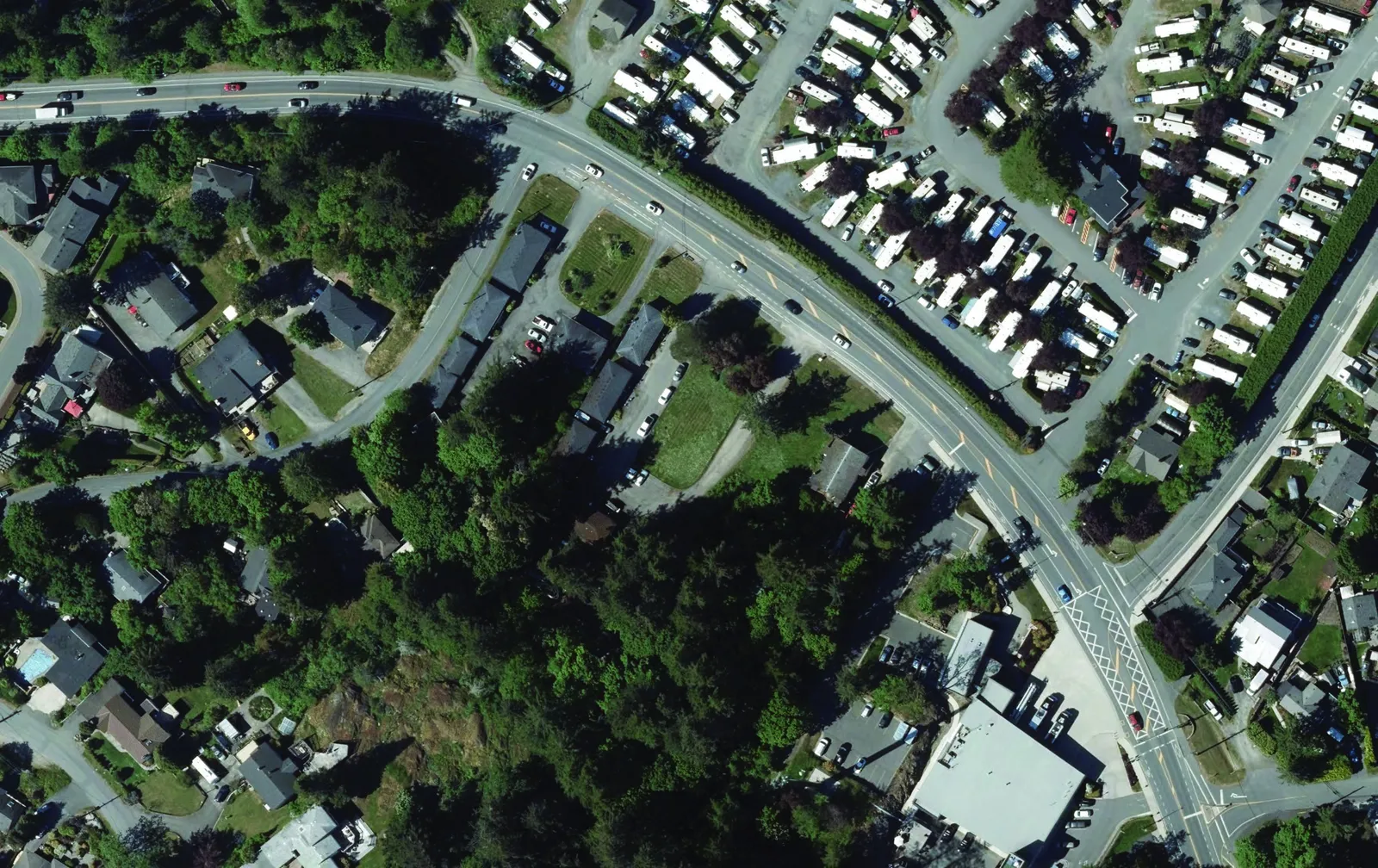
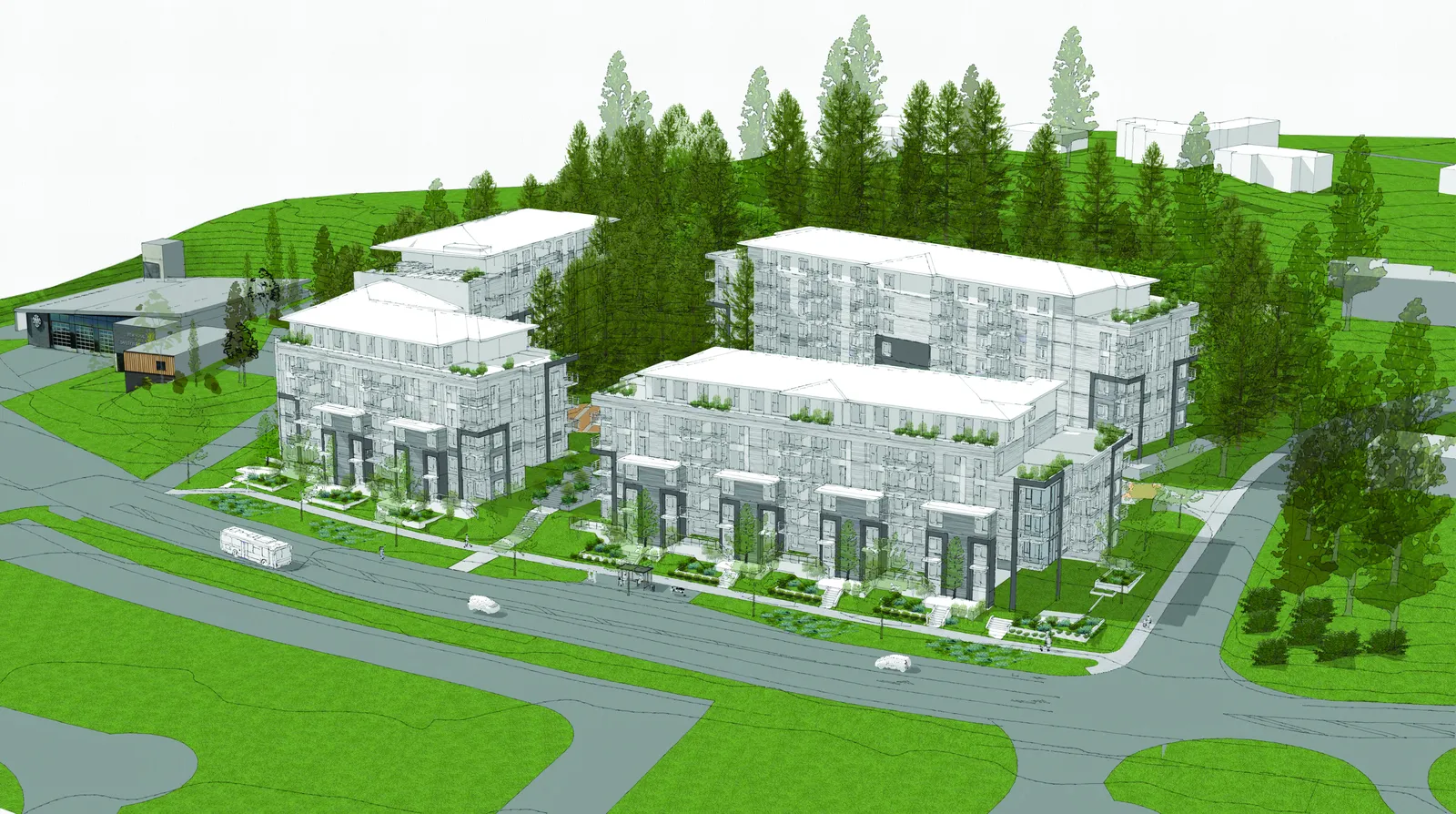
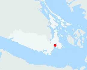
Presentation to Town of View Royal Public Hearing December 5, 2023 - 339 Island Highway
A slide deck from the applicant detailing the project benefits, site planning, tree preservation, and economic contributions of the proposed development.
339 Island Highway
Presentation to Town of View Royal
Public Hearing - December 5, 2023
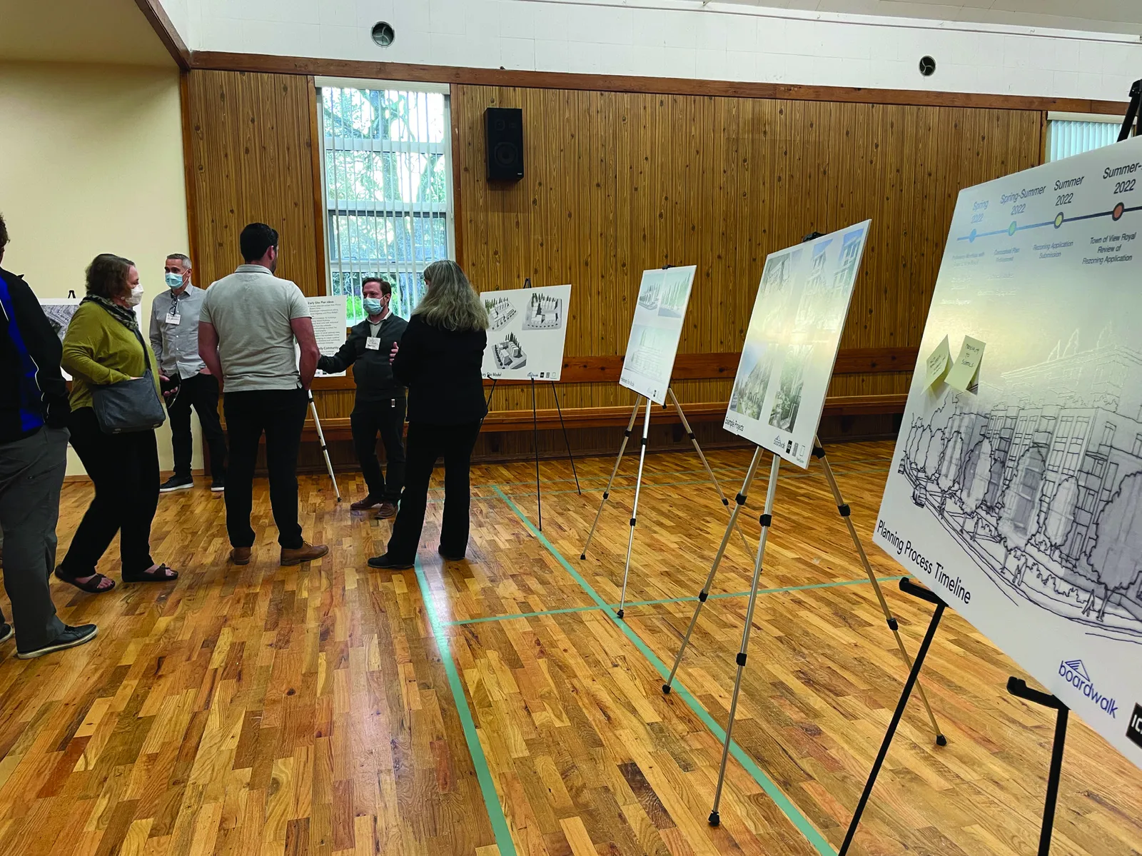
Planning Process and Timeline
- Spring-Summer 2022
- Preliminary Meetings with Town of View Royal
- Conceptual Plan Development
- Stakeholder Engagement
- Neighbourhood Meeting #1: April 2022
- Fall-Winter 2022
- Conceptual Plan Refinement
- Technical Studies
- Stakeholder Engagement
- Neighbourhood Meeting #2: December 2022
- January 2023
- Rezoning Application Submission
- Spring-Summer 2023
- Town of View Royal Review of Rezoning Application
- Stakeholder Engagement
- Neighbourhood Meeting #3: June 2023
- Council CoW Meeting: June 12, 2023
- Council CoW Meeting: July 11, 2023
- August 2023
- Plan Revisions based on Feedback
- Neighbourhood Meeting #4: August 2023
- Fall-Winter 2023
- Council Consideration: September 2023
- Council CoW Meeting: September 12, 2023
- 1st and 2nd Reading of Bylaws: November 7, 2023
- Neighbourhood Meeting #5: November 28, 2023
- Public Hearing: December 5, 2023

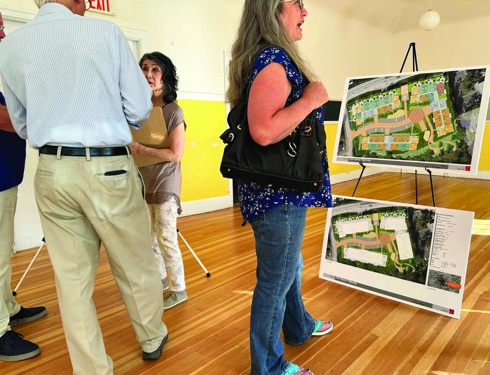
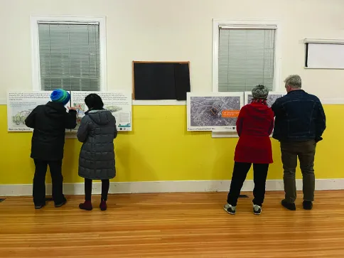
Public Benefits of Development
What does View Royal get?
The View Royal OCP contains the environmental, social and economic objectives of the community and strives to achieve greater sustainability. Our proposal is consistent with and implements key objectives of the OCP:
- Social Benefits
- Providing new rental housing
- Supporting existing tenants
- Providing amenity-rich, highly livable community
- Environmental Benefits
- Protecting mature trees with 40% of site as open space/no-build zone
- Achieving more compact development
- Building to Step Code 3
- Economic Benefits
- Providing over $3.5 million in fees, charges and amenity contributions*
- Providing additional estimated $600,000 + to CRD for water charges*
- Contributing estimated $400,000 in annual tax revenue**
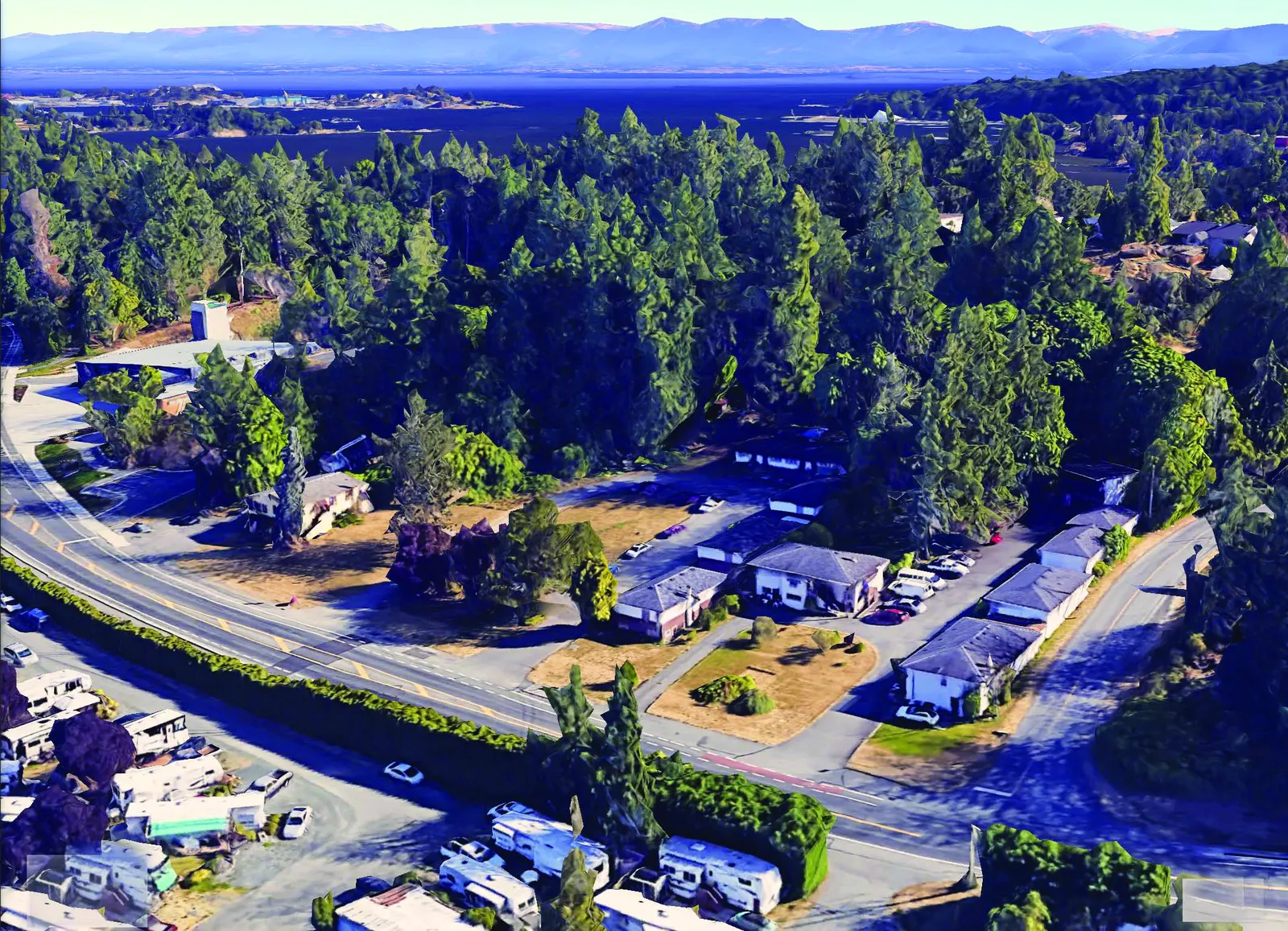
- Revitalizing a non-conforming, derelict site
* DCCs have been estimated based on SCHEDULE A – DEVELOPMENT COST CHARGES RATES Amendment Bylaw No. 1110, 2023 Development Class (Land Use). Multi-Family Residential per dwelling unit total of $6,519. The $1,000,000+ in Building Permits, Fees and charges are an estimate based on projected construction costs for building permit as well as other fees charged by View Royal. An additional $608,566 to CRD based on $2557 per unit. These estimates have not been verified by View Royal Staff and will be confirmed at the Building Permit stage.
** The estimate for increase in property taxes was determined by estimating the property value of the completed development, multiplying that by the current mill rate for Residential and then subtracting the current taxes being paid. These numbers have not been verified by View Royal Staff. The property value will be determined by BC Assessment Authority upon completion of the project and the mill rate applicable at that time will be used to calculate actual taxes payable. Based on projection to complete rezoning, apply for and receive Development Permit and Building Permit we estimate it will be a minimum of three or four years from now.
Public Benefits: OCP Implementation
- Consistent with OCP Mixed Residential designation
- Reduced density to 1.58 FSR, consistent with RM-3 Zone
- Additional residential development supports existing and planned neighbourhood commercial
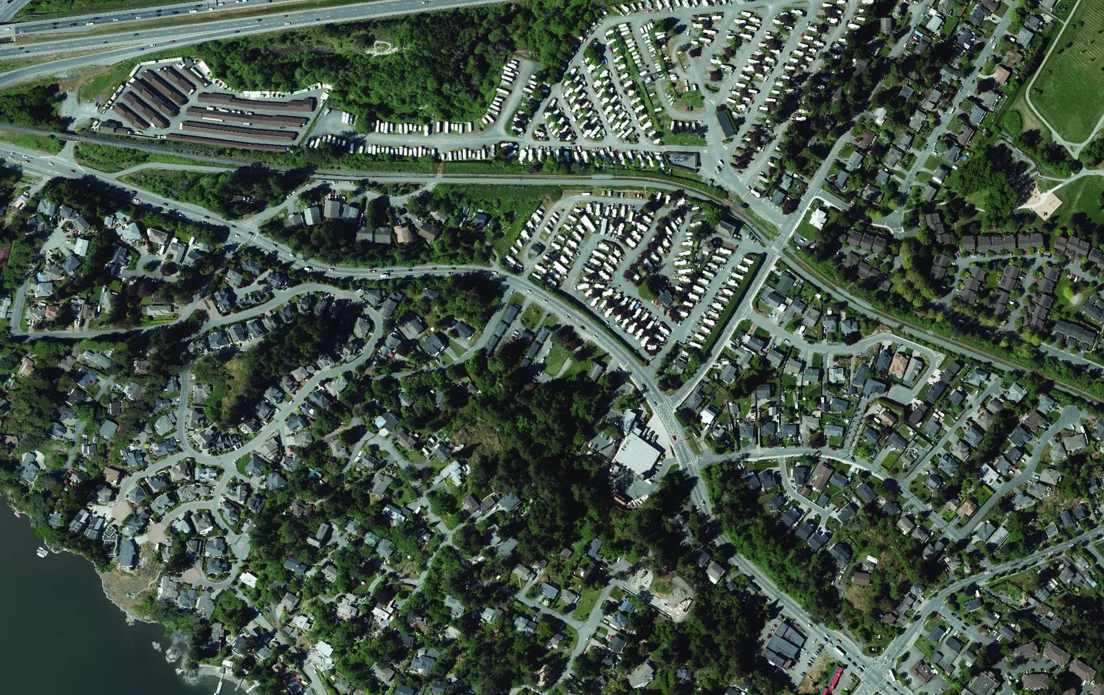
- Site is +/- 400 m to commercial node at Helmcken & Island Highway and across from OCP designated Town Centre
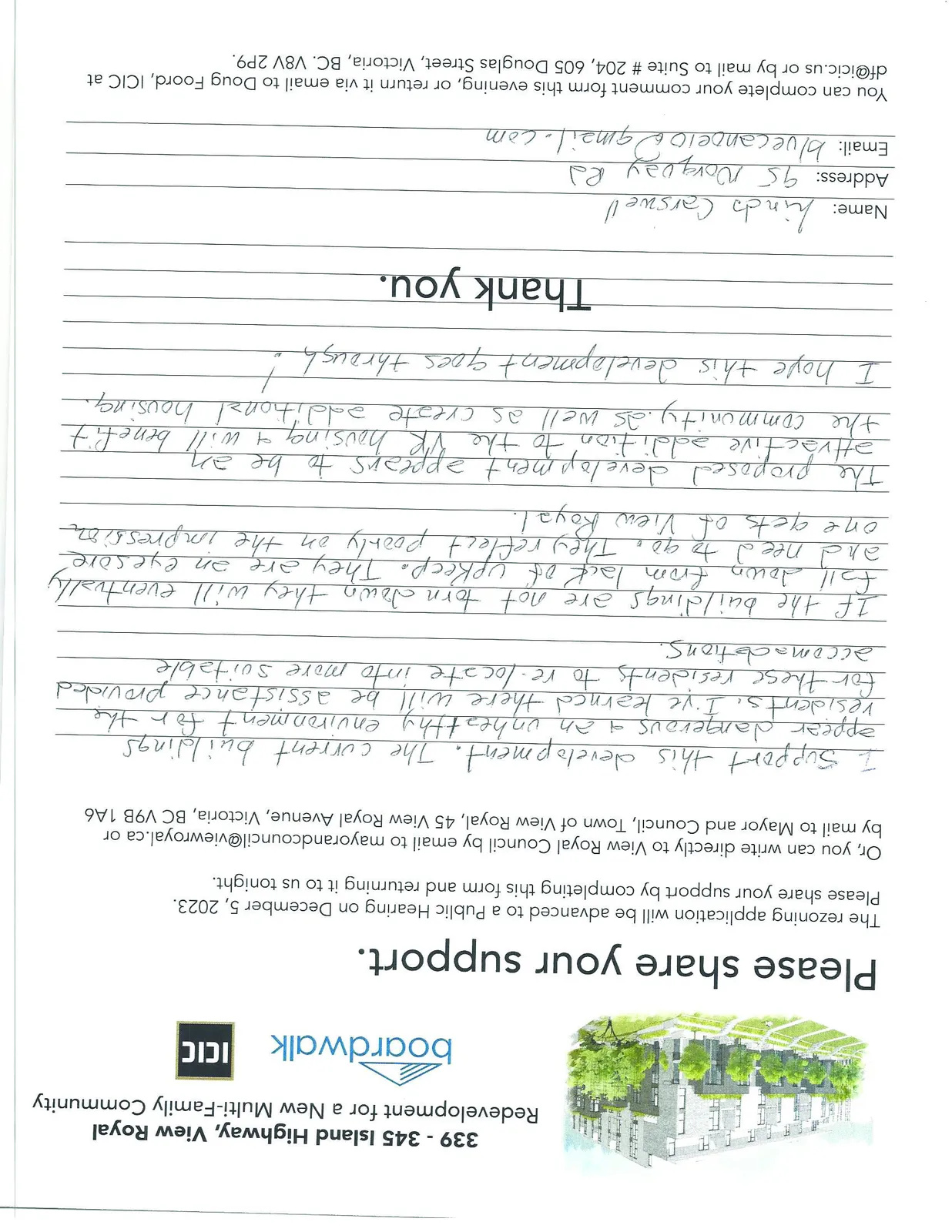
Public Benefits: Housing
- Creates 238 new rental homes, for +/-393 people (1.3-2.0 people / unit, depending on unit size, based on actual occupancy at local multi-family buildings)
- Addresses regional and national housing crisis, which requires more supply across the full housing spectrum
- Offers a more affordable market alternative to home ownership and single-family housing for seniors downsizing, young professionals and families
Public Benefits: Tenant Support Plan
- Existing buildings provide poor quality market rental housing; low rents reflect building age/condition
- Two fires in the last year resulted in loss of five units
- Robust Tenant Support Plan provides four times more financial support than required by the Residential Tenancy Act
- Hired a Tenant Relocation Coordinator to assist tenants find new accommodations
Public Benefits: Environment & Livability
- Preserves +/- 40% of site as no-build zone/open space, protected by covenant
- Building to Step Code 3, with efficient and economic heating and cooling systems
- Resident amenity spaces - indoor and outdoor with play structures, walking trails and gathering spaces
- Helps buffer neighbourhood from highway noise and designed to reduce noise impacts for residents
Public Benefits: Transportation
- New signalized traffic light at the intersection of Island Highway and Prince Robert at no cost to View Royal
- New bus stop complete with a new bus shelter
- Underground parking and bicycle parking meets bylaw requirements
- New sidewalks, boulevards, bike lanes for pedestrians and cyclists to upgrade Island Highway and Prince Robert Drive
Public Benefits: Economic
- $1,550,000+ in DCCs
- $952,000+ in voluntary CACs (238 units x $4000 per unit)
- $1,000,000+ in Building Permits, Fees and charges
- An additional $608,566 to CRD for water charges (238 units x $2557 per unit)
- +/- $400,000 increase in annual property tax revenue - could provide an additional RCMP officer and other municipal needs
- Increased tax revenue could help offset need for future tax increases
NOTE: All figures are estimates and have not been verified by View Royal staff.
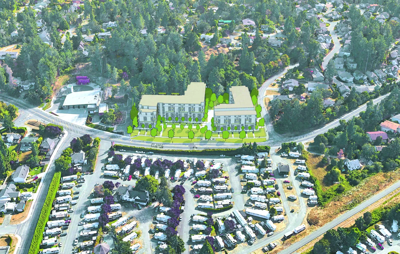
Potential Uses of DCCs and CACs
What could the Harbour Community get?
Over $3.5 million in fees/charges and CACs could be used for a number of projects of interest to the community. These ideas have been expressed by neighbours during our Neighbourhood Consultation Meetings and have not been reviewed by View Royal staff:
- Traffic calming or other rerouting measures to deter “short-cutting”
- Sidewalks connecting the site to the commercial at Island Highway and Helmcken
- Completion of the sidewalk on Jedburgh, which offers children a safe school route
- Development and maintenance of the Heddle Trail to connect Prince Robert and Heddle Park
- An additional bike lane on Burnett (E&N / Fire Hall)
Changes Informed by Feedback
| Feature | Original Application | Final Proposal |
|---|---|---|
| Land Use | Commercial Mixed-Use | Residential use only |
| OCP Alignment | Required an OCP Amendment | Consistent with OCP |
| Zoning & Density | CD Zone, density of 1.74 FSR | RM-3 Zone, density of 1.58 FSR |
| Unit Count | 260 units | 238 units |
| Parking | Surface driveway & some surface parking | All underground parking |
| Trees/Open Space | Limited tree preservation | 40% site preserved open space with extensive tree preservation |
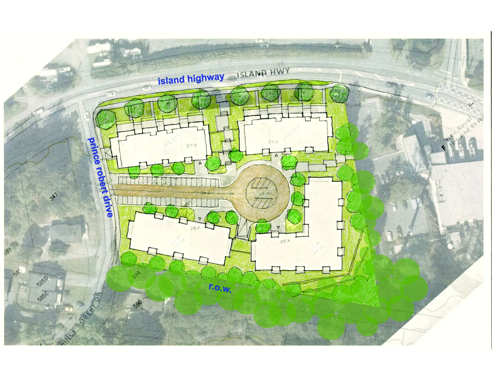

Increased Tree Preservation
- Reduced footprint and increased depth of u/g parking - now with two full levels
- Retaining 146 trees (18 municipal trees, 125 on-site trees plus 3 trees with shared ownership) for 3x increase in amount retained trees
- Replacing 43 removed trees at 2:1 ratio, full landscape plan at DP stage
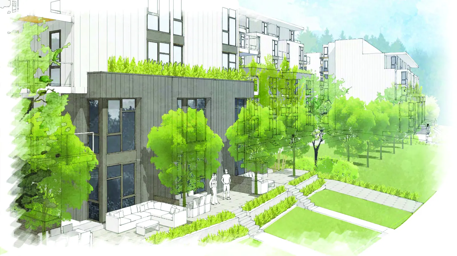
Decreased Site Coverage
- Site coverage of +/- 29% while allowable site coverage under RM-3 Zone is 60%
- Landscape areas for resident amenity space with walking trails
Reduced Massing & Height
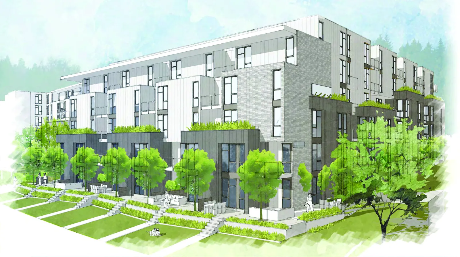
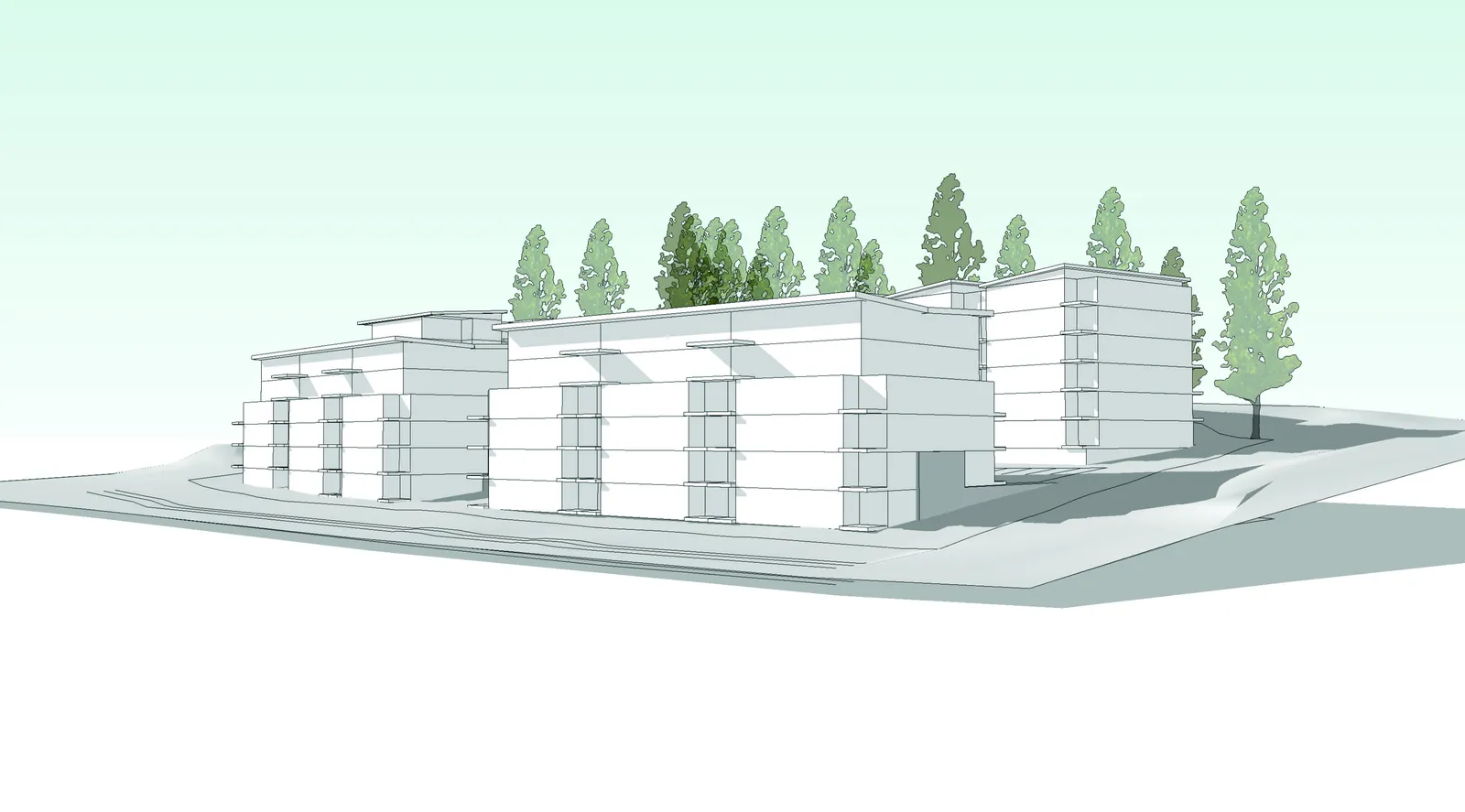
- Reduced massing and heights
- Pulled the buildings away from Island Highway
- Additional greenspace along Island Highway with reduced building frontages
- Buildings step from 5 to 6 storeys and are stepped lower into the topography