Appendix
Attachment 5: Waterfront View Analysis
June 27, 2017Page 861 section
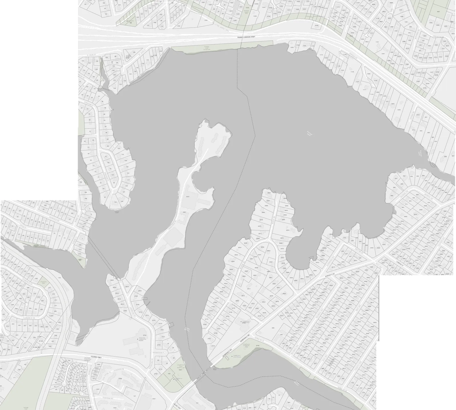
Analysis of the number of waterfront neighbors with views toward Christie Point and diagrams showing apparent building height vs. distance.
48 waterfront neighbors in View Royal with views toward the site37 waterfront neighbors in Saanich with views toward the site
WATERFRONT NEIGHBOURS WITH VIEWS TOWARD CHRISTIE POINT
| VIEW ROYAL | SAANICH | |
|---|---|---|
| 0-500' | 7 | 0 |
| 500-1000' | 35 | 25 |
| 1000-1500' | 6 | 12 |
Apparent building height (bh) vs. distance (d) from viewpoint (vp)
PRESENT NATURAL BOUNDARY AS SURVEYED DEC. 2015
D'AMBROSIO architecture + urbanism 2960 Jutland Road Victoria BC Canada V8T 5K2 tel: 250.384.2400 fax: 250.384.7893 eml: mail@fdarc.ca web: www.fdarc.ca
CHRISTIE POINT REDEVELOPMENT PLAN - REZONING CRAIGOWAN ROAD, VIEW ROYAL, BC
sheet title: WATERFRONT VIEW ANALYSIS Project No.: 1505 date: Feb 28 2017 scale: 1:5000 drawn by: NF chk'd by: FD
Page 86
Extracted from: 2017 06 27 Public Hearing Agenda - Agenda - Pdf