Appendix A: Conceptual Road Designs
Architectural drawings and schematic plans for proposed road and trail improvements near Christie Point.
Appendix A: Conceptual Road Designs
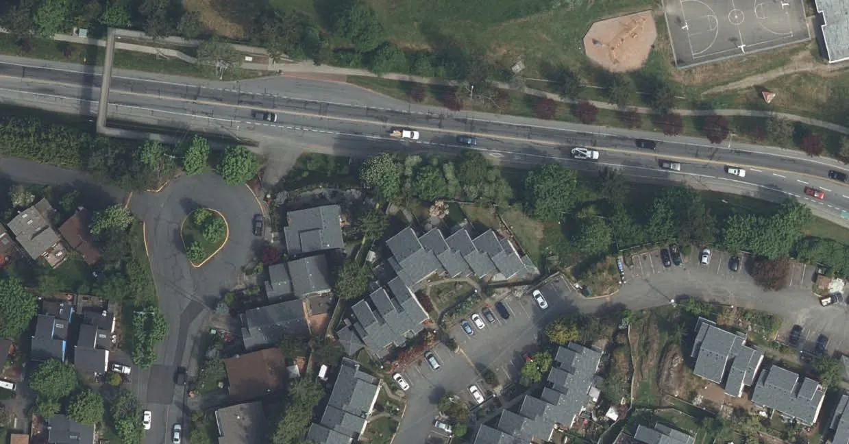
Street Aerial - Existing
Scale 1:1000
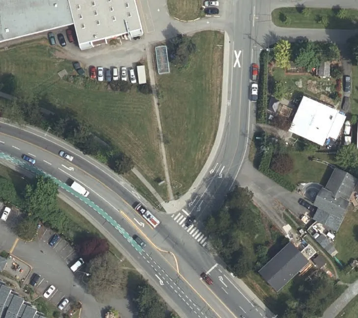
Street Section 1 - Existing
Scale 1:100
| Element | Width |
|---|---|
| Sidewalk | 1.6 m |
| Bike Lane | 1.9 m |
| Southbound Vehicle Lane | 3.6 m |
| Northbound Vehicle Lane | 3.6 m |
| Bike Lane | 1.9 m |
| Sidewalk | 1.6 m |
Project Information
- Architecture Firm: D'AMBROSIO architecture + urbanism
- Address: 2960 Jutland Road, Victoria BC Canada V8T 5K2
- Contact: tel 250.384.2400 | fax 250.384.7893 | eml mail@fdarc.ca | web www.fdarc.ca
- Project Name: Christie Point Redevelopment Plan - Rezoning
- Location: Craigowan Road, View Royal, BC
- Sheet Title: Island Highway Existing Condition
- Project No.: 1505
- Date: Apr 10 2017
- Drawn by: NF
- Checked by: FD
- Scale: Varies
Notes
- FOR ILLUSTRATIVE PURPOSES ONLY: SUBJECT TO ENGINEERING AND DESIGN DEVELOPMENT
- PROPERTY LINE INFORMATION IS APPROXIMATED FROM CRD REGIONAL MAP DATA
Schematic Street Plan - Proposed
Scale 1:1000
This plan illustrates proposed changes to Island Highway, including a new bus stop area and taper/merge lengths of 85m and 100m at the Shoreline Drive intersection.
Schematic Street Section 1 - Proposed
Scale 1:100

| Element | Width |
|---|---|
| Sidewalk | 1.6 m |
| Buffer | 0.5 m |
| Bike Lane | 1.6 m |
| Southbound Vehicle Lane | 3.5 m |
| Northbound Vehicle Lane | 3.5 m |
| Vehicle/Turn Lane | 3.5 m |
| Buffer | 0.5 m |
| Bike Lane | 1.6 m |
| Sidewalk | 1.6 m |
Project Information
- Sheet Title: Island Highway Schematic Design
- Project No.: 1505
- Date: Apr 10 2017
- Drawn by: NF
- Checked by: FD
- Scale: Varies
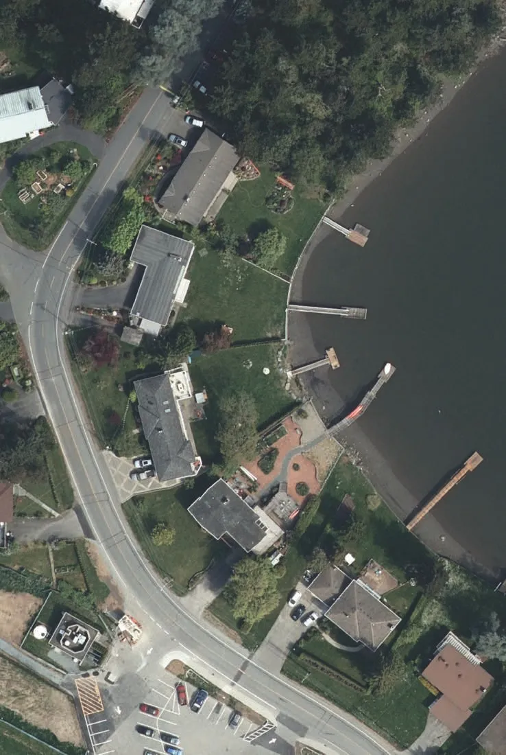
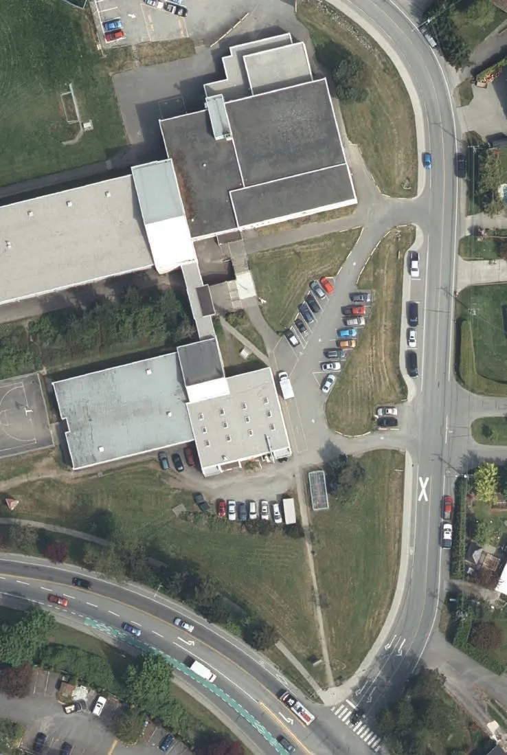
Street Aerial - Existing
Scale 1:1000
Street Plan - Proposed
Scale 1:1000
The plan shows the proposed layout of Shoreline Drive and Craigowan Road, featuring a new concrete pedestrian sidewalk and a marked crosswalk near the property entrance.
Property Entrance Detail Plan
Scale 1:250
This detail plan shows:
- Interlocking unit pavers at the property entrance.
- Marked crosswalk.
- New concrete pedestrian sidewalk.
- Pedestrian sidewalk connecting to Christie Point Building 'A'.
- Access path to Christie Point Forest Trail.
Project Information
- Sheet Title: Shoreline Drive Sidewalk
- Project No.: 1505
- Date: Apr 10 2017
- Drawn by: NF
- Checked by: FD
- Scale: Varies
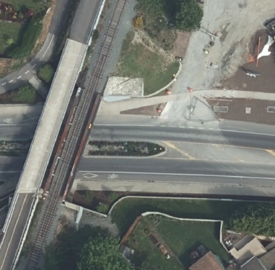
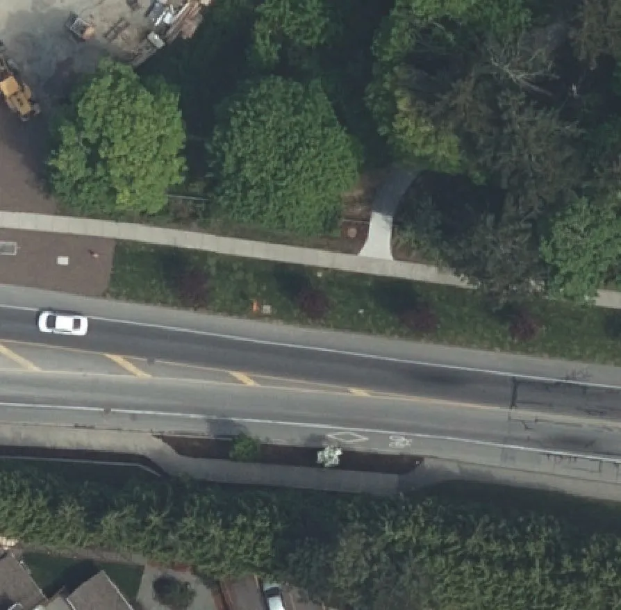
Street Aerial - Existing
Scale 1:1000
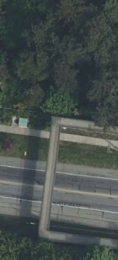
Schematic Trail/Road Intersection Plan - Proposed
Scale 1:1000
Features of the proposed intersection include:
- Paved two-way path with centre line.
- Curve design to slow cyclists for upcoming intersections.
- Integration with the Shoreline Trail and connection to Island Highway.
- Designated bus stop area.
Shoreline Trail Key Plan
Scale 1:2000
A contextual map showing the Shoreline Trail's connection to Island Highway and the surrounding area, with highlighted sections of 85m and 100m.
Project Information
- Sheet Title: Shoreline Trail / Island Highway Connection
- Project No.: 1505
- Date: Apr 10 2017
- Drawn by: NF
- Checked by: FD
- Scale: Varies