This site is in beta — data may be incomplete and features are still being added.
Public Hearing/Documents/Cascadia Attachment III – Typical Site Photographs
Appendix

Cascadia Attachment III – Typical Site Photographs
November 17, 2020Pages 91–921 section

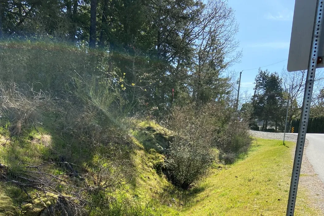
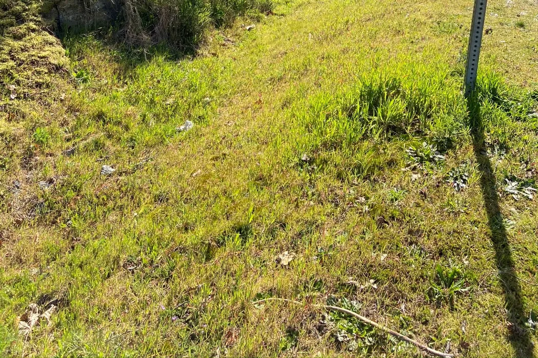
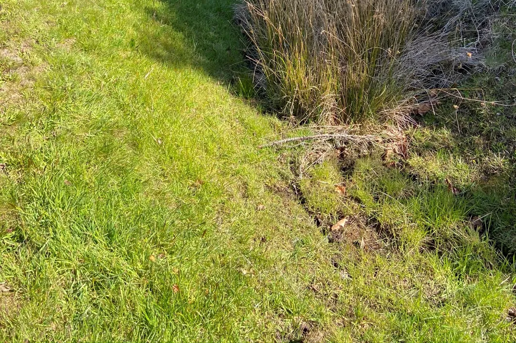
Photographs showing the wetted depressions/ditches on the western and southwestern flanks of the property.

1 CALL TO ORDER
9 Erskine LanePlate #1 and Plate #2

Attachment III – Typical Site Photographs

Typical view of the existing wetted depression and ditch area at the southwestern corner of the property
Ground-level detail of the vegetation and soil within the southwestern ditch area

Plate #1 – Typical view of the existing wetted depression/ditch onsite along the southwestern corner of the property
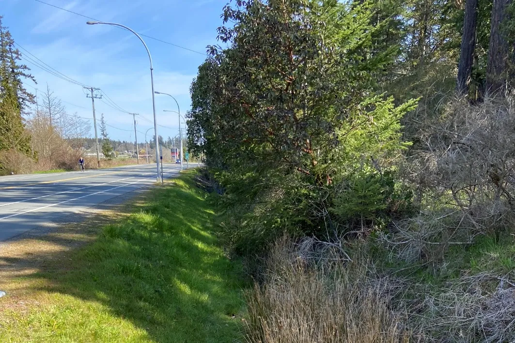
Typical view of the existing wetted depression and ditch area along the western flank of the property
Ground-level detail of the vegetation and soil within the western flank ditch area

Plate #2 – Typical view of the existing wetted depression/ditch onsite along the western flank of the property

Page 91–92

Document Images

(1)

Document image
Extracted from: 2020 11 17 Public Hearing - Agenda - Pdf