This site is in beta — data may be incomplete and features are still being added.
Public Hearing/Documents/Schedule 1 - Amendments to Zoning Map (Amendment Bylaw No. 1050, 2020)
Appendix

Schedule 1 - Amendments to Zoning Map (Amendment Bylaw No. 1050, 2020)

June 16, 2020Page 3181 section

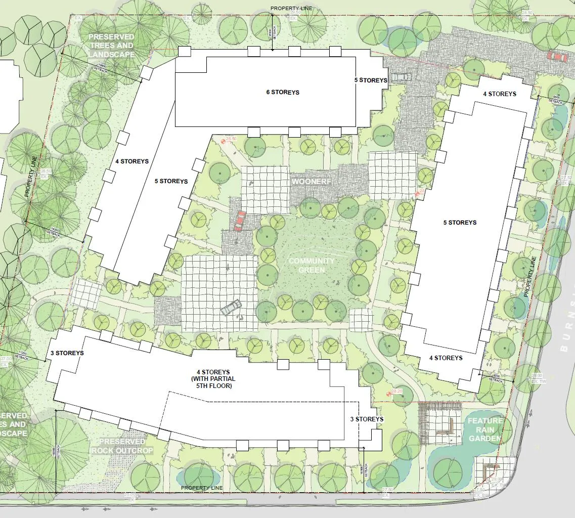
A zoning map amendment showing the division of the subject property into Subzones A, B, and C with designated building heights ranging from 3 to 6 storeys.

5.a Zoning Bylaw No. 900, 2014, Amendment Bylaw No. 1050, 2020
Bylaw No. 1050, 2020Subzone A: 3-4 storeysSubzone B: 4-5 storeysSubzone C: 6 storeys

Schedule 1

AMENDMENTS TO Schedule "2" Zoning Map of Zoning Bylaw, 2014, No. 900

Site plan map showing development subzones A, B, and C. The plan includes building footprints with labels for storey heights (3 to 6 storeys), a central community green, a woonerf, preserved trees and landscape areas, a preserved rock outcrop, and a feature rain garden.
Page 318
Extracted from: 2020 06 16 Public Hearing Agenda - Agenda - Pdf