This site is in beta — data may be incomplete and features are still being added.
Council Meeting/Documents/Attachment 4: Official Community Plan Context
Appendix

Attachment 4: Official Community Plan Context

March 4, 2014Page 501 section

Official Community Plan (OCP) map showing current land use designations.

1 CALL TO ORDER
Commercial (C), Mixed Residential (M-R) designations

Official Community Plan Context
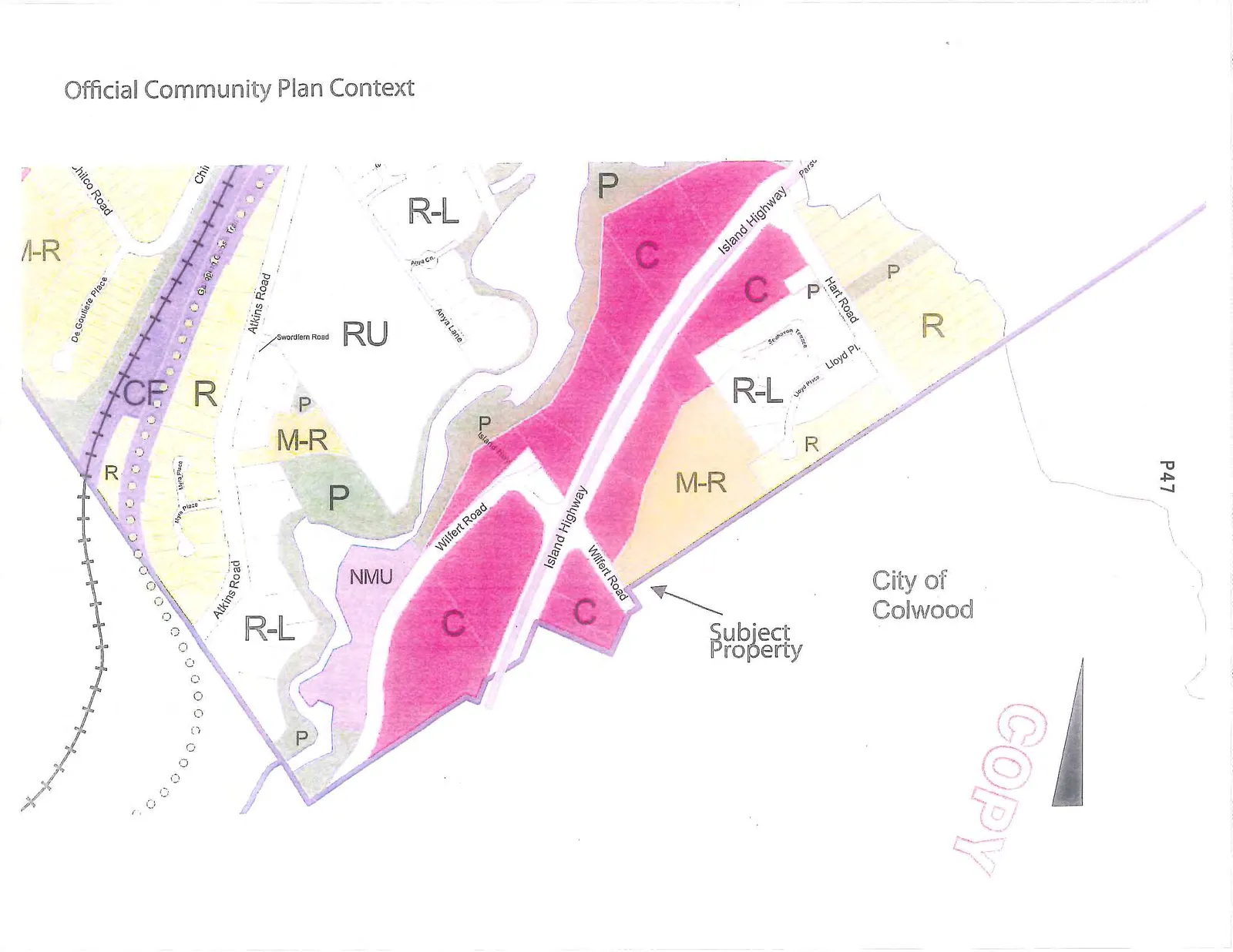
Map showing the Official Community Plan context for a subject property located at the intersection of Island Highway and Wilfert Road. The map displays various land use designations including Commercial (C), Multi-Residential (M-R), Residential Low-Density (R-L), Residential (R), Neighborhood Mixed Use (NMU), Rural (RU), and Park (P). Nearby streets include Atkins Road, Chilco Road, Hart Road, Anya Lane, Lloyd Pl, and De Goutiere Place. The map also indicates the boundary for the City of Colwood.
Page 50
Extracted from: 2014 03 04 Council Agenda