Appendix
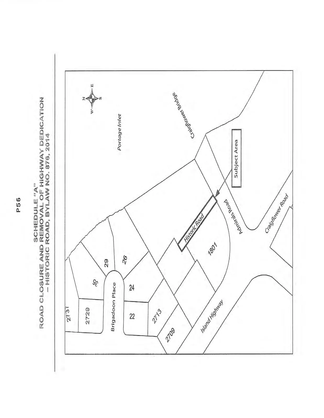
Schedule "A" Map to Bylaw No. 876
May 20, 2014Page 601 section
Map identifying the specific 'Subject Area' for the road closure near Portage Inlet.
SCHEDULE "A"
ROAD CLOSURE AND REMOVAL OF HIGHWAY DEDICATION – HISTORIC ROAD, BYLAW NO. 876, 2014
Page 60
Extracted from: 2014 05 20 Council Agenda