STAFF REPORT: ENVIRONMENTAL DEVELOPMENT PERMIT APPLICATION 2014/04 – 237 Anya Lane
Report considering an application to amend a development permit to allow a stacked boulder retaining wall to remain, despite being built within protected root zones.
PLANNING & DEVELOPMENT REPORT
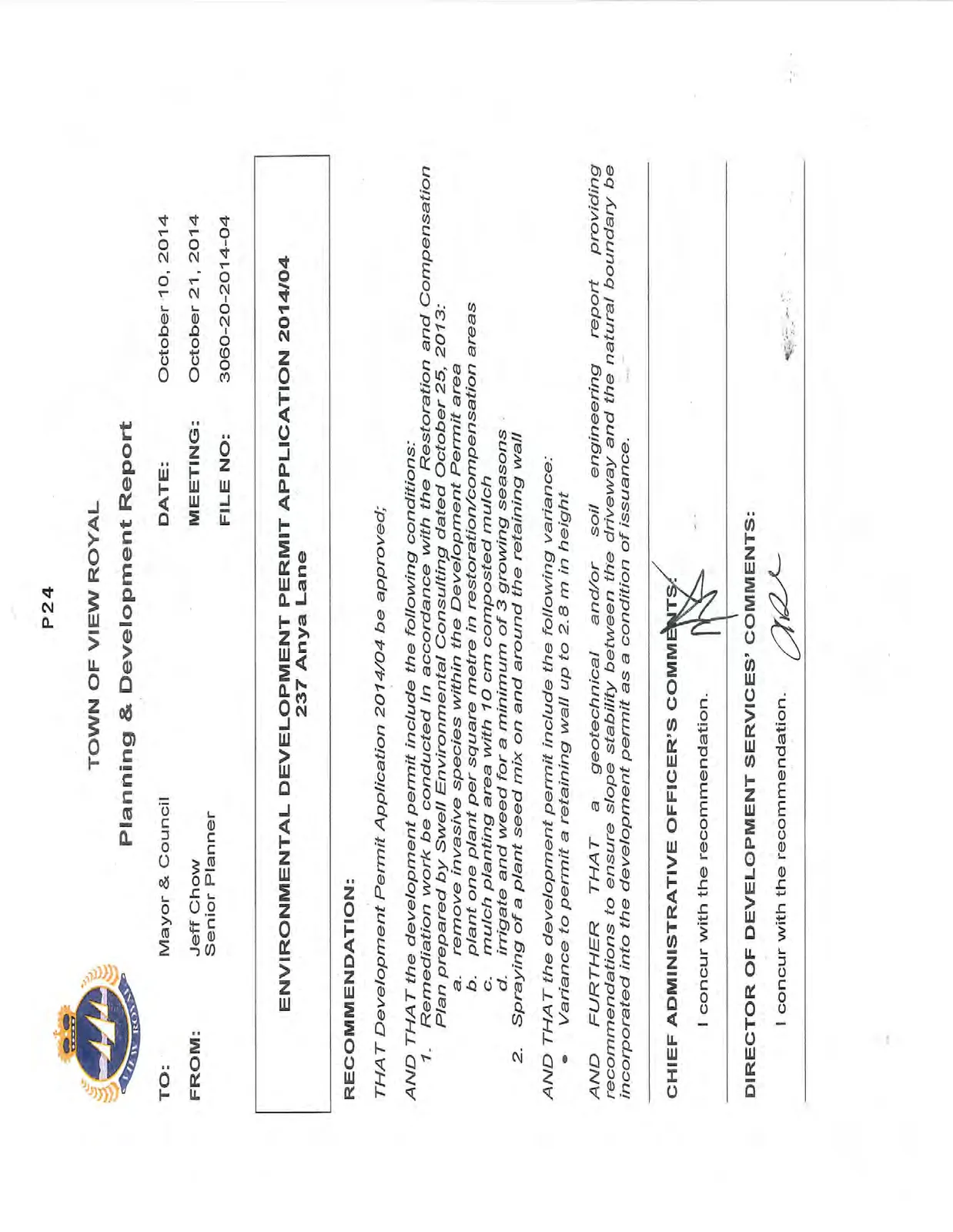
TO: Mayor & Council FROM: Jeff Chow, Senior Planner DATE: October 10, 2014 MEETING: October 21, 2014 FILE NO: 3060-20-2014-04
ENVIRONMENTAL DEVELOPMENT PERMIT APPLICATION 2014/04
237 Anya Lane
RECOMMENDATION:
THAT Development Permit Application 2014/04 be approved;
AND THAT the development permit include the following conditions:
- Remediation work be conducted In accordance with the Restoration and Compensation Plan prepared by Swell Environmental Consulting dated October 25, 2013: a. remove invasive species within the Development Permit area b. plant one plant per square metre in restoration/compensation areas c. mulch planting area with 10 cm composted mulch d. irrigate and weed for a minimum of 3 growing seasons
- Spraying of a plant seed mix on and around the retaining wall
AND THAT the development permit include the following variance:
- Variance to permit a retaining wall up to 2.8 m in height
AND FURTHER THAT a geotechnical and/or soil engineering report providing recommendations to ensure slope stability between the driveway and the natural boundary be incorporated into the development permit as a condition of issuance.
CHIEF ADMINISTRATIVE OFFICER'S COMMENTS: I concur with the recommendation.
DIRECTOR OF DEVELOPMENT SERVICES' COMMENTS: I concur with the recommendation.
PURPOSE
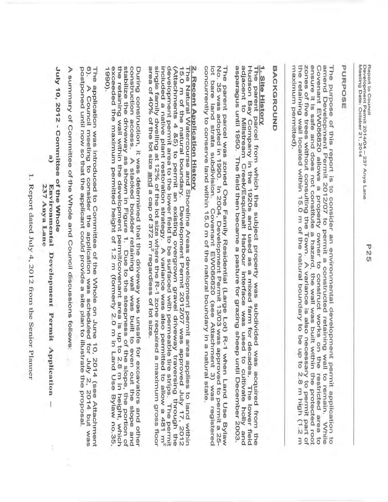
The purpose of this report is to consider an environmental development permit application to amend Development Permit 2012/07 to permit a constructed retaining wall to remain. While Covenant EW086820 allows a property owner to construct works on the restricted area to ensure it is safe and does not constitute a hazard, the wall was built within the protected root zones of five trees without consulting the Town. A variance is also necessary to permit part of the retaining wall located within 15.0 m of the natural boundary to be up to 2.8 m high (1.2 m maximum permitted).
BACKGROUND
1. Site History The parent parcel from which the subject property was subdivided was acquired from the Hudson Bay Company in the 1920s and used as a mixed farm for decades. The lower field adjacent to Millstream Creek/Esquimalt Harbour interface was used to cultivate holly and asparagus until 1950. The field then became a pasture for grazing sheep until December 2003.
The parent parcel was zoned One Family Residential (Large Lot) R-1 when Land Use Bylaw No. 35 was adopted in 1990. In 2004, Development Permit 13/03 was approved to permit a 25-lot bare land strata subdivision. Covenant EW086820 (see Attachment 3) was registered concurrently to conserve land within 15.0 m of the natural boundary in a natural state.
2. Recent Application History The Natural Watercourse and Shoreline Areas development permit area applies to land within 15.0 m of the natural boundary. Development Permit 2012/07 was approved July 17, 2012 (Attachments 4 & 5) to permit an existing overgrown gravel driveway traversing through the development permit area to the lower field to be surfaced with permeable tire strips. The permit included a native plant restoration strategy. A variance was also permitted to allow a 481 m² single family dwelling at 12% of the lot size where the R-1 zone required a maximum gross floor area of 40% of the lot size and a cap of 372 m² regardless of lot size.
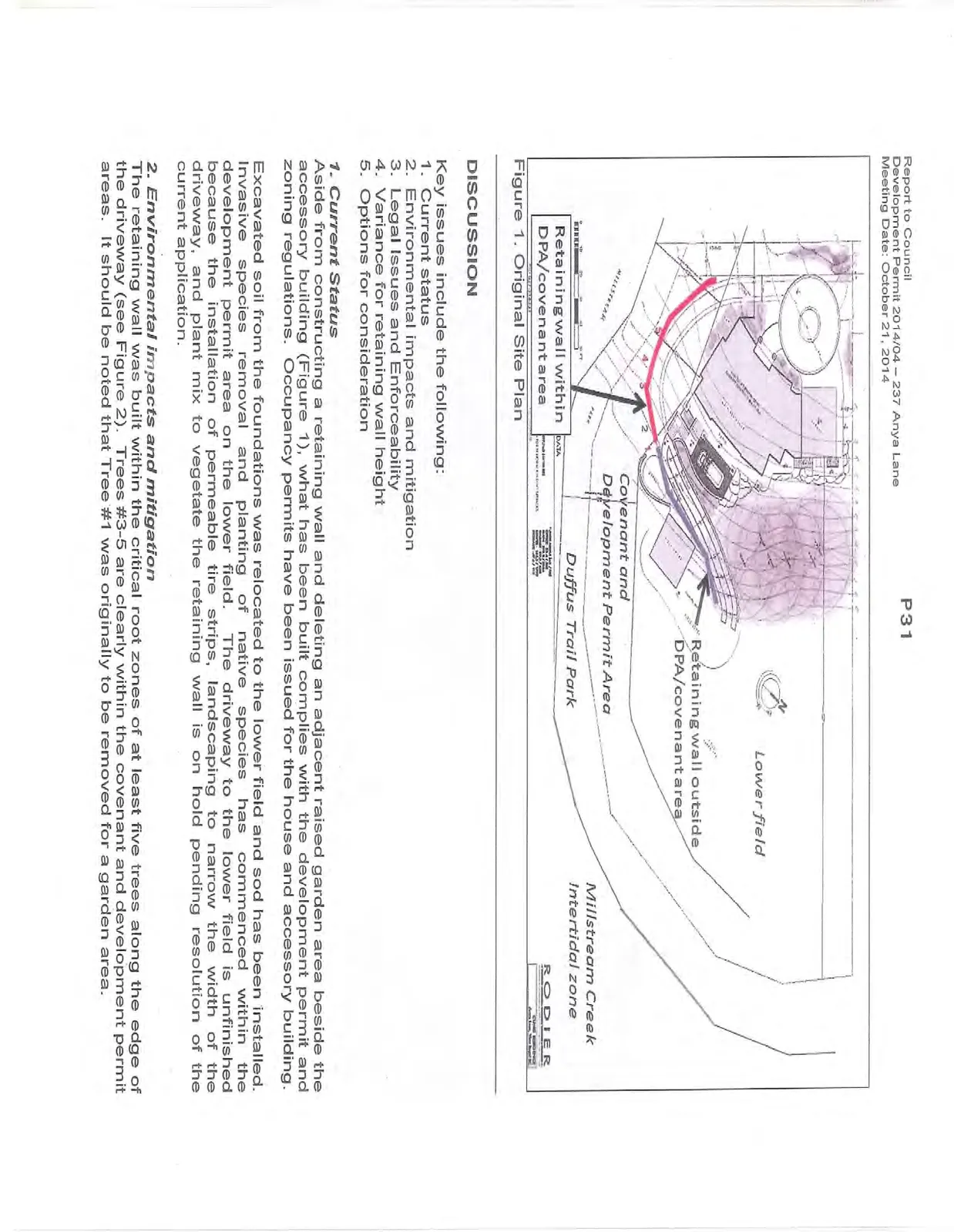
During construction, it was determined that the driveway was unsafe for excavators and other construction access. A stacked boulder retaining wall was built to even out the slope and stabilize the driveway as shown in Figure 1. Due to the steepness of the slope, the portion of the retaining wall within the development permit/covenant area is up to 2.8 m in height, which exceeded the maximum permitted height of 1.2 m (formerly 2.0 m in Land Use Bylaw no.35, 1990).
The application was introduced to Committee of the Whole on June 10, 2014 (see Attachment 6). A Council meeting to consider the application was scheduled for July 2, 2014 but was postponed until now so that the applicant could provide a site plan to illustrate the proposal.
A summary of Committee of the Whole and Council discussions follows:
July 10, 2012 - Committee of the Whole a) Environmental Development Permit Application – 237 Anya Lane
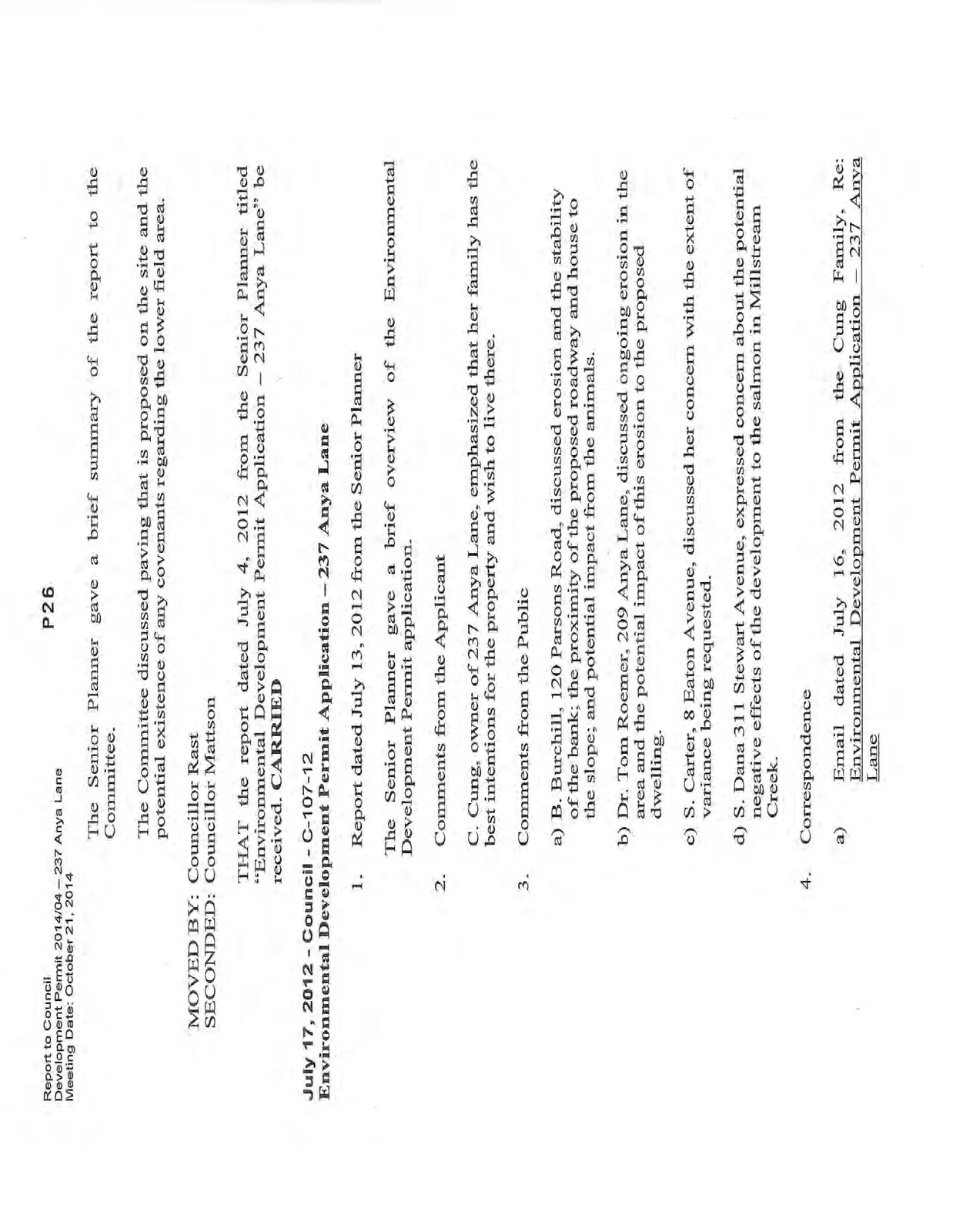
- Report dated July 4, 2012 from the Senior Planner The Senior Planner gave a brief summary of the report to the Committee. The Committee discussed paving that is proposed on the site and the potential existence of any covenants regarding the lower field area. MOVED BY: Councillor Rast SECONDED: Councillor Mattson THAT the report dated July 4, 2012 from the Senior Planner titled "Environmental Development Permit Application – 237 Anya Lane" be received. CARRIED
July 17, 2012 - Council - C-107-12 Environmental Development Permit Application – 237 Anya Lane
- Report dated July 13, 2012 from the Senior Planner The Senior Planner gave a brief overview of the Environmental Development Permit application.
- Comments from the Applicant C. Cung, owner of 237 Anya Lane, emphasized that her family has the best intentions for the property and wish to live there.
- Comments from the Public a) B. Burchill, 120 Parsons Road, discussed erosion and the stability of the bank; the proximity of the proposed roadway and house to the slope; and potential impact from the animals. b) Dr. Tom Roemer, 209 Anya Lane, discussed ongoing erosion in the area and the potential impact of this erosion to the proposed dwelling. c) S. Carter, 8 Eaton Avenue, discussed her concern with the extent of variance being requested. d) S. Dana 311 Stewart Avenue, expressed concern about the potential negative effects of the development to the salmon in Millstream Creek.
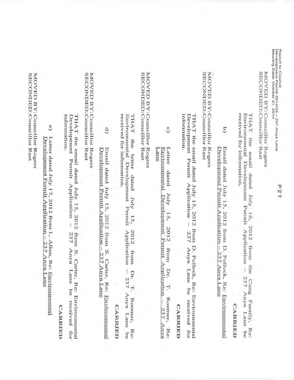
- Correspondence a) Email dated July 16, 2012 from the Cung Family, Re: Environmental Development Permit Application – 237 Anya Lane MOVED BY: Councillor Rogers SECONDED: Councillor Rast THAT the email dated July 16, 2012 from the Cung Family, Re: Environmental Development Permit Application – 237 Anya Lane be received for information. CARRIED b) Email dated July 15, 2012 from D. Pollock, Re: Environmental Development Permit Application – 237 Anya Lane MOVED BY: Councillor Rogers SECONDED: Councillor Rast THAT the email dated July 15, 2012 from D. Pollock, Re: Environmental Development Permit Application – 237 Anya Lane be received for information. CARRIED c) Letter dated July 15, 2012 from Dr. T. Roemer, Re: Environmental Development Permit Application – 237 Anya Lane MOVED BY: Councillor Rogers SECONDED: Councillor Rast THAT the letter dated July 15, 2012 from Dr. T. Roemer, Re: Environmental Development Permit Application – 237 Anya Lane be received for information. CARRIED d) Email dated July 15, 2012 from S. Carter, Re: Environmental Development Permit Application – 237 Anya Lane MOVED BY: Councillor Rogers SECONDED: Councillor Rast THAT the email dated July 15, 2012 from S. Carter, Re: Environmental Development Permit Application – 237 Anya Lane be received for information. CARRIED e) Letter dated July 17, 2012 from L. Allen, Re: Environmental Development Permit Application – 237 Anya Lane MOVED BY: Councillor Rogers SECONDED: Councillor Rast THAT the letter dated July 17, 2012 from L. Allen, Re: Environmental Development Permit Application – 237 Anya Lane be received for information. CARRIED f) Petition submitted by L. Allen on July 17, 2012 on behalf of some residents of Anya Court, Anya Lane and Atkins Road, Re: Environmental Development Permit Application – 237 Anya Lane MOVED BY: Councillor Rogers SECONDED: Councillor Rast THAT the petition submitted by L. Allen on July 17, 2012 on behalf of some residents of Anya Court, Anya Lane and Atkins Road, Re: Environmental Development Permit Application – 237 Anya Lane be received for information. CARRIED g) Letter received July 17, 2012 from B. Burchill, Re: Environmental Development Permit Application – 237 Anya Lane MOVED BY: Councillor Rogers SECONDED: Councillor Rast THAT the letter received July 17, 2012 from B. Burchill, Re: Environmental Development Permit Application – 237 Anya Lane be received for information. CARRIED
MOVED BY: Councillor Screech SECONDED: Councillor Rast
C-107-12 THAT Development Permit No. 2012/07 be approved as per the plans attached to the July 13, 2012 report from the Senior Planner;
AND THAT the Development Permit include the following conditions:
- Environmental monitoring to be periodically conducted during construction to ensure no pollution (e.g. sediments laden water, spills, etc.) will enter Millstream Creek;
- An ISA Certified Arborist monitor construction to ensure that the work does not detrimentally affect the health of the remaining trees within the development permit area;
- Construction be planned to minimize tree loss within the development permit area;
- Erosion and Sediment Control and Spill Prevention and Response measures such as the following will be implemented to protect downstream ecosystems:
- Schedule excavation and construction activities during dry weather
- Cover exposed soils (e.g. tarps, grass seed)
- Install sediment barriers as determined by a Registered Professional Biologist;
- Spill response kits will be on site when heavy machinery is working, with operators to be trained in their use;
- Equipment refueling at a designated location isolated from aquatic ecosystems and storm drain catch basins;
- Equipment will be inspected for leaks prior to beginning work;
- Invasive species removal will be conducted as part of the landscaping activities in the development permit area; and
- Only species native to southeastern Vancouver Island as listed in Section 3.0 of the April 12, 2012 report from Swell Environmental Consulting will be planted in the development permit area, with the exception of the driveway, garden and recreation field area.
AND THAT the Development Permit include the following variance:
- Variance to the maximum floor area from 372m² to 481m².
AND THAT permeable surfacing of an existing unpaved driveway partially within the restricted area of Covenant EW086820 as shown in the development permit plans be approved;
AND FURTHER THAT all motorized licensed vehicles be restricted from the use of the unpaved driveway and the field area. CARRIED Councillor Rogers voted in the negative
June 10, 2014 – Committee of the Whole a) Environmental Development Permit Application No. 2014/04 – 237 Anya Lane
- Report dated June 6, 2014 from the Senior Planner The Senior Planner gave a brief summary of the report to the Committee. D. Kung [sic], 237 Anya Lane, noted the reason for bringing in material and building up the development permit area was to protect the area. The Committee requested that staff provide a summary of work that has been approved; what work has currently been completed; and where the Town and applicant proceed from here. The Committee noted there needs to be narrowing of the driveway; possibility to achieve circular access to the Duffus Trail; and reassurances from the geotechnical engineer for long term stability.
MOVED BY: Councillor Screech SECONDED: Mayor Hill
THAT the report dated June 6, 2014 from the Senior Planner titled "Environmental Development Permit Application No. 2014/04 – 237 Anya Lane" be received. CARRIED
PROPOSAL
The proposal is to amend Development Permit 2012/07 to permit a loose stack boulder retaining wall (see Figure 1) to remain. While Covenant EW086820 allows a property owner to construct works on the restricted area to ensure it is safe and does not constitute a hazard, the wall was built within the protected root zones of five trees without consulting the Town. A variance is necessary to permit part of the retaining wall located within 15.0 m of the natural boundary to be up to 2.8 m high (1.2 m maximum permitted).
The vegetation lost by constructing the retaining wall is proposed be mitigated in accordance with the recommendations of the October 25, 2013 report from Swell Environmental Consulting (Attachment 7).
- Remove invasive species within the Development Permit Area
- Plant one plant per square metre in restoration/compensation area in the EDPA lower field area (plant list in report Tables 1 & 2)
- Mulch planting areas with 10 cm composted mulch
- Irrigate and weed for a minimum of three growing seasons
The applicant also proposes to spray the retaining wall with a low maintenance xeriscape plant seed mix to naturalize the boulders and spaces in between with non-invasive vegetation.
A revised site plan (Attachment 8) has been provided to illustrate the proposal. The approved development permit (without retaining walls) is shown in Figure 1. The proposed permeable paving strips within the development permit area would be the same as the approved development permit. The driveway would be narrowed and kept under 3.3 m wide using native planting along the edge of the retaining wall. The remaining retained area would be grass surfaced.
The plan also show proposed railing to be installed on the accessory building to create a rooftop deck but this would not be part of the development permit. A building permit and zoning compliance would be required.
DISCUSSION
Key issues include the following:
- Current status
- Environmental impacts and mitigation
- Legal Issues and Enforceability
- Variance for retaining wall height
- Options for consideration
1. Current Status Aside from constructing a retaining wall and deleting an adjacent raised garden area beside the accessory building (Figure 1), what has been built complies with the development permit and zoning regulations. Occupancy permits have been issued for the house and accessory building.
Excavated soil from the foundations was relocated to the lower field and sod has been installed. Invasive species removal and planting of native species has commenced within the development permit area on the lower field. The driveway to the lower field is unfinished because the installation of permeable tire strips, landscaping to narrow the width of the driveway, and plant mix to vegetate the retaining wall is on hold pending resolution of the current application.
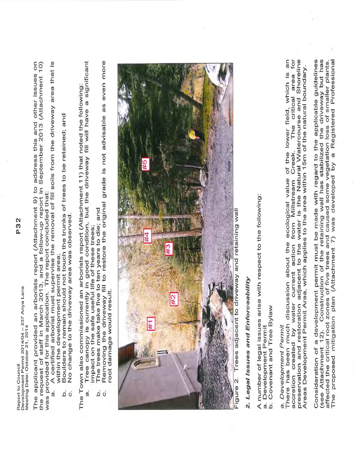
2. Environmental impacts and mitigation The retaining wall was built within the critical root zones of at least five trees along the edge of the driveway (see Figure 2). Trees #3-5 are clearly within the covenant and development permit areas. It should be noted that Tree #1 was originally to be removed for a garden area.
The applicant provided an arborists report (Attachment 9) to address this and other issues on the request of staff in March 2013, and a follow-up report in September 2013 (Attachment 10) was provided for this application. The report concluded that: a. A certified arborist must supervise the removal of fill soils from the driveway area that is within the development permit area; b. Boulders to remain should not touch the trunks of trees to be retained; and c. No change to the driveway area was observed.
The Town also commissioned an arborists report (Attachment 11) that noted the following: a. Tree canopy is currently in good condition, but the driveway fill will have a significant impact on the safe useful life of these trees; b. The trees make take five to ten years to die; and c. Removing the driveway fill to restore the original grade is not advisable as even more root damage would result.
2. Legal Issues and Enforceability A number of legal issues arise with respect to the following: a. Development Permit b. Covenant and Tree Bylaw
a. Development Permit There has been much discussion about the ecological value of the lower field, which is an accretion created by water current action from Millstream Creek. The critical area for preservation and restoration adjacent to the water is the Natural Watercourse and Shoreline Areas Development Permit Area, which applies to the area within 15m of the natural boundary.
Consideration of a development permit must be made with regard to the applicable guidelines (see Attachment 12). Construction of the retaining wall has stabilized the driveway but has affected the critical root zones of five trees and caused some vegetation loss of smaller plants. The proposed mitigation plan (Attachment 7) was developed by a Registered Professional Biologist to address the guidelines based on the lost ecological value of removed vegetation through a net increase in the proposed volume of planting adjacent to Duffus Trail Park.
Development Permit 2012/07 includes a condition that motorized licensed vehicles be restricted from the use of the unpaved driveway and the field area. While the condition to restrict motorized licensed vehicles was incorporated into the development permit, staff has found that the provision is not legally enforceable as it goes beyond the powers of development permit regulations. The applicant was agreeable to the concept as the intended use of the accessory building in the lower field is to store a mower and a small boat. The boat trailer is small enough that a cart could be used to move it.
The Parks Division has a strong interest in access to the driveway as it is the only vehicle-accessible route for the maintenance fencing, trails, and vegetation in Duffus Trail Park. The property owner has been cooperative in the past but without the access, expensive barging of heavy materials would be required. It should be noted that the owner recently granted access for a Capital Regional District program to remove Scotch Broom from Duffus Trail Park. Without this access, it may not be feasible to continue such initiatives in the future, and more accessible sites elsewhere would receive the benefit of environmental restoration instead.
b. Covenant EW086820 and Tree Bylaw The covenant calls for the land to be kept in a natural state but does allow works within the restricted area to ensure that it is safe and does not constitute a hazard. Stabilizing the driveway was necessary to ensure safety during construction but the damage to the trees from constructing the retaining wall is a breach. Fines have been issued. In addition to fines and the proposed mitigation plan, a suitable remedy for tree damage should include planting of additional trees.
4. Variance for Retaining Wall Height The highest part of the retaining wall within the required building setback is 2.8m where the permitted a maximum height is 1.2 m (formerly 2.0 m in Land Use Bylaw 1990, No. 35). There are no significant visual or other impacts on adjacent residents. The applicant has commissioned engineering certification but the scope should be increased to consider the potential impact of continued erosion by water from Millstream Creek at the base of the slope.
5. Options for consideration There are several options for Council consideration. Staff recommends Option 2 because environmental mitigation with planting and replacement trees would be provided; there would be no further damage from deconstructing part of the retaining wall; and there would be an opportunity for the Town and other parties to use the driveway for access to Duffus Trail Park for maintenance and restoration work.
Option 1. Approve the application as presented To mitigate the loss of native vegetation in the retaining wall area, the proposal provides for extensive removal of invasive species and the re-introduction of native planting adjacent to Duffus Trail Park. Over time, these enhancements would help to restore part of the natural eco-system that was stripped by the historic farming use of the field.
The owner's commitment for plant seeding of the retaining wall should be a condition of the development permit. The remediation plan should also specify the specific size of additional trees to be planted in terms of volume to make up for the expected loss of the damaged trees and a tree permit should be required as a condition to compensate for the five trees with ten additional trees as per the Tree Bylaw.
Option 2. Approve the application with additional conditions Between the damage to the tree roots that help to hold up the slope and the continuing shoreline erosion and undermining caused by Millstream Creek, it would be prudent to require that the applicant commission a study on the long term stability of the entire bank by appropriate professionals such as geotechnical, hydrological, and/or soils engineers. The estimate cost of geotechnical review (not including survey work) is over $1500.
Option 3. Reject the variance The arborist report commissioned by the Town (Attachment 7) does not recommend removal of the retaining wall because it would create further damage to the trees. For safety reasons, the covenant would permit the portions of the retaining within the development permit that are less than 1.2 m tall to remain.
If the variance was rejected, up to 0.8 m of the retaining wall height would have to be removed within the development permit area. This would likely render the driveway unsafe, and a hand rail would be required by the Building Code. There would be significant consequences for the Parks Division or other agencies to conduct maintenance and restoration work in Duffus Trail Park.
Option 4. Table the application If more information is required by Council, consideration of the application would be postponed until after the November 15 election.
RECOMMENDATIONS:
THAT Development Permit Application 2014/04 be approved;
AND THAT the development permit include the following conditions:
- Remediation work be conducted In accordance with the Restoration and Compensation Plan prepared by Swell Environmental Consulting dated October 25, 2013: a. remove invasive species within the Development Permit area b. plant one plant per square metre in restoration/compensation areas c. mulch planting area with 10 cm composted mulch d. irrigate and weed for a minimum of 3 growing seasons
- Spraying of a plant seed mix on and around the retaining wall
- A tree permit be required to plant ten trees within one year to compensate for the future loss of five damaged trees.
AND THAT the development permit include the following variance:
- Variance to permit a retaining wall up to 2.8 m in height
AND FURTHER THAT a geotechnical and/or soil engineering report providing recommendations to ensure slope stability between the driveway and the natural boundary be incorporated into the development permit as a condition of issuance.
SUBMITTED BY: Jeff Chow, MCIP, RPP Senior Planner
REVIEWED BY: Lindsay Chase, MCIP, RPP Director of Development Services
ATTACHMENTS
- Location plan
- Letter from Applicant – May 6, 2014
- Covenant EW086820 (6 pages)
- Report to Committee of the Whole "Environmental Development Permit Application – 237 Anya Lane", July 10, 2012 meeting (5 pages)
- Report to Council "Environmental Development Permit Application – 237 Anya Lane", July 17, 2012 (6 pages)
- Report to Committee of the Whole "Environmental Development Permit Application 2014-04 – 237 Anya Lane", June 19, 2014 (6 pages)
- Restoration and Compensation Plan – Swell Environmental Consulting – October 25, 2013 (5 pages)
- Site Landscaping L1 - Outline Home Design, August 26, 2014
- Tree Impact Review for 237 Anya Lane – Talbot McKenzie & Associates – March 14, 2013 (3 pages)
- Tree Impact Review for 237 Anya Lane – Talbot McKenzie & Associates – September 26, 2013 (2 pages)
- 237 Anya Lane Damage Assessment Report - Michael Gye & Heidi Krogstad Urban Forestry – April 29, 2014 (6 pages – note page 5 is blank)
- Natural Watercourse and Development Permit Guidelines (7 pages)
Document Images
(11)