This site is in beta — data may be incomplete and features are still being added.
Council Meeting/Documents/Attachment 1. Location Plan - 1652 Island Highway
Appendix

Attachment 1. Location Plan - 1652 Island Highway

July 2, 2014Page 222 sections

Map showing the location of the subject property for Development Permit 2014/07.

1 CALL TO ORDER
1652 Island Highway

Report to Council

Development Permit 2014/04 – 1652 Island Highway

Meeting Date: July 2, 2014

Page 22

Attachment 1. Location Plan
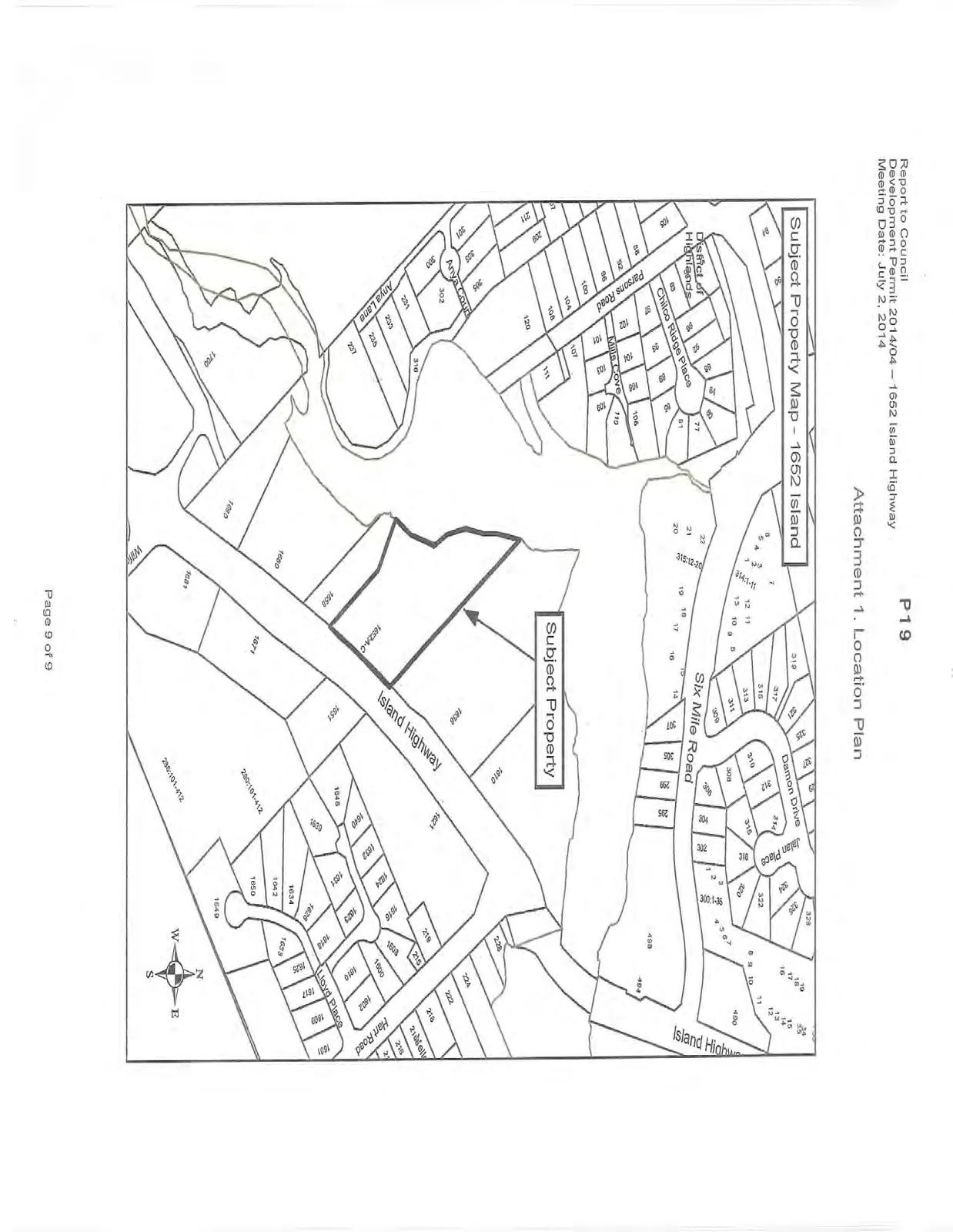
Location plan map titled "Subject Property Map - 1652 Island" highlighting the subject property parcel. The map shows the surrounding area including Island Highway, Six Mile Road, Damon Drive, Jalan Place, Parsons Road, Chilco Ridge Place, Mills Cove, Anya Court, Anya Lane, Hart Road, and Lloyd Place, with individual lot numbers labelled.
Page 22
Extracted from: 2014 07 02 Council Agenda