Township of Esquimalt Bylaw No. 2829
Amendment bylaw designating McLoughlin Point as a Gateway Mixed-Use area.
CORPORATION OF THE TOWNSHIP OF ESQUIMALT
BYLAW NO. 2829
A Bylaw to amend Bylaw No. 2646, cited as the "Official Community Plan Bylaw, 2006, No. 2646"
THE MUNICIPAL COUNCIL OF THE TOWNSHIP OF ESQUIMALT, in open meeting assembled, enacts as follows:
- This bylaw may be cited as the “OFFICIAL COMMUNITY PLAN BYLAW, 2006, NO. 2646, AMENDMENT BYLAW 2014, NO. 2829”.
Public Facilities
- That Bylaw No. 2646, cited as the "Official Community Plan Bylaw, 2006, No. 2646" be amended as follows:
(1) By deleting subsection 3.7.8. in its entirety.
(2) On Schedule A, by removing the “Industrial” designation on McLoughlin Point and replacing it with the designation, “Gateway Mixed-Use”.
(3) On Schedule C, by removing McLoughlin Point from the “Industrial” development permit area and designating it as the “Gateway Mixed-Use” development permit area.
McLoughlin Point Special Use
- That Bylaw No. 2646, cited as the "Official Community Plan Bylaw, 2006, No. 2646" be amended as follows:
(1) By deleting Section 2.4.5 in its entirety.
(2) By adding Section 2.7 as follows:
"2.7 Gateway Mixed-Use (McLoughlin Point Special Use)
Victoria Harbour has been identified as one of the most beautiful harbours in the world. As the land use guardian of the Western flank of the harbour entrance, Esquimalt has a key role in ensuring that the land uses and development on McLoughlin Point are held to a world class standard. Thousands of cruise ship passengers pass McLoughlin Point every year in addition to thousands of ferry passengers and float plane passengers. The entrance to Victoria Harbour is often the first impression that many of these people will have of Canada.
McLoughlin Point is also susceptible to Tsunamis, therefore, stringent guidelines are in place to protect people and property from potential Tsunami inundation. In addition, the potential impacts of sea level rise, storm surges, and very high tides must be accounted for in the design of any development on McLoughlin Point.
McLoughlin Point is adjacent to a federally designated migratory bird sanctuary. Any development must be designed and built in a manner that protects the integrity of the bird sanctuary and the migratory birds.
It is acknowledged that McLoughlin Point is identified in the approved Liquid Waste Management Plan as the site for the regional sewage treatment plant."
McLoughlin Point Development Permit Area and Design Guidelines
- That Bylaw No. 2646, cited as the "Official Community Plan Bylaw, 2006, No. 2646" be amended as follows:
(1) By deleting Section 9.5.6 McLoughlin Point revitalization.
(2) By renumbering Section 9.9 “Development Approval Information Area” to 9.10 and adding the following as Section 9.9:
"9.9 Development Permit Area No. 8 – Victoria Harbour Gateway Commercial"
9.9.1 Scope
All lands designated “Victoria Harbour Gateway Commercial” on Schedule “C” are part of DPA No. 8
"9.9.2 Category
Section 919.1(1)(a) – natural environment, its ecosystems and biological diversity; Section 919.1(1)(b) – protection of development from hazardous conditions; Section 919.1(1)(d) – form and character, revitalization of area in which commercial use permitted; Section 919.1(1)(f) – form and character, commercial, industrial and multi-family residential; Section 919.1(1)(h) – energy conservation; Section 919.1(1)(i) – water conservation; and Section 919.1(1)(j) – GHG emissions reduction.
9.9.3 Justification
The subject lands are located at the entrance to one of the world’s most beautiful harbours. They are also susceptible to natural and anthropological forces such as tsunamis, high tides, sea level rise, and storm surges that may represent significant risks to people, buildings, and structures on the site. It is important to consider the following applicable provincial documents:
- BC Ministry of Environment’s Climate Change Adaption Guidelines for Sea Dikes and Coastal Flood Hazard Land Use Guidelines for Management of Coastal Flood Hazard Land Use (27 January 2011) refers to a minimum 15 metre setback; * BC Ministry of Environment’s Sea Level Rise Adaptation Primer A Toolkit to Build Adaptive Capacity on Canada's South Coasts (Fall 2013); * BC Ministry of Environment’s Preparing for Climate Change: An Implementation Guide for Local Governments in British Columbia (October 2012); * BC Ministry of Environment’s Projected sea level changes for British Columbia during the 21st Century (November 2008).
The subject lands are also adjacent to a federal migratory bird sanctuary. A recent Environmental Impact Study states that “the shoreline west of McLoughlin Point have been designated as having high to very high ecological value (Archipelago Marine Research Ltd. 2013)”.
The McLoughlin Point site in this DPA was a former tank farm, and is now vacant; a high-quality revitalization, preferably with some commercial use or a mixed use development, is an important objective.
9.9.4 Requirements of Owners of Land within the Development Permit Area
a) Owners of land within Development Permit Area No. 8 must not do any of the following without first obtaining a Development Permit in accordance with the guidelines for this Development Permit Area:
i) Alter lands; ii) Subdivide lands; or iii) Construct or alter a building or structure
9.9.5 Development Permit Area Guidelines
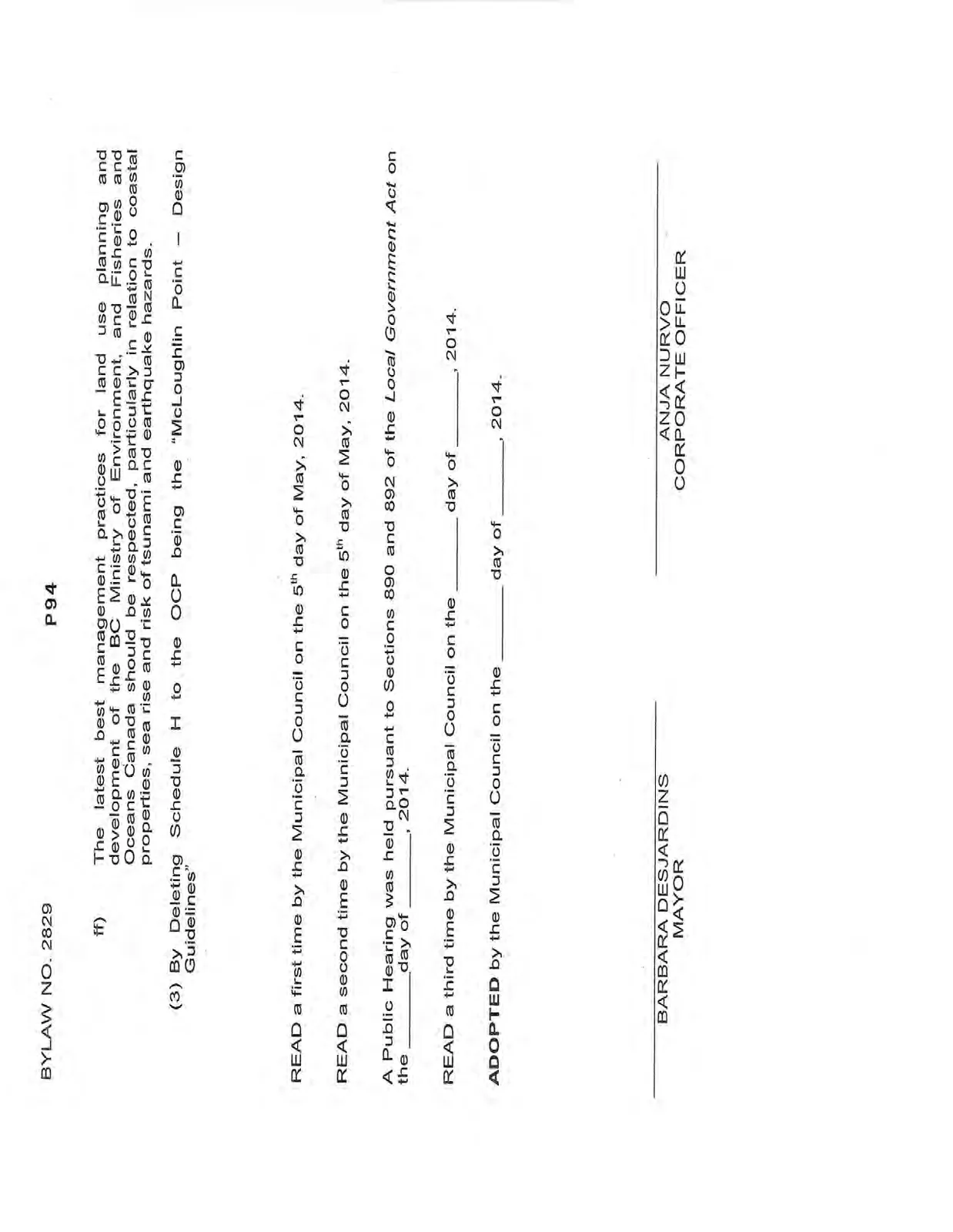
a) Consider the establishment of a 15.0 m buffer from the High Water Mark. b) Consider the establishment of a 10.0 m heavily landscaped buffer within the 15.0 m buffer to hide the building(s) on the site. c) Consider stepping buildings back on the site with the lowest buildings located closest to the shore. d) Consider the establishment of a historical interpretation program. e) Consider the establishment of public access to the 15.0 m buffer area via a public dock. f) Buildings should be designed to capture passive solar energy. g) Green roof systems should be considered where feasible. h) Where feasible, design for on-site heat recovery, and plan for future, long-term neighbourhood heat-resource opportunities. i) Use methods to clean and reduce storm water runoff, incorporate rain gardens, and consider practical ways to re-use water. j) Consider the incorporation of water features as public art within the design of the building(s). k) The design must demonstrate how the buildings and structures will fit into the site, responding to the shoreline in the forefront, and the evergreen tree line and rocky knoll backdrop. l) Design aesthetics should be optimized with the use of appropriate, high quality materials. m) Exterior building materials, including exterior details must be selected to withstand intense weather and sea conditions, and must be of a high standard to ensure low maintenance. n) Windows should have high performance glazing and be capable of providing natural ventilation where appropriate. o) Roof areas must consider views from above. p) Use of hardy native plant species is encouraged. q) Outdoor storage and parking areas should be screened through the use of berms, fences, and landscaping. r) To the greatest extent possible, hardening of the shoreline should be avoided and vernal pools should be protected from development impacts. s) Where ever possible, the tsunami protection wall must not be located within the 15.0 m setback. t) Sea walls and tsunami protection walls greater than 3.0 m in height must be stepped. u) Planted stepped walls should be a minimum depth of 1.0 m horizontally to allow for landscape elements to be introduced. Where this is no possible, shallower multiple steps may be used. v) Where absolutely necessary, any natural rocky shoreline that is hardened within 15.0 m of the high water mark should be replaced on a two-to-one basis by reclaiming damaged shoreline within Victoria Harbour to the satisfaction of a qualified professional biologist. w) All hardening within 15.0 m of the high water mark should be designed in such a way as to create artificial habitat for native plant and wildlife species. The design must be approved by a qualified professional biologist. x) All buildings should incorporate bird-friendly building materials and design features. y) All exterior lighting should be reduced as much as possible in order to reduce impacts on plants and wildlife. z) The building and site design should meet international dark skies standards. aa) Drainage management systems should be installed during construction in order to prevent sediment-laden water from leaving the site. bb) All development should comply with provincial guidelines related to development on coastal areas as per the BC Ministry of the Environment Climate Change Adaption Guidelines for Sea Dikes and Coastal Flood Hazard Land Use Guidelines for Management of Coastal Flood Hazard Land Use dated 27 January 2011. cc) No electrical or natural gas systems should be located below the highest projected elevation of a tsunami wave. dd) All buildings and structures should be designed to dissipate, attenuate, and deflect the energy of a tsunami wave in such a manner as to reduce damage to the subject property and adjacent properties. ee) All exterior lighting should be energy efficient. ff) The latest best management practices for land use planning and development of the BC Ministry of Environment, and Fisheries and Oceans Canada should be respected, particularly in relation to coastal properties, sea rise and risk of tsunami and earthquake hazards.
(3) By Deleting Schedule H to the OCP being the “McLoughlin Point – Design Guidelines”
READ a first time by the Municipal Council on the 5^th day of May, 2014.
READ a second time by the Municipal Council on the 5^th day of May, 2014.
A Public Hearing was held pursuant to Sections 890 and 892 of the Local Government Act on the ______ day of ______, 2014.
READ a third time by the Municipal Council on the ______ day of ______, 2014.
ADOPTED by the Municipal Council on the ______ day of ______, 2014.
BARBARA DESJARDINS
MAYOR
ANJA NURVO
CORPORATE OFFICER
Document Images
(5)