Appendix
Appendix: Subject Property Map & Orthophoto - 94 Talcott Rd
September 2, 2014Pages 165–1662 sections
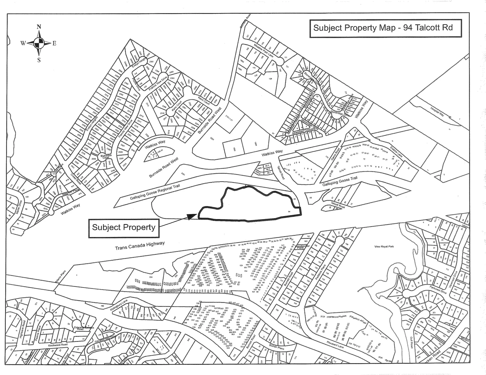
Visual mapping of the Youth Custody Centre property location and surrounding geography.
Site is north of the Trans-Canada Highway and adjacent to Town-owned parkland.The parcel is approximately 25,500m² (6.3 acres) in size.
Subject Property Map - 94 Talcott Rd
Page 165–166
94 Talcott Rd
Subject Property Orthophoto
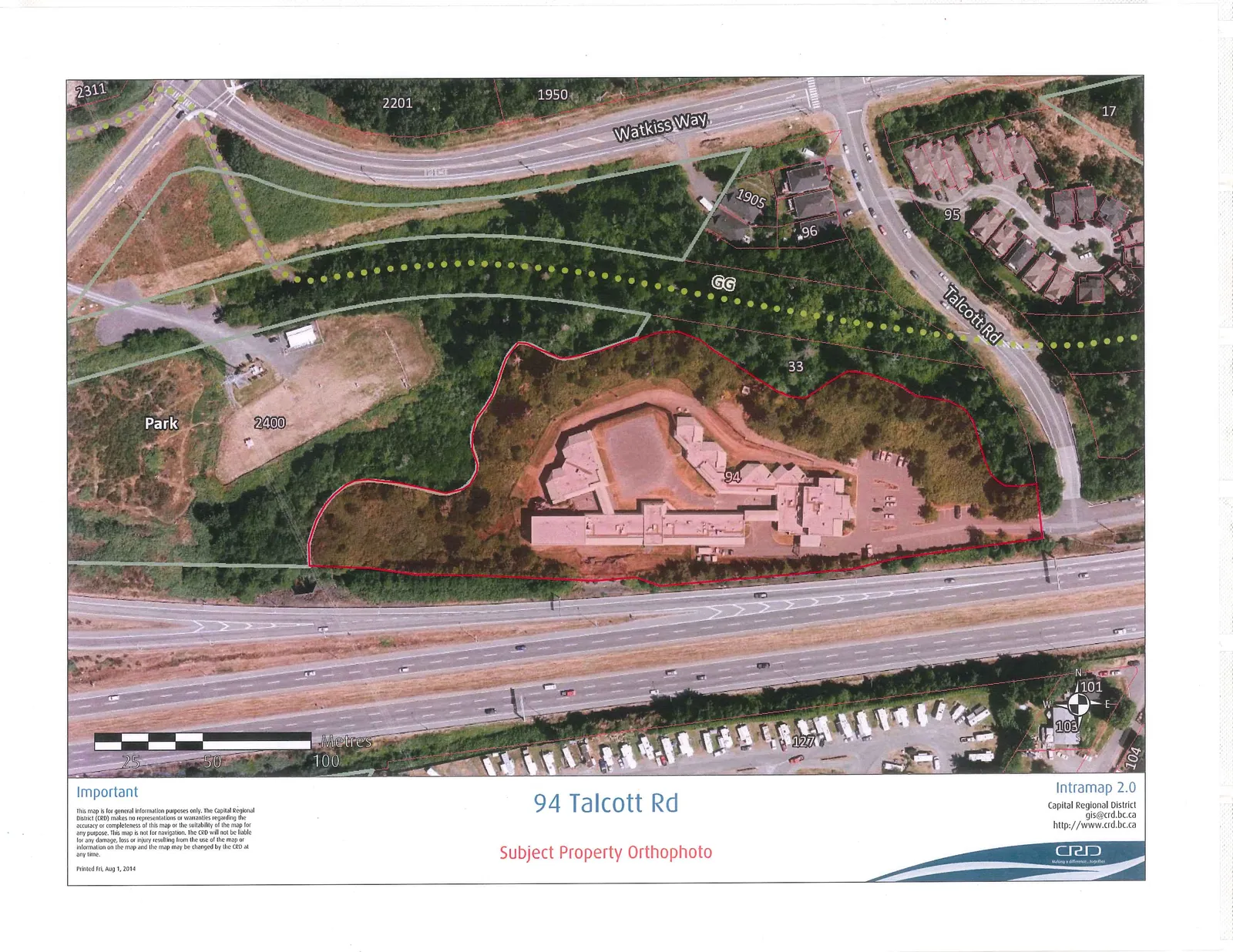
Important
This map is for general information purposes only. The Capital Regional District (CRD) makes no representations or warranties regarding the accuracy or completeness of this map or the suitability of the map for any purpose. This map is not for navigation. The CRD will not be liable for any damage, loss or injury resulting from the use of the map or information on the map and the map may be changed by the CRD at any time.
Printed Fri, Aug 1, 2014
Intramap 2.0 Capital Regional District gis@crd.bc.ca http://www.crd.bc.ca
Page 165–166
Extracted from: 2014 09 02 Council Agenda