This site is in beta — data may be incomplete and features are still being added.
Council Meeting/Documents/Town of View Royal DRAFT Sample Parks Sign Strategy for View Royal Park
Appendix

Town of View Royal DRAFT Sample Parks Sign Strategy for View Royal Park

March 15, 2022Pages 24–366 sections

Attachment 2 providing visual mockups and location maps for proposed sign types at View Royal Park, including directory and interpretive signs.

1. CALL TO ORDER
Draft staff strategy from 2021Includes mockups for directory signs and interpretive signs for community gardens

Town of View Royal DRAFT Sample Parks Sign Strategy

Page 24–36

View Royal Park

landscape illustration of a path through a field towards a forest

Draft Sample Park Sign Strategy for View Royal Park

This document is intended to illustrate how signage in parks could be implemented in View Royal. The strategy borrows heavily from the City of Victoria's parks wayfinding system. Please note that this is not intended to be a comprehensive illustration of View Royal Park's facilities but rather intended to illustrate some of the sign applications in the park's context.

The signage is intended to be within parks and identify park features. Off-network features like location of streets, pathways, school facilities, etc. have not been contemplated at this time. Such things could be implemented as part of a larger Town wayfinding strategy.

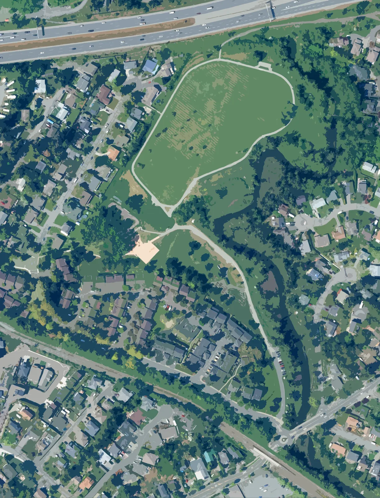
landscape illustration of a calm waterway with trees reflected in the water
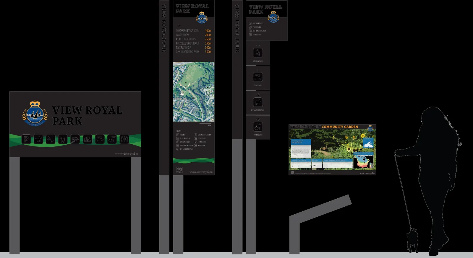
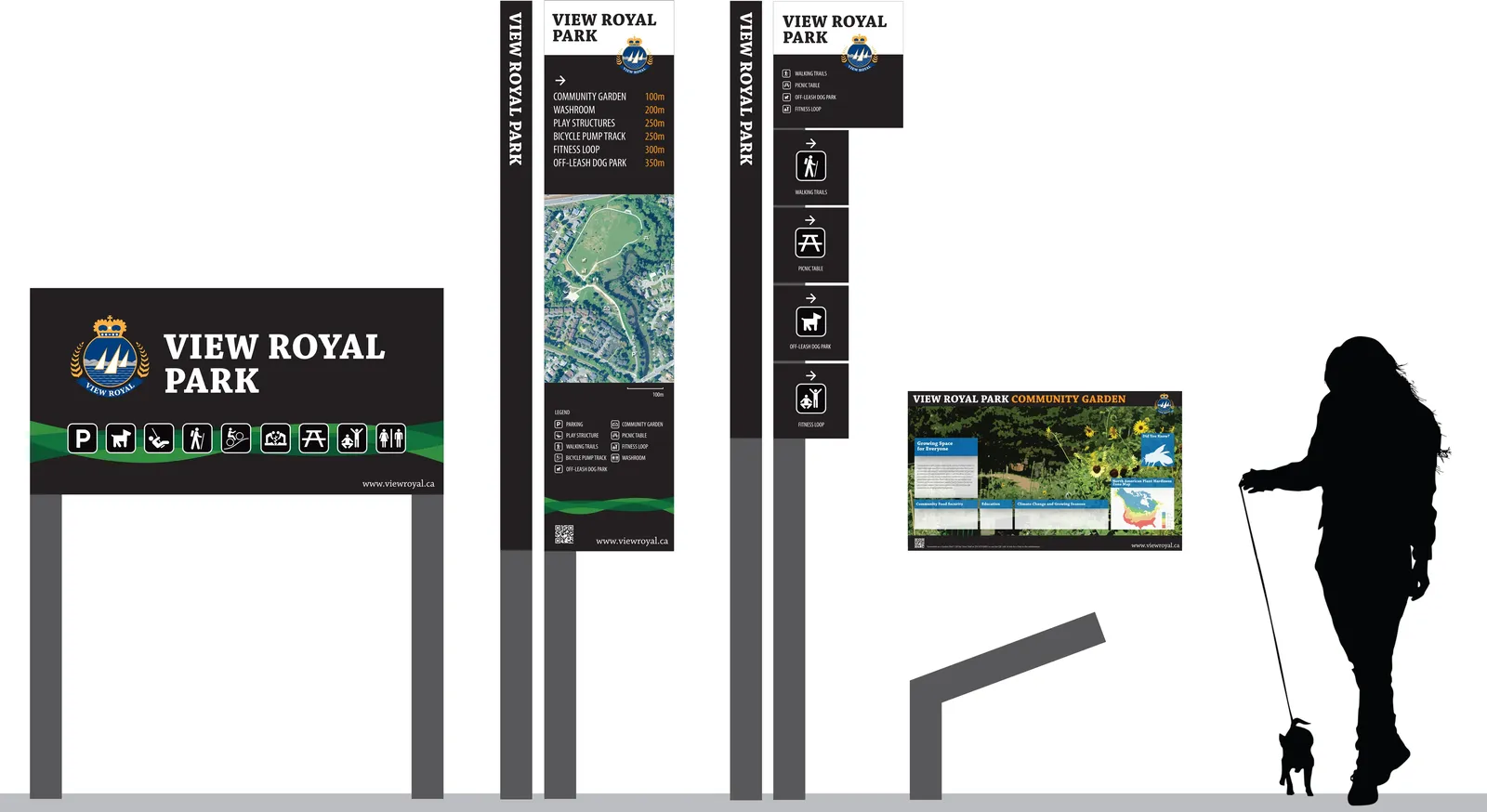
overview illustration of four park sign types—Park Identification Sign, Directory Sign, Directional Post, and Interpretive Sign—shown alongside a silhouette of a person walking a dog for scale
Page 24–36

Park Identification Sign

Park Identification Signs are designed to be placed at the main access to the park and be visible from adjacent roadways and bike lanes and convey the name of the park and its major facilities.

Symbols need not show all park facilities if it becomes too visually cluttered on the sign. Ideally not more than 6 symbols should be on the sign as it becomes difficult to read at traffic speeds.

aerial map of View Royal Park with a yellow dot marking the proposed location for a Park Identification Sign at the main entrance
photo mockup of a Park Identification Sign installed at a park entrance
Page 24–36

Directory Sign

Directory Signs are designed to be the primary pedestrian information sign for the park, including distance and direction to major park facilities, a map showing the locations of all facilities, a scale, a legend, and a QR code to link to a mobile phone version of the park directory.

The sign is positioned at the main pedestrian entrance to the park.

aerial map of View Royal Park with a yellow dot marking the proposed location for a Directory Sign
Page 24–36

Directional Post

Directional Posts are designed to be secondary pedestrian information signs positioned at secondary park entrances and at major decision-making points within the park.

The sign will convey the name of the park and directions to those facilities.

aerial map of View Royal Park with four yellow dots marking proposed locations for Directional Posts
photo mockup of a Directional Post installed in a park setting near a trash receptacle
photo mockup of a Directional Post installed on a sidewalk at a street corner
Page 24–36

Interpretive Sign

Interpretive Signs are intended to be educational. They provide detailed information about park features, which may be natural history or processes, cultural histories and features, wildlife information, park facilities, or other pieces of interesting or important information.

These signs can be various sizes depending on the feature in question.

aerial map of View Royal Park with a yellow dot marking the proposed location for an Interpretive Sign at the community garden
Page 24–36

Document Images

(2)
Document image
Document image
Extracted from: 2022 03 15 Council Agenda - Agenda - Pdf