This site is in beta — data may be incomplete and features are still being added.
Council Meeting/Documents/SITE CONTEXT PLAN
Appendix

SITE CONTEXT PLAN

April 5, 2022Page 1291 section

An aerial site context map identifying the location of the proposed development relative to Helmcken Road, Burnside Road West, and Watkiss Way.

1 CALL TO ORDER
Site LocationNearby streets: Watkiss Way, Conard Street, Camden Avenue, Quincy Street

SITE CONTEXT PLAN
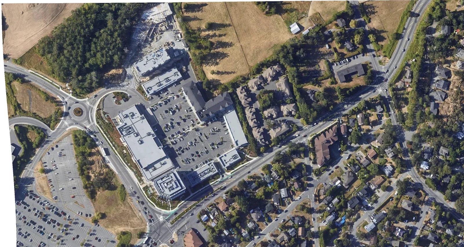
Aerial site context map showing the surrounding neighborhood, including a large commercial complex to the west and residential areas to the south and east.

SITE LOCATION

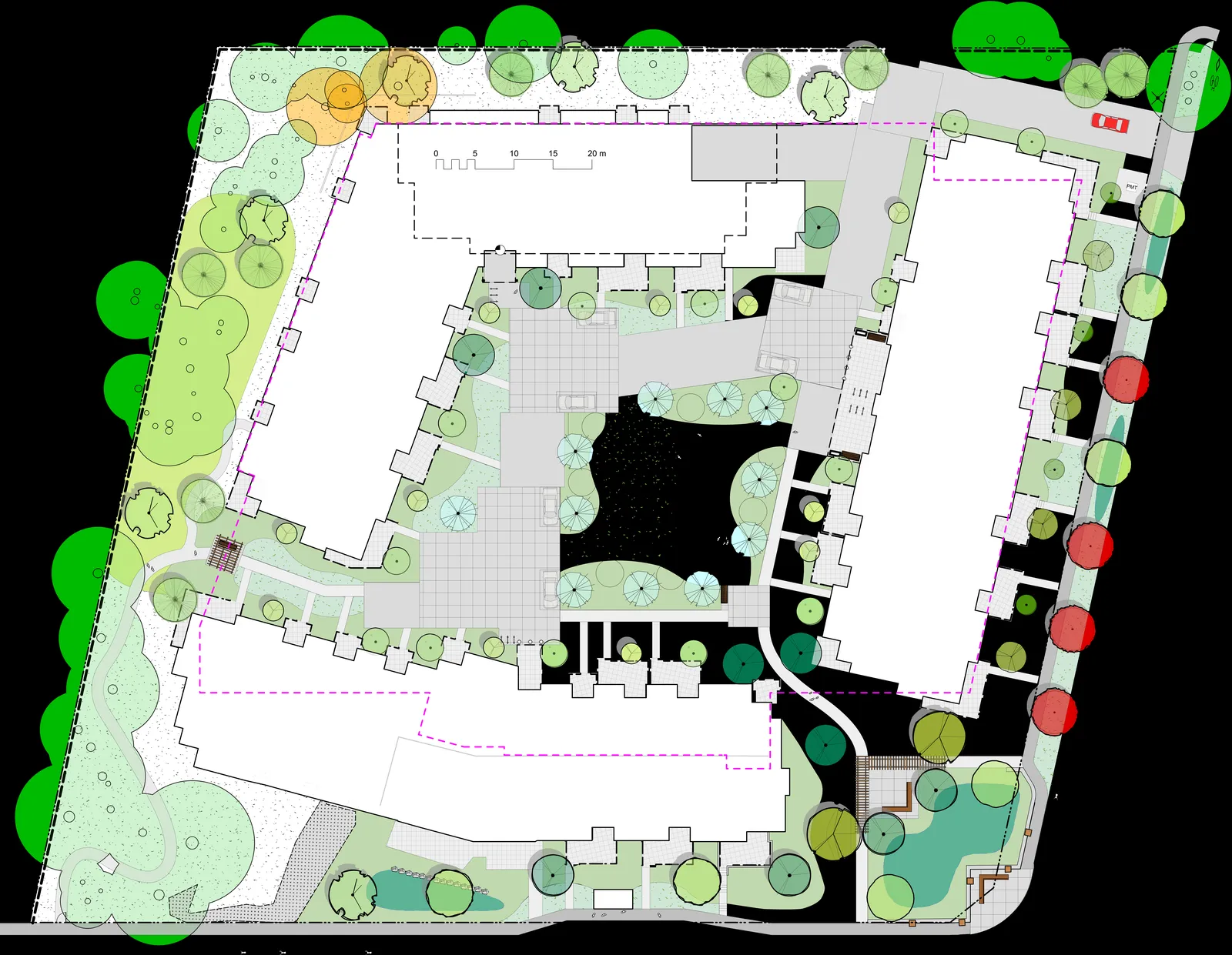
Detailed site and landscape plan showing building footprints, internal courtyards, and perimeter tree plantings.

Surrounding Streets:

  • WATKISS WAY
  • HELMCKEN ROAD
  • BURNSIDE ROAD W
  • CONARD STREET
  • CAMDEN AVENUE
  • QUINCY STREET
Page 129
Extracted from: 2022 04 05 Council Agenda - Agenda - Pdf