Addresses Glentana Road landscaping and residential screeningIncludes plans for a proposed pedestrian overpass and truck sewerIncludes topographic plans for the Glentana Housing developmentArchitect: Donald Macpherson; Engineers: Ker, Priestman & Associates Ltd.
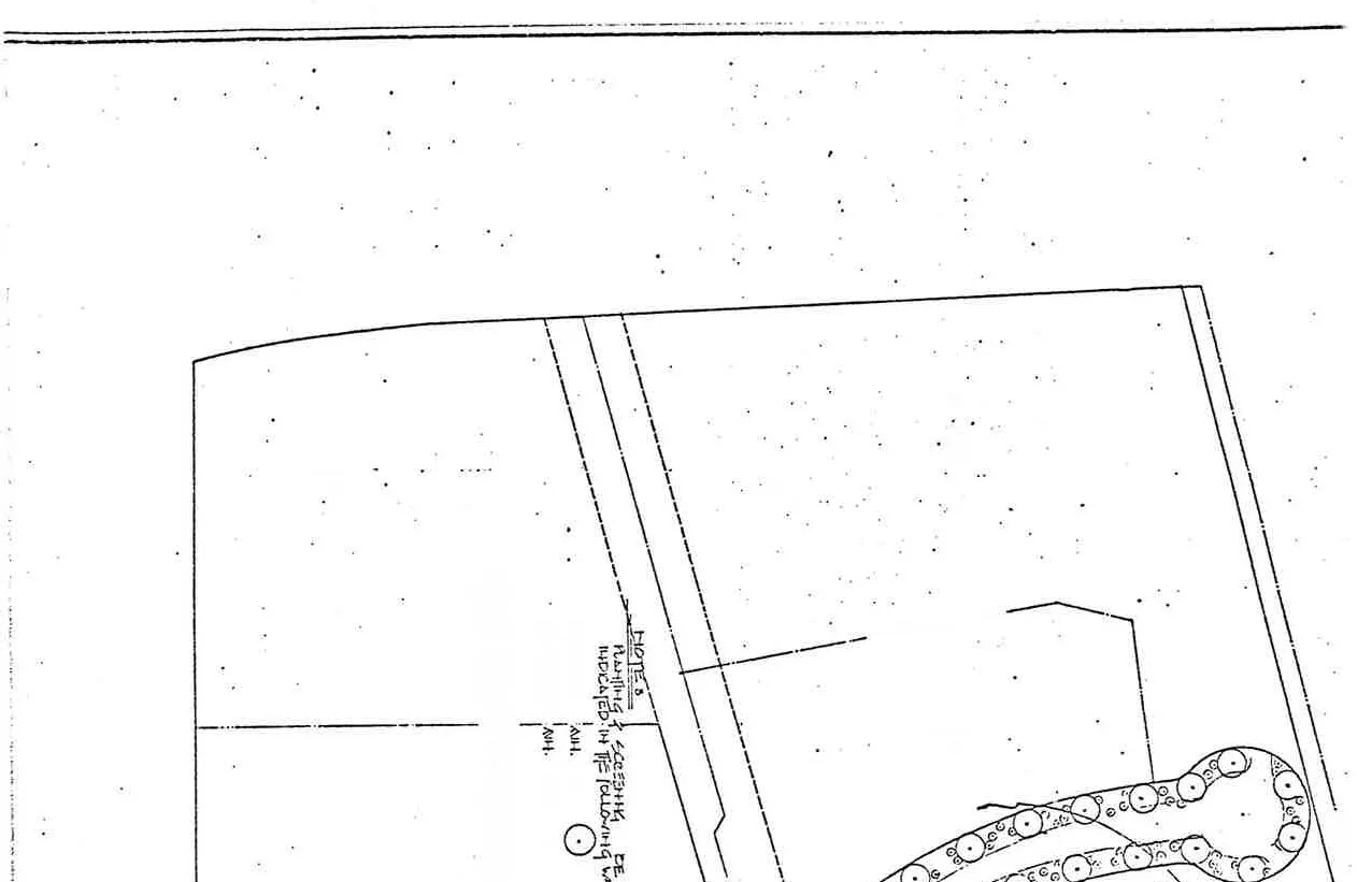
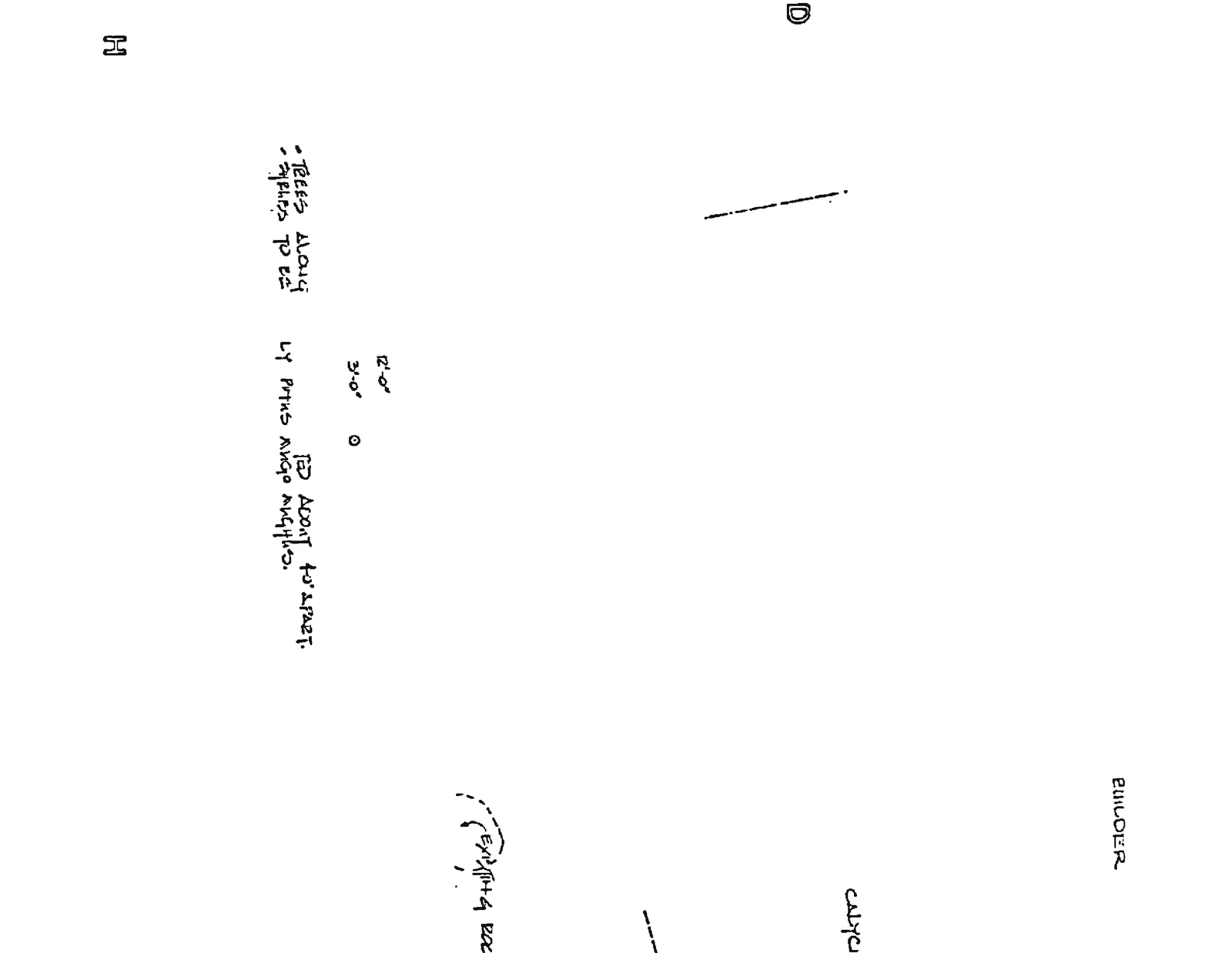
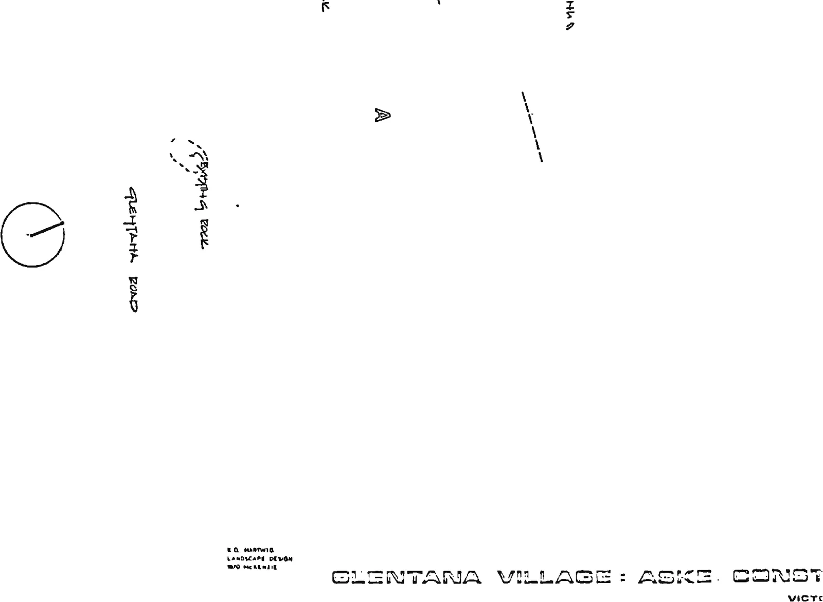
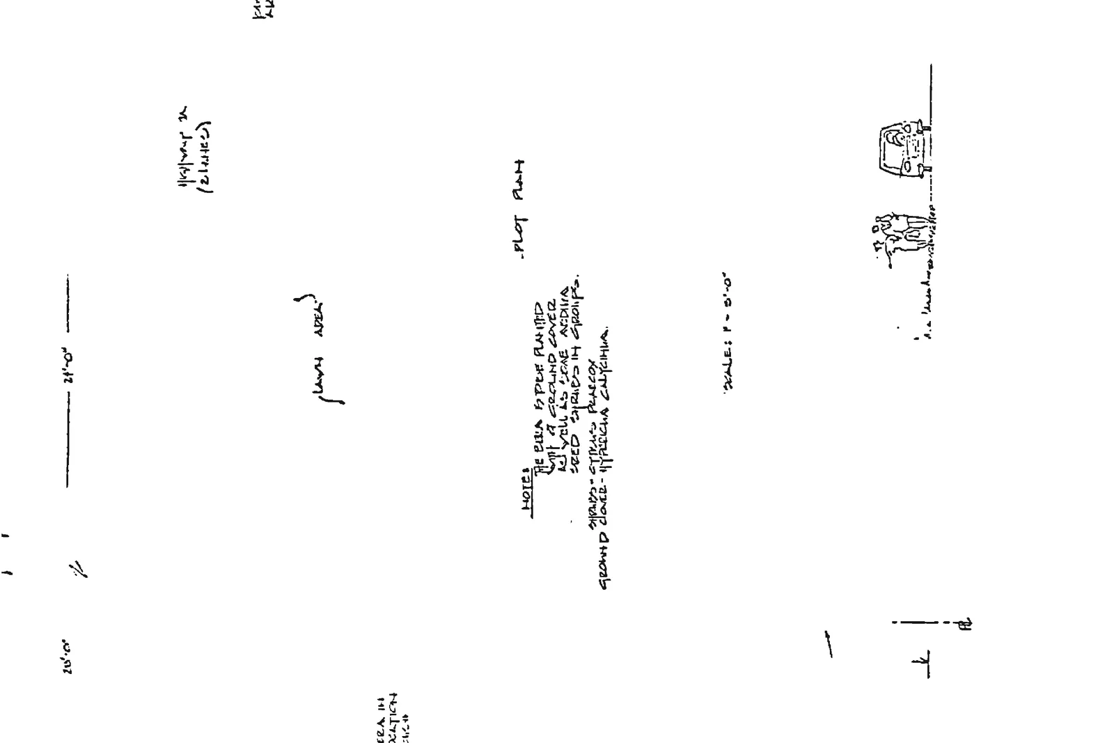
Glentana Road Landscaping
Site plan overview showing landscaping layout for the Glentana Village development
Project Information
Drawing No: 7
Architect: Donald MacPherson Architect, 582 Goldstream Ave, Victoria, B.C.
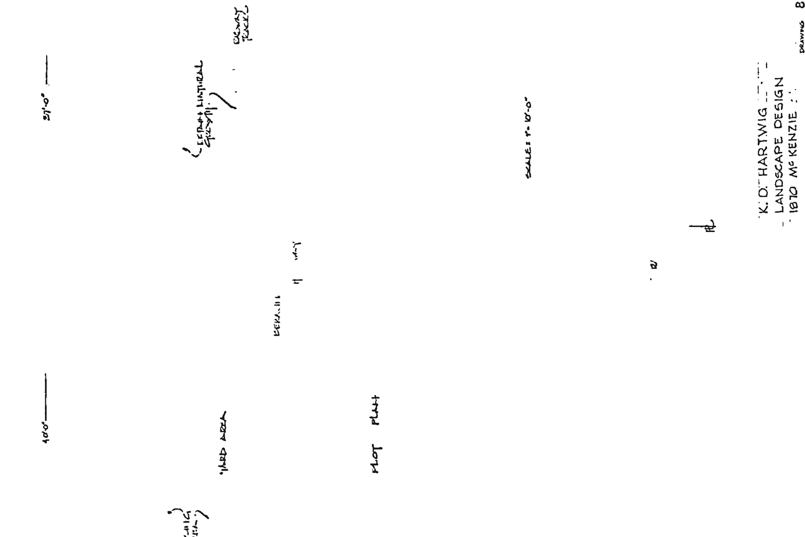
Landscape Design: K.D. Hartwig, 1870 McKenzie
Client: Glentana Village: Aske Construction Ltd.
Landscaping Notes
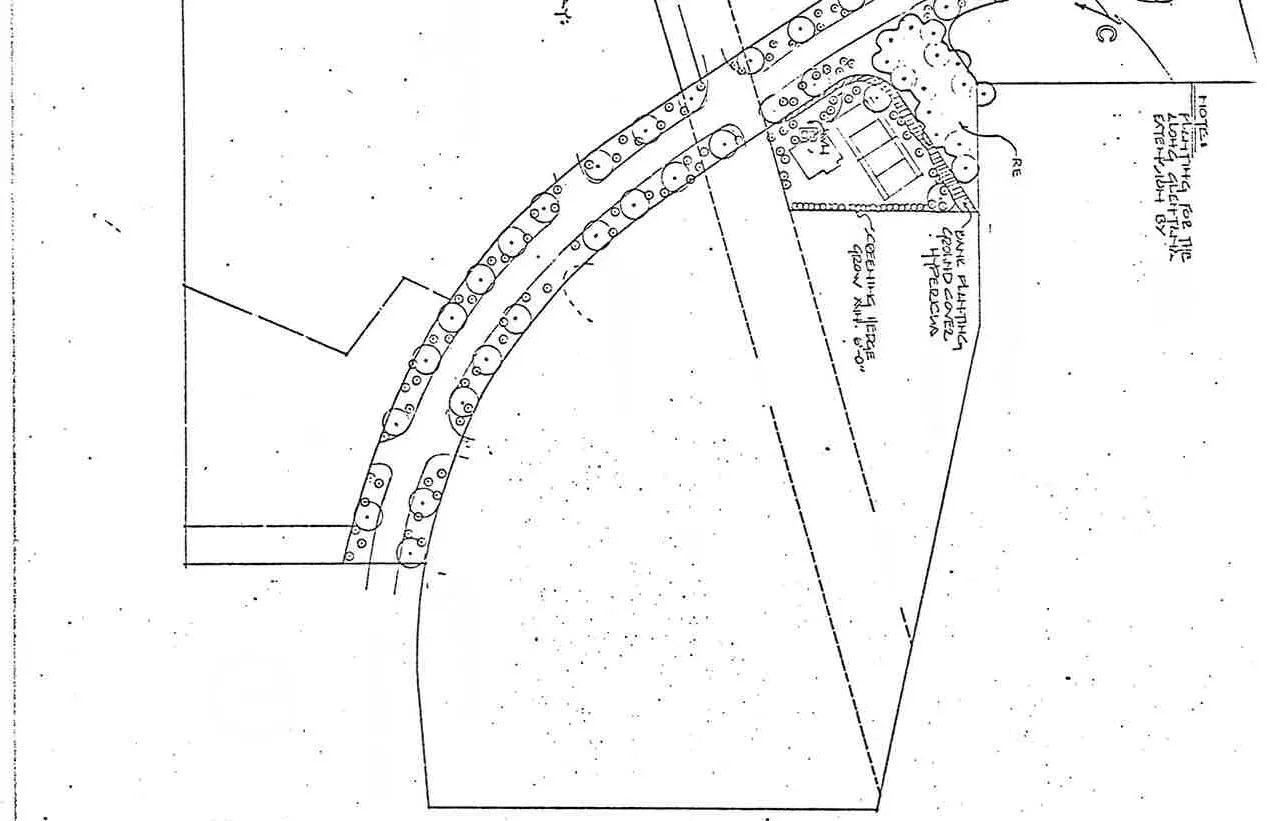
Planting for Type B units to be done by Builder. Detail of Unit C area showing unit layout and landscaping
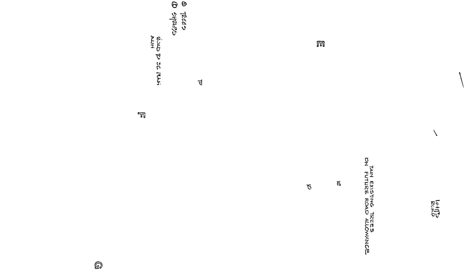
Retain existing trees on future road allowance.
Bank planting ground cover: Hypericum calycinum.
Screening hedge: Pyracantha, 6'-0".
Screening Type B planting as indicated in the following way:
A: Trees, min. 12'-0"
B: Shrubs, min. 3'-0"
Trees along road to be planted about 40' apart. Species to be mainly Pinus nigra austriaca.
Drawing title block for Glentana Road LandscapingText labels for map areas E, D, F, GNotes detailing screening specifications for Type B plantingNorth arrow and label for Glentana Road
Page 245–252
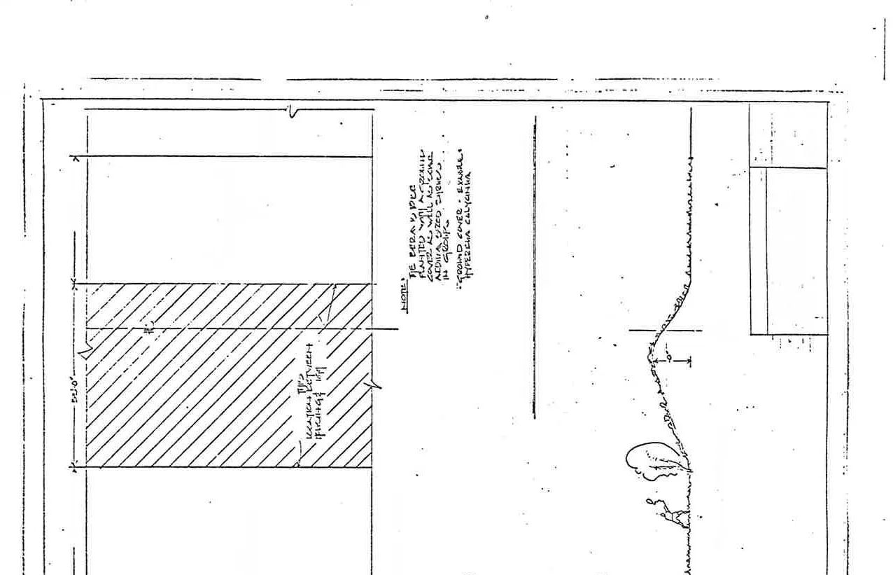
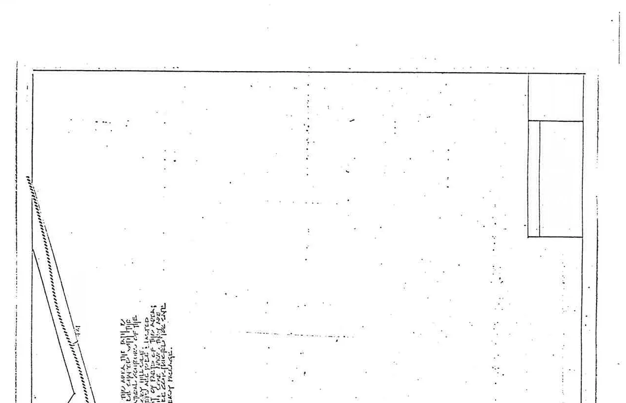
Residential Screening
Overview of residential screening plans for Area 'D'
Project Information
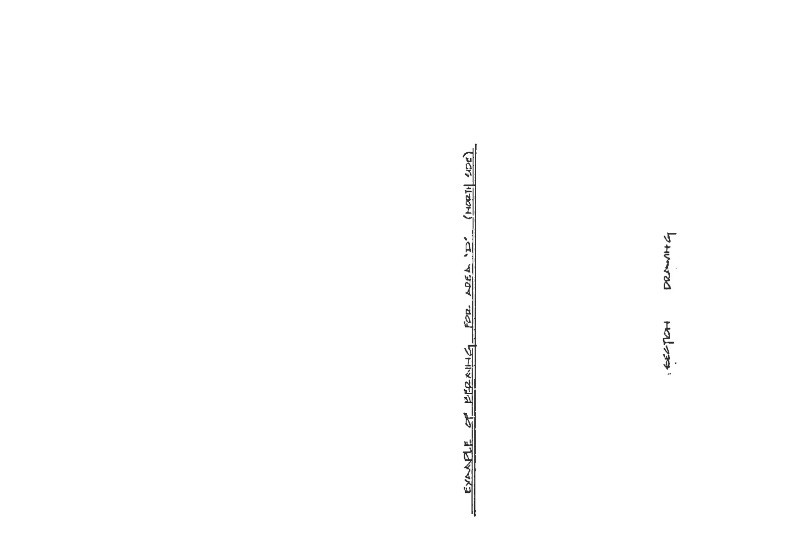
Drawing No: 8
Landscape Design: K.D. Hartwig, 1870 McKenzie
Schedule: C
Example of Berming for Area 'D' (North Side)
Plot Plan:Plot plan for the north side of Area D
Notes:
The berm is to be planted with a ground cover as well as some accent seed shrubs in groups.
Shrubs: Cytisus praecox.
Ground Cover: Hypericum calycinum.
Sketch Drawing:Label for Area D North Side sketch, Section drawing showing the proposed berm profile for Area D North Side
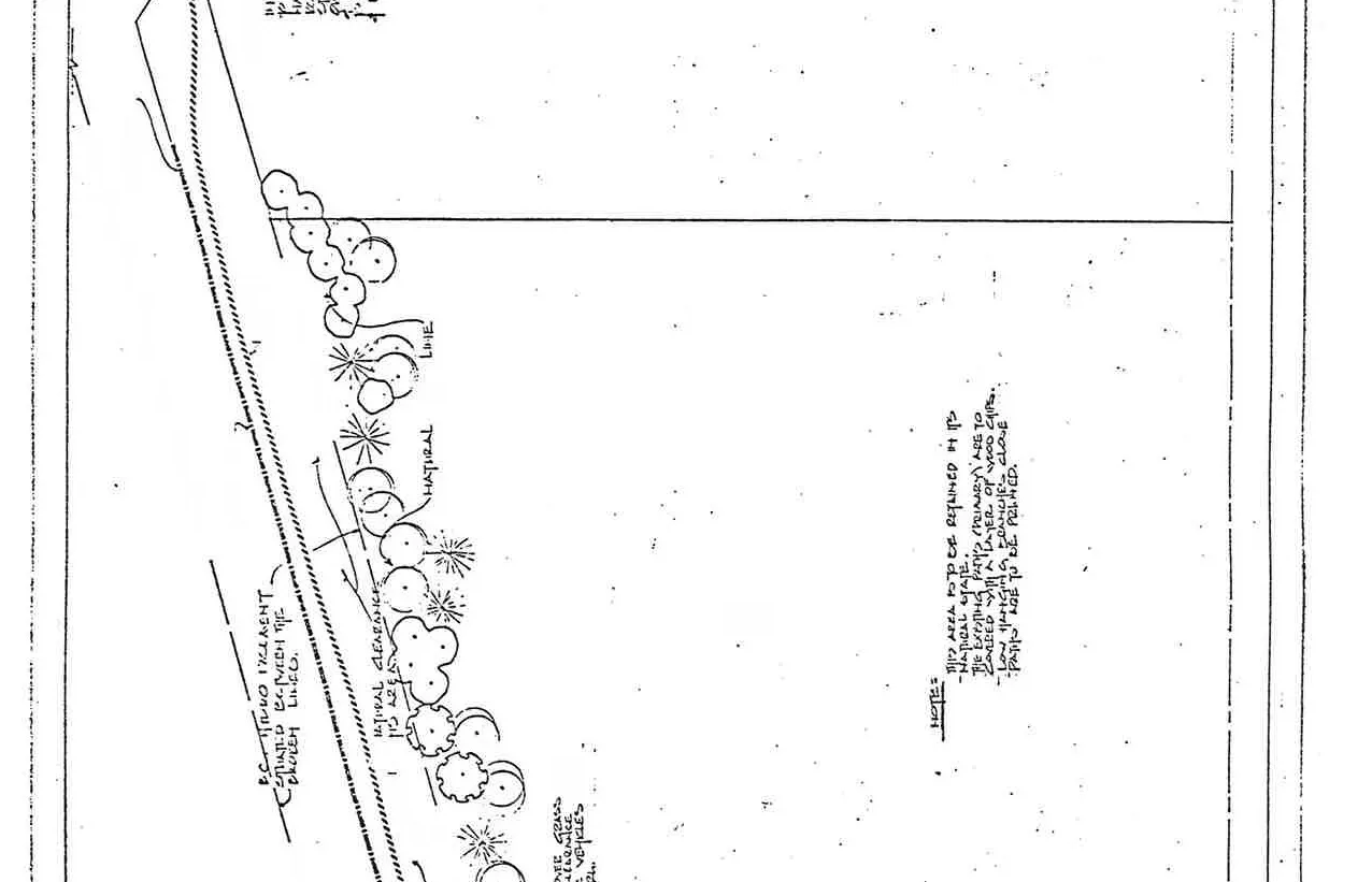
Example of Berming for Area 'D' (West Side)
Plot Plan:Plot plan showing dimensions and yard area for the west side of Area D
Notes:
The berm is to be planted with a ground cover as well as some accent seed shrubs in groups.
Shrubs: Cytisus praecox.
Ground Cover: Hypericum calycinum.
Sketch Drawing:Detail sketch of the berm profile for Area D West Side, Section drawing detail with 'Example' text
Title block and general notes for residential screening
Page 245–252
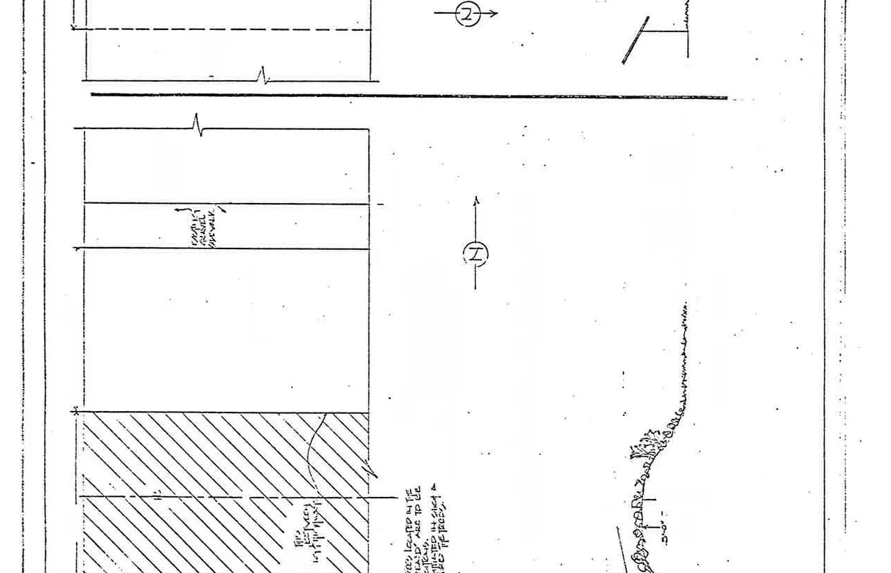
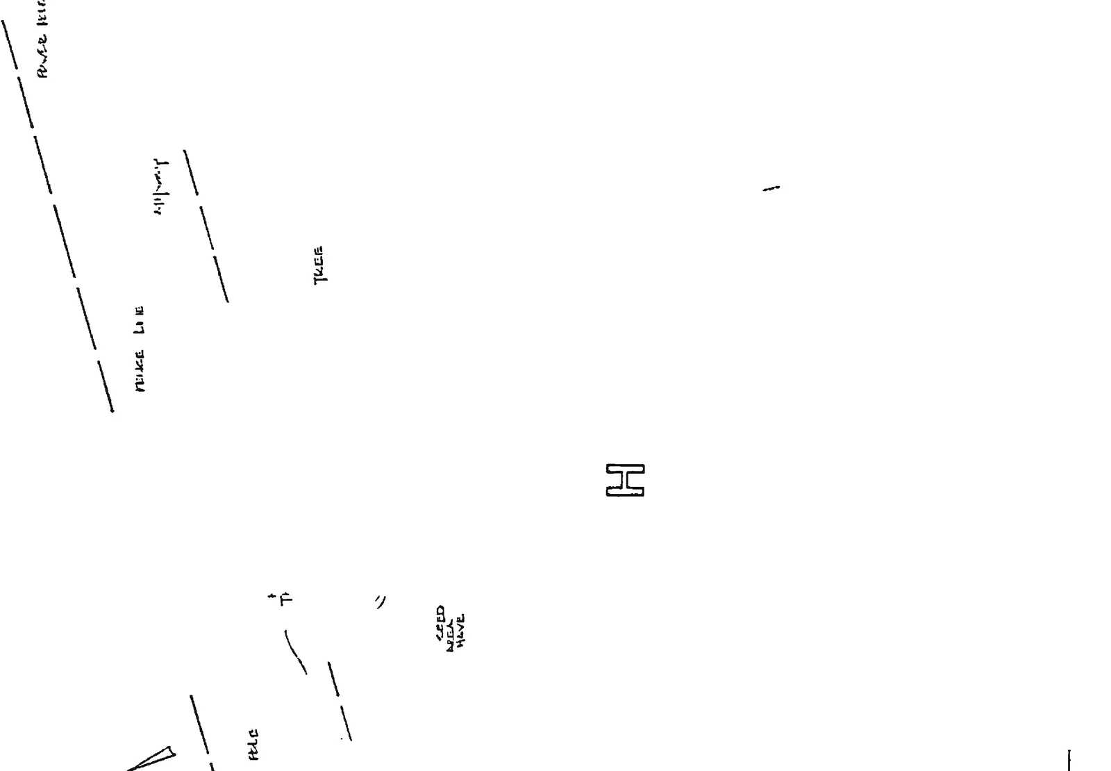
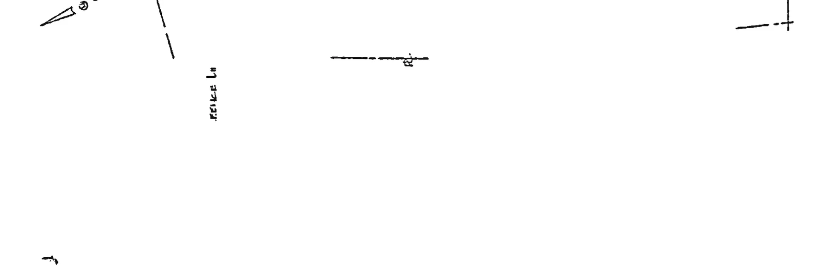
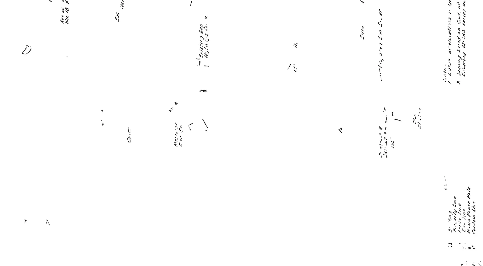
Parkland Screening
Parkland site plan showing the northern fence line and area boundary
Project Information
Drawing No: 9
Landscape Design: K.D. Hartwig, 1870 McKenzie
Schedule: C
Area 'H' Development
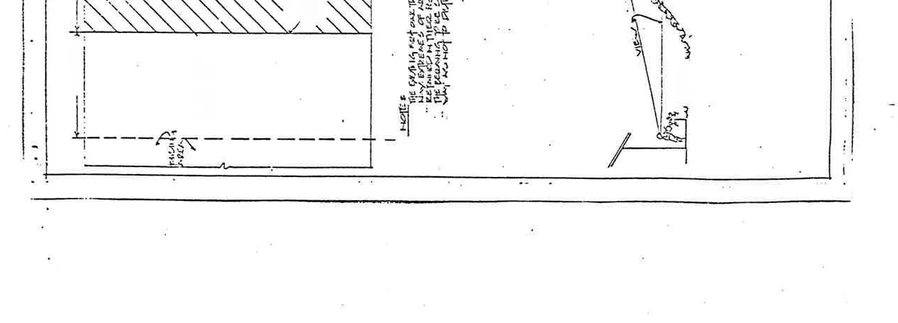
Note 1: In this area, the path is natural, keeping with the natural feel of the area. All trees listed as 'to be removed' are dead trees only. Trees are to be pruned to give a clear view of the entry passage. Parkland screening title block and initial landscaping notes
Note 2:
This area to be retained in its natural state.
The existing paths (primary) are to be covered with a layer of wood chips.
Low hanging branches above paths are to be pruned.
Additional notes regarding natural state and path maintenance
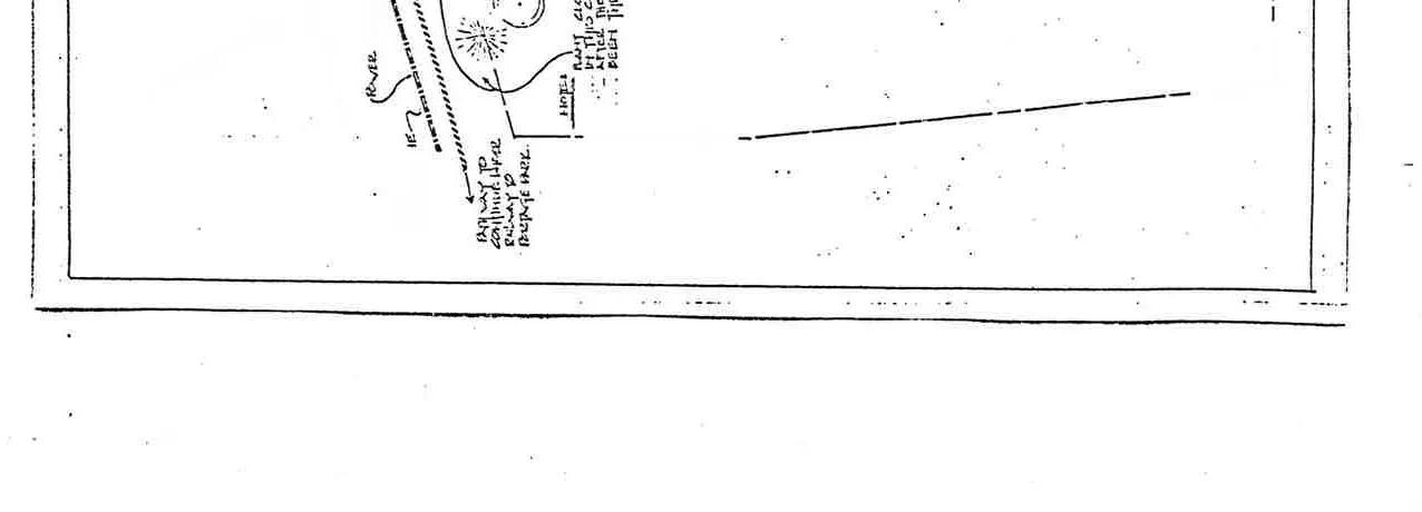
Pathway Detail: Pathway to continue under railway to Portage Park. Map detail showing existing tree line and the proposed pathway
Site Features:Label for Area H, Sketch detail of area H site features
North arrow and fence line labels for the parkland areaTitle block for Drawing 9, Parkland Screening
Page 245–252
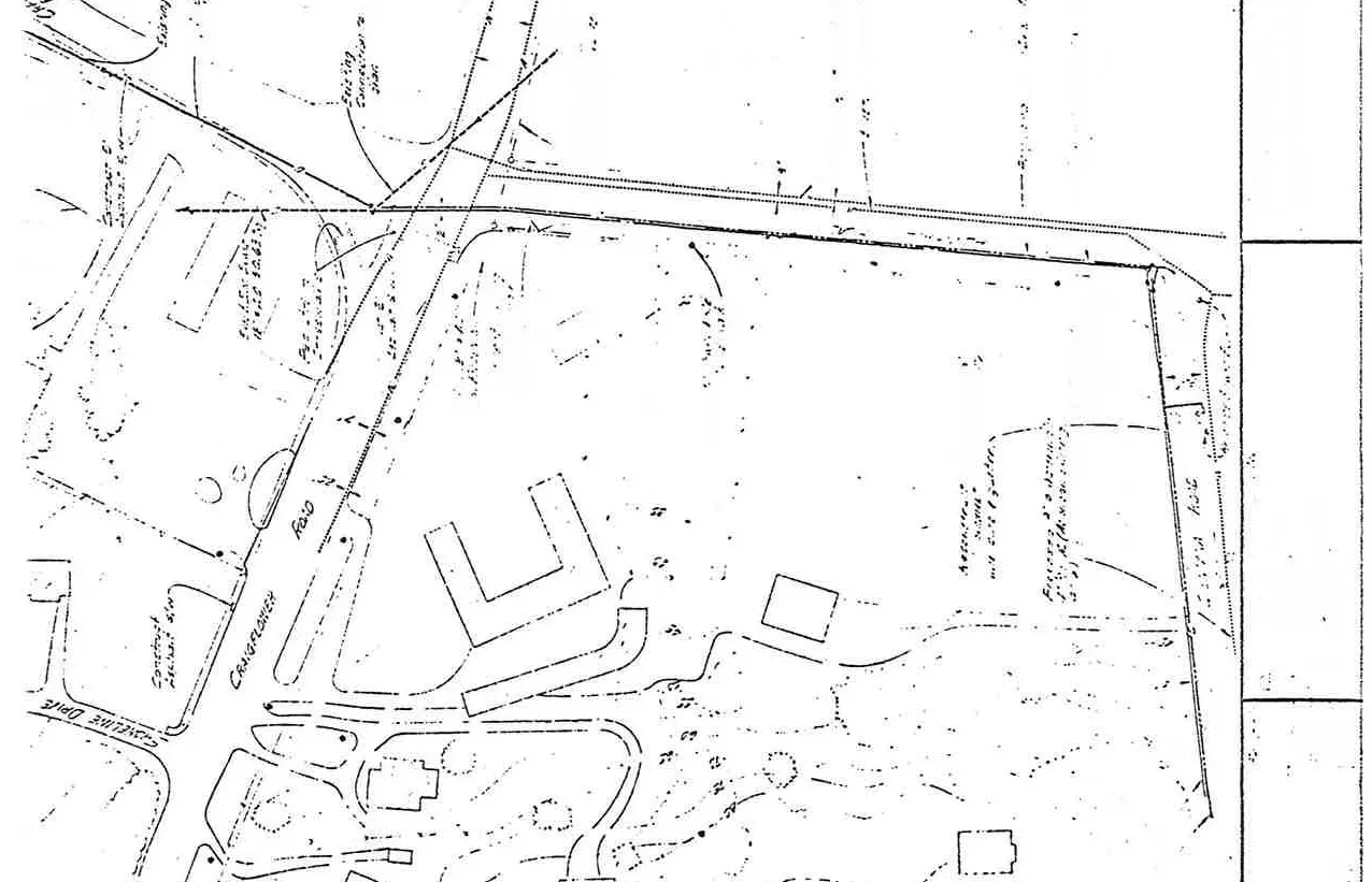
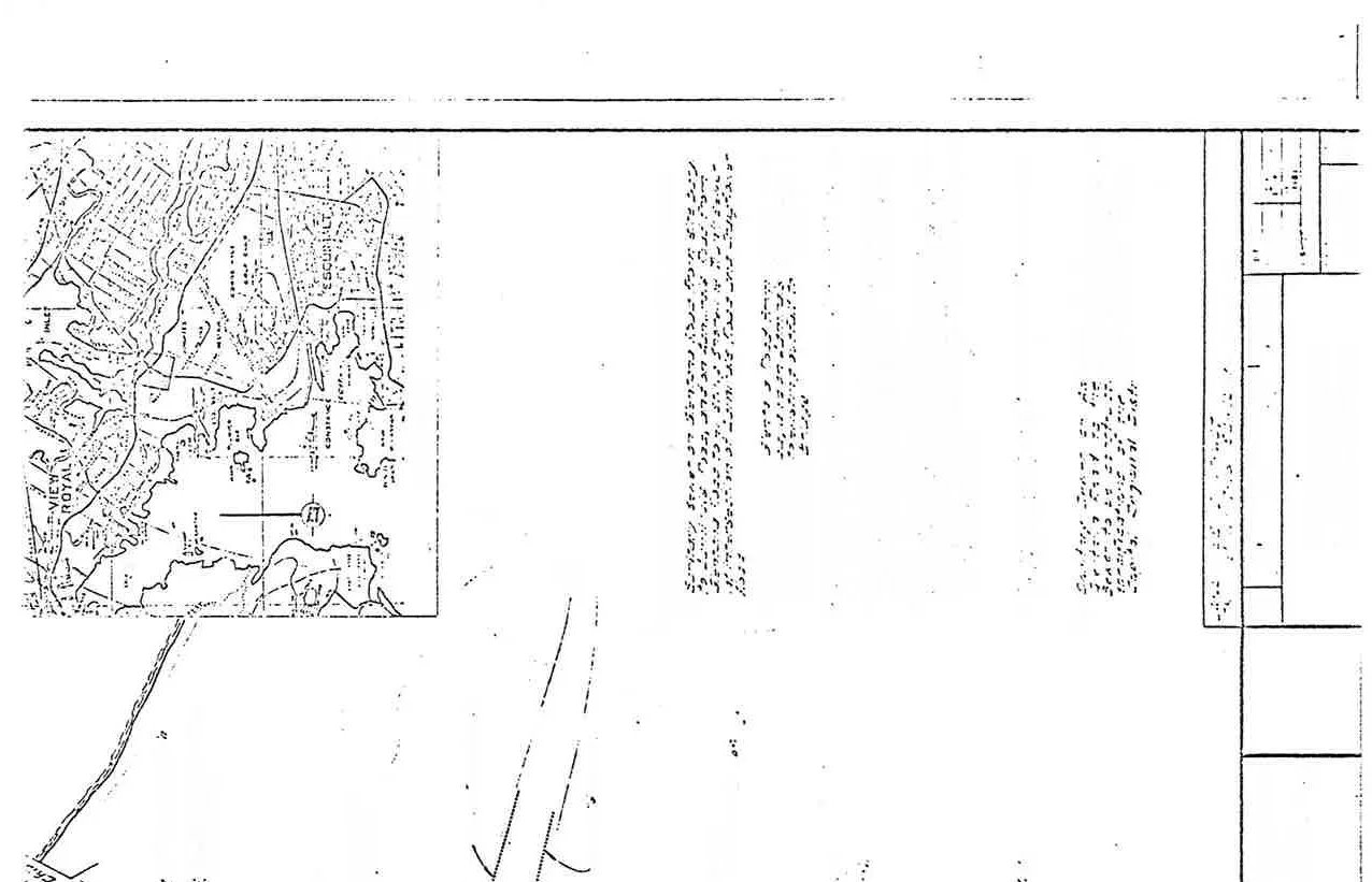
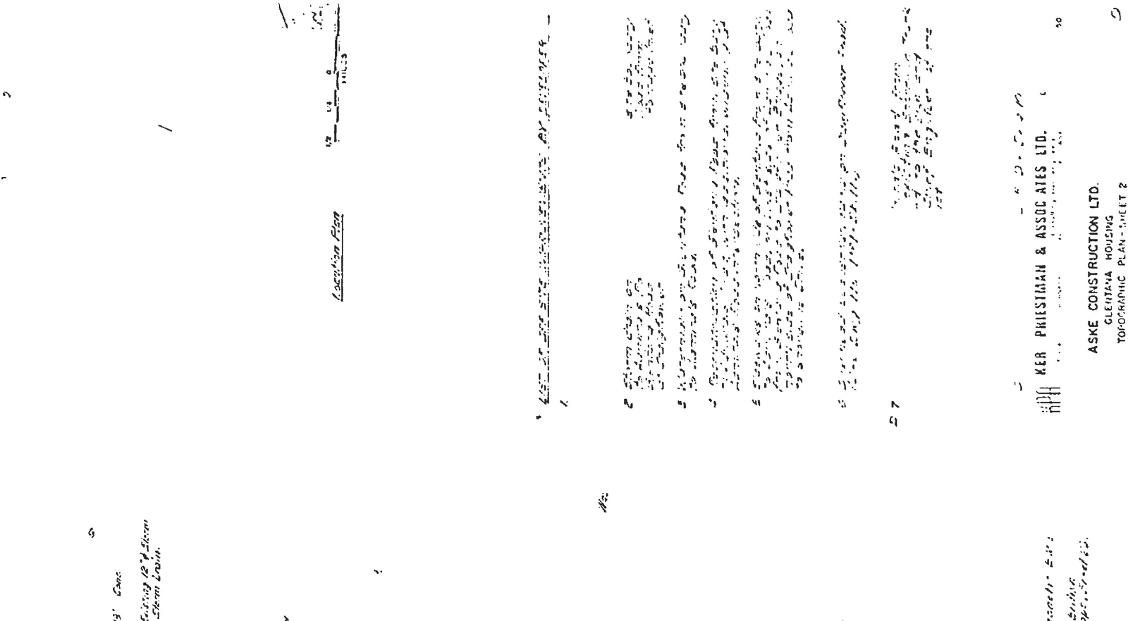
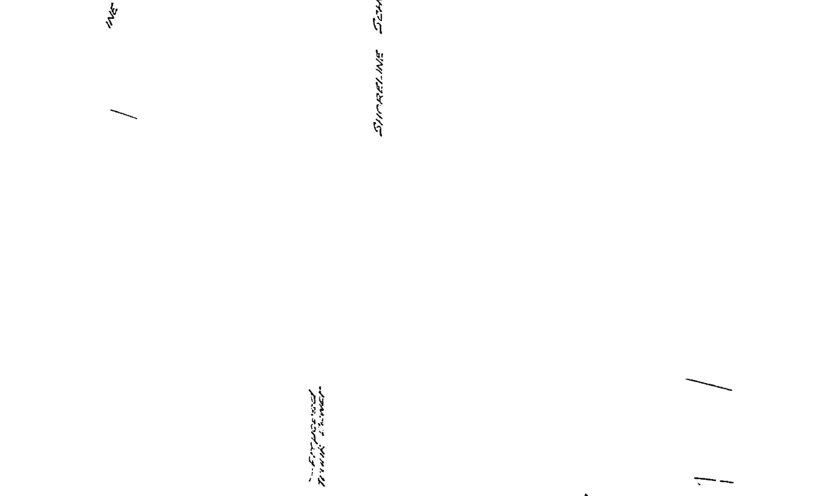
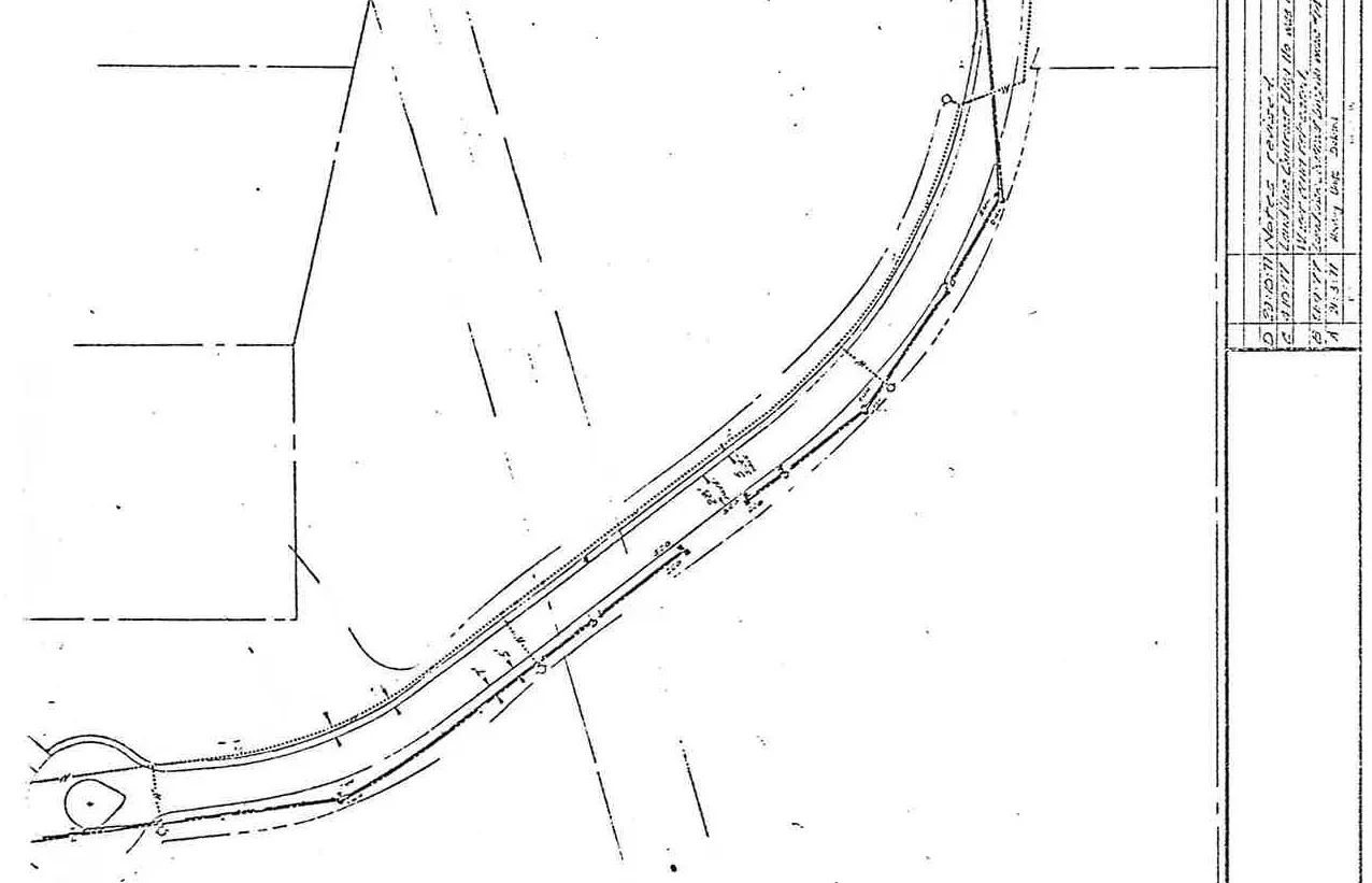
Topographic Plan - Sheet 2
Topographic map detailing existing conditions around Craigflower Road and Shoreline Drive
Excavation of sanitary sewer on Glentana Rd by Developer.
Elevate berm on both sides of Glentana Rd to be seeded by Developer.
Sanitary sewer on Craigflower Road [details specified].
[Proposed] Road from railway crossing up to the [limits] and to the [design] of the District Engineer of the Regional District.
Pedestrian bridge over Craigflower Road.
Location plan inset showing the project site relative to View Royal and EsquimaltNote list section overviewDetail of notes for storm drains and watermainsSite details showing rights-of-way and property linesLabels for Shoreline Drive and Craigflower Road on the topographic mapDetail showing notes 2 through 5Property line and topographic contour detailsTitle block and first section of general notesTopographic details for the area surrounding Craigflower RoadContours and property boundaries near Shoreline DriveBoundary and topographic feature details
Page 245–252
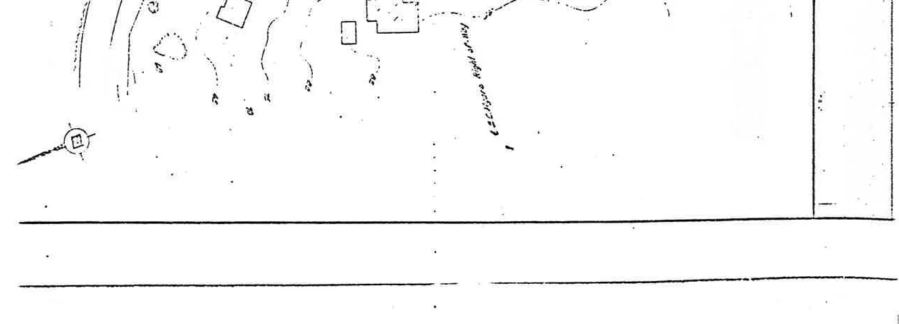
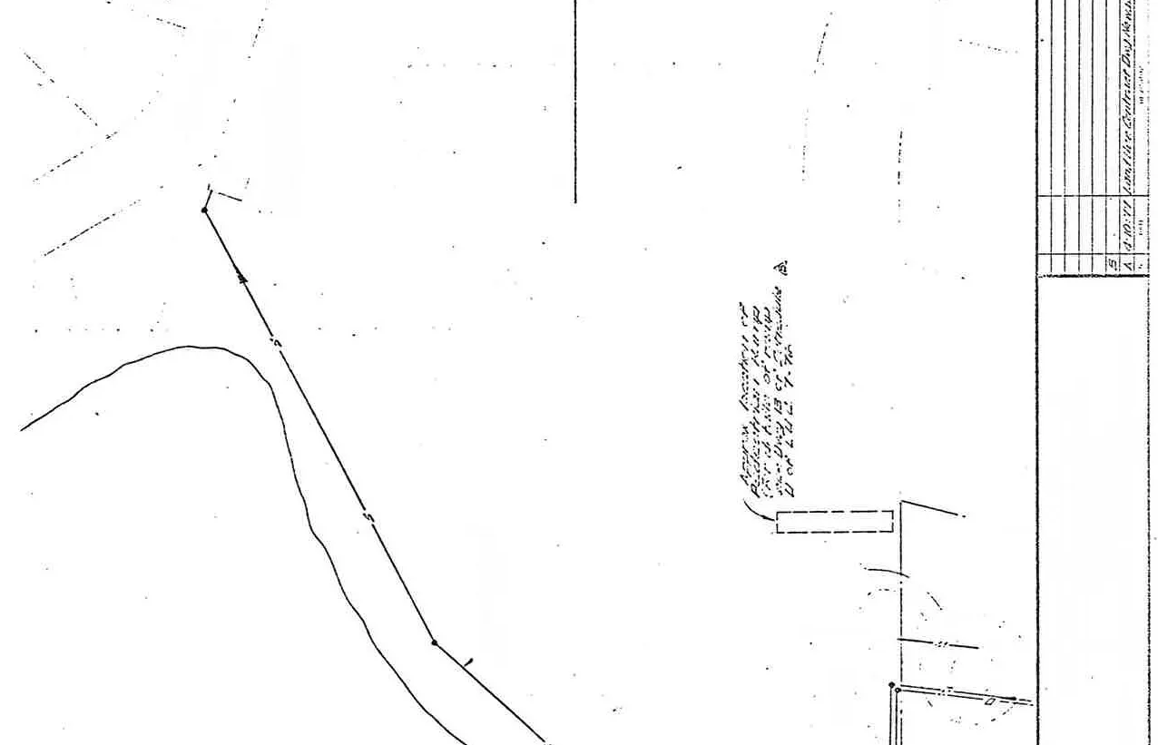
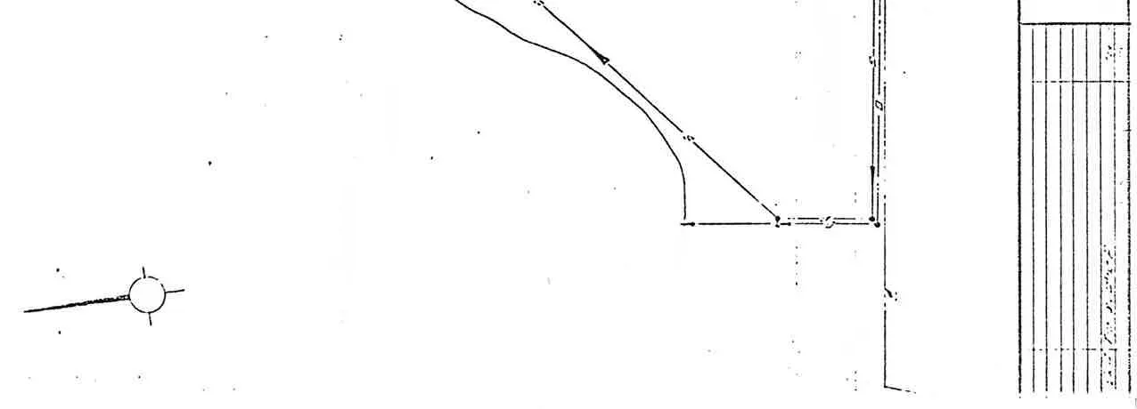
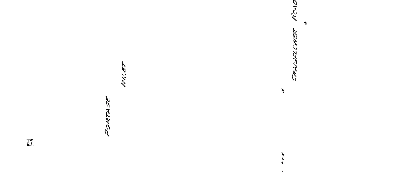
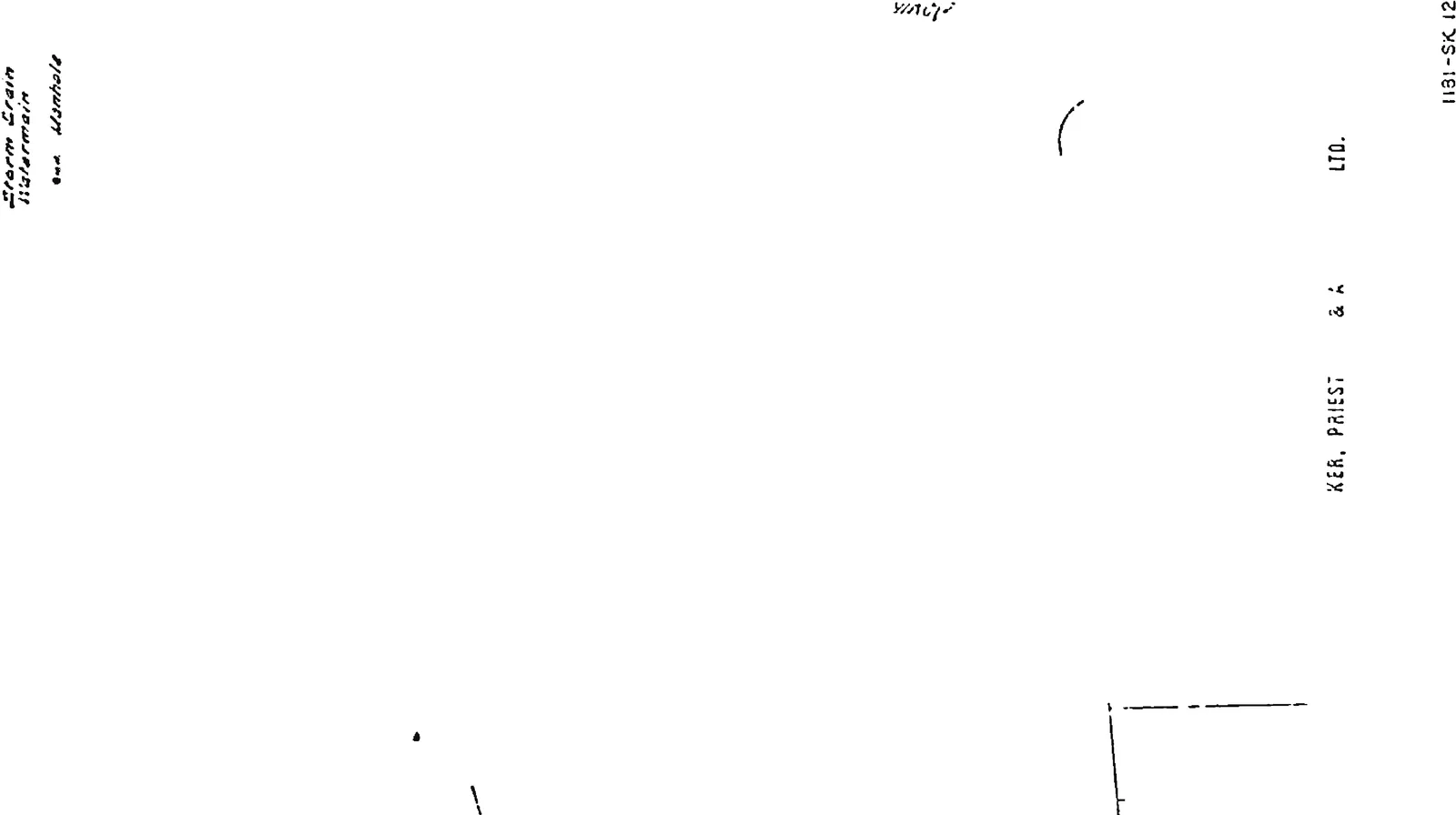
Plan of Proposed Trunk Sewer
Plan showing the proposed trunk sewer line layout near Portage Inlet
Pumping station to be constructed entirely at the cost of the Developer to the design specifications approved by Chief Engineer of the Regional District prior to any work being undertaken.
Pedestrian ramp over Craigflower Road.
Pedestrian underpass beneath E & N Railway.
Highway & Parkway improvements as req'd by Dept. of Highways.
Notes and title block overview for the trunk sewer planTopographic contours and trunk sewer line detailsTitle block detail for drawing 1181-SK 11Detail showing sewer line connection pointsNote section detailing items 2 through 4 and title blockSewer line layout details near Shoreline DriveLegend for on-site services and site boundary informationDrawing number 1181-SK 11 identification labelSewer line layout in the vicinity of Shoreline SchoolMap labels for Portage Inlet and Craigflower RoadDetail of sewer trunk line and project boundary lines
Page 245–252
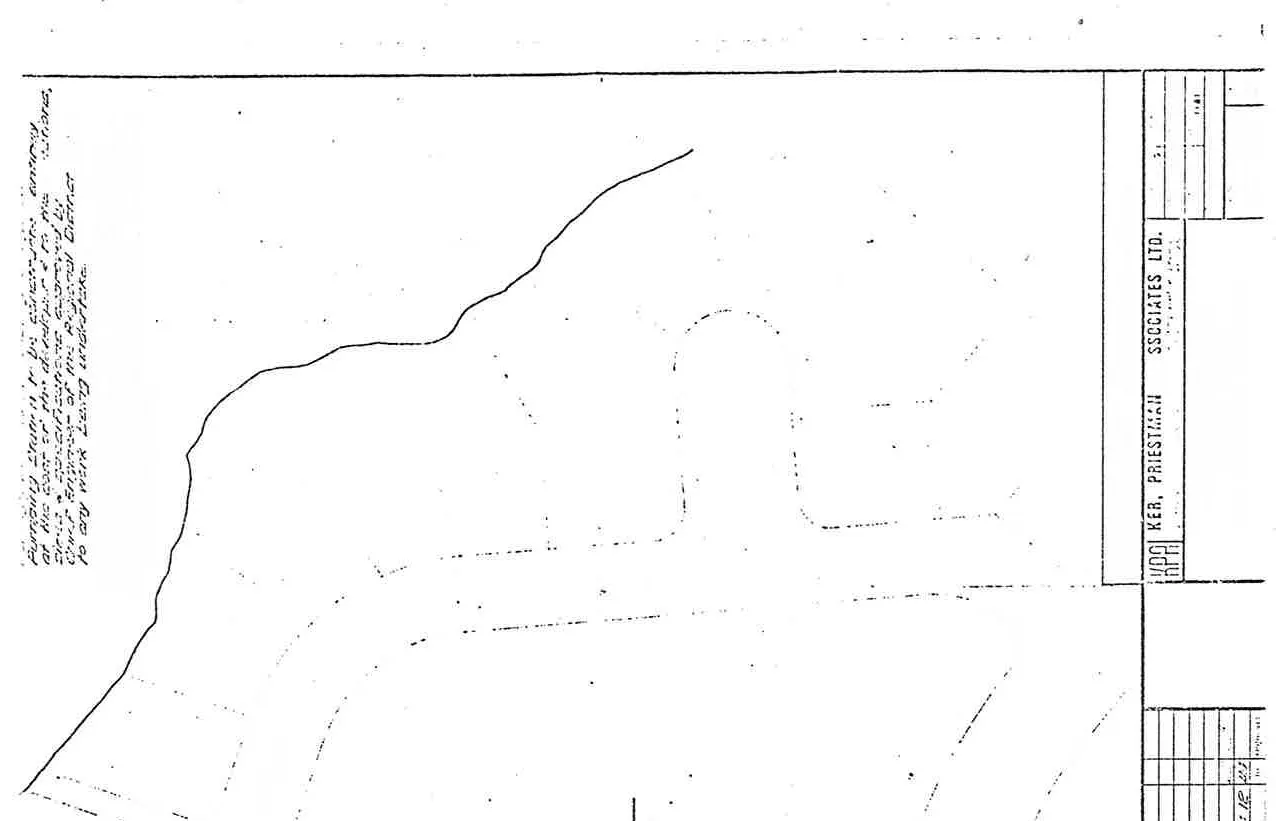
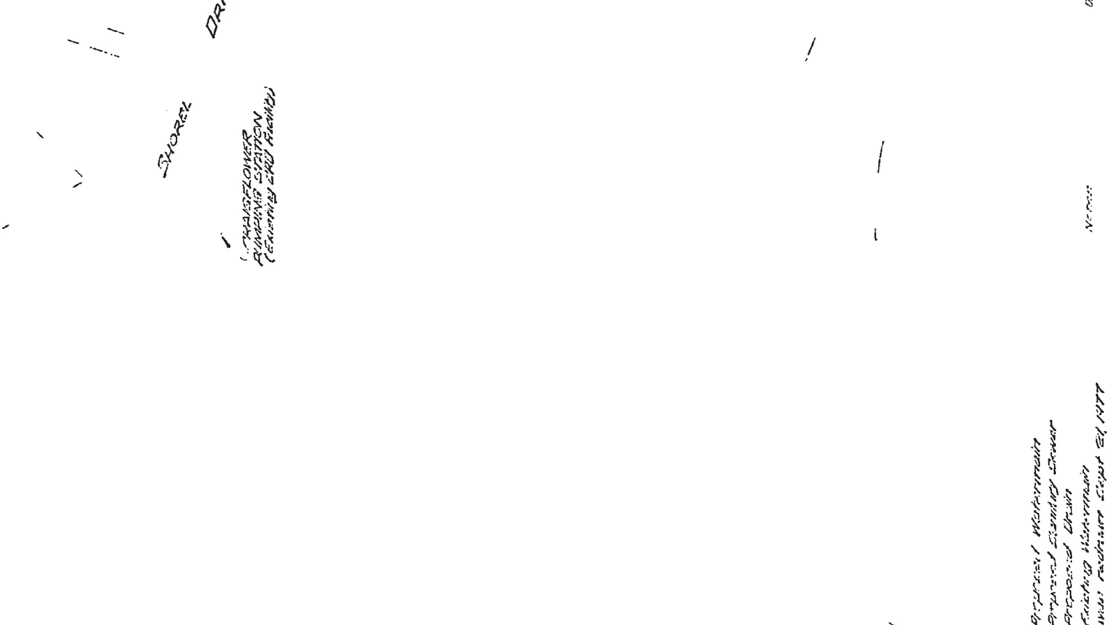
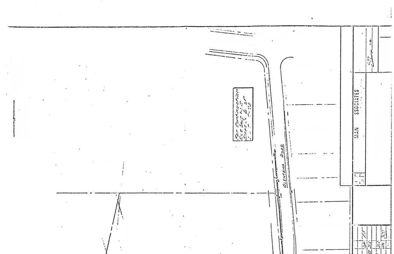
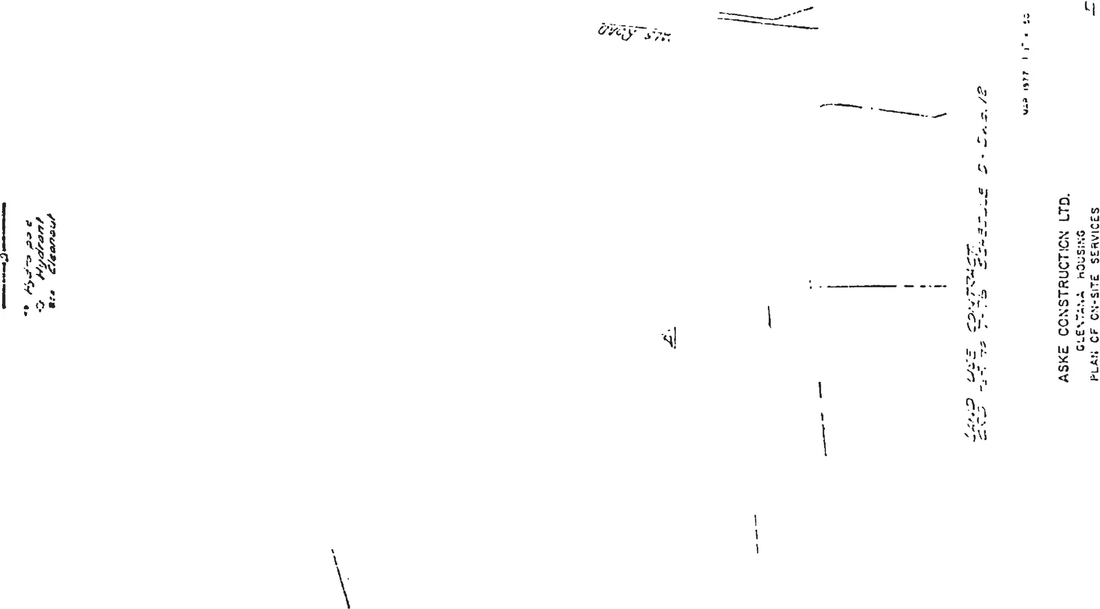
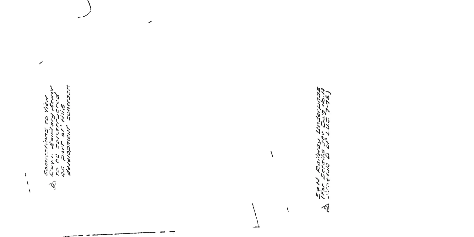
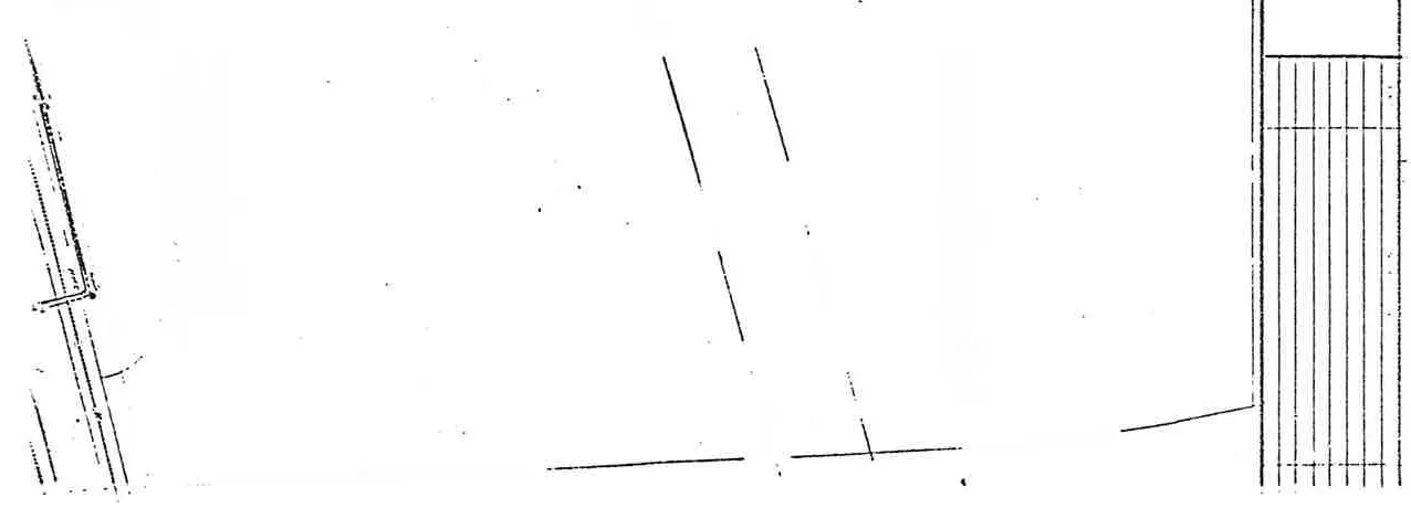
Plan of On-Site Services
Site plan showing the layout of on-site utility services along Glentana Road
E & N Railway Underpass (For details see Dwg. No. 14, Schedule D of L.U.C. 7-75).
Connections to View Royal Sanitary Sewer to be constructed as part of this development contract.
Services map detail including note for plan continuationTitle block and specific note regarding the railway underpassPlan detail showing site layout and property boundariesNotes concerning sanitary sewer connections and railway underpass detailsLayout plan featuring the Glentana Road areaBoundary line identification and drawing number labelLabel indicating the proposed fire access routeDetail of the underground service line layoutLegend for utility services: Storm Drain, Watermain, etc.Map section showing Glentana Road site layoutProperty line and project boundary details
Page 245–252
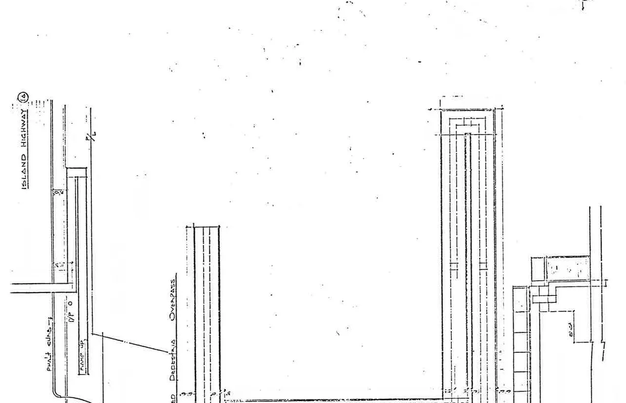
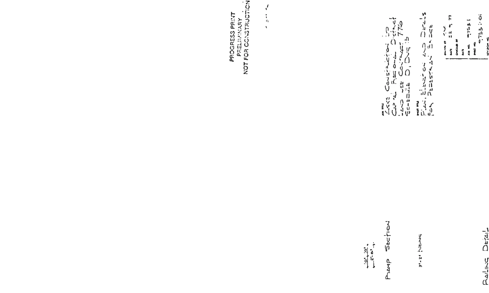
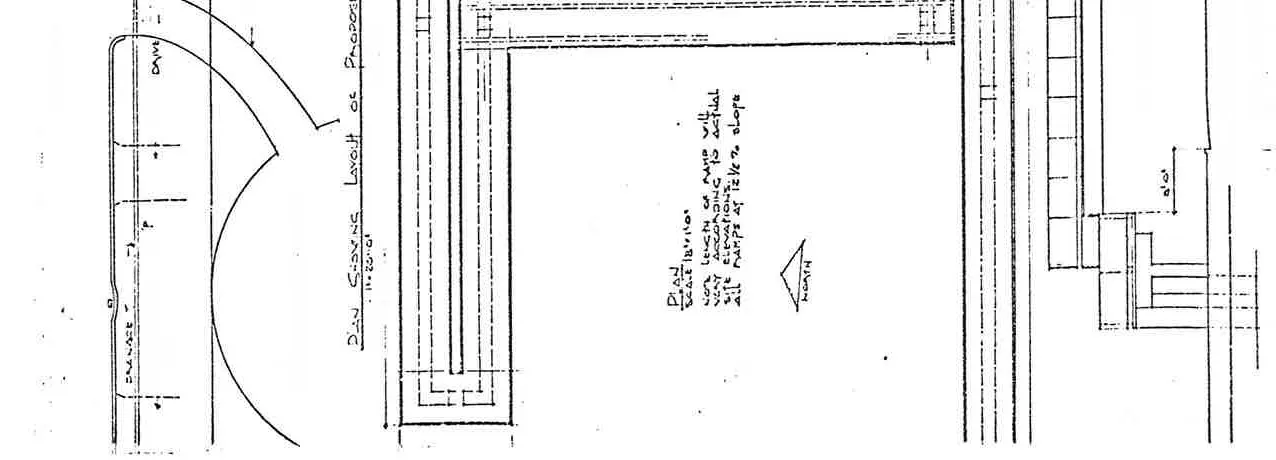
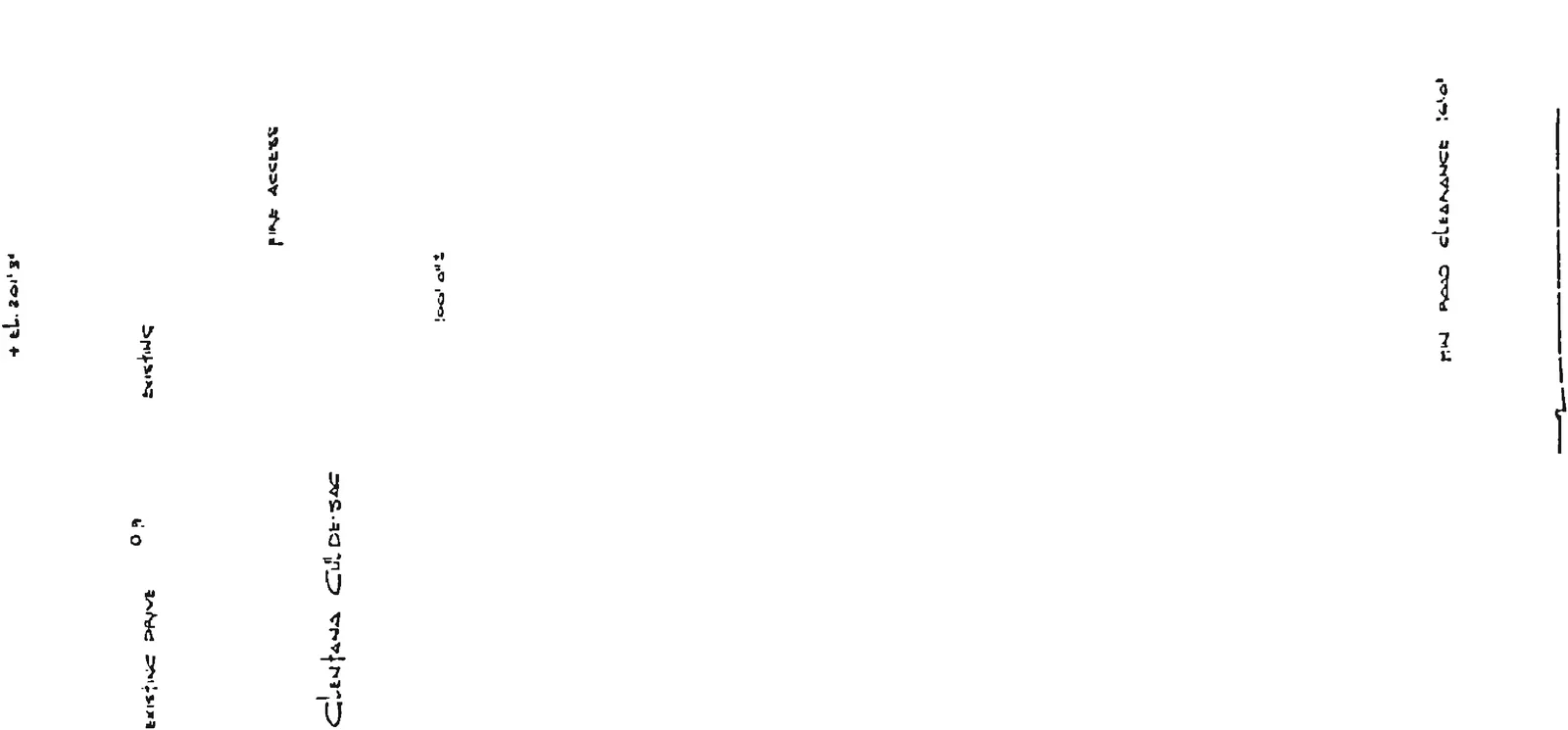
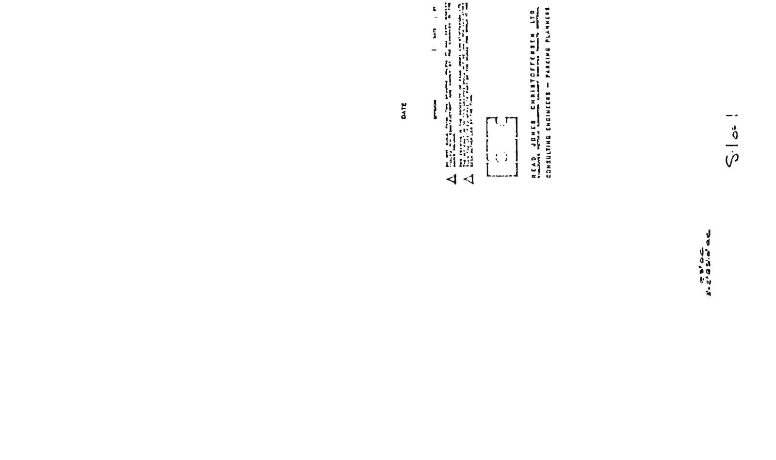
Pedestrian Overpass Details
Layout plan for the proposed pedestrian overpass over Island Highway
Project Information
Schedule D, Dwg. 13
Project: Aske Construction Ltd., Capital Regional District Land Use Contract 7-76
Consulting Engineers: Read Jones Christoffersen Ltd.
Status: Progress Print - Preliminary - Not for Construction
Drawing Components
Plan Scale: 1/8" = 1'-0"
Plan Showing Layout of Proposed Pedestrian Overpass:Overview of the layout plan for the overpass structure
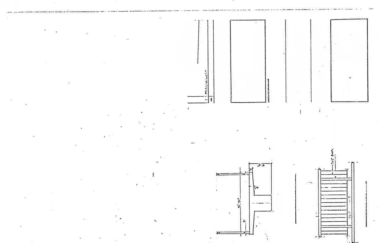
Elevation for Pedestrian Bridge:Detailed elevation view of the pedestrian bridge
Ramp Section:Structural section details for the pedestrian ramp
Railing Detail:Title block and railing design specifications
Design Notes
For length of ramp will vary according to actual site elevations. All ramps at 12 1/2 % slope. Detail of pedestrian bridge plan and ramp slope specification
Locations: Island Highway (1A), Glentana Cul-de-Sac.
Site labels for existing driveway and fire access pointsNorth arrow for the pedestrian bridge layout planDimensions and detailed labels for structural elementsNote section and engineering firm information from the title blockMap labels for the overpass plot plan
Page 245–252
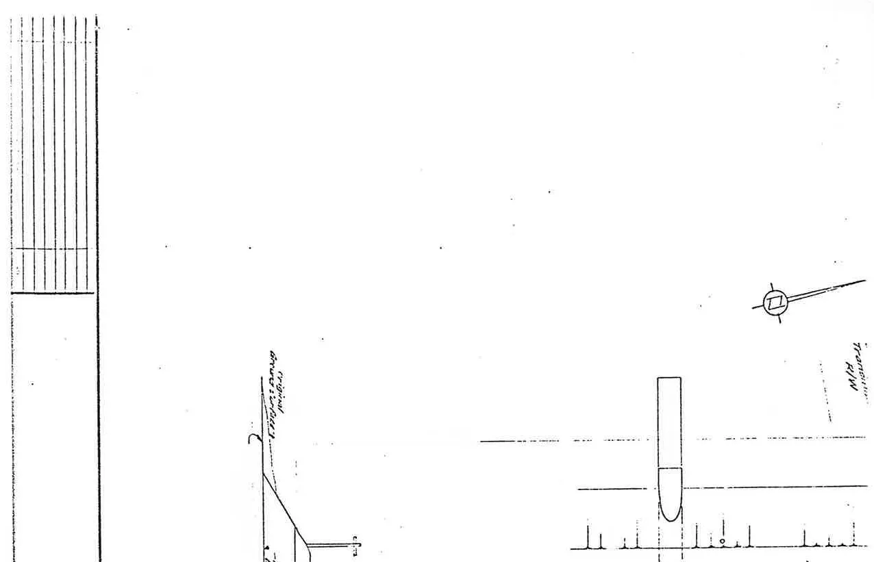
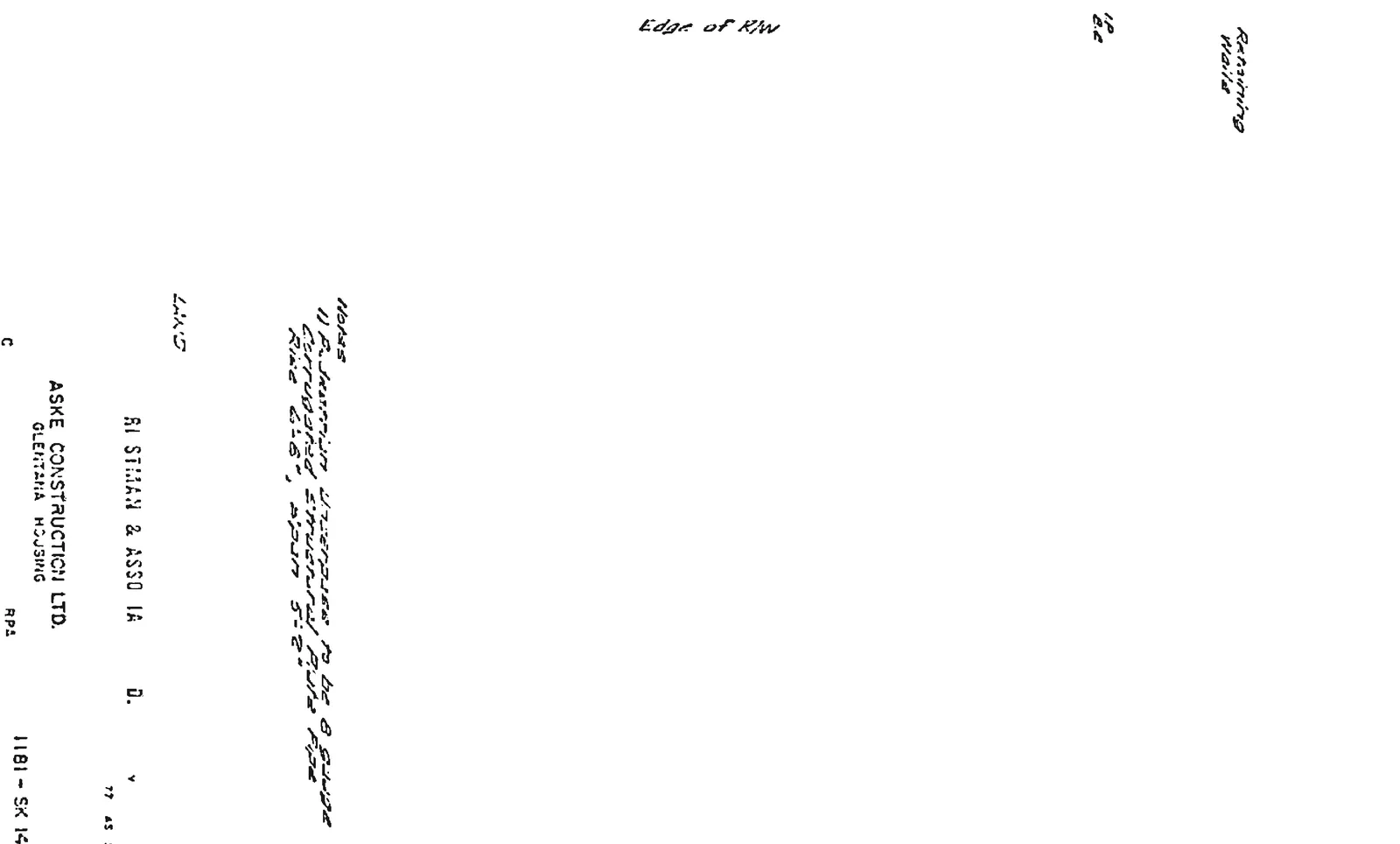
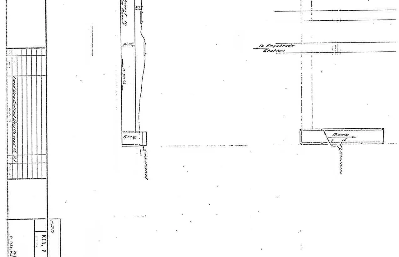
C.P. Railway Pedestrian Underpass
Plan and profile overview of the pedestrian underpass under the railway
Note 1: P. Aluminum underpass to be 8 gauge corrugated structural plate pipe. Rise 6'-8", Span 5'-2". Note on underpass material and structural plate pipe details
Drawing Components
Plan: Scale 1" = 10'
Profile: Scale 1" = 10' Hor. & Vert.
Key Features: Main Track, Siding, Ramp, Concrete Retaining Wall.
Profile and plan detail of the railway crossingTitle block for Drawing 1181-SK 14Profile detail showing depth and gradeLabels for the plan and profile viewsPlan and profile identification labelsDetailed view of the underpass structure and notes
Page 245–252
Extracted from: 2022 05 17 Council Agenda - Agenda - Pdf