Appendix
Attachment 2 - Air Photo
July 19, 2022Page 481 section
An aerial photograph highlighting the Phase 4 development site boundary and its proximity to the Trans-Canada Highway.
Phase 4 development site1950 West Park Lane
Attachment 2 - Air Photo
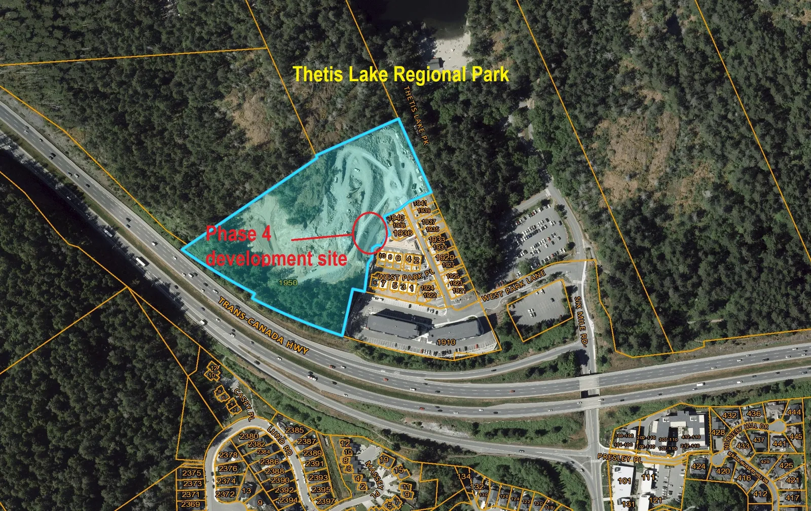
Scale: 1:2,500 NAD_1983_UTM_Zone_10N
Important: This map is for general information purposes only. The Capital Regional District (CRD) makes no representations or warranties regarding the accuracy or completeness of this map or the suitability of the map for any purpose. This map is not for navigation. The CRD will not be liable for any damage, loss or injury resulting from the use of the map or information on the map and the map may be changed by the CRD at any time.
Page 48
Document Images
(1)
Extracted from: 2022 07 19 Council agenda - Agenda - Pdf