Appendix
Attachment 1: Subject Property location and air photo
September 6, 2022Page 1271 section
Map Title
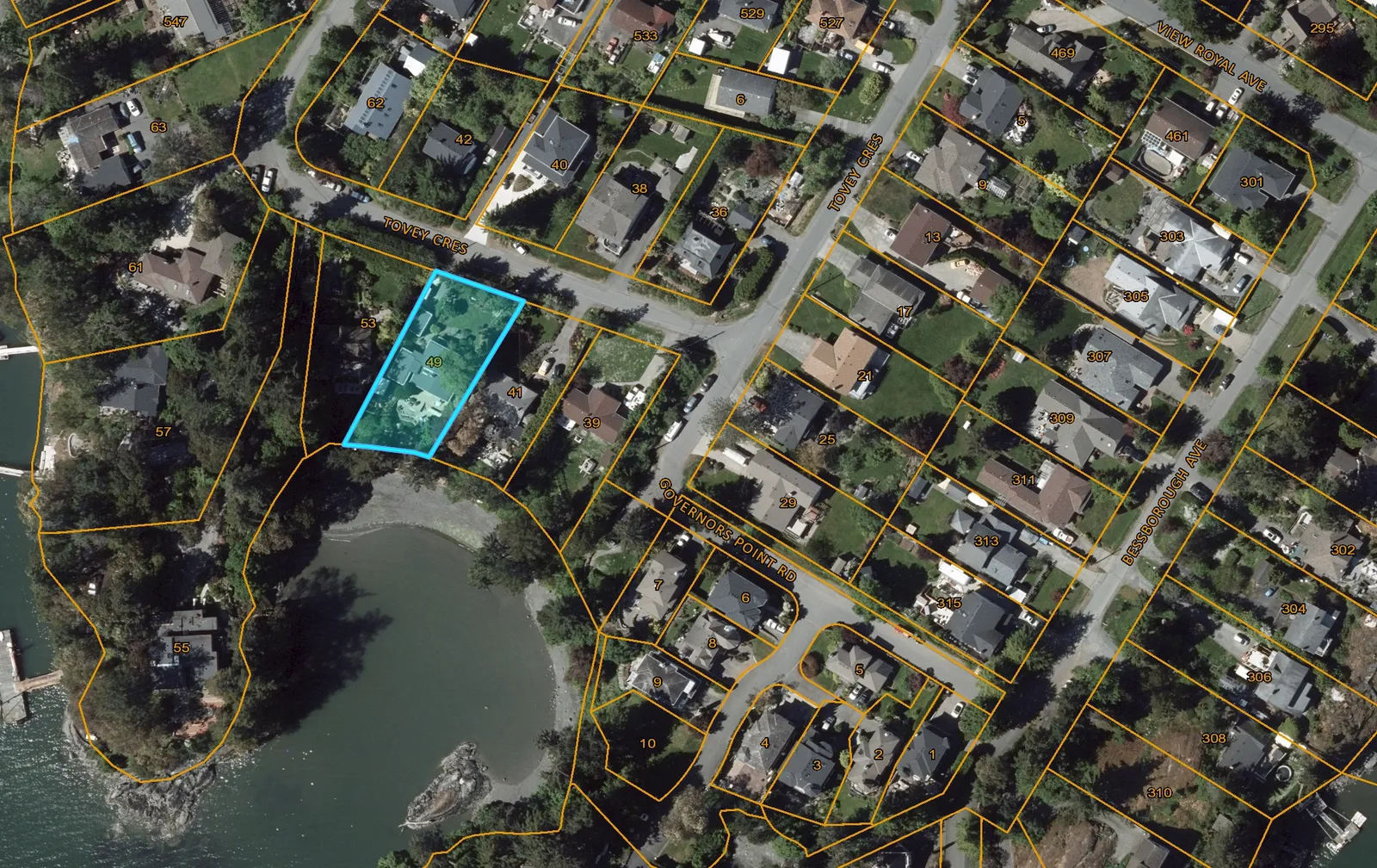
Attachment 1
Map Information
- Scale: 1:1,000
- Coordinate System: NAD_1983_UTM_Zone_10N
- Scale Bar: 0 to 50.8 Meters
Legend
(Empty)
Notes
(Empty)
Disclaimer
Important: This map is for general information purposes only. The Capital Regional District (CRD) makes no representations or warranties regarding the accuracy or completeness of this map or the suitability of the map for any purpose. This map is not for navigation The CRD will not be liable for any damage, loss or injury resulting from the use of the map or information on the map and the map may be changed by the CRD at any time.
© Capital Regional District
Page 127
Document Images
(1)
Extracted from: 2022 09 06 Council Agenda - Agenda - Pdf