ACTIVE TRANSPORTATION NETWORK PLAN - UPDATE Presentation
A presentation providing a status update on the Active Transportation Network Plan, summarizing Phase 2 engagement results and next steps.
ACTIVE TRANSPORTATION NETWORK PLAN - UPDATE
PURPOSE:
- To update Council on the progress of the Active Transportation Network Plan project (“ATNP”)
- To summarize the project’s first round of public engagement
COMMUNITY ENGAGEMENT TO DATE


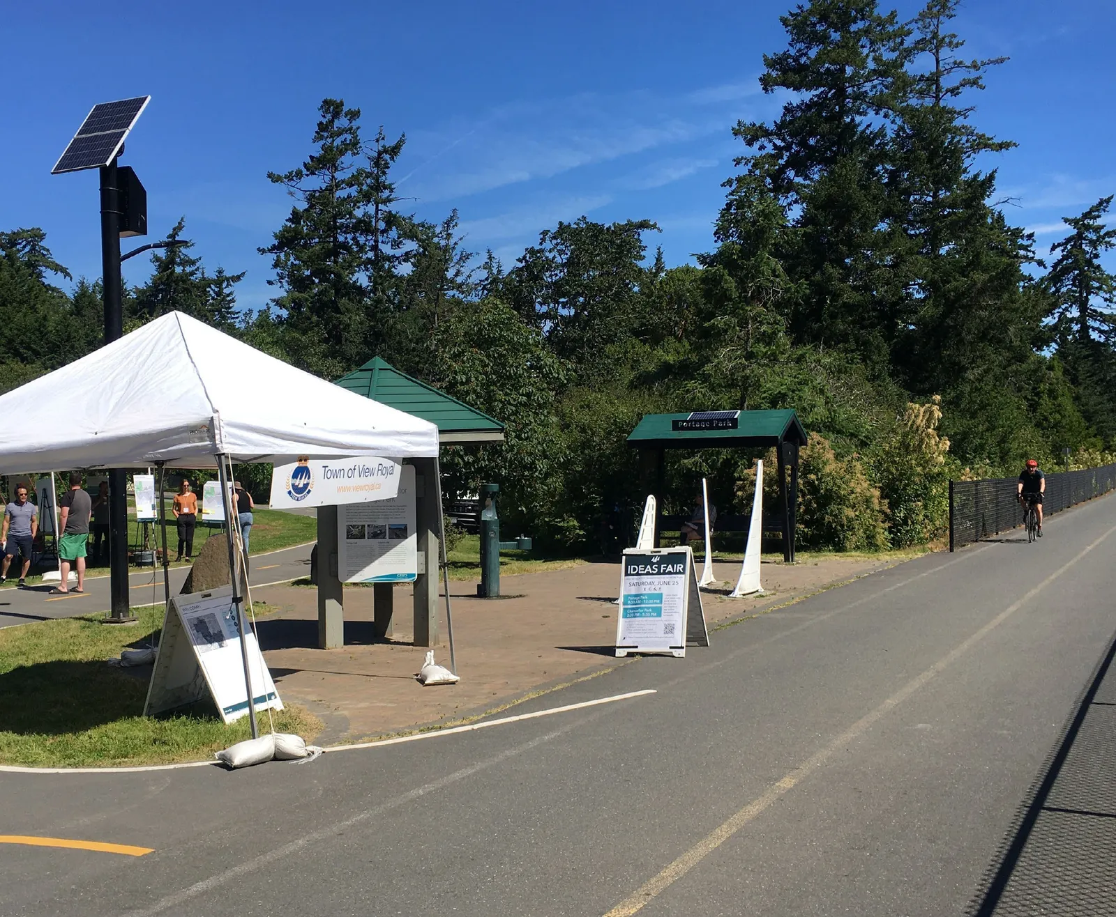
PHASE 2 ENGAGEMENT (Complete)
What We Heard Summary #1
1) By the Numbers
- 369 Online Survey Responses
- Approx. 76 Ideas Fair Participants
- 7 Stakeholder Interviews
2) Who We Heard From

3) Destinations & Getting There
4) General Barriers and Desired Improvements – Walking & Rolling
3 Common Issues:
- Poor or lack of sidewalks great gaps
- Many road crossings feel unsafe
- Speed of Motor Vehicle Traffic makes some facilities feel unsafe
Desired Improvements:
- Filling in the gaps could improve connections to local destinations
- Provide more separation from motor vehicle traffic
- Reduce intersection crossing times including the time to cross over the TCH
5) General Barriers and Desired Improvements – Cycling
3 Common Issues:
- Uncomfortable cycling on arterial and major roads without painted bike lanes
- Conflicts with all road users (pedestrians, vehicular traffic, cyclists)
- Poor connections to key destinations in View Royal
Desired Improvements:
- More separation / protection from vehicles on road corridors and intersections
- Implement traffic calming measures to slow vehicle traffic
- Improve connectivity, continuity and wayfinding of the cycling network
6) General Barriers and Desired Improvements – Trail Connections
Key Takeaways:
- Dissatisfaction with separation between cyclists and pedestrians
- Dissatisfaction with connections between trails/pathways/other routes
- Stakeholder interviews indicated a need to engage and collaborate with neighbouring local and regional governing agencies
- Lighting challenges on these regional trails
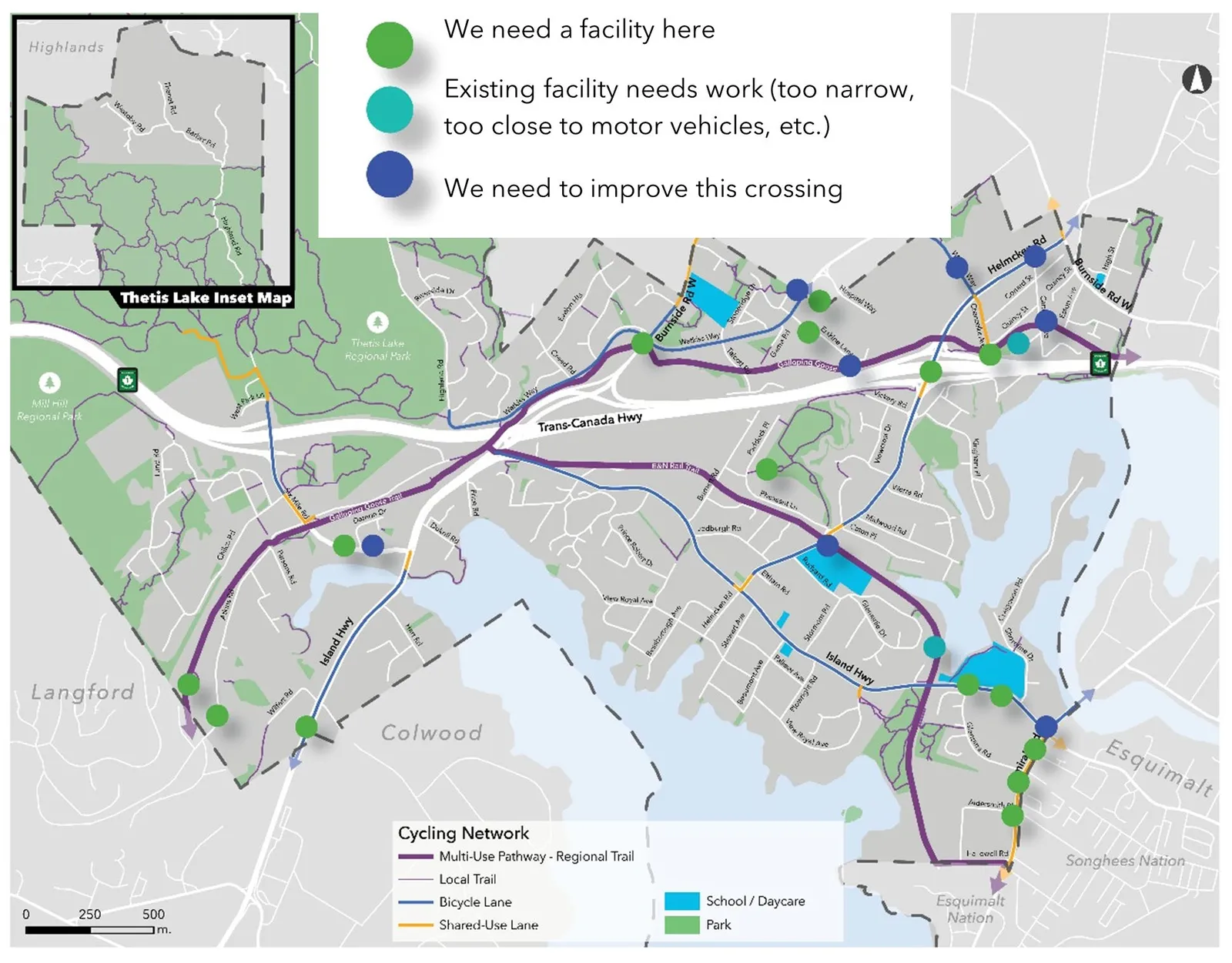
7) Common Gaps in the Existing Network
8) Community Vision
Imagine View Royal in 10 Years:
- One with sidewalks, trails and protected bike lanes that link neighbourhoods and key destinations
- Seamless connections between trails and key destinations, with commercial hubs next to and facing key access points
- Improved safety for all modes and especially for children
- A well-lit active transportation network that includes lighting on trails
- Reduced vehicle traffic with more people choosing to use active transportation
Stakeholder Interviews: Top 3
- Safety
- Connectivity
- Equity
NEXT STEPS
Phase 3:
- Draft pedestrian and cycling network maps
- Draft pedestrian improvement options
- Draft cross-sections for key road corridors
- Develop a list of priority active transportation projects
- Draft the plan vision and goals
- Public Engagement Round 2!
QUESTIONS?
Ivan Leung, P.Eng Director of Engineering Town of View Royal
Document Images
(22)
Timeline icon for Phase 1: Project Initiation & Baseline Conditions

Timeline icon for Phase 2: Initial Stakeholder & Public Engagement

Timeline icon for Phase 3: Network Analysis, Prelim. Strategies & Solutions

Timeline icon for Phase 4: Draft Plan

Timeline icon for Phase 5: Plan Finalization

Pie chart showing Geographic Representation of participants: View Royal (66%), Core (24%), Westshore (9%), Songhees Nation (0.6%), and Other (0.6%)

Bar chart showing the Number of Children per household among the 37% of respondents with children, broken down by age groups 0-12 Yrs and 13-18 Yrs

Horizontal bar chart comparing trip purposes for Walking and Cycling, with Exercise being the most common reason for both

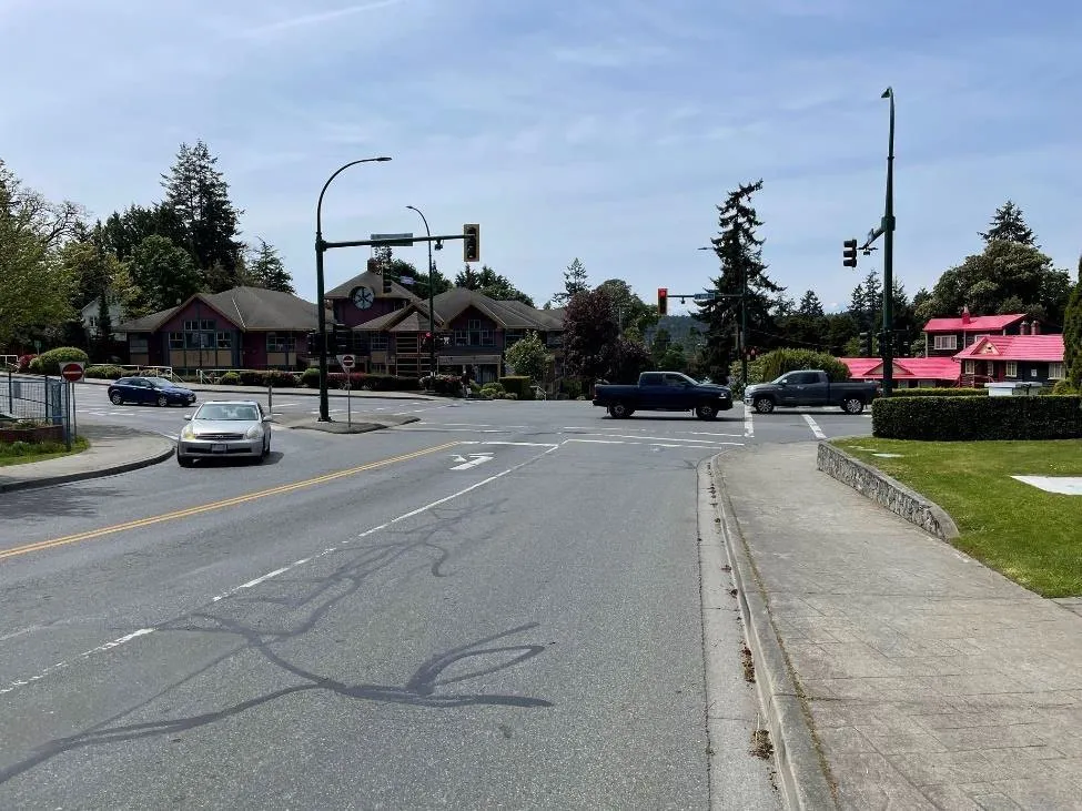
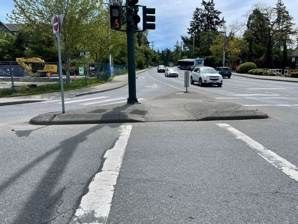
Photograph of a large signalized intersection from a pedestrian perspective

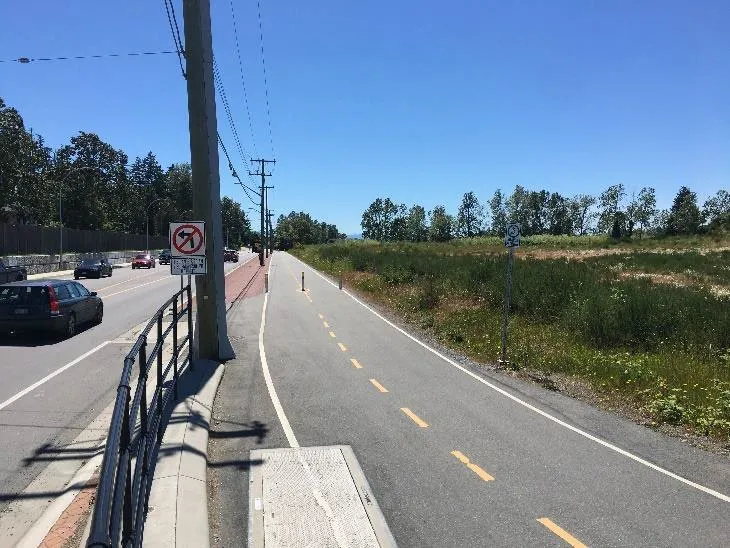
Photograph of a roadway featuring a painted bike lane

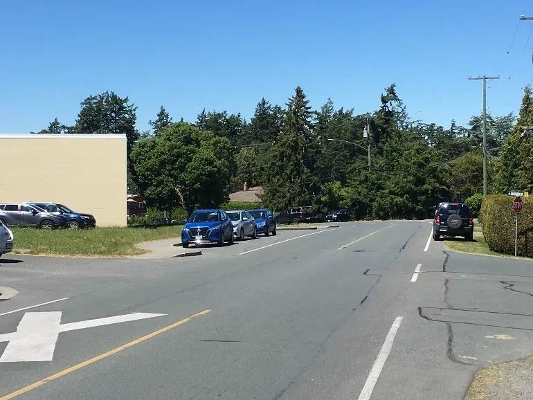
Photograph of a commercial street corner with existing pedestrian infrastructure

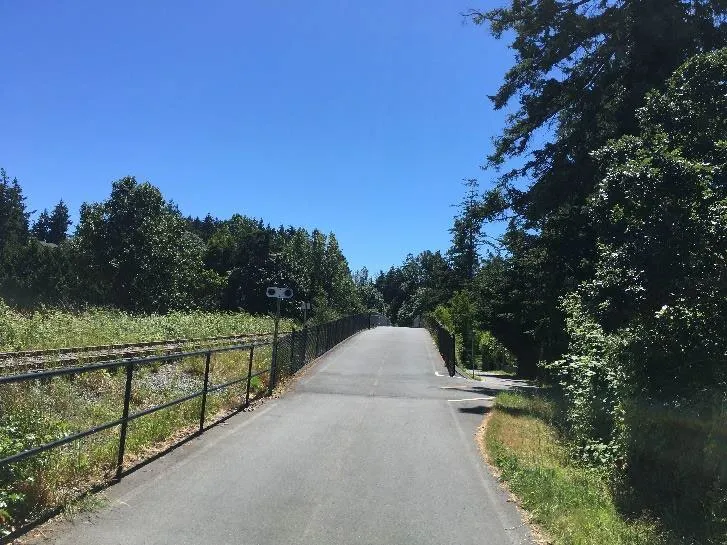
Photograph of a paved multi-use trail incline

Photograph of a paved multi-use trail running alongside a roadway