Appendix
ALC Schedule A: Decision Map – File 69721
March 4, 2025Page 2801 section
Annotated map showing the conditionally approved access road and security fenced area within the ALR boundary.
July 10, 2024Scale 1:2,000
Schedule A: Decision Map
2023 ESRI / Maxar Orthophoto
Local Government: Saanich Mapsheet No: 92B.043
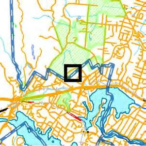
| ALC File No: | 69721 | Resolution No: | 481/2024 |
|---|---|---|---|
| Map Produced: | July 10, 2024 | Map Scale: | 1:2,000 |
Legend
- Conditionally Approved Access Road and Security Fenced Area (~0.0485 ha)
- Subject Property
- Agricultural Land Reserve
- Municipalities
- PMBC Parcel Cadastre
Data Sources & Notes: ALC, BCGW and ESRI / Maxar. Contains information licensed under Open Government License - British Columbia. Map for reference only. Accuracy not guaranteed.
0 20 40 60 80 100 Metres
Page 280
Extracted from: 2025 03 04 Council Agenda - Agenda - Pdf