Presentation
Town of View Royal Community Wildfire Resiliency Plan 2025 (Presentation)
May 13, 2025Pages 11–2616 sections
Presentation slides covering the project phases, Wildland Urban Interface (WUI) assessments, and key recommendations for wildfire education and planning.
Approximate total area: 1400 haField work: October 202446% of Eligible WUI is private land
Town of View Royal Community Wildfire Resiliency Plan 2025
Blackwell Consulting Ltd. | Monica Nederend, RPF May 2025
Page 11–26
Community Wildfire Resiliency Plan (CWRP) Project Phases
- Background review
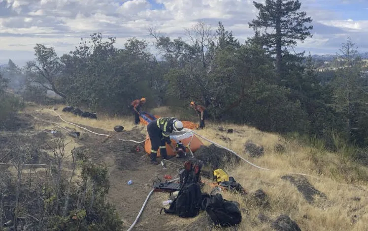
- Field work (October 2024)
- Plan development:
- Identify wildfire threat through spatial analysis
- Interpret data, describe potential consequences of wildfire
- Action plan to reduce wildfire risk (FireSmart Disciplines)
Result: Recommendations to increase wildfire resiliency
Page 11–26
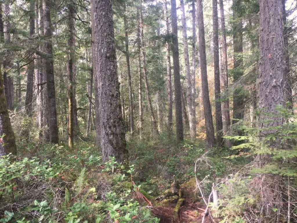
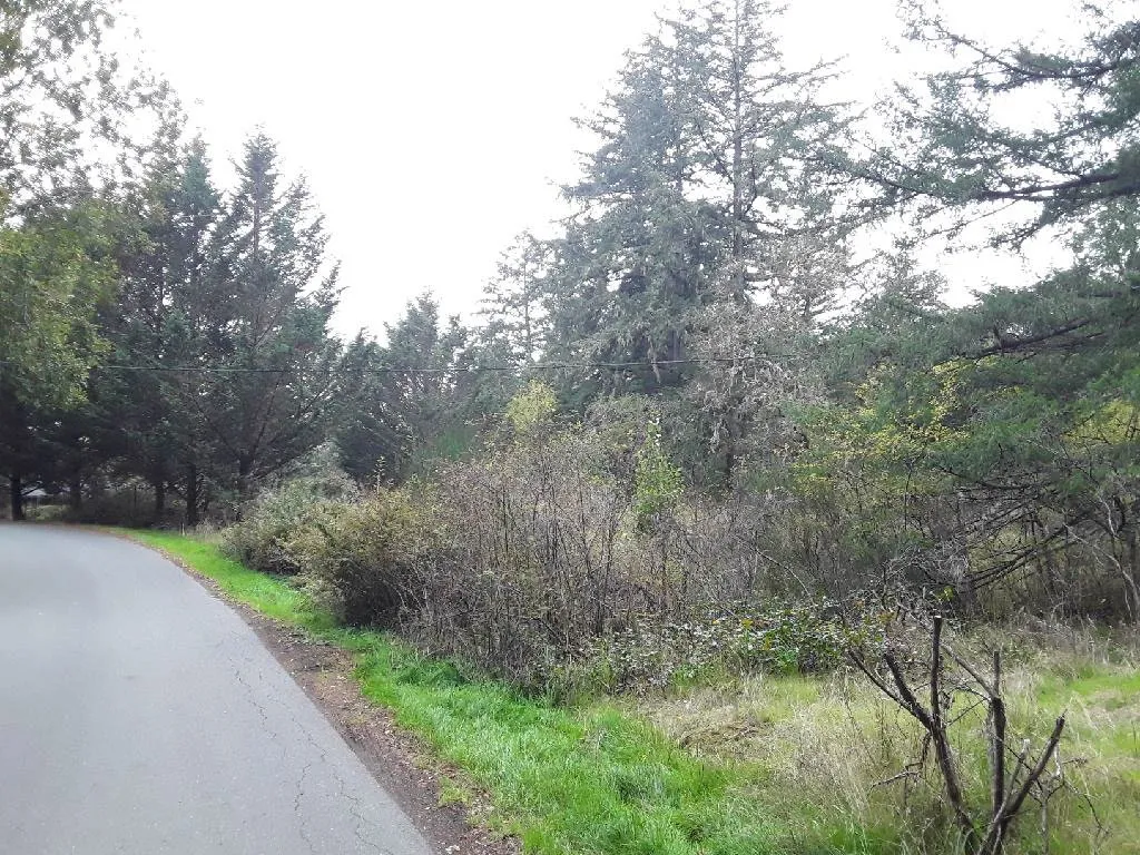
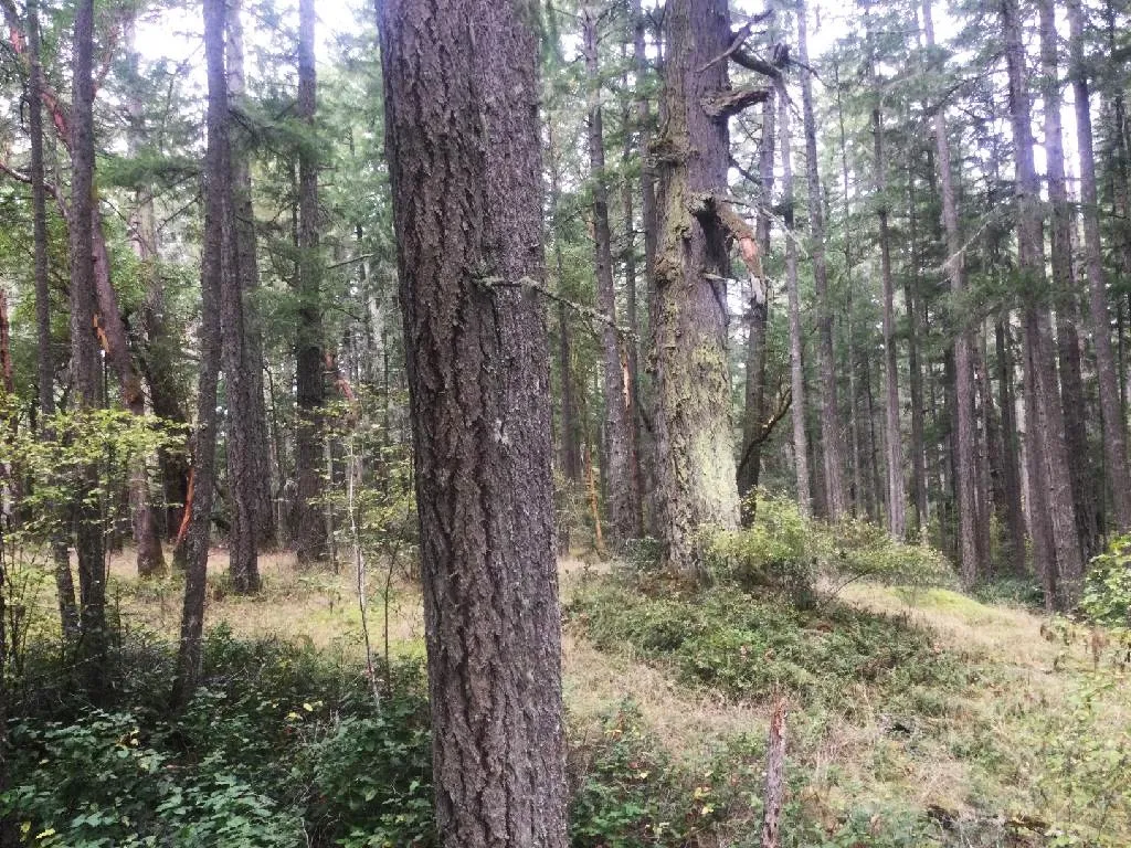
The Wildland Urban Interface (WUI)
Intermix Developments embedded in forest/wildland
Interface Where the “forest meets the community”
Page 11–26
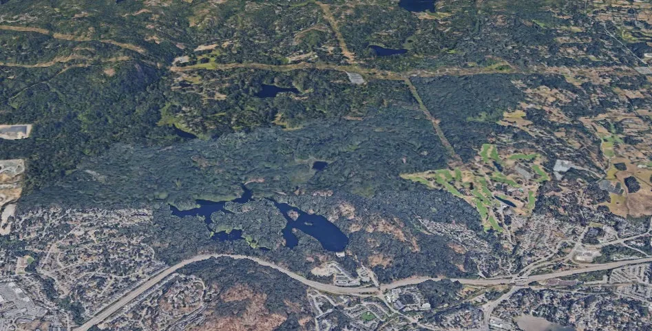
Area of Interest & ‘Eligible WUI’
- Eligible Wildland-Urban Interface (WUI) area can be assessed for purposes of a CWRP:
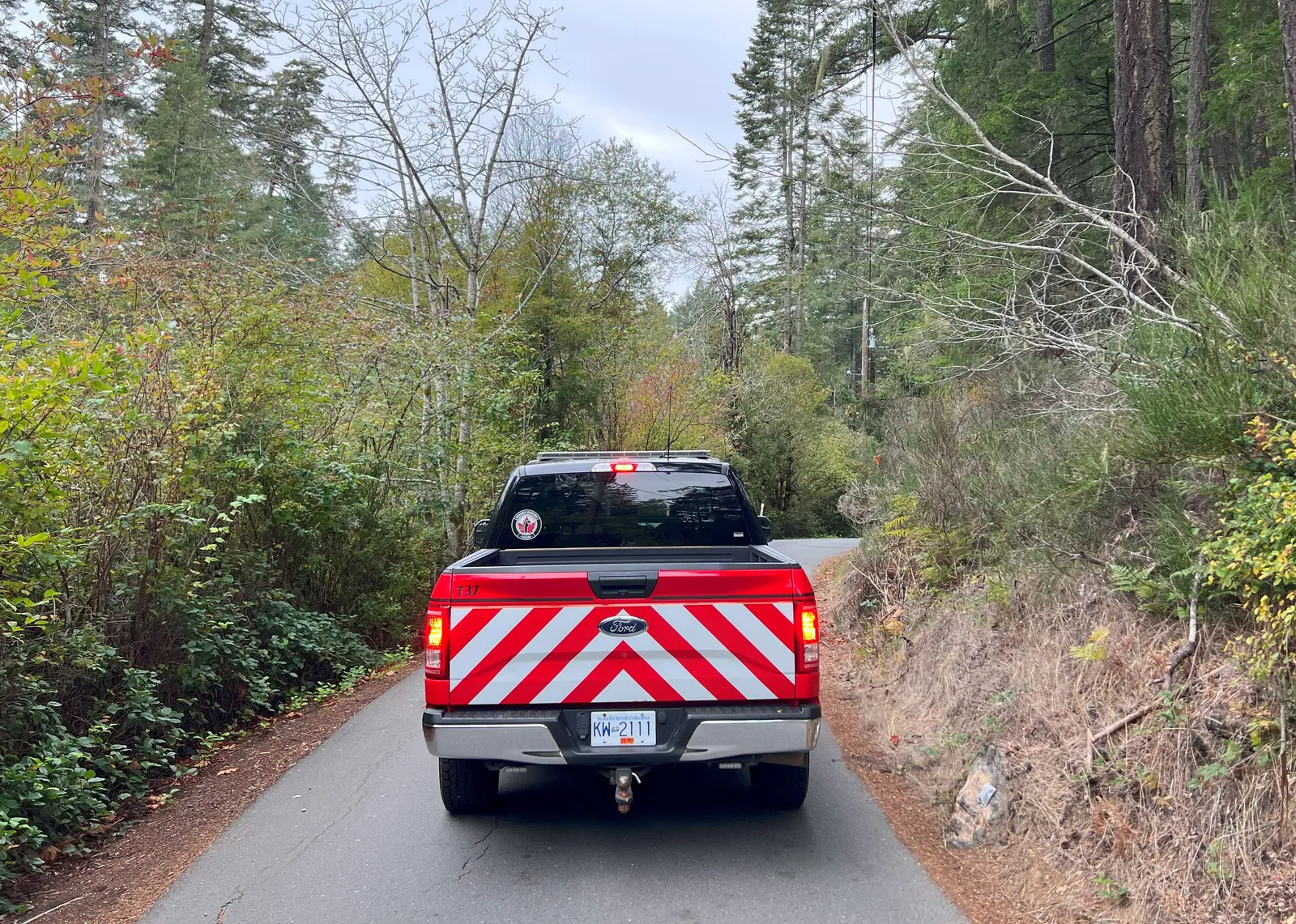
- Field work
- Wildfire Threat Assessment plots
- Fuel type verification
- Spatial analysis of wildfire threat
- Not including private land
- Field work
Page 11–26
Eligible WUI
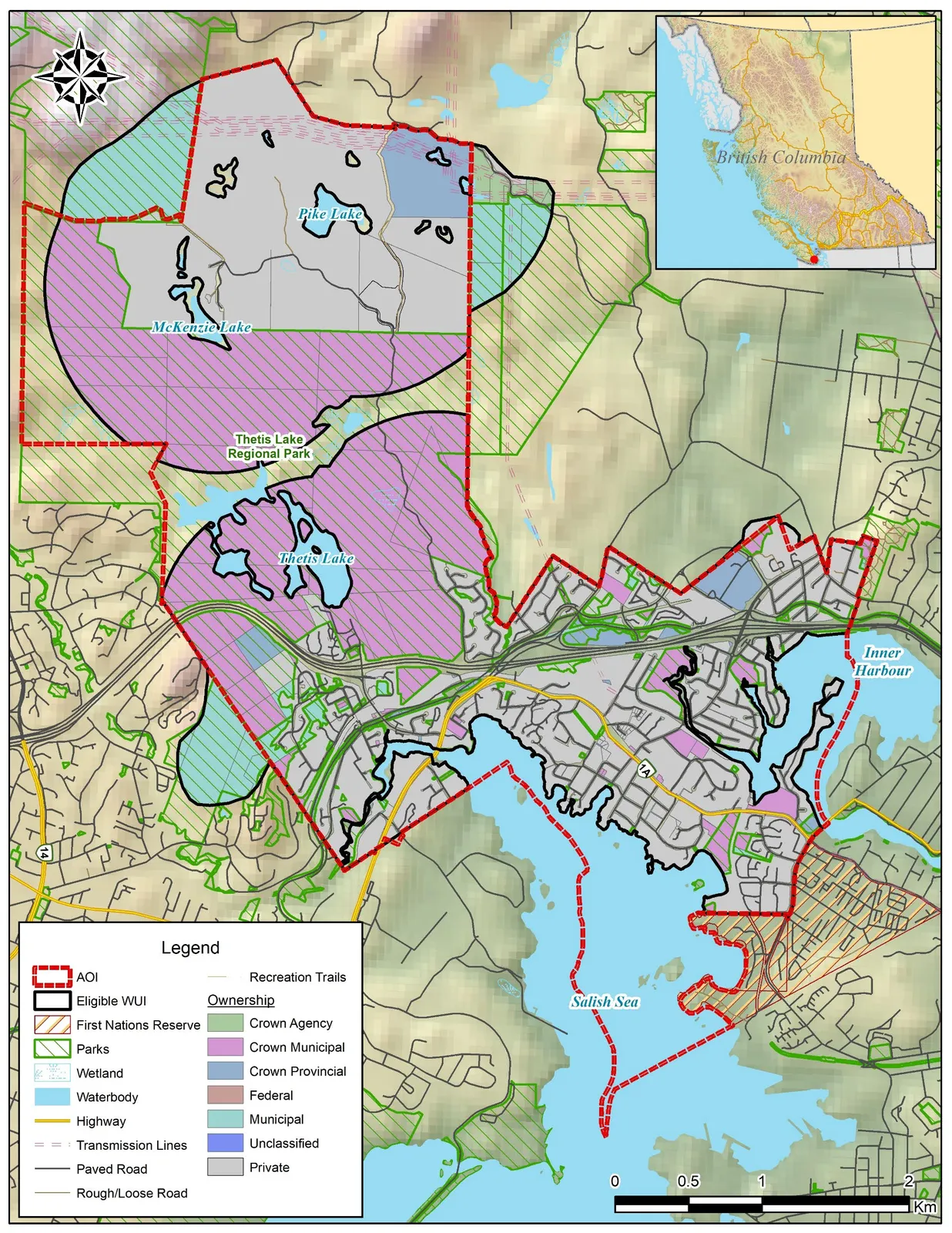
- Approximate total area: 1400 ha
Page 11–26
Local Wildfire Threat
Page 11–26
Wildfire Threat
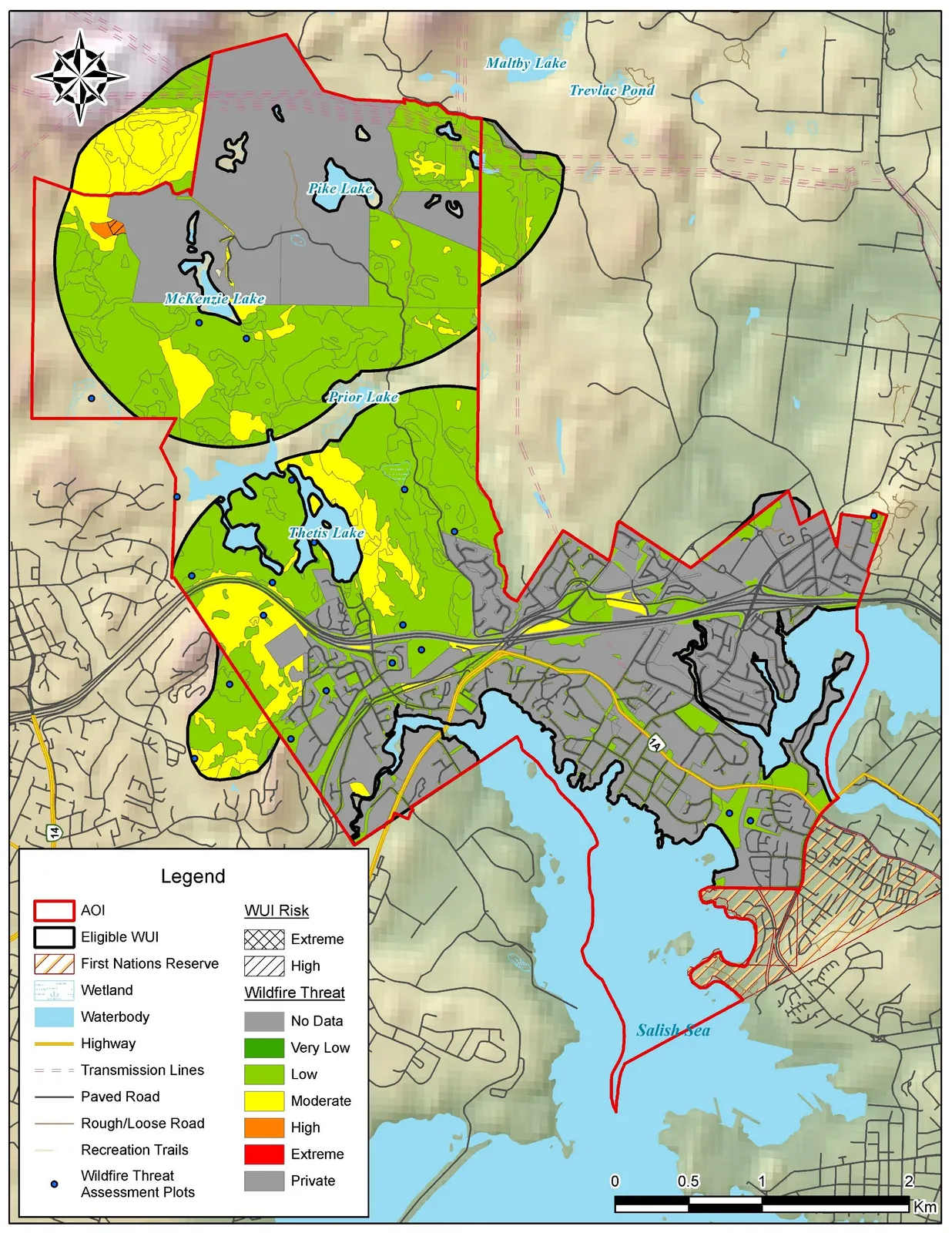
- <1% of public land is extreme or high threat
- 20% of public land is moderate threat
- 80% of public land is low or very low threat
- 46% of Eligible WUI is private land – not analyzed
Page 11–26
Key Recommendations
Page 11–26
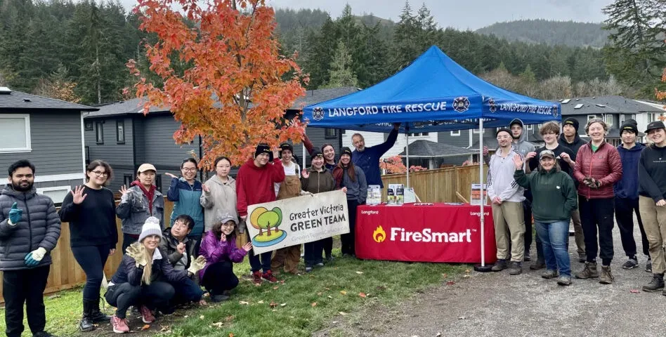
Education
- Continue to:
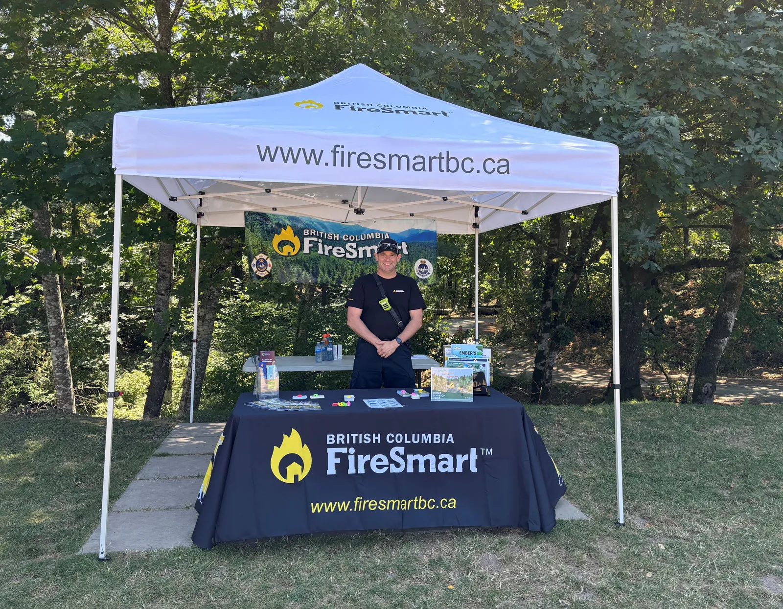
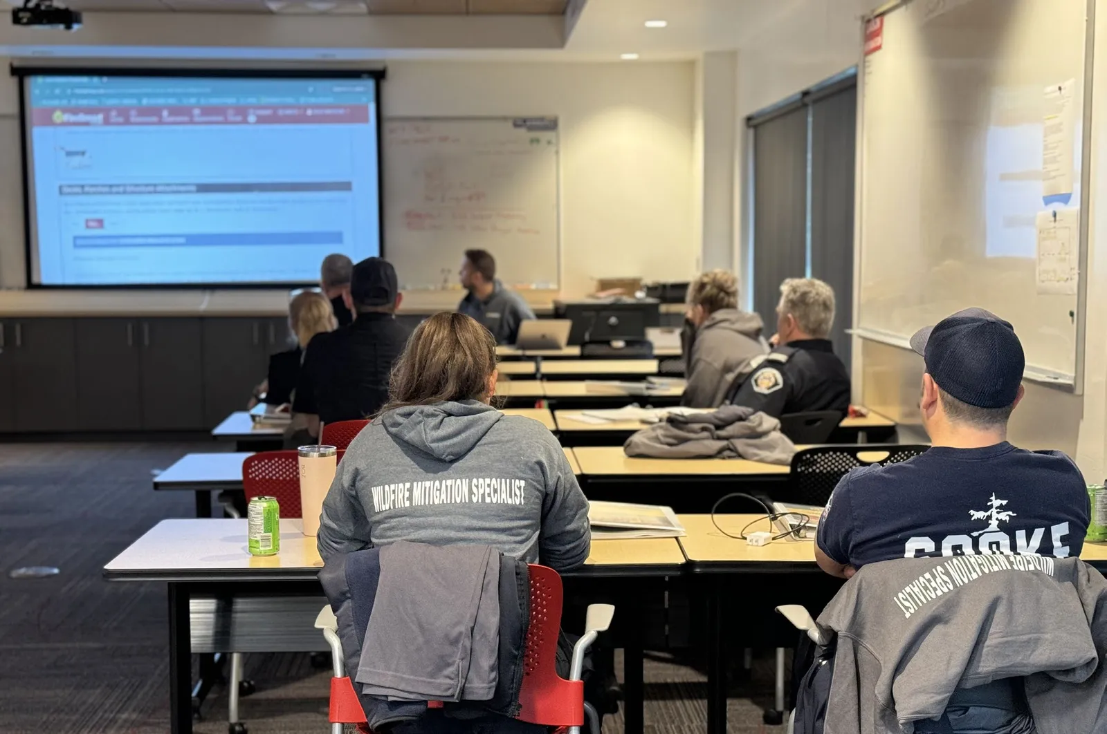
- Employ FireSmart Coordinator
- Host workshops, multi-media messaging & community events
- Promote Wildfire Mitigation Assessments & FireSmart rebate program
- Establish new programming:
- FireSmart Education Program
- FireSmart Plant Program
Page 11–26
Planning and Legislation
- Update Emergency Response Plan
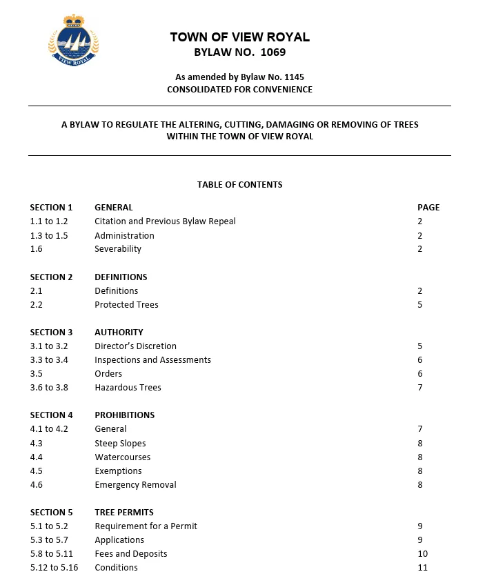
- Revise Tree Protection, Emergency Management bylaws
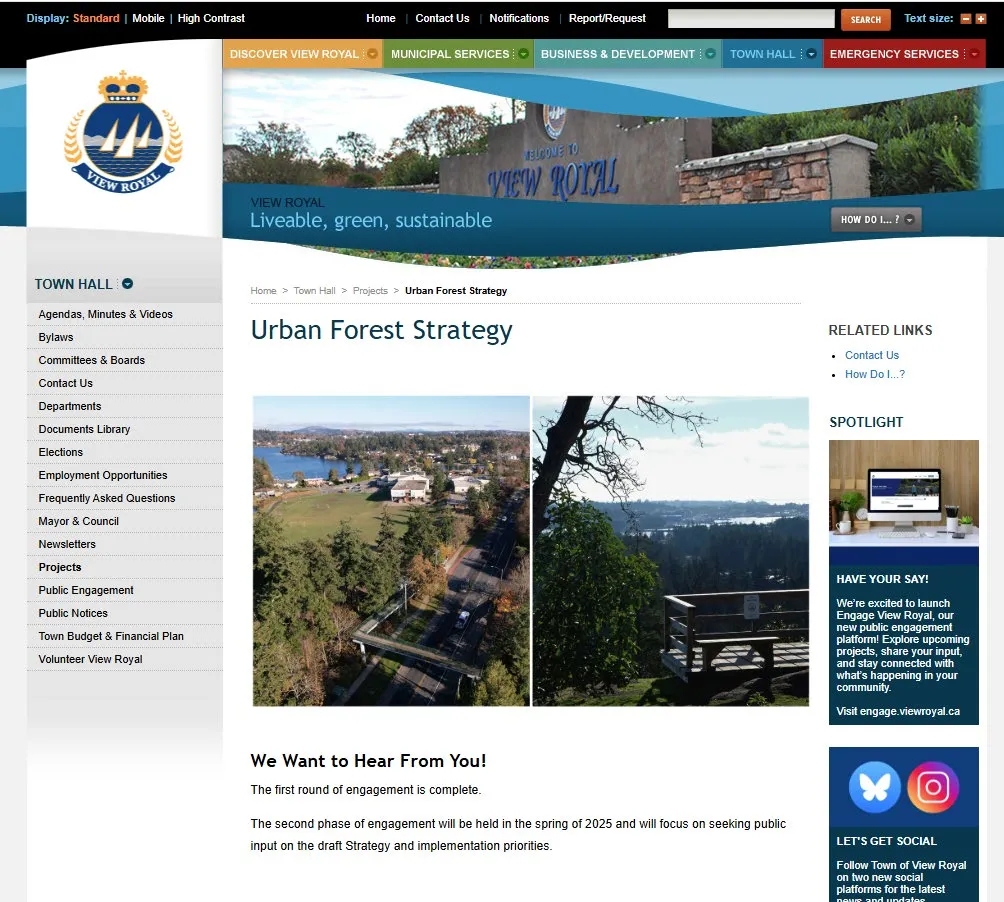
- Complete the Urban Forest Strategy
Page 11–26
Development Considerations
- Assess & upgrade critical infrastructure
- Include Wildfire Development Permit Area in the Official Community Plan update
- Consider FireSmart principles in Official Community Plan policies
Page 11–26
Interagency Cooperation
- Continue participating in the Greater Victoria Community FireSmart & Resiliency Committee
- Continue regular information sharing and consider a collaborative grant application with Esquimalt (Kosapsum) and Songhees First Nations
- Strengthen relationship with BC Wildfire Service
Page 11–26
Cross-Training
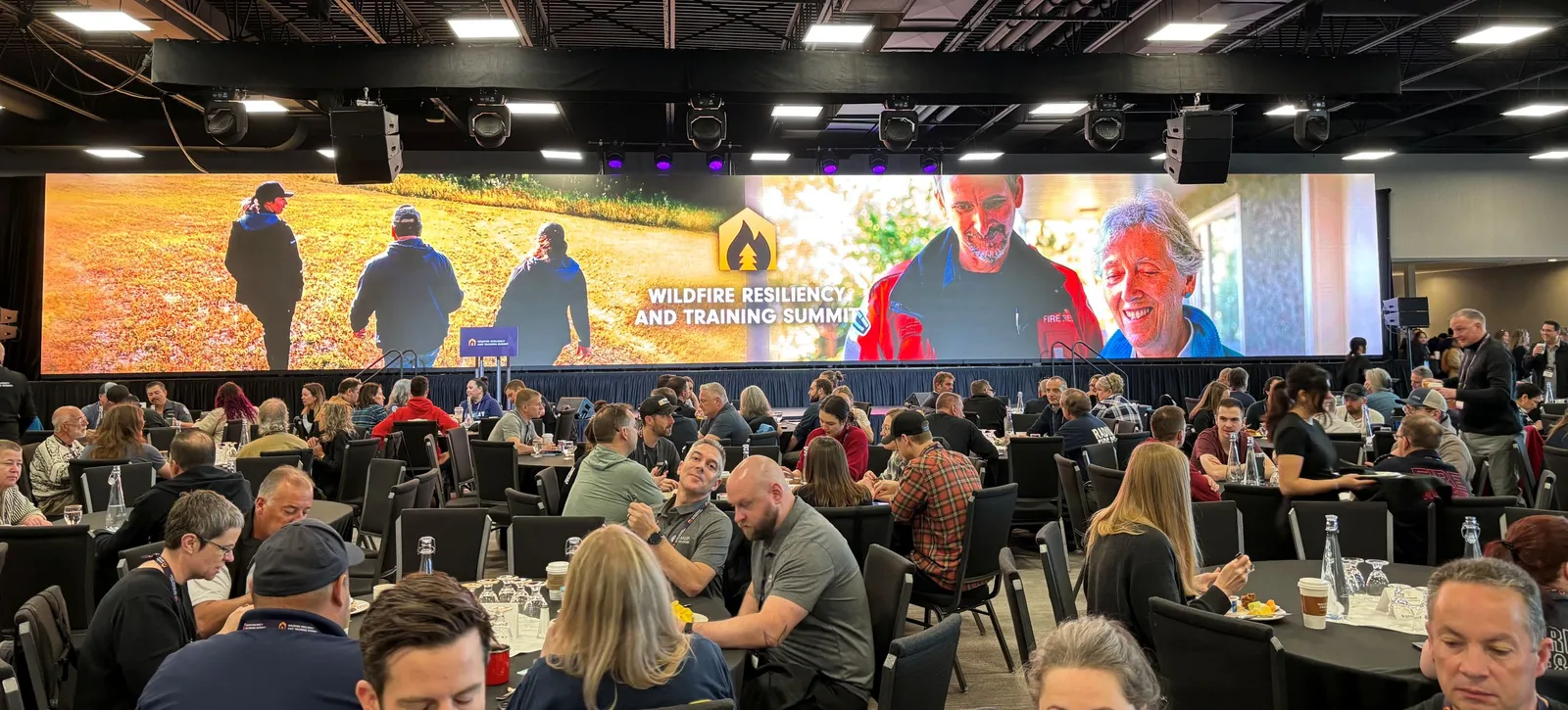
- Continue attending Wildfire Resiliency and Training Summit
- Maintain or expand interface wildfire training and FireSmart training for department members
Page 11–26
Emergency Planning
- Install water cisterns and wildfire equipment cache at key locations
- Evaluate funding sources for more pullouts and signage on Barker Road
- Evaluate opportunities for additional paid Emergency Management & Fire Prevention Division staff
- Continue reviewing inventory of wildfire equipment with BCWS
Page 11–26
Vegetation Management
- Continue working with invasive species volunteer programs
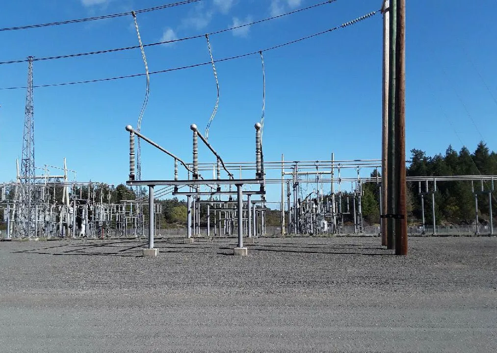
- Engage with BC Hydro and promote vegetation management on transmission line rights-of-way
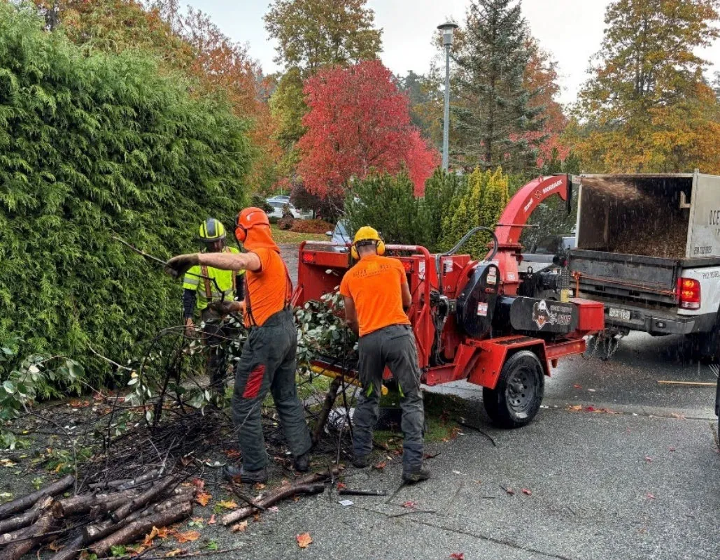
- Continue hosting community chipping days for residents
Page 11–26
Thank you!
Questions?
Please contact: m_nederend@bablackwell.com
Page 11–26
Related Documents
(1)Extracted from: 2025 05 13 Council Agenda - Agenda - Pdf