Appendix
ATTACHMENT 5 - Prescribed Frequent Transit Stops Map
June 4, 2024Page 921 section
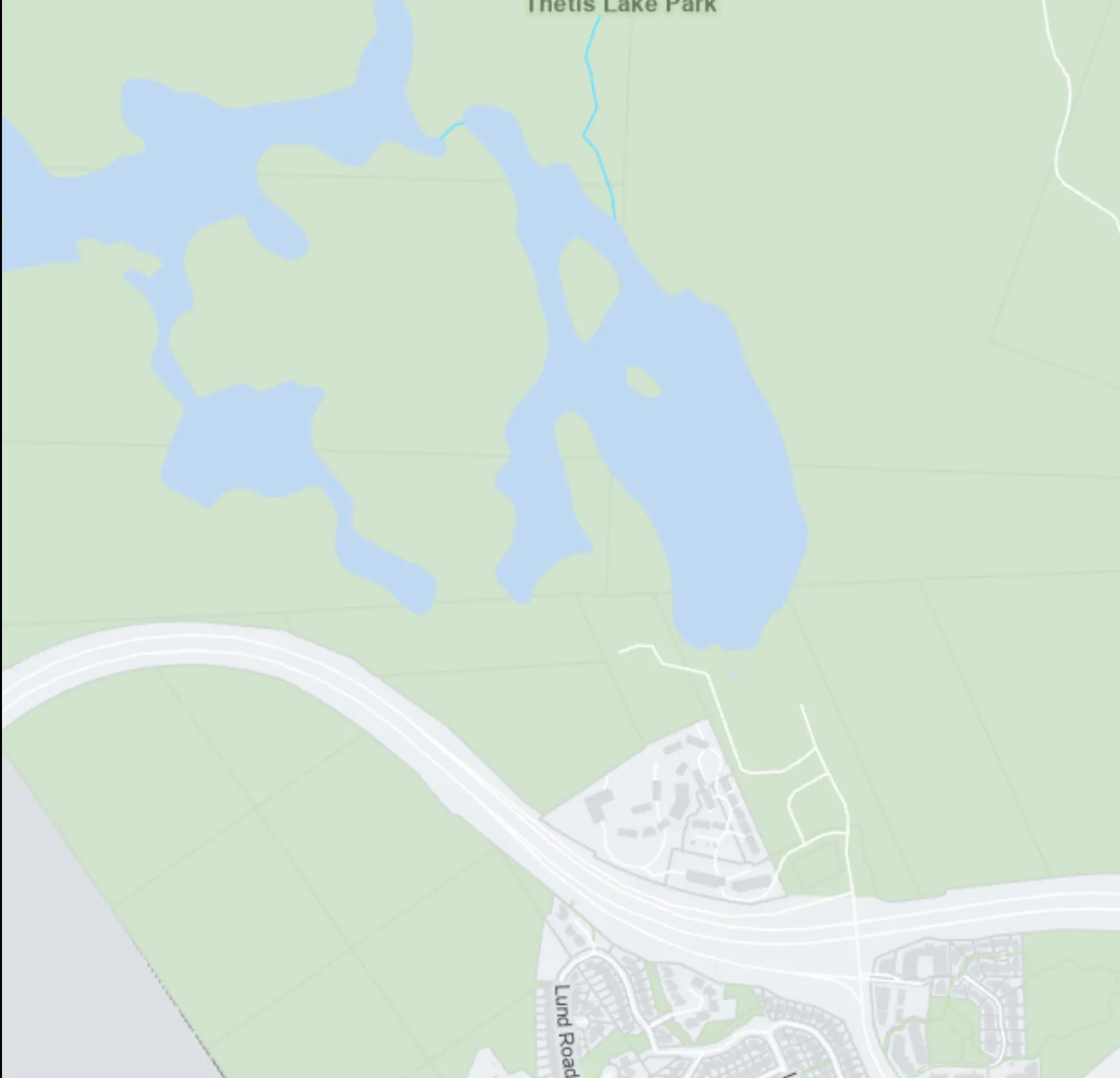
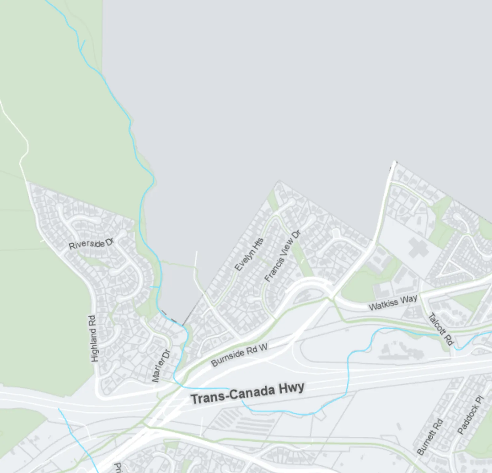
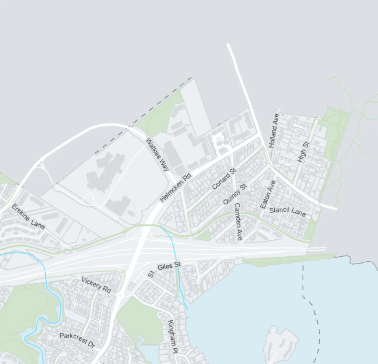
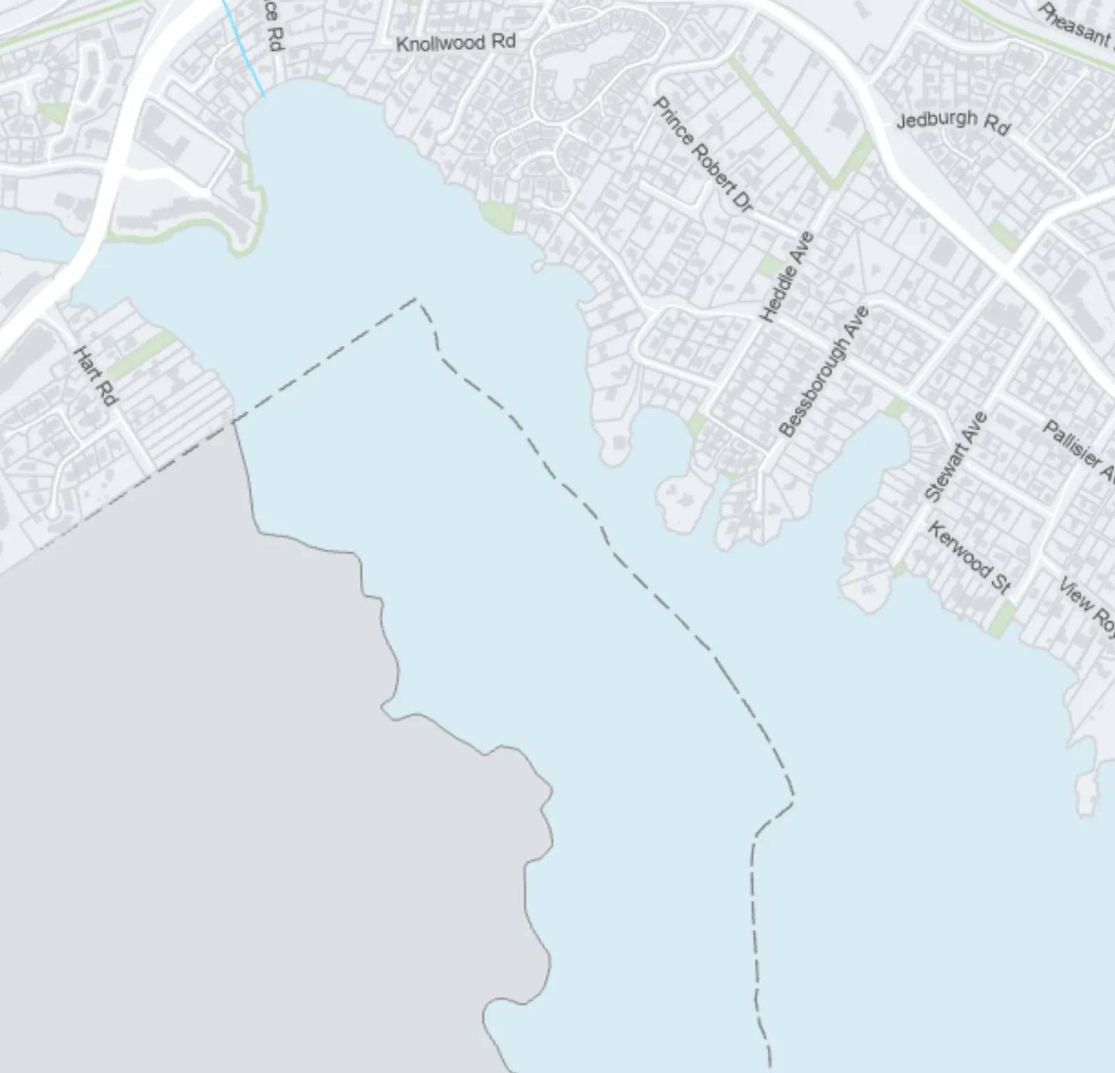
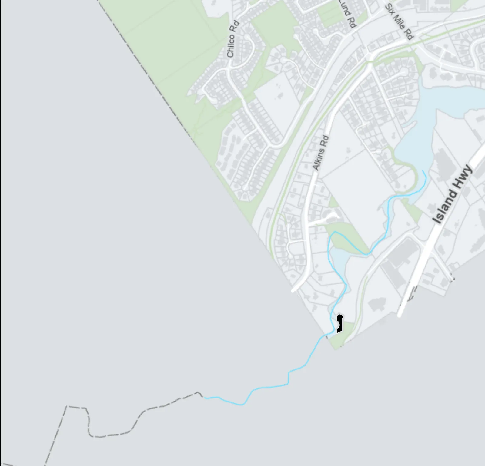
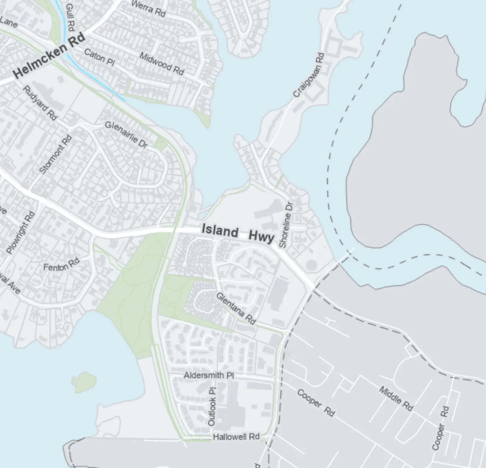
Map specifically highlighting SSMUH parcels within 400m of frequent transit stops.
April 2024Identifies areas where up to 6 units are permitted
ATTACHMENT 5
TOWN OF VIEW ROYAL
Prescribed Frequent Transit Stops
April 2024
Legend
- SSMUH Parcels within 400 m of a Prescribed Frequent Transit Stop: Indicated by dark cross-hatched areas.
- Frequent Transit Stop 400m Buffer: Indicated by dashed circular lines.
- Prescribed Frequent Transit Stop: Indicated by a circular icon containing a lowercase "a".
Additional Map Information
- Scale: 1:11,500
- Highlands Inset: Map inset located in the top left corner.
- Surrounding Jurisdictions: The map identifies borders with the City of Langford, City of Colwood, Esquimalt Harbour, Portage Inlet, Esquimalt Nation, Township of Esquimalt, and District of Saanich.
- Major Roadways: Trans-Canada Hwy, Island Hwy, Helmcken Rd, Watkiss Way, Burnside Rd W, Six Mile Rd, and Atkins Rd.
- Note: The boundaries shown on this map are intended to be approximate. Minor changes will be permitted without amendments to this plan.
Page 92
Document Images
(1)
Extracted from: 2024 06 04 Council Agenda - Agenda - Pdf