This site is in beta — data may be incomplete and features are still being added.
Council Meeting/Documents/ATTACHMENT 8 - Official Community Plan Schedule P Form and Character Development Permit Area Map Amendment
Appendix

ATTACHMENT 8 - Official Community Plan Schedule P Form and Character Development Permit Area Map Amendment

June 4, 2024Page 1042 sections

Map illustrating proposed changes to Development Permit Areas within View Royal.

1 CALL TO ORDER- Mayor Tobias called the meeting to order at 7:00 p.m.
April 2024Categorizes Mixed Residential, Commercial, and Mixed-Use areas

ATTACHMENT 8

Page 104

TOWN OF VIEW ROYAL

Schedule P Form and Character Development Permit Areas

April 2024

Legend

  • Commercial (C)
  • Intensive Mixed-Use (IMU)
  • Mixed Residential (M-R)
  • Neighbourhood Mixed-Use (NMU)
  • Parcel Boundaries

Map Overview and Details
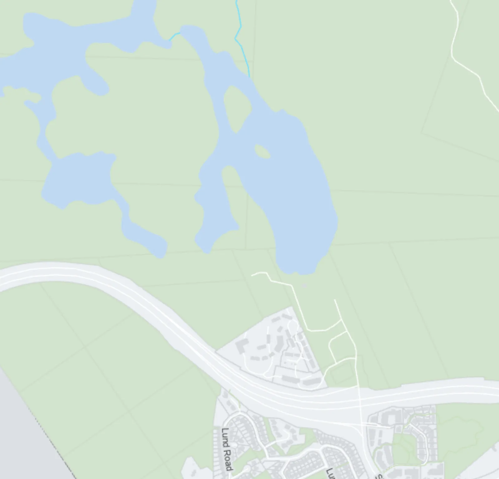
Map detail of the northwest portion of View Royal, including the Highlands Inset area, Upper Thetis Lake, and Pike Lake.
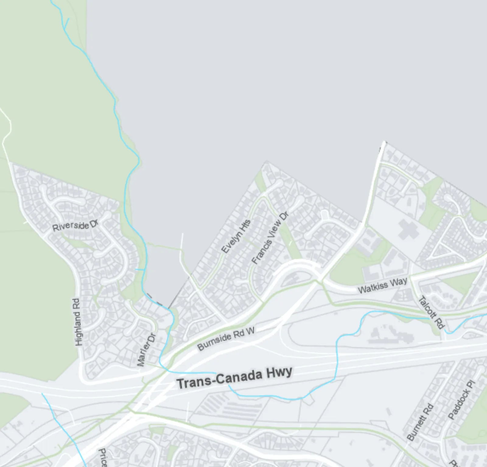
Map detail showing the central-north area including Burnside Road West, Highland Road, and the Trans-Canada Highway corridor.
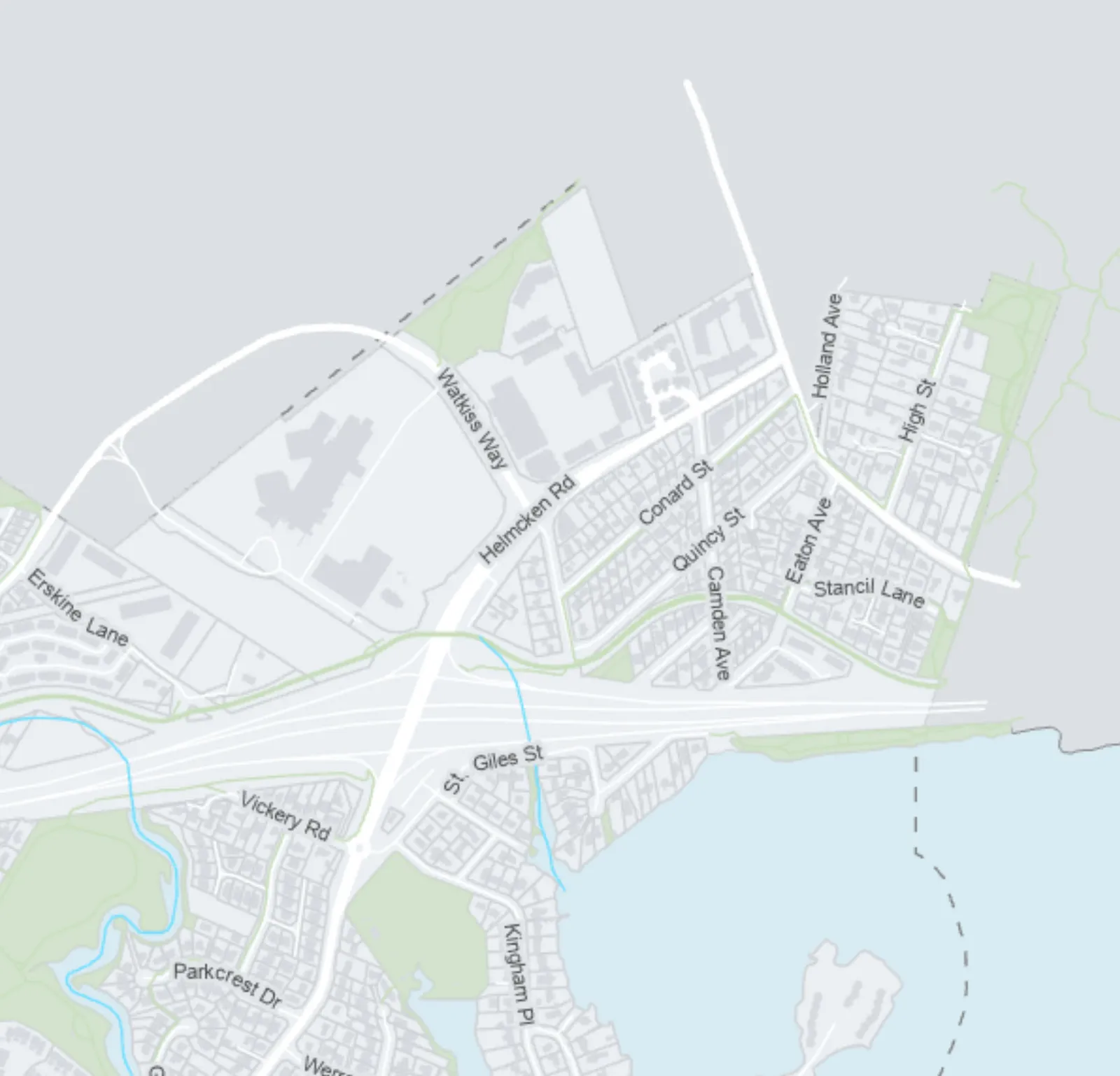
Map detail of the northeast sector, including Watkiss Way, Helmcken Road, and Holland Avenue residential and mixed-use areas.
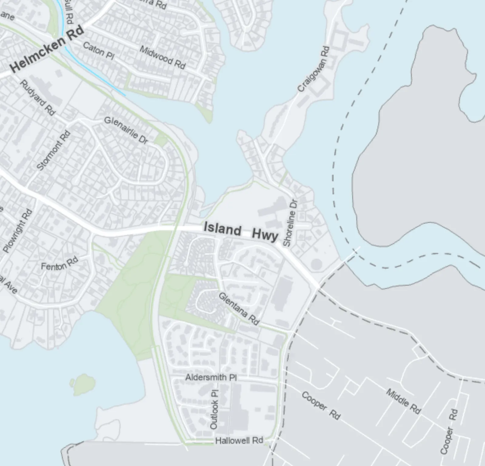
Map detail of the southeast region showing Island Highway, Glentana Road, and the shoreline of Portage Inlet near the Township of Esquimalt border.
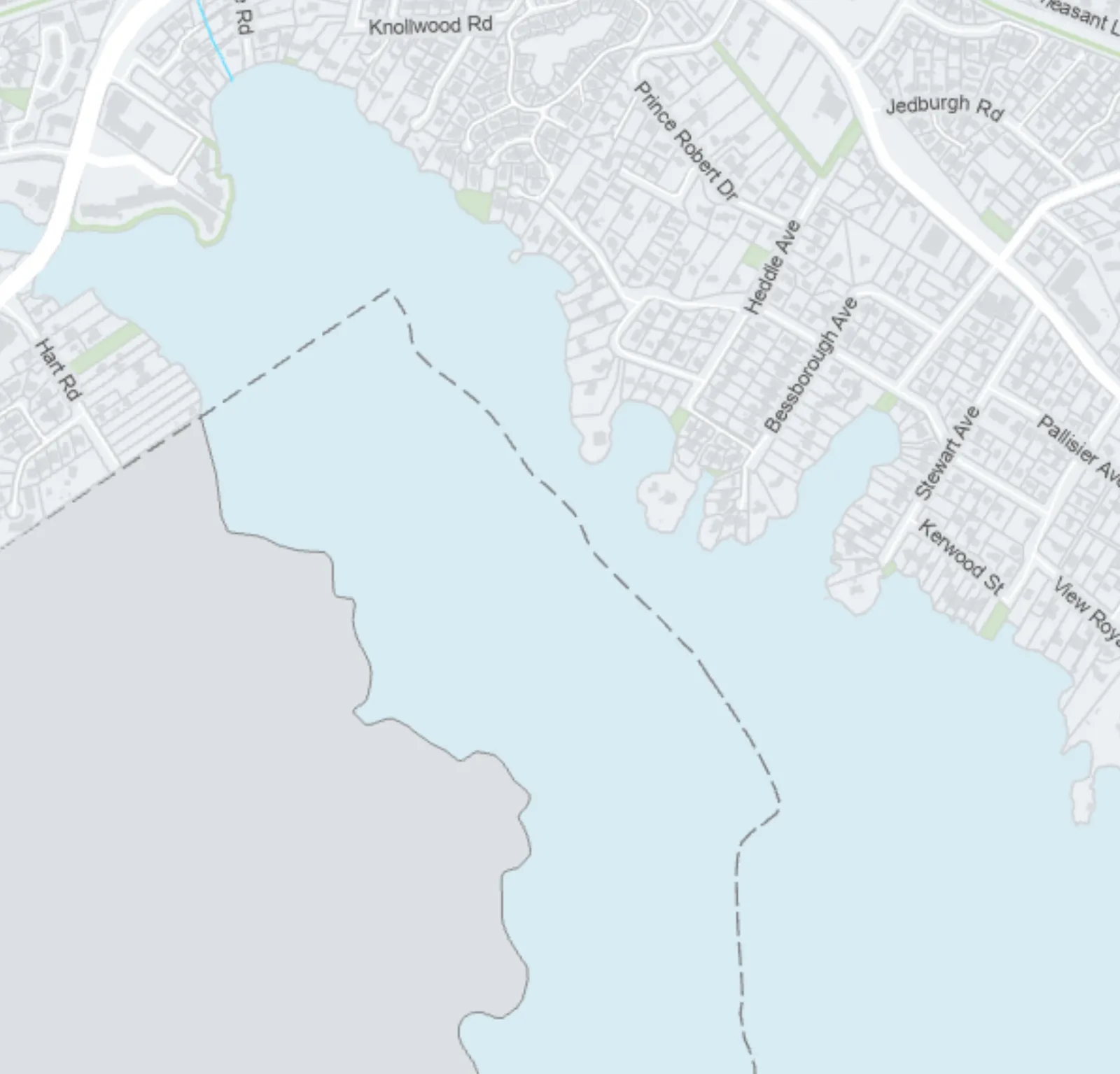
Map detail showing the southern shoreline along Esquimalt Harbour and residential developments near Prince Robert Drive and Bessborough Avenue.
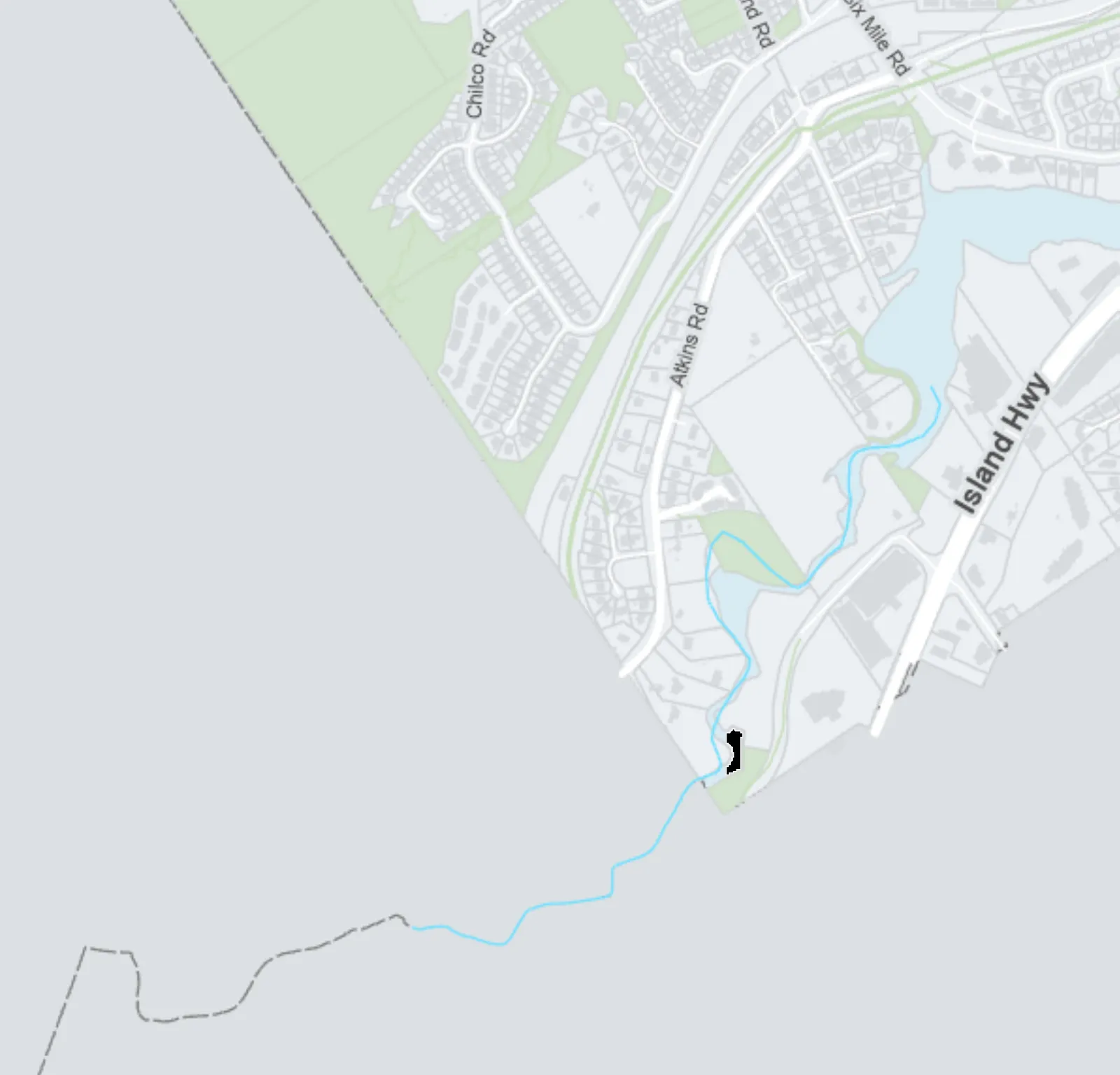
Map detail of the southwestern boundary area, including Atkins Road and the Island Highway connection to the City of Langford and City of Colwood.

Map Information

  • Scale: 1:11,150
  • Scale Bar: 0 to 470 Meters

The boundaries shown on this map are intended to be approximate. Minor changes will be permitted without amendments to this plan.

Geographic Context

  • City of Langford (West)
  • City of Colwood (Southwest)
  • Esquimalt Nation (South)
  • Township of Esquimalt (Southeast)
  • District of Saanich (East)
  • Esquimalt Harbour
  • Portage Inlet
Page 104

Document Images

(1)

Document image
Extracted from: 2024 06 04 Council Agenda - Agenda - Pdf