Appendix
FIGURES - Marine Habitat Review
April 4, 2023Pages 115–1191 section
A collection of maps and site plan figures illustrating the project location and boundary for a proposed recreational dock at 302 Bessborough Avenue.
302 Bessborough AvenueEsquimalt HarbourLimekiln CoveAugust 2022
FIGURES
Figure 1. Location of the upland property 302 Bessborough Avenue and Project Site.
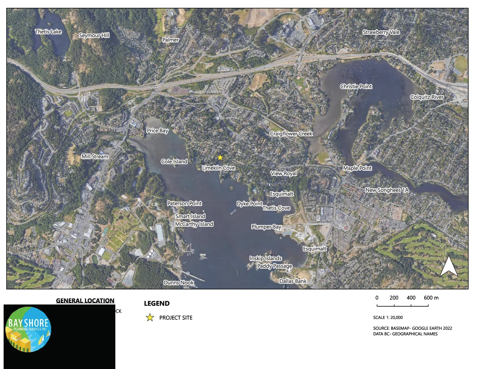
LEGEND
- PROJECT SITE (indicated by yellow star)
Scale 1: 20,000 SOURCE: BASEMAP - GOOGLE EARTH 2022 DATA BC - GEOGRAPHICAL NAMES
Figure 2. Project Site boundary with proposed recreational dock located at 302 Bessborough Avenue
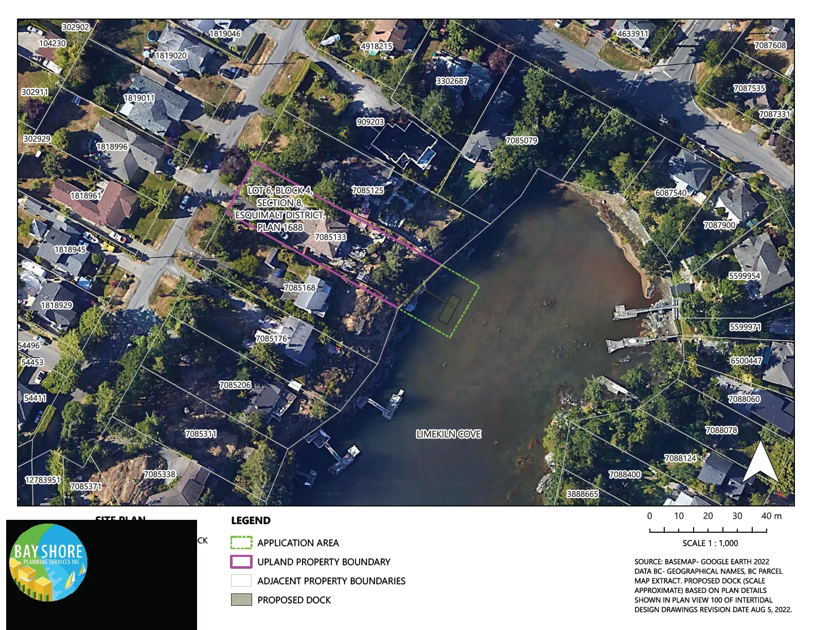
LEGEND
- APPLICATION AREA: (Dashed green line)
- UPLAND PROPERTY BOUNDARY: (Purple line)
- ADJACENT PROPERTY BOUNDARIES: (White lines)
- PROPOSED DOCK: (Grey shaded area)
Scale 1 : 1,000 SOURCE: BASEMAP - GOOGLE EARTH 2022 DATA BC - GEOGRAPHICAL NAMES, BC PARCEL MAP EXTRACT. PROPOSED DOCK (SCALE APPROXIMATE) BASED ON PLAN DETAILS SHOWN IN PLAN VIEW 100 OF INTERTIDAL DESIGN DRAWINGS REVISION DATE AUG 5, 2022.
Page 115–119
Extracted from: 2023 04 04 Council Agenda - Agenda - Pdf