This site is in beta — data may be incomplete and features are still being added.
Appendix

FIGURES

April 4, 2023Pages 173–1771 section

A collection of maps showing the general location and specific project site boundaries for the 302 Bessborough Avenue dock project.

8.1b Environmental Development Permit with Variance 2022/11 - 302 Bessborough Avenue
Figure 1: Location of upland propertyFigure 2: Project Site boundaryScale 1:20,000Scale 1:1,000

FIGURES

Figure 1. Location of the upland property 302 Bessborough Avenue and Project Site.
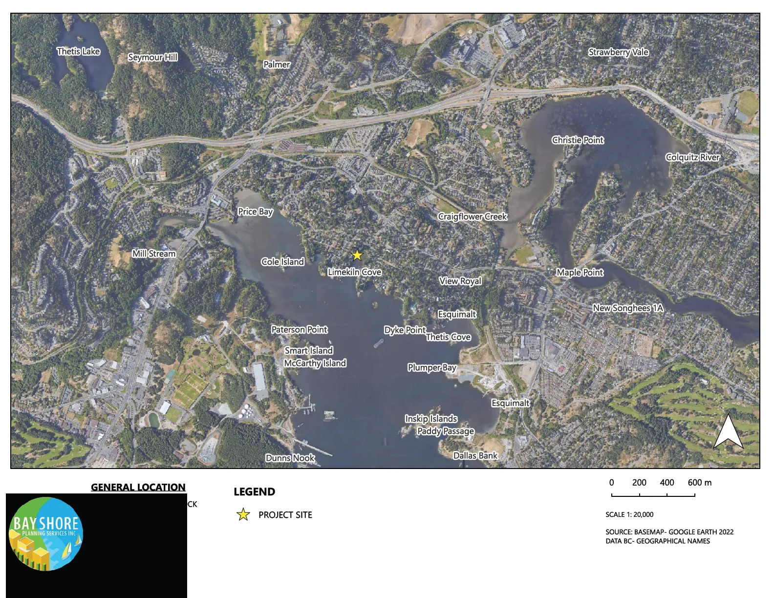
Aerial map showing the general location of the project site at Limekiln Cove in Esquimalt Harbour, with a yellow star indicating the project site.

Figure 2. Project Site boundary with proposed recreational dock located at 302 Bessborough Avenue
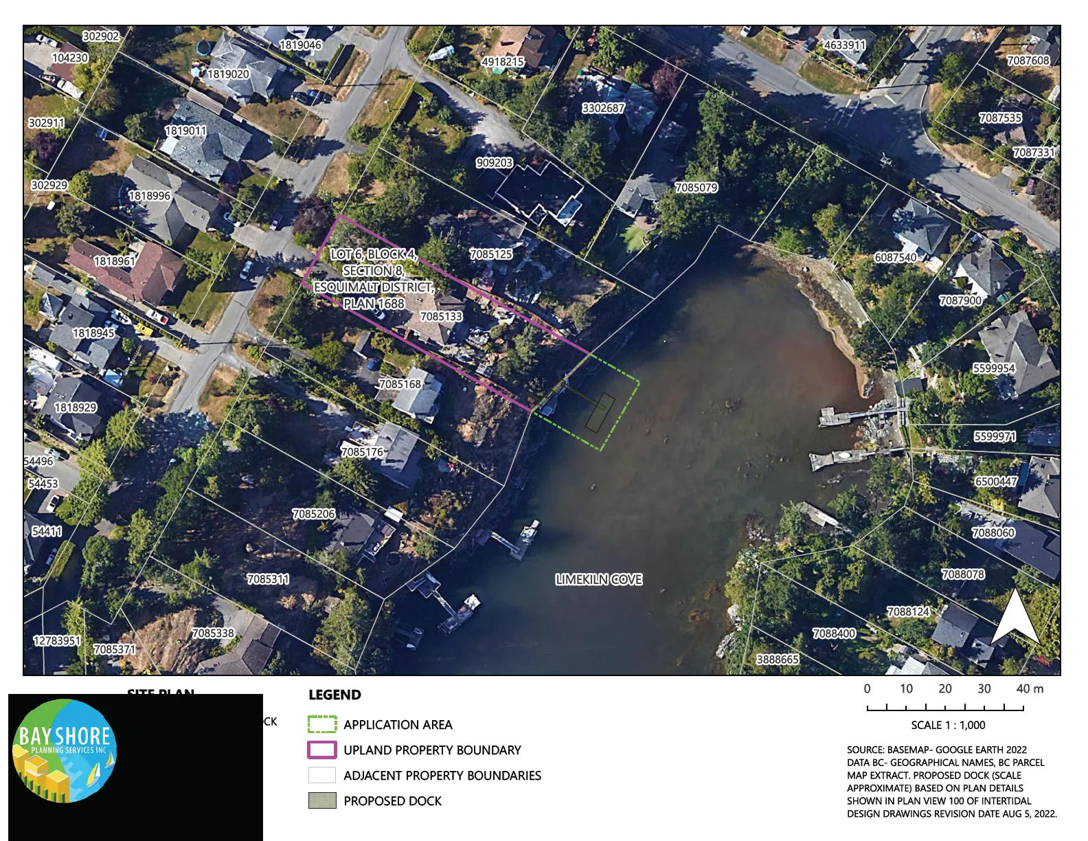
Detailed site plan showing the application area, upland property boundary for Lot 6, Block 4, Section 8, Esquimalt District, Plan 1688, adjacent property boundaries, and the proposed dock location in Limekiln Cove.
Page 173–177
Extracted from: 2023 04 04 Council Agenda - Agenda - Pdf