This site is in beta — data may be incomplete and features are still being added.
Council Meeting/Documents/Location Map: Packers Pump Station
Appendix

Location Map: Packers Pump Station

July 18, 2023Page 1042 sections

Geographical map identifying the location of the Packers Pump Station near Trans-Canada Highway and Colwood Offramp.

1 CALL TO ORDER- Mayor Tobias called the meeting to order at 7:00p.m.
Site location marked with red arrow near Trans-Canada Highway

Town of View Royal C-115

Financial Plan 2023 – 2027

Page 104

Additional Information

Location:
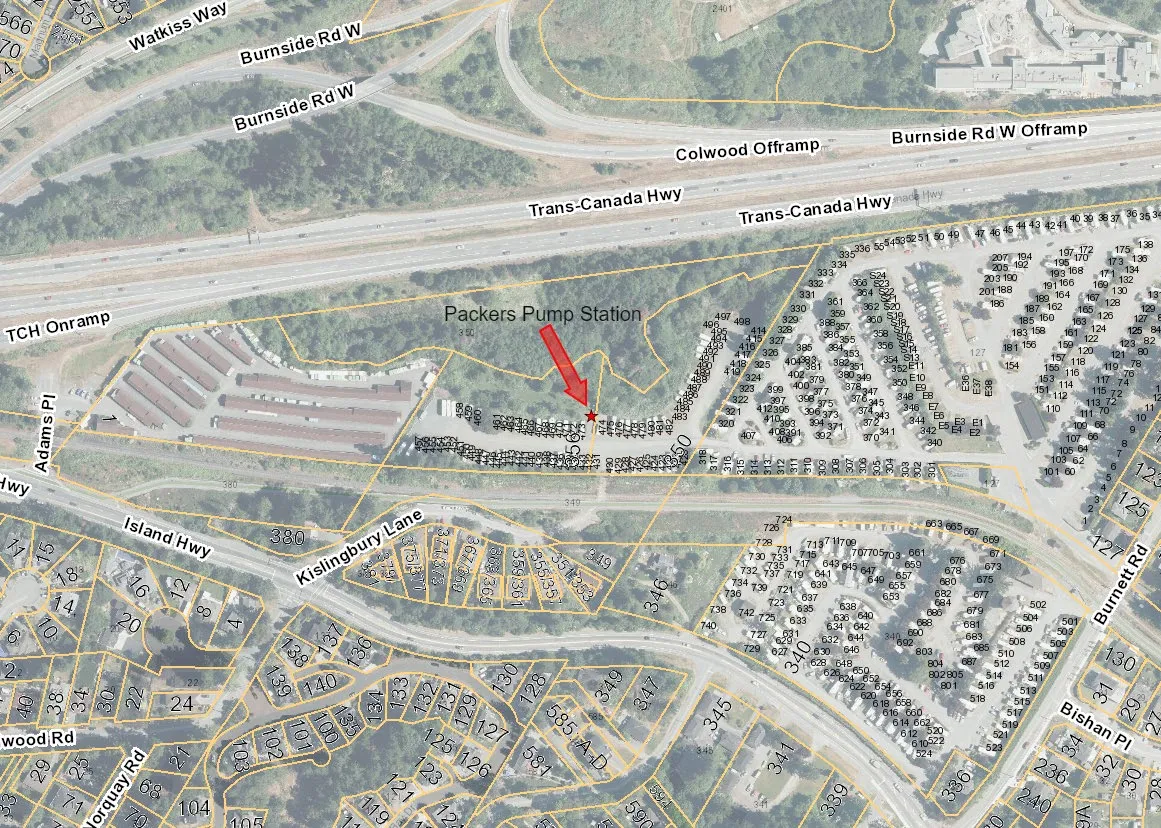
Map showing the location of the Packers Pump Station, indicated by a red arrow, situated between the Trans-Canada Highway and residential areas along Kislingbury Lane and Island Highway.
Page 104
Extracted from: 2023 07 18 Council Agenda - Agenda - Pdf