COUNCIL REPORT: ENVIRONMENTAL DEVELOPMENT PERMIT – 25 STILLWATER RD
Staff report recommending approval of an environmental development permit for a two-lot subdivision at 25 Stillwater Road.
TO: Council DATE: February 26, 2015 FROM: J. Davison, MCIP RPP, Planner MEETING DATE: March 3, 2015 FILE NO.: 3060-20-2014-14
ENVIRONMENTAL DEVELOPMENT PERMIT – 25 STILLWATER RD
RECOMMENDATION
THAT Council approve Development Permit 2014/14 as per the report from the Planner dated February 26, 2015
AND THAT Development Permit 2014/14 include the following variances:
- Variance to the setback from the rear lot line within the R-1B: Detached Residential (Medium Lot) zone from 6m to 3.5m;
AND THAT Development Permit 2014/14 include the following conditions:
- a geotechnical report from a qualified geotechnical engineer be submitted indicating that the lot will remain viable over a 100 year period in the context of potential sea level rise due to climate change;
- a shoreline reclamation plan be submitted, consistent with both the Environmental Report attached to this report and to the Natural Watercourse and Shoreline Areas Development Permit Area Guidelines within the Official Community Plan, to the satisfaction of the Director of Development Services;
- a deposit for 125% of the reclamation cost estimate be provided to the Town as security against damage to the natural environment or landscaping deficiencies.
CHIEF ADMINISTRATIVE OFFICER'S COMMENTS
I concur with the recommendation.
DIRECTOR OF DEVELOPMENT SERVICES' COMMENTS
I concur with the recommendation.
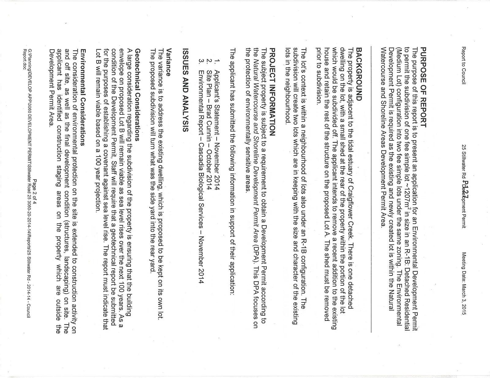
PURPOSE OF REPORT
The purpose of this report is to present an application for an Environmental Development Permit to permit the subdivision of one fee simple lot ~1207m² in size in an R-1B: Detached Residential (Medium Lot) configuration into two fee simple lots under the same zoning. The Environmental Development Permit is required as the existing and newly created lot is within the Natural Watercourse and Shoreline Areas Development Permit Area.
BACKGROUND
The property is adjacent to the tidal estuary of Craigflower Creek. There is one detached dwelling on the lot, with a small shed at the rear of the property within the portion of the lot which would be subdivided off. The applicant intends to remove a recent addition to the existing house and retain the rest of the structure on the proposed Lot A. The shed must be removed prior to subdivision.
The lot's context is within a neighbourhood of lots also under an R-1B configuration. The subdivision will create two lots which are in keeping with the size and character of the existing lots in the neighbourhood.
PROJECT INFORMATION
The subject property is subject to a requirement to obtain a Development Permit according to the Natural Watercourse and Shoreline Development Permit Area (DPA). This DPA focuses on the protection of environmentally sensitive areas.
The applicant has submitted the following information in support of their application:
- Applicant's Statement – November 2014
- Site Plan – Brad Cunnin – October 2014
- Environmental Report – Cascadia Biological Services – November 2014
ISSUES AND ANALYSIS
Variance
The variance is to address the existing dwelling, which is proposed to be kept on its own lot. The proposed subdivision will turn what was the side yard into the rear yard.
Geotechnical Considerations
A large consideration regarding the subdivision of the property is ensuring that the building envelope on proposed Lot B will remain viable as sea level rises over the next 100 years. As a condition of the Development Permit, Staff will require that a geotechnical report be submitted for the purposes of establishing a covenant against sea level rise. The report must indicate that Lot B will remain viable based on a 100 year projection.
Environmental Considerations
The consideration of environmental protection on the site is extended to construction activity on and off site, as well as the final development condition (structures, landscaping) on site. The applicant has identified construction staging areas on the property which are outside the Development Permit Area.
There is currently no anticipated development proposal for the Development Permit Area on Lot B. There will likely be frontage improvements on the street which extend into the DP Area.
The Environmental Report indicates that subdivision is viable:
"The subject property therefore is conducive to the subdivision as long as rare elements are protected on-site during the construction period and/or mitigation measures are adhered to as detailed in the recommendations below..."
The report calls for the reclamation of disturbed areas within the Development Permit Area with native plantings. Before the item comes forward to Council, staff will require of the applicant a reclamation plan for the Development Permit Area consistent with the Official Community Plan and the Environmental Report, with the requirement that security be taken to ensure restoration work is completed and consistent with any plans that are submitted.
Generally, staff feels that if the recommendations put forth in the Environmental Report are implemented and the DP area is planted with native species, that there will be minimal negative impact on the DP area as a result of the development.
RECOMMENDATION
THAT Council approve Development Permit 2014/14 as per the report from the Planner dated February 26, 2015
AND THAT Development Permit 2014/14 include the following variances:
- Variance to the setback from the rear lot line within the R-1B: Detached Residential (Medium Lot) zone from 6m to 3.5m;
AND THAT Development Permit 2014/14 include the following conditions:
- a geotechnical report from a qualified geotechnical engineer be submitted indicating that the lot will remain viable over a 100 year period in the context of potential sea level rise due to climate change;
- a shoreline reclamation plan be submitted, consistent with both the Environmental Report attached to this report and to the Natural Watercourse and Shoreline Areas Development Permit Area Guidelines within the Official Community Plan, to the satisfaction of the Director of Development Services;
- a deposit for 125% of the reclamation cost estimate be provided to the Town as security against damage to the natural environment or landscaping deficiencies.
SUBMITTED BY: J. Davison, MCIP RPP, Planner
REVIEWED BY: L. Chase, MCIP RPP, Director of Development Services
ATTACHMENTS:
- Subject Property Map
- Subject Property Orthophoto
- Applicant's Statement with site plan – November 2014
- Site Plan – Brad Cunnin – October 2014
- Environmental Report – Cascadia Biological Services – November 2014
- Staff photos of site
Document Images
(4)