Appendix
Subject Property Map - 25 Stillwater Rd
March 3, 2015Page 1341 section
Cadastral map identifying the subject property (25 Stillwater Road) and adjacent lots in the neighborhood.
25 Stillwater RoadMap P130
Subject Property Map - 25 Stillwater Rd
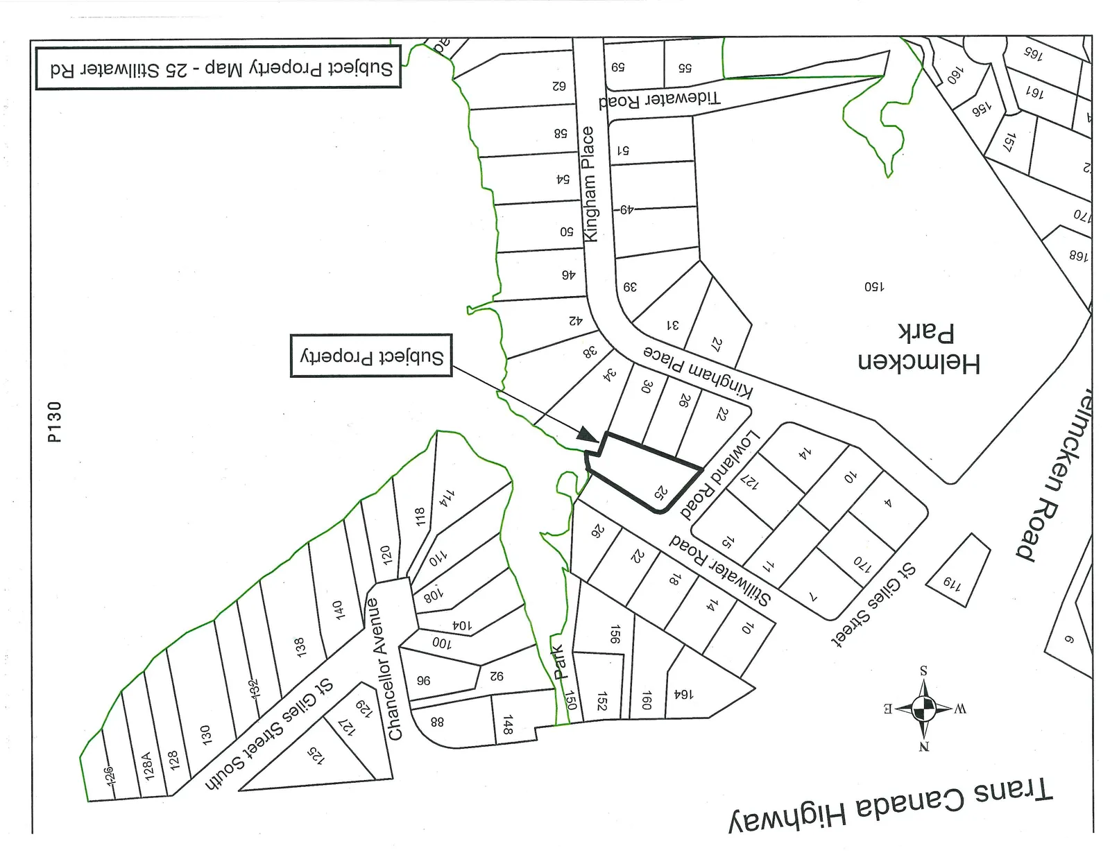
Map Details:
- Subject Property: 25 Stillwater Road
- Parks: Helmcken Park, Park
- Streets:
- Trans Canada Highway
- St Giles Street
- St Giles Street South
- Chancellor Avenue
- Stillwater Road
- Lowland Road
- Kingham Place
- Tidewater Road
- Helmcken Road
- Directional Indicator: North arrow showing West, North, East, and South orientations.
Page 134
Extracted from: 2015 03 03 Council Agenda