Appendix
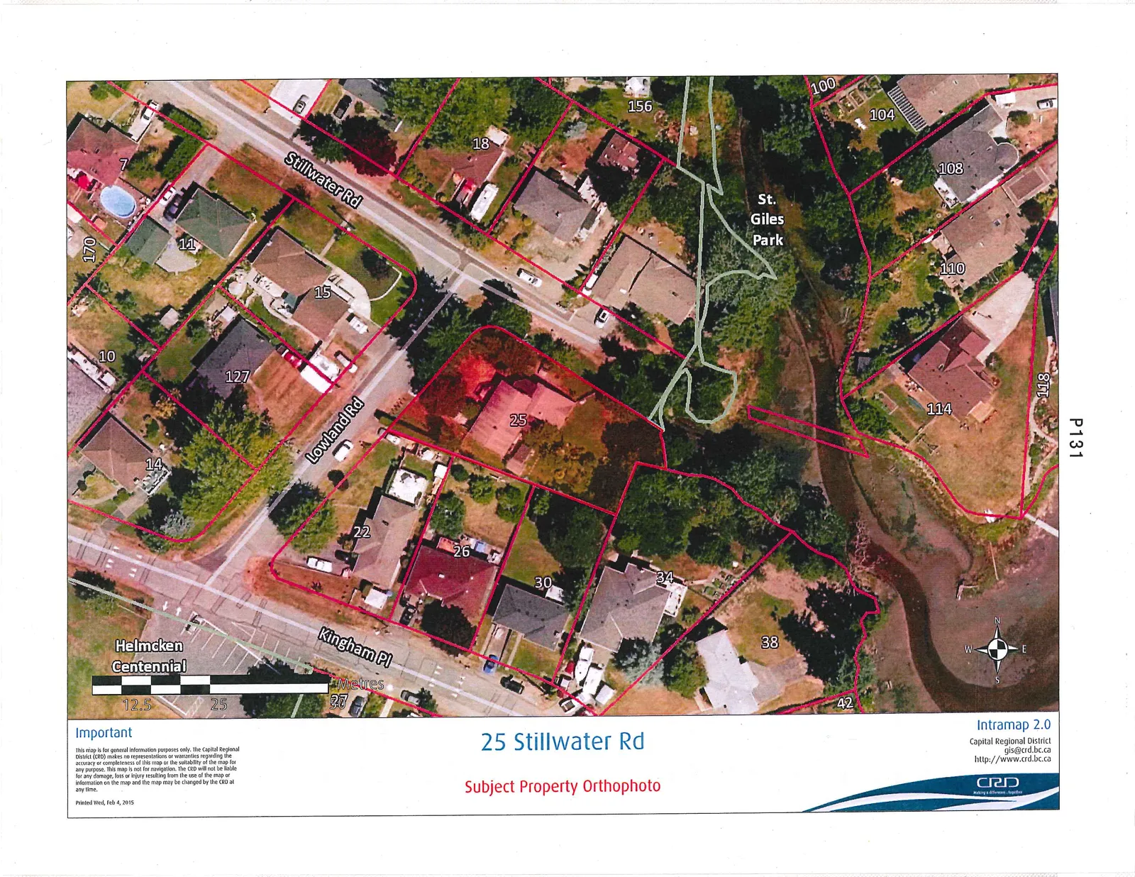
Subject Property Orthophoto - 25 Stillwater Rd
March 3, 2015Page 1351 section
Aerial orthophoto showing the physical state of the 25 Stillwater Road property and the surrounding natural watercourse.
25 Stillwater RoadPhoto P131February 4, 2015
25 Stillwater Rd Subject Property Orthophoto
Important
This map is for general information purposes only. The Capital Regional District (CRD) makes no representations or warranties regarding the accuracy or completeness of this map or the suitability of the map for any purpose. This map is not for navigation. The CRD will not be liable for any damage, loss or injury resulting from the use of the map or information on the map and the map may be changed by the CRD at any time.
Printed: Wed, Feb 4, 2015
Page 135
Extracted from: 2015 03 03 Council Agenda