Appendix
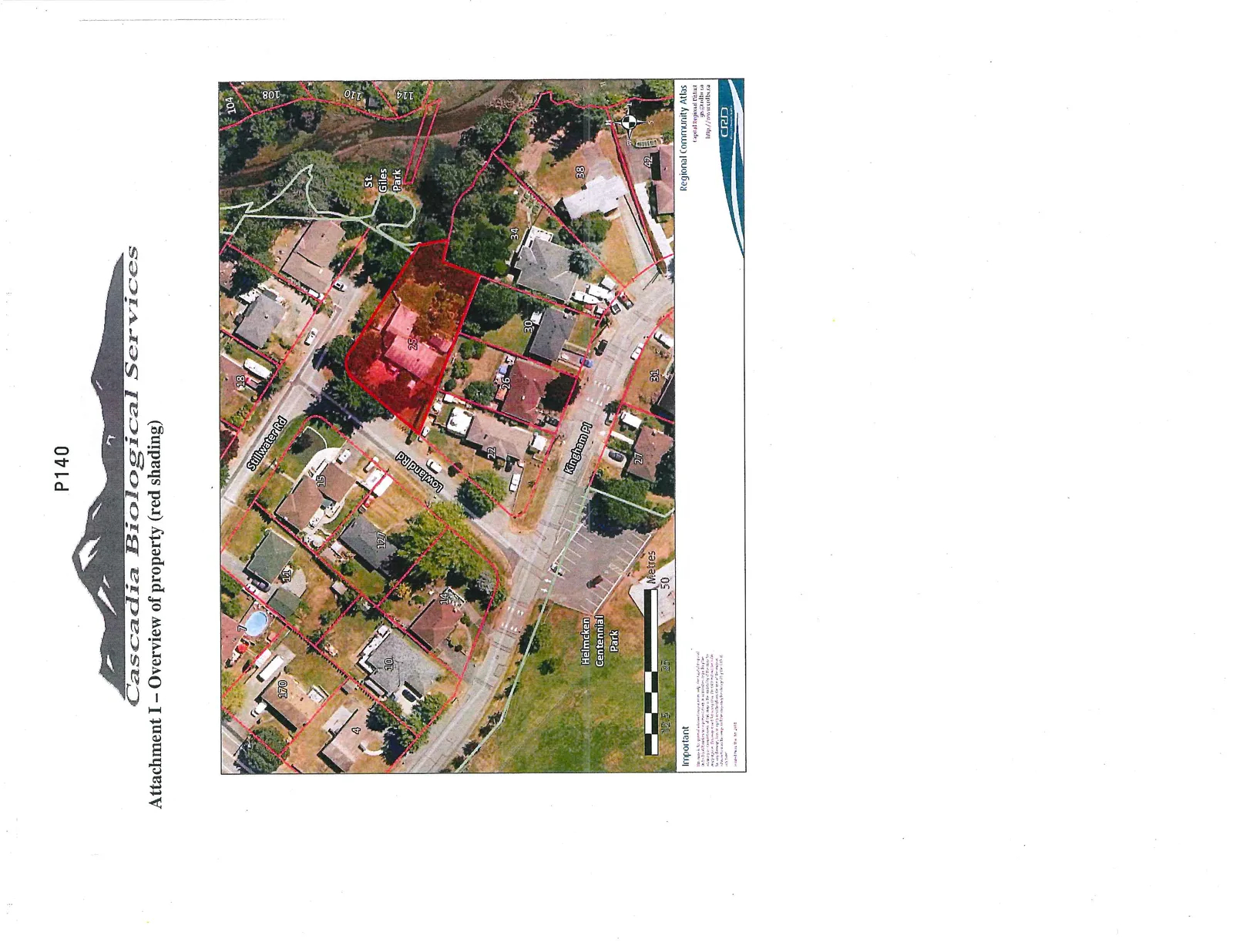
Attachment I - Overview of property (red shading)
March 3, 2015Page 1441 section
An aerial property map highlighting the boundaries of the 25 Stillwater Road site in red shading.
25 Stillwater RoadP140
Attachment I – Overview of property (red shading)
Important
This map is for general reference purposes only. The Capital Regional District (CRD) makes no representations or warranties, express or implied, as to the accuracy, completeness, or reliability of the data for any purpose. Users should verify all information with the original sources. The CRD is not liable for any damage, loss, or injury resulting from the use of this map or information.
Page 144
Extracted from: 2015 03 03 Council Agenda